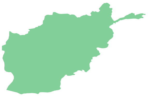
Geo Map - Asia - Afghanistan
Geo Map - Africa - Mauritania

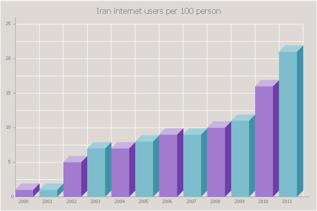
The 3D vertical bar graph sample shows the Iran internet users per 100 person from 2000 to 2011. It was designed on the base of the Commons Wikimedia file: Iran internet users per 100 person.png.
[commons.wikimedia.org/ wiki/ File:Iran_ internet_ users_ per_ 100_ person.png]
This file is licensed under the Creative Commons Attribution-Share Alike 3.0 Unported license. [creativecommons.org/ licenses/ by-sa/ 3.0/ deed.en]
The data source is World Bank: [data.worldbank.org/ country/ iran-islamic-republic]
"In 1993 Iran became the second country in the Middle East to be connected to the Internet, and since then the government has made significant efforts to improve the nation's ICT infrastructure. Iran's national Internet connectivity infrastructure is based on two major networks: the public switched telephone network (PSTN) and the public data network. The PSTN provides a connection for end-users to Internet service providers (ISPs) over mostly digital lines and supports modem-based connections. The Data Communication Company of Iran (DCI), a subsidiary of TCI, operates the public data network." [Internet in Iran. Wikipedia]
The 3D column chart example "Iran internet users per 100 person" was created using the ConceptDraw PRO diagramming and vector drawing software extended with the Bar Graphs solution from the Graphs and Charts area of ConceptDraw Solution Park.
3D Column chart
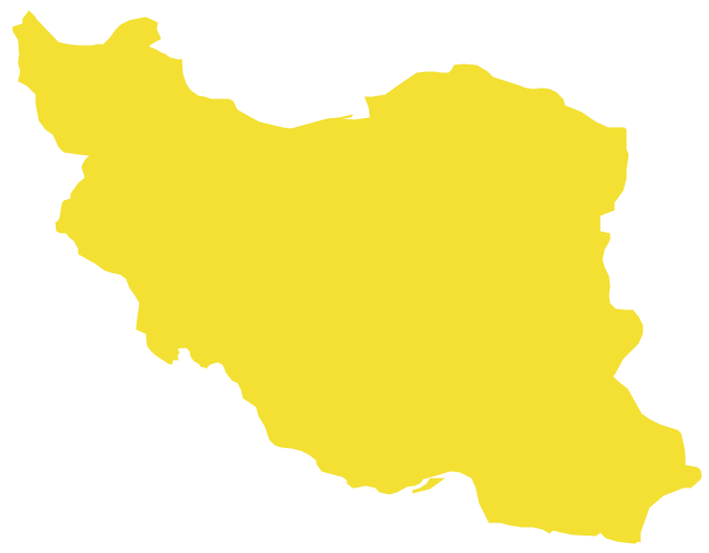
Geo Map - Asia - Iran
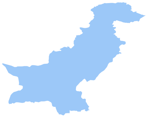
Geo Map - Asia - Pakistan
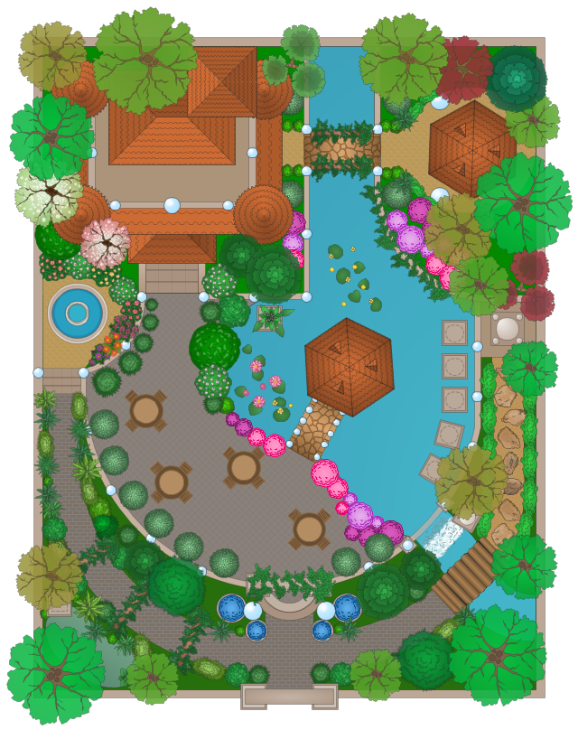
This example of moorish garden design shows ornamental trees, bushes, flowers, pools, fontain, garden furniture, wall with gate, and building layout.
"Traditionally, an Islamic garden is a cool place of rest and reflection, and a reminder of paradise. ... The general theme of a traditional Islamic garden is water and shade, not surprisingly since Islam came from and generally spread in a hot and arid climate. Unlike English gardens, which are often designed for walking, Islamic gardens are intended for rest and contemplation. For this reason, Islamic gardens usually include places for sitting." [Islamic garden. Wikipedia]
The landscape design sample "Moresque garden" was created using the ConceptDraw PRO diagramming and vector drawing software extended with the Landscape and Garden solution from the Building Plans area of ConceptDraw Solution Park.
Garden design
 Family Tree
Family Tree solution with included vector design shapes for drawing family trees, pedigree chart symbols, photo blocks of different detailing and professionally designed samples, extends the functionality of ConceptDraw DIAGRAM software making it the best family tree maker and easy-to-use ancestry trees designer program for researchers, scientists, historians, genetics, medics, archeologists, and other stakeholders. Use it to design informative and colorful genealogy trees, simple family tree or extensive ancestry tree of any depth, genealogy schematics and illustrations with family trees.
Geo Map - Asia - Papua New Guinea

Geo Map - Asia - Oman
Geo Map - Asia - Yemen