The stencils library "Asia flags" contains 49 clipart images of Asian state flags.
"... international and national flags used in Asia.
International: Flag of the Council of Europe, Flag of the Commonwealth of Independent States, Flag of the Organization of the Islamic Conference, Flag of the Organization of the Petroleum Exporting Countries, Flag of the Cooperation Council for the Arab States of the Gulf.
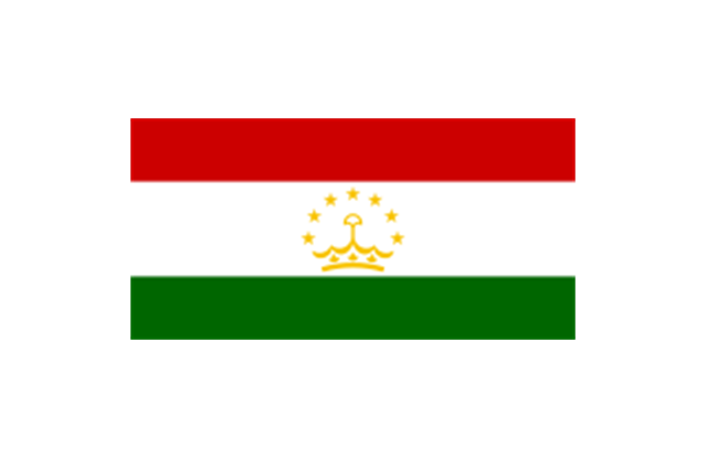
Central Asia: Flag of Kazakhstan, Flag of Kyrgyzstan, Flag of Tajikistan, Flag of Turkmenistan, Flag of Uzbekistan.
Eastern Asia: Flag of the People's Republic of China, Flag of Hong Kong (China), Flag of Japan, Flag of North Korea, Flag of South Korea, Flag of Macau (China), Flag of Mongolia, Flag of the Republic of China (Taiwan).
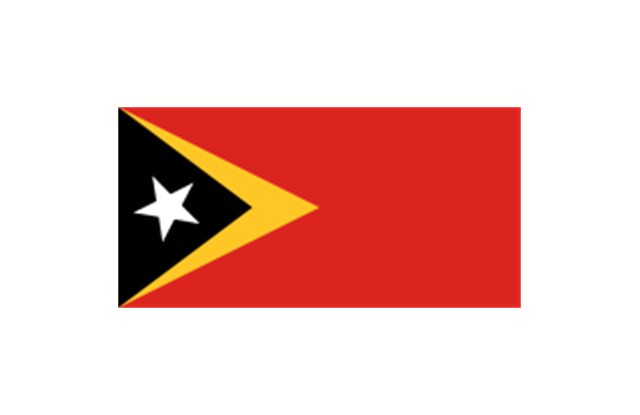
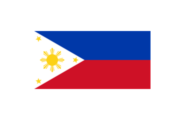
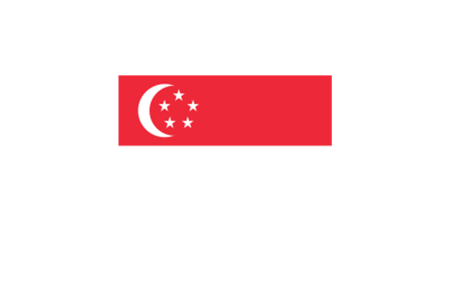
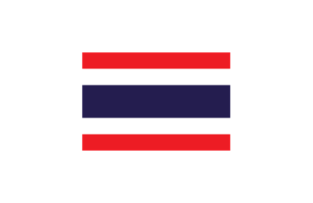
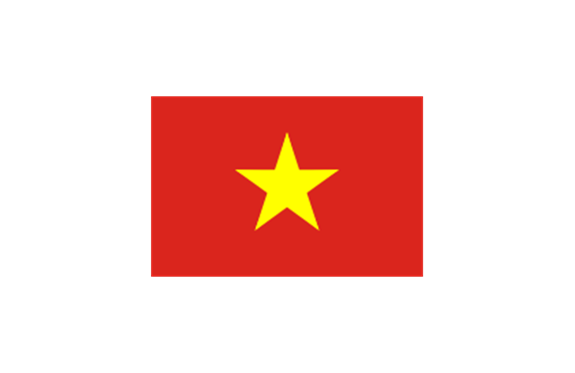
Southeast Asia: Flag of Brunei, Flag of Burma, Flag of Cambodia, Flag of Christmas Island (Australia), Flag of the Cocos (Keeling) Islands (Australia), Flag of East Timor, Flag of Indonesia, Flag of Laos, Flag of Malaysia, Flag of the Philippines, Flag of Singapore, Flag of Thailand, Flag of Vietnam.
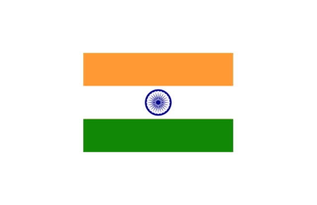
Southern Asia: Flag of Bangladesh, Flag of Bhutan, Flag of the British Indian Ocean Territory (United Kingdom), Flag of India, Flag of Maldives, Flag of Nepal, Flag of Pakistan, Flag of Sri Lanka.
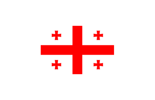
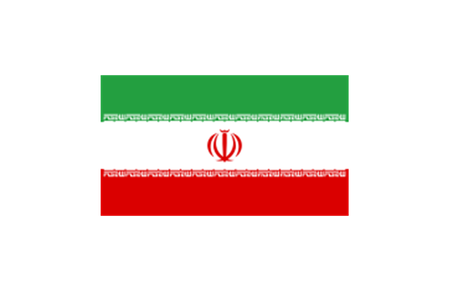
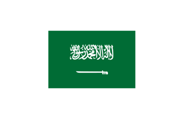
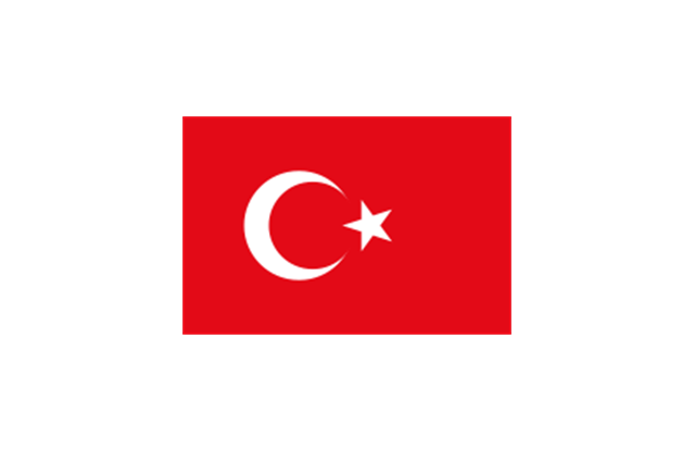
Western Asia: Flag of Abkhazia, Flag of Afghanistan, Flag of Akrotiri and Dhekelia (United Kingdom), Flag of Armenia, Flag of Azerbaijan, Flag of Bahrain, Flag of Cyprus, Flag of Egypt, Flag of Georgia, Flag of Iran, Flag of Iraq, Flag of Israel, Flag of Jordan, Flag of Kuwait, Flag of Lebanon, Flag of Nagorno-Karabakh, Flag of Northern Cyprus, Flag of Oman, Flag of Palestine, Flag of Qatar, Flag of Saudi Arabia, Flag of South Ossetia, Flag of Syria, Flag of Turkey, Flag of the United Arab Emirates, Flag of Yemen.
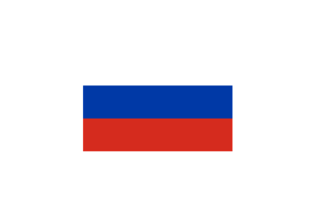
Northern Asia: Flag of Russia." [Flags of Asia. Wikipedia]
The clip art example "Asia flags - Stencils library" was created using the ConceptDraw PRO diagramming and vector drawing software extended with the Continent Maps solution from the Maps area of ConceptDraw Solution Park.
www.conceptdraw.com/ solution-park/ maps-continent
"... international and national flags used in Asia.
International: Flag of the Council of Europe, Flag of the Commonwealth of Independent States, Flag of the Organization of the Islamic Conference, Flag of the Organization of the Petroleum Exporting Countries, Flag of the Cooperation Council for the Arab States of the Gulf.
Central Asia: Flag of Kazakhstan, Flag of Kyrgyzstan, Flag of Tajikistan, Flag of Turkmenistan, Flag of Uzbekistan.
Eastern Asia: Flag of the People's Republic of China, Flag of Hong Kong (China), Flag of Japan, Flag of North Korea, Flag of South Korea, Flag of Macau (China), Flag of Mongolia, Flag of the Republic of China (Taiwan).
Southeast Asia: Flag of Brunei, Flag of Burma, Flag of Cambodia, Flag of Christmas Island (Australia), Flag of the Cocos (Keeling) Islands (Australia), Flag of East Timor, Flag of Indonesia, Flag of Laos, Flag of Malaysia, Flag of the Philippines, Flag of Singapore, Flag of Thailand, Flag of Vietnam.
Southern Asia: Flag of Bangladesh, Flag of Bhutan, Flag of the British Indian Ocean Territory (United Kingdom), Flag of India, Flag of Maldives, Flag of Nepal, Flag of Pakistan, Flag of Sri Lanka.
Western Asia: Flag of Abkhazia, Flag of Afghanistan, Flag of Akrotiri and Dhekelia (United Kingdom), Flag of Armenia, Flag of Azerbaijan, Flag of Bahrain, Flag of Cyprus, Flag of Egypt, Flag of Georgia, Flag of Iran, Flag of Iraq, Flag of Israel, Flag of Jordan, Flag of Kuwait, Flag of Lebanon, Flag of Nagorno-Karabakh, Flag of Northern Cyprus, Flag of Oman, Flag of Palestine, Flag of Qatar, Flag of Saudi Arabia, Flag of South Ossetia, Flag of Syria, Flag of Turkey, Flag of the United Arab Emirates, Flag of Yemen.
Northern Asia: Flag of Russia." [Flags of Asia. Wikipedia]
The clip art example "Asia flags - Stencils library" was created using the ConceptDraw PRO diagramming and vector drawing software extended with the Continent Maps solution from the Maps area of ConceptDraw Solution Park.
www.conceptdraw.com/ solution-park/ maps-continent
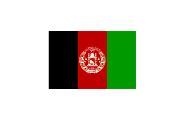
Afghanistan
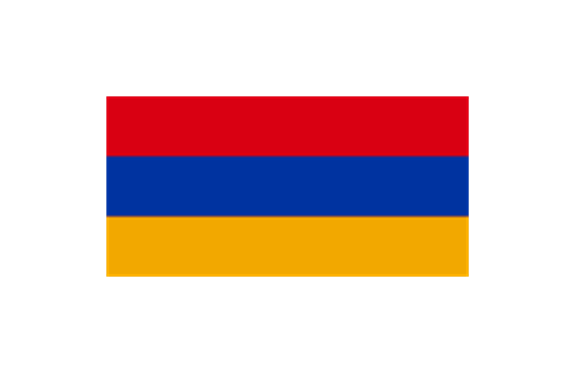
Armenia
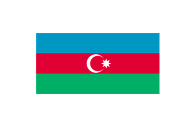
Azerbaijan
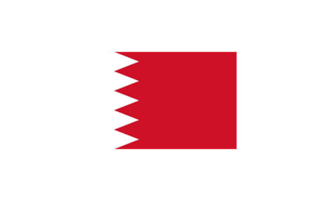
Bahrain
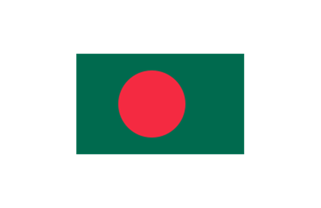
Bangladesh
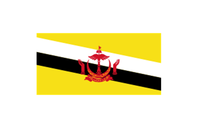
Brunei
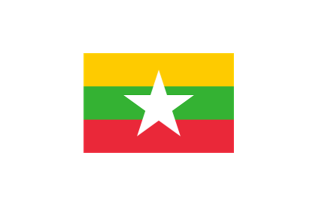
Burma
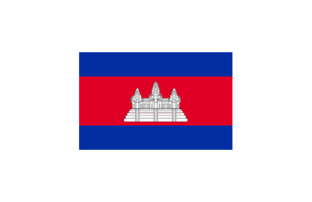
Cambodia
China (PRC)
-asia-flags---stencils-library.png--diagram-flowchart-example.png)
Cyprus

East Timor
Georgia
India
Indonesia

Iran
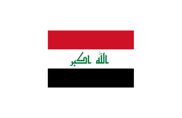
Iraq
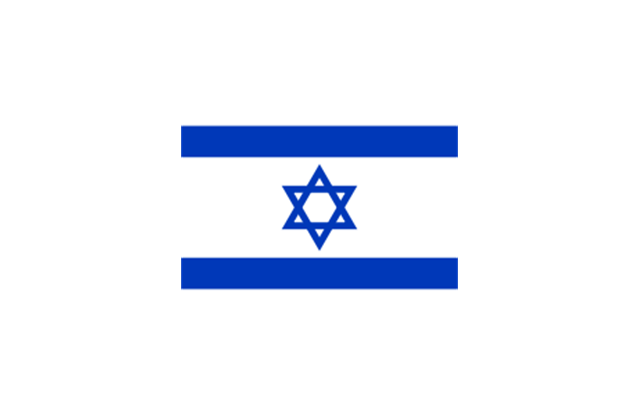
Israel
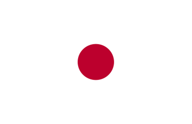
Japan
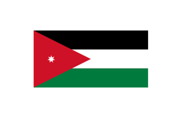
Jordan
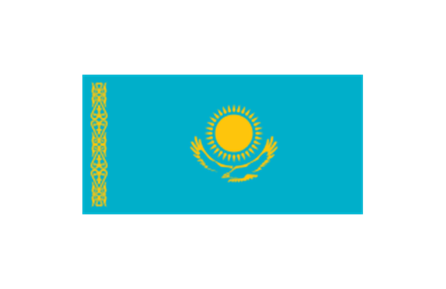
Kazakhstan
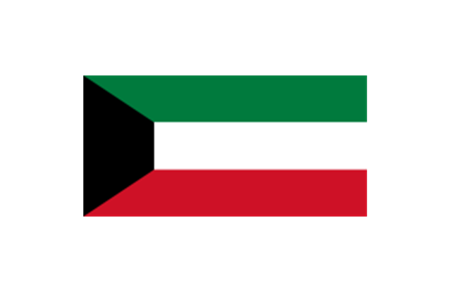
Kuwait
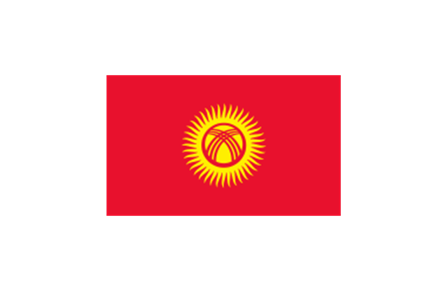
Kyrgyzstan
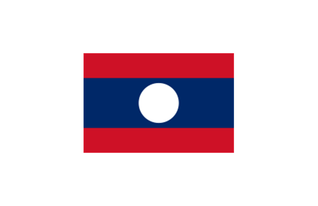
Laos
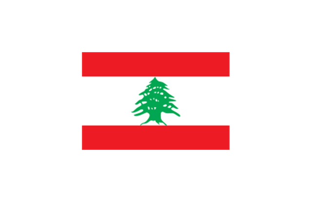
Lebanon
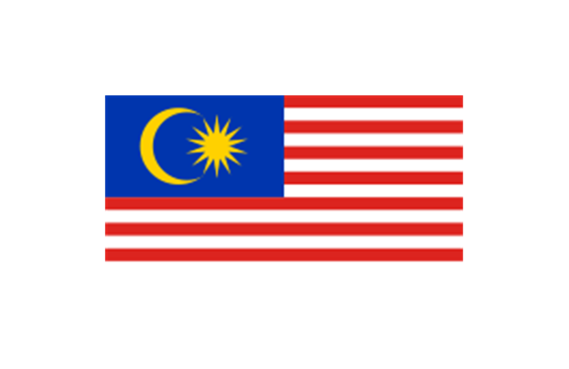
Malaysia
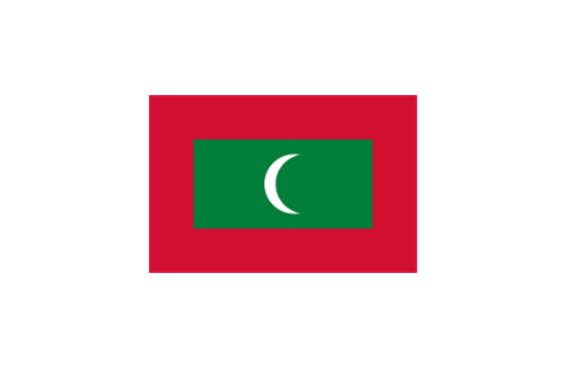
Maldives
Mongolia

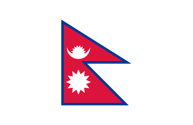
Nepal
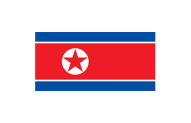
North Korea
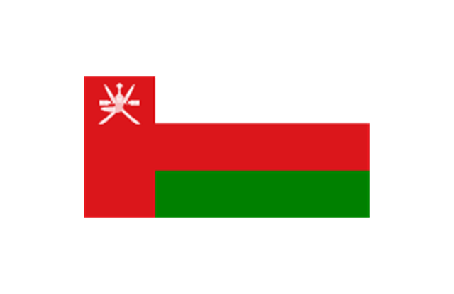
Oman
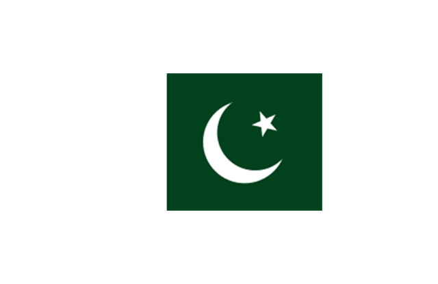
Pakistan
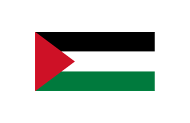
Palestine
Philippines
Qatar

Russia
Saudi Arabia
Singapore
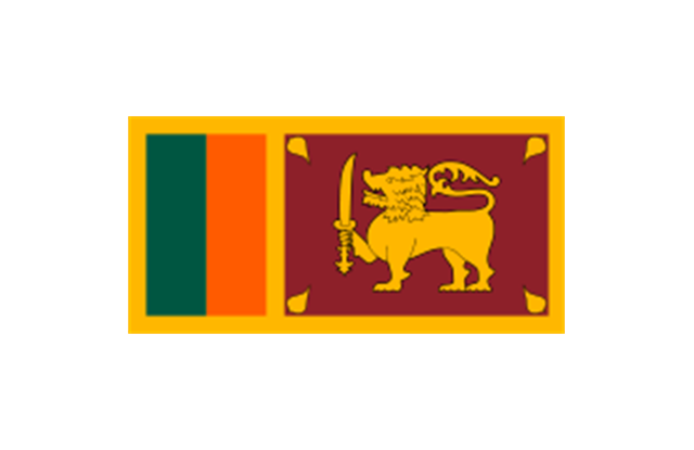
Sri Lanka
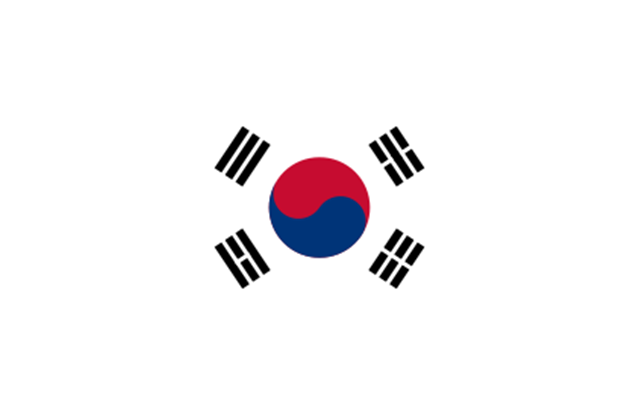
South Korea
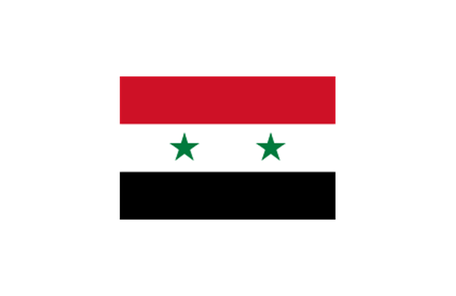
Syria
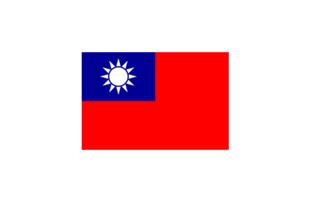
Taiwan
Tajikistan
Thailand
Turkey
Turkmenistan

United Arab Emirates

Uzbekistan

Vietnam
Yemen

Geo Map — Asia — Indonesia

Geo Map - Asia - Bhutan

Geo Map - Asia - Bangladesh

Geo Map - Asia - Syria

Geo Map - Asia - Sri Lanka

Geo Map - Africa - Madagascar

Geo Map — Asia

Geo Map - Africa - Mozambique

Geo Map - Africa - Morocco

Geo Map - Africa - Botswana

Geo Map - Africa - Kenya

Geo Map - Africa - Rwanda

Geo Map — South America Continent

Geo Map - Africa - Zambia

- Geo Map - Asia - India | Geo Map - Asia - Papua New Guinea | Flags ...
- Geo Map - Asia - Papua New Guinea | Asia flags - Stencils library ...
- Uae Flag Logo Png
- Gulf Country Flags Png
- Sri Lanka Images Png
- Pakistan India And Bangladesh Flag Map Png
- Uae Flag Icon Png
- Flags - Stencils library | Geo Map - Asia - Papua New Guinea | Geo ...
- Bangladesh Flag Logo Png
- Pakistan And Afghanistan Flags Png
- Png Kazakhstan
- Uae Philippines Flag Png
- Japan Png
- Indonesia Flag Png
- Png Flag India
- Uae Flag Image Png
- South Asia Map With Flag Png
- Geo Map - Africa - Tanzania | East Africa - Political map | Africa flags ...
- East Asia Flag Png
- Chinese Flag Icon Png