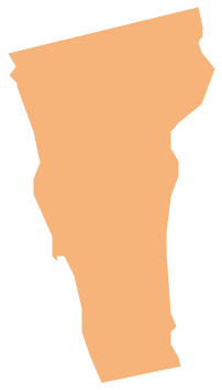
Geo Map - USA - Vermont
Geo Map — South America Continent

Geo Map — Asia

Geo Map — South America — Peru

Geo Map — Africa — Tanzania

Drawing Illustration
Drawing a Nature Scene

Nature Drawings - How to Draw
 Landscape & Garden
The Landscape and Gardens solution for ConceptDraw DIAGRAM is the ideal drawing tool when creating landscape plans. Any gardener wondering how to design a garden can find the most effective way with Landscape and Gardens solution.
Basic Diagramming
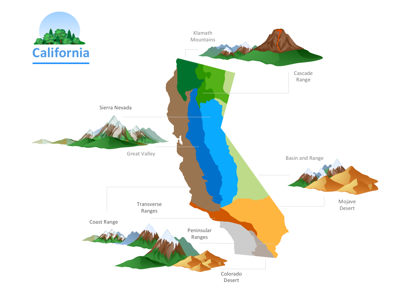
- Design elements - Geography | Landforms In Mountain Landscapes
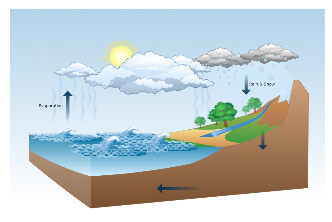
- Photos Of River Flowing From Mountain To Ocean
- Geo Map - Europe - Iceland | Geography - Vector stencils library ...
- Ski lift in the snow capped mountains | Winter Olympics pictograms ...
- Vector Small Mountains
- Volcano Drawing
- Winter Olympics pictograms - Vector stencils library | Buildings and ...
- Geo Map - United States of America Map | Continent Maps | Geo ...
- Design elements - Bushes and trees ( green fence) | Design ...
- Mountain Drawing