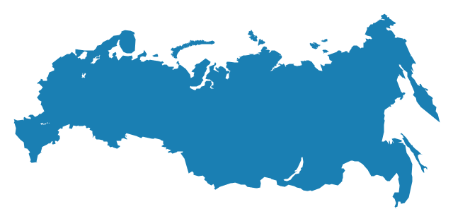
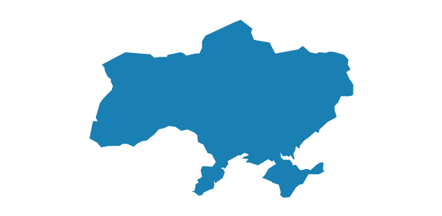
The vector stencils library "Europe" contains 39 country contours for drawing thematic maps of Europe.
Use it in your spatial infographics for visual representation of geospatial information, statistics and quantitative data in the ConceptDraw PRO diagramming and vector drawing software extended with the Spatial Infographics solution from the area "What is Infographics" of ConceptDraw Solution Park.
Use it in your spatial infographics for visual representation of geospatial information, statistics and quantitative data in the ConceptDraw PRO diagramming and vector drawing software extended with the Spatial Infographics solution from the area "What is Infographics" of ConceptDraw Solution Park.
Europe

Albania

Austria

Belarus

Belgium

Bosnia and Herzegovina

Bulgaria

Croatia

Czech Republic

Denmark

Estonia

Finland

France

Germany

Greece

Hungary

Iceland

Ireland

Italy

Latvia

Lithuania

Luxembourg

Macedonia

Moldova

Montenegro

Netherlands

Norway

Poland

Portugal

Romania

Russia
Serbia

Slovakia

Slovenia

Spain

Sweden

Switzerland

Ukraine
United Kingdom

The vector stencils library "Management maps" contains 44 map contours: G-20 state maps, EU state maps and world map.
Use it to create your management infogram in the ConceptDraw PRO diagramming and vector drawing software.
The state map contours example "Management maps - Vector stencils library" is included in the solution "Marketing infographics" from the "Business infographics" area of ConceptDraw Solution Park.
World map

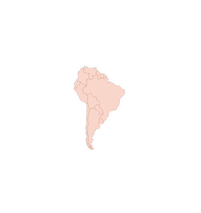
Argentina

Australia

Austria

Belgium

Brazil

Bulgaria

Canada

China

Croatia

Cyprus

Czech Republic

Denmark

Estonia

Finland

France

Germany

Greece

Hungary

Indonesia

India

Ireland

Italy

Latvia

Japan

Lithuania

Luxembourg

Malta

Mexico

Poland

Portugal

Romania

Russia

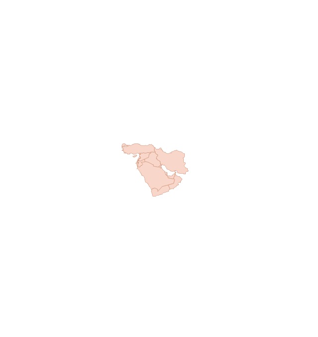
Saudi Arabia

Slovakia

Slovenia

South Africa

South Korea

Spain

Sweden

The Netherlands

Turkey

United Kingdom

United States

The vector stencils library "Global networks" contains 63 computer and telecommunication icon symbols for drawing the global vehicular network diagrams.
"Satellite Internet access is Internet access provided through communications satellites. Modern satellite Internet service is typically provided to users through geostationary satellites that can offer high data speeds, with newer satellites achieving downstream data speeds up to 15 Mbps. ...
Satellite Internet generally relies on three primary components: a satellite in geostationary orbit (sometimes referred to as a geosynchronous Earth orbit, or GEO), a number of ground stations known as gateways that relay Internet data to and from the satellite via radio waves (microwave), and a VSAT (very-small-aperture terminal) dish antenna with a transceiver, located at the subscriber's premises. Other components of a satellite Internet system include a modem at the user end which links the user's network with the transceiver, and a centralized network operations center (NOC) for monitoring the entire system. Working in concert with a broadband gateway, the satellite operates a Star network topology where all network communication passes through the network's hub processor, which is at the center of the star. With this configuration, the number of remote VSATs that can be connected to the hub is virtually limitless." [Satellite Internet access. Wikipedia]
The clip art example "Global networks - Vector stencils library" was created using the ConceptDraw PRO diagramming and vector drawing software extended with the Vehicular Networking solution from the Computer and Networks area of ConceptDraw Solution Park.
www.conceptdraw.com/ solution-park/ vehicular-networking
City

Office Building

House

Radio Tower

Satellite Dish

International Space Station

Space Shuttle

Satellite

Satellite

Rocket

Airplane

Airplane

Airplane (back view)
-global-networks---vector-stencils-library.png--diagram-flowchart-example.png)
Airplane (back view)
-global-networks---vector-stencils-library.png--diagram-flowchart-example.png)
Helicopter

Helicopter

Helicopter (back view)
-global-networks---vector-stencils-library.png--diagram-flowchart-example.png)
Helicopter (back view)
-global-networks---vector-stencils-library.png--diagram-flowchart-example.png)
Car

Trailer

Double Decker Bus

High-speed Train

Freight Train

Regular Ship

Regular Ship

Passenger Vessel

Passenger Vessel

Battleship

Battleship

Submarine

Submarine

Bulk Carrier

Multipurpose Ship

Passanger Ship

Offshore Oil Platform

Eastern Hemisphere

Western Hemisphere

Eastern Hemisphere (oval)
-global-networks---vector-stencils-library.png--diagram-flowchart-example.png)
Western Hemisphere (oval)
-global-networks---vector-stencils-library.png--diagram-flowchart-example.png)
Eastern Hemisphere (oval)
-global-networks---vector-stencils-library.png--diagram-flowchart-example.png)
Western Hemisphere (oval)
-global-networks---vector-stencils-library.png--diagram-flowchart-example.png)
Orbit

Orbit (oval)
-global-networks---vector-stencils-library.png--diagram-flowchart-example.png)
Earth

Moon

Mars

World Map

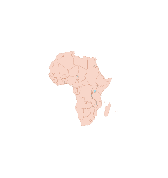
Africa
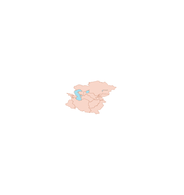
Central Asia
East Asia

Southern Asia

Middle East
Australia

Europe

Russia

South America
Central America

North America
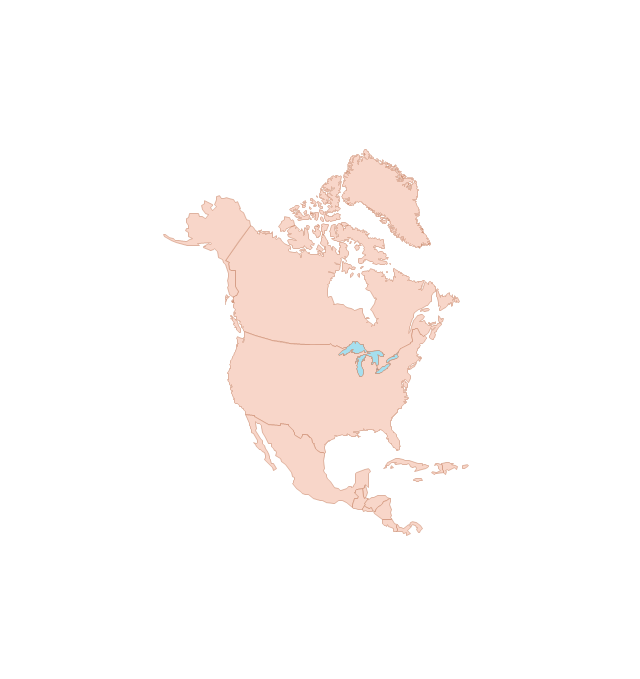
Canada

USA
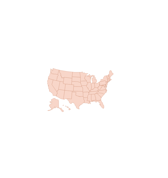
Geo Map — USA — Alaska

Geo Map - Asia - United Arab Emirates

Map of Continents

Geo Map - Asia - Philippines

Geo Map — Europe — Greece

Continents Map

- Design elements - Geography | Geo Map - Europe - Russia ...
- Africa In World Globe Png
- Computers and network isometric - Vector stencils library ...
- Design elements - Geography | Geo Map - Europe - Russia ...
- Map Of Slovenia Slovakia And Russia
- Design elements - Geography | Geography - Vector stencils library ...
- Hunting and fishing license sales flowchart | Education pictograms ...
- Design elements - Geography | Geography - Vector stencils library ...
- Aerospace and Transport | Telecommunication networks - Vector ...
- Education pictograms - Vector stencils library | Management maps ...
- Education pictograms - Vector stencils library | Education pictograms ...
- Geography - Vector stencils library | Telecommunication networks ...
- Computers and network isometric - Vector stencils library ...
- Telecommunication networks - Vector stencils library ...
- Png Images Of Mountains Vector
- Geo Map - Europe - Ukraine
- Aircraft - Vector stencils library | Travel and tourism pictograms ...
- European country flags - Vector stencils library | South America ...
- Education pictograms - Vector stencils library | Management ...
- Education pictograms - Vector stencils library | Education pictograms ...