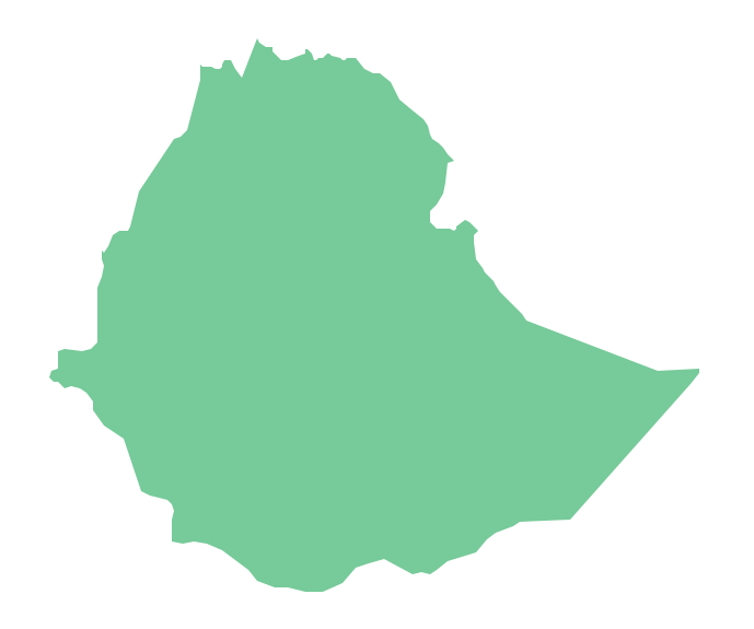
Geo Map - Africa - Ethiopia
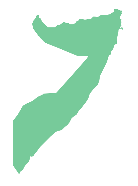
Geo Map - Africa - Somalia
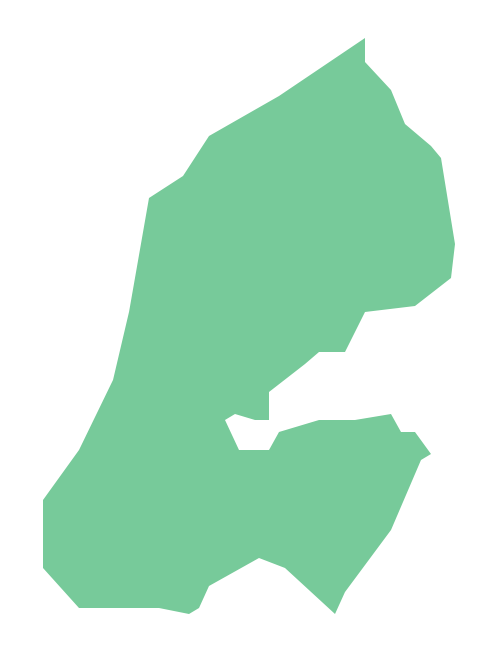
Geo Map - Africa - Djibouti
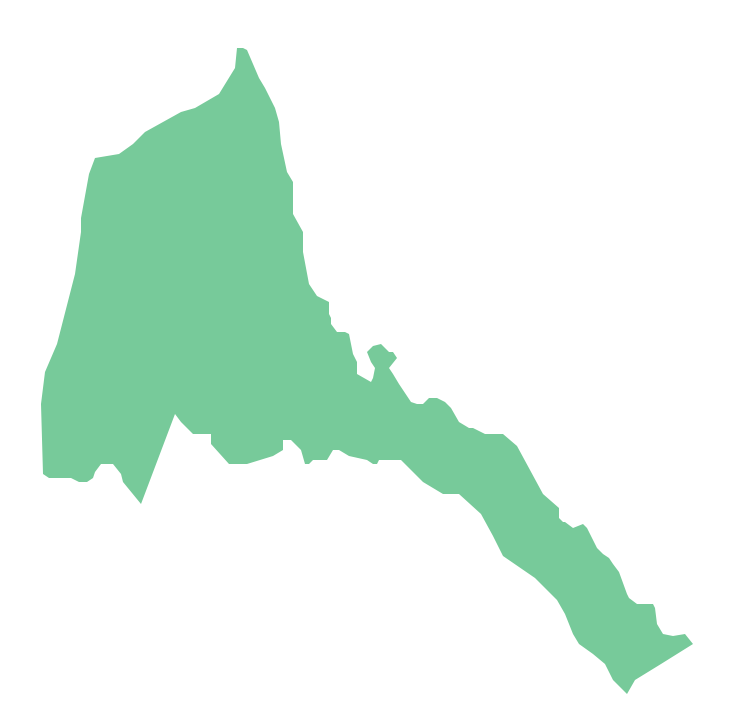
Geo Map - Africa - Eritrea
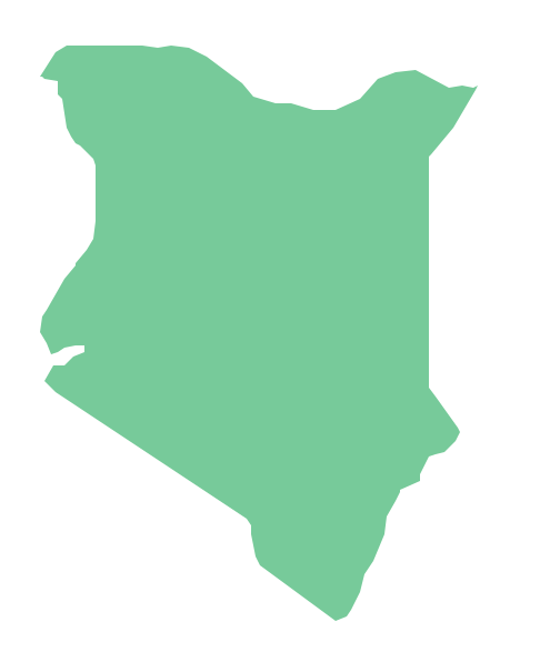
Geo Map - Africa - Kenya
Geo Map - Africa - Chad

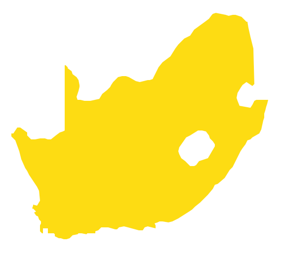
Geo Map - Africa - South Africa
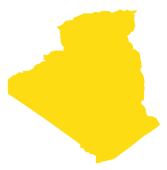
Geo Map - Africa - Algeria
Geo Map — Africa — Tanzania

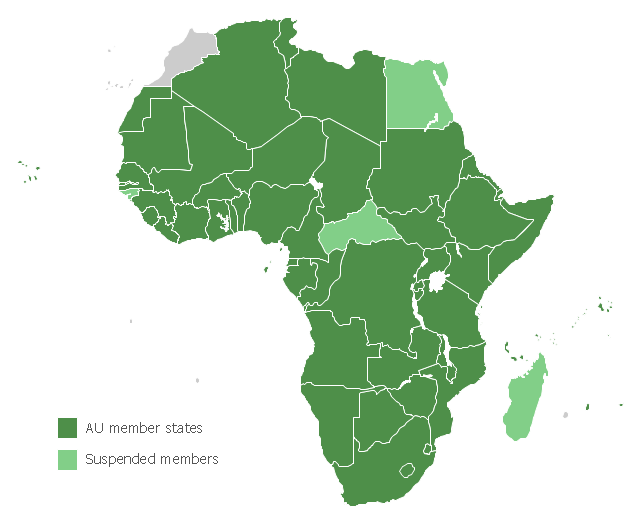
Map of Africa, with African Union member states in dark green and states with suspended membership in light green.
"The African Union (AU) is a union consisting of 54 African states. The only all-African state not in the AU is Morocco.
The most important decisions of the AU are made by the Assembly of the African Union, a semi-annual meeting of the heads of state and government of its member states. The AU's secretariat, the African Union Commission, is based in Addis Ababa, Ethiopia." [African Union. Wikipedia]
This political map example was redesigned from the Wikimedia Commons file: Map of the African Union with Suspended States.svg.
[commons.wikimedia.org/ wiki/ File:Map_ of_ the_ African_ Union_ with_ Suspended_ States.svg]
The example "Map of the African Union with Suspended States" was created using the ConceptDraw PRO diagramming and vector drawing software extended with the Continent Map solution from the Maps area of ConceptDraw Solution Park.
Political map - African Union
- How To Draw Ethiopia Map
- Map of the African Union with Suspended States | Continent Maps ...
- Geo Map - Africa - Ethiopia | African country flags - Vector stencils ...
- Geo Map - Africa - Somalia | Geo Map - Africa - Ethiopia | Geo Map ...
- Geo Map - Africa - Ethiopia
- Map of the African Union with Suspended States | European ...
- Africa Map Vector
- Geo Map - Africa - Nigeria | West Africa countries | Geo Map - Africa ...
- Map of the African Union with Suspended States | Design elements ...
- Map of the African Union with Suspended States | Geo Map - Africa ...