Geo Map — United States of America Map

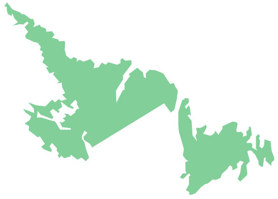
Geo Map - Canada - Newfoundland and Labrador
Geo Map of Americas

Geo Map - Europe - Austria

The vector stencils library "Football (Soccer)" contains 24 association football clipart images.
"Association football, commonly known as football or soccer, is a sport played between two teams of eleven players with a spherical ball. It is played by 250 million players in over 200 countries, making it the world's most popular sport. The game is played on a rectangular field with a goal at each end. The object of the game is to score by using any part of the body besides the arms and hands to get the football into the opposing goal.
The goalkeepers are the only players allowed to touch the ball with their hands or arms while it is in play and then only in their penalty area. Outfield players mostly use their feet to strike or pass the ball, but may use their head or torso to strike the ball instead. The team that scores the most goals by the end of the match wins. If the score is tied at the end of the game, either a draw is declared or the game goes into extra time and/ or a penalty shootout depending on the format of the competition. The Laws of the Game were originally codified in England by The Football Association in 1863. Association football is governed internationally by the International Federation of Association Football (FIFA) which organises a World Cup every four years." [Association football. Wikipedia]
The clip art example "Design elements - Football (Soccer)" was created using the ConceptDraw PRO diagramming and vector drawing software extended with the Soccer solution from the Sport area of ConceptDraw Solution Park.
www.conceptdraw.com/ solution-park/ sport-soccer
Association football clip art
.png--diagram-flowchart-example.png)
Continent Map
Geo Map - South America - Nicaragua

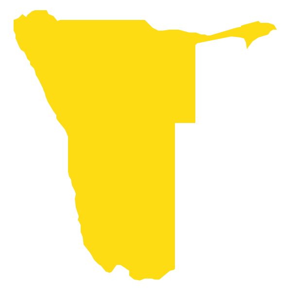
Geo Map - Africa - Namibia
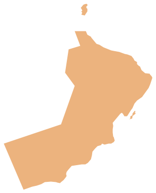
Geo Map - Asia - Oman
 Maps Area
Solutions from the Maps Area of ConceptDraw Solution Park collect templates, samples and libraries of vector stencils for drawing geographical, directional and transport maps.
- Arab Countries And Their Flags
- African Countries And Their Flag
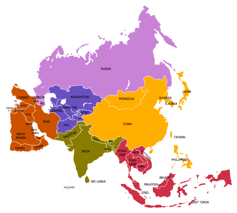
- Asian Countries And Their Flags
- Design elements - North and Central America country flags | Design ...
- Asian country flags - Vector stencils library | Design elements - Asian ...
- Flags Of All African Nations
- Spatial infographics Design Elements: Continental Map | Design ...
- Geo Map - Europe - Moldova | European country flags - Vector ...
- Geo Map - Europe - Norway | Design elements - State flags | Geo ...
- European country flags - Vector stencils library | European country ...
- Design elements - North and Central America country flags | North ...
- Asia flags - Stencils library | Design elements - Asian country flags ...
- Country Flags Pictures
- North and Central America country flags - Vector stencils library ...
- Geo Map - Europe - Estonia | European country flags - Vector ...
- Political map of Europe | Geo Map - Europe - Slovakia | Flags ...
- Flags Of Central America Countries
- South America flags - Stencils library | Geo Map - South America ...
- Asia flags - Stencils library | Design elements - Asia flags | Geo Map ...
- Basic Flowchart Symbols and Meaning | Geo Map - Africa - Morocco ...