Geo Map - South America - Argentina

 Continent Maps
Continent Maps solution extends ConceptDraw PRO software with templates, samples and libraries of vector stencils for drawing the thematic maps of continents, state maps of USA and Australia.
Geo Map - South America - Paraguay

Geo Map - South America - Chile

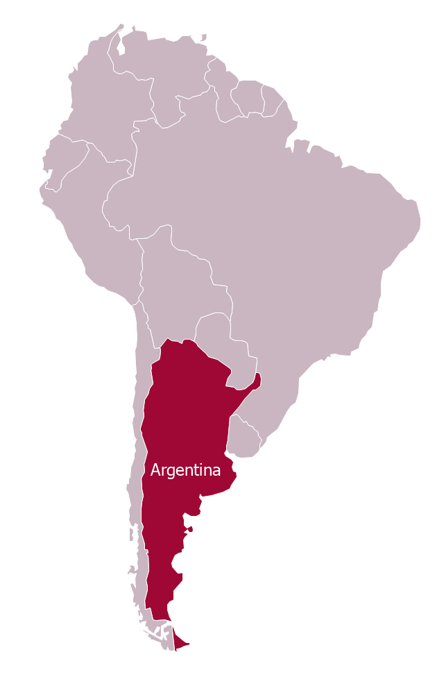
"Argentina..., officially the Argentine Republic..., is a federal republic located in southeastern South America. Covering most of the Southern Cone, it is bordered by Bolivia and Paraguay to the north, Brazil to the northeast, Uruguay and the Atlantic Ocean to the east, Chile to the west and the waters of the Drake Passage to the south." [Argentina. Wikipedia]
This Argentina in South America map was redesigned from Wikimedia Commons file: Argentina in South America (-mini map -rivers).svg.
[commons.wikimedia.org/ wiki/ File:Argentina_ in_ South_ America_ (-mini_ map_ -rivers).svg]
This file is licensed under the Creative Commons Attribution-Share Alike 3.0 Unported license. [creativecommons.org/ licenses/ by-sa/ 3.0/ deed.en]
The political map example "Argentina in South America" was drawn using the ConceptDraw PRO diagramming and vector drawing software extended with the design elements library South America. This example is included in the Continent Maps solution from the Maps area of ConceptDraw Solution Park.
Political map - Argentina in South America
Geo Map — South America Continent

Geo Map - South America - Bolivia

Geo Map - South America - Jamaica

Geo Map - South America - Uruguay

Geo Map - South America - Panama

- South America regions - Political map | Continent Maps | Geo Map ...
- Geo Map - South America - Argentina | Geo Map - World | Continent ...
- Thematic Map Of Argentina
- Geo Map - South America - Argentina | Argentina in South America ...
- Argentina in South America - Political map | Geo Map - South ...
- Geo Map - South America - Argentina
- Geo Map - South America - Argentina | Geo Map - South America ...
- Solid geometry - Vector stencils library | Geo Map - South America ...
- Argentina in South America - Political map
- Andean states - Political map | South America regions - Political map ...