Use this template to design your Australia political map, cartogram or thematic map, to visualize your spatial business information connected with geographic areas, locations or ways.
This Australia map template for the ConceptDraw PRO diagramming and vector drawing software is included in the Continent Maps solution from the Maps area of ConceptDraw Solution Park.
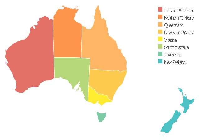
This Australia map template for the ConceptDraw PRO diagramming and vector drawing software is included in the Continent Maps solution from the Maps area of ConceptDraw Solution Park.
Australia thematic map template
 Maps
Maps
This solution extends ConceptDraw PRO v9.4 with the specific tools necessary to help you draw continental, directional, road, or transit maps, to represent international, business, or professional information visually.
 Continent Maps
Continent Maps solution extends ConceptDraw PRO software with templates, samples and libraries of vector stencils for drawing the thematic maps of continents, state maps of USA and Australia.
Geo Map - Canada - Northwest Territories

The vector stencils library Northwest Territories contains contours for ConceptDraw PRO diagramming and vector drawing software. This library is contained in the Continent Maps solution from Maps area of ConceptDraw Solution Park.
- Australia map template | Geo Map - Australia - New South Wales ...
- Australia map template | Geo Map - Australia - New Zealand | Geo ...
- Design elements - Thematic maps | Australia map template | Europe ...
- Continent Maps | Maps | Europe map template |
- Visualization Spatial Data Using Thematic Maps Combined with ...
- Geo Map - Australia - New Zealand - Conceptdraw.com
- Geo Map - Australia - New Zealand
- Political map of Europe | Europe - Thematic map template | Geo Map ...
- Map of Australia depicting time zones offsets from UTC by state ...
- Geo Map - Australia
- Europe - Thematic map template | European membership of the EU ...
- Continent Maps | Europe map template | Spatial infographics Design ...
- Continent Maps | Picture graph - Population growth by continent ...
- Continent Maps | Spatial infographics Design Elements: Location ...
- Spatial infographics Design Elements: Continental Map | Design ...
- Business Process Mapping How to Map a Work Process | How to ...
- Maps | Design elements - Thematic maps | Benefit Corporation ...
- Geo Map - Australia
- Basic Diagramming | Line Chart Examples | Geo Map - Australia ...
- Continent Maps | Spatial infographics Design Elements: Location ...