Southwest Asia region comprises countries: Turkey, Georgia, Azerbaijan, Armenia, Syria, Lebanon, Israel, Jordan, Iraq, Kuwait, Cyprus, Saudi Arabia, Bahrain, United Arab Emirates, Oman, Qatar, Yemen.
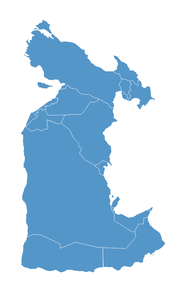
This political map sample was redesigned from the Wikimedia Commons file: Southwest-Asia-map.PNG.
[commons.wikimedia.org/ wiki/ File:Southwest-Asia-map.PNG]
The example "Southwest Asia - Political map" was created using the ConceptDraw PRO diagramming and vector drawing software extended with the Continent Maps solution from the Maps area of ConceptDraw Solution Park.
Political map - Southwest Asia
Geo Map - Asia

Use Geo Map Asia to draw thematic maps, geospatial infographics and vector illustrations for your business documents, presentations and websites.
Continents Map

 Continent Maps
Continent Maps solution extends ConceptDraw PRO software with templates, samples and libraries of vector stencils for drawing the thematic maps of continents, state maps of USA and Australia.
Continents and Oceans Map

7 Continents Map

- Geo Map - Asia - Papua New Guinea | Southwest Asia - Political ...
- Geo Map - Asia - Papua New Guinea | Southwest Asia - Political ...
- Geo Map - Asia - Papua New Guinea | South Asia - Political map ...
- Geo Map - Asia - Papua New Guinea | Geo Map - Asia - Philippines ...
- Geo Map - Asia - Iraq | Geo Map - Asia - Papua New Guinea ...
- Geo Map - Asia - Papua New Guinea | How To Do A Mind Map In ...
- South Asia - Political map
- Asia Political Map Countries
- Geo Map - Asia
- Central Asia - Political map
- Geo Map - Asia - Bangladesh | Asia - Vector stencils library | Asia ...
- Southwest Asia - Political map | Geo Map - Asia - Oman | Continent ...
- South Asia - Political map | Geo Map - Asia | North Asia - Political ...
- Continent Maps | Central Asia - Political map | Canada political map ...
- Geo Map - Asia - Syria
- Geo Map - Asia - Azerbaijan | Asia - Vector stencils library | Geo Map ...
- Map Of Asia Region
- South America regions - Political map | South Asia - Political map ...
- Geo Map - Asia - Qatar
- Geo Map - Asia - Kuwait | Asia - Vector stencils library | Asia - Vector ...