Use this Africa map template to design your political or thematic map.
This Africa map template for the ConceptDraw PRO diagramming and vector drawing software is included in the Continent Maps solution from the Maps area of ConceptDraw Solution Park.
This Africa map template for the ConceptDraw PRO diagramming and vector drawing software is included in the Continent Maps solution from the Maps area of ConceptDraw Solution Park.
Africa map

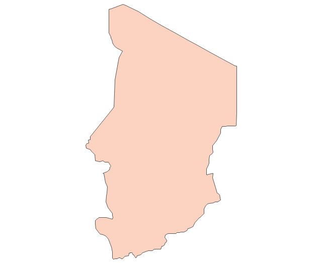
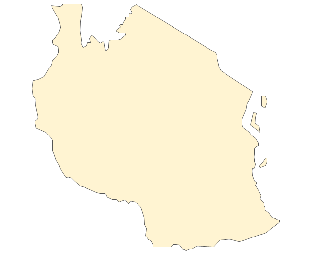
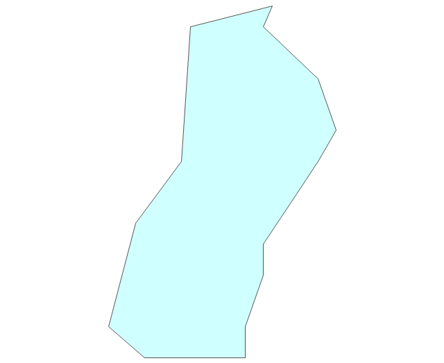
Geo Map - Africa - Chad

Spatial infographics Design Elements: Continental Map

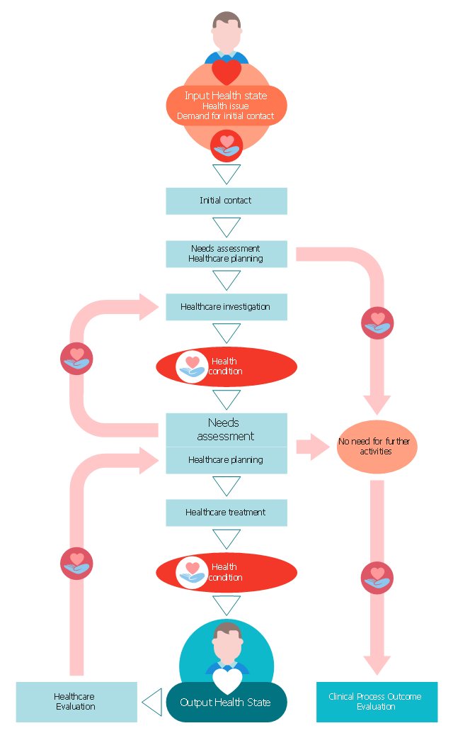
This medical flow chart sample shows how the concepts described in the draft international standard for the system of concepts to support continuity of care apply to the clinical process.
It was drawn on the base of Wikimedia Commons file: The main concepts of the clincal process within continuity of care.png. [commons.wikimedia.org/ wiki/ File:The_ main_ concepts_ of_ the_ clincal_ process_ within_ continuity_ of_ care.png]
That file is licensed under the Open Government Licence v1.0 (OGL). [nationalarchives.gov.uk/ doc/ open-government-licence/ version/ 1/ ]
"Clinical practice.
Medical availability and clinical practice varies across the world due to regional differences in culture and technology. Modern scientific medicine is highly developed in the Western world, while in developing countries such as parts of Africa or Asia, the population may rely more heavily on traditional medicine with limited evidence and efficacy and no required formal training for practitioners. Even in the developed world however, evidence-based medicine is not universally used in clinical practice" [Medicine. Wikipedia]
The medical flowchart example "The main concepts of the clincal process within continuity of care" was designed using ConceptDraw PRO software extended with Healthcare Workflow Diagrams solution from Business Processes area of ConceptDraw Solution Park.
Medical flowchart
Star Network Topology

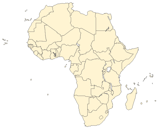
The vector stencils library "Africa" contains 62 country map contours for drawing thematic maps of Africa. Use it for visual representation of geospatial information, statistics and quantitative data.
"Africa is the world's second-largest and second-most-populous continent. ...
The continent includes Madagascar and various archipelagoes. It has 54 fully recognized sovereign states ("countries"), nine territories and two de facto independent states with limited or no recognition." [Africa. Wikipedia]
The map contours example "Africa - Vector stencils library" was created using the ConceptDraw PRO diagramming and vector drawing software extended with the Continent Maps solution from the Maps area of ConceptDraw Solution Park.
Africa
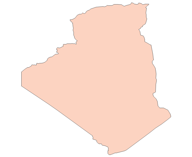
Algeria
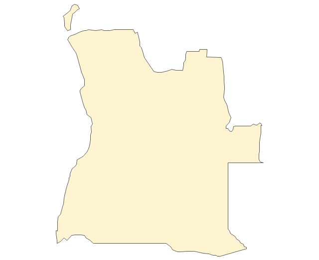
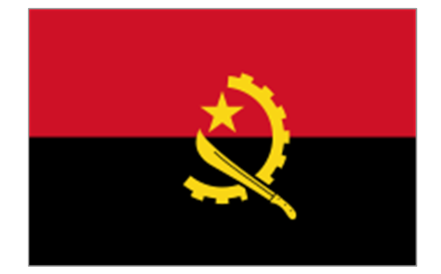
Angola
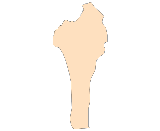
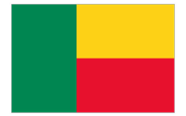
Benin
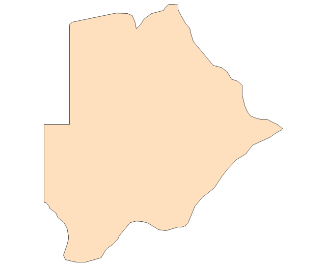
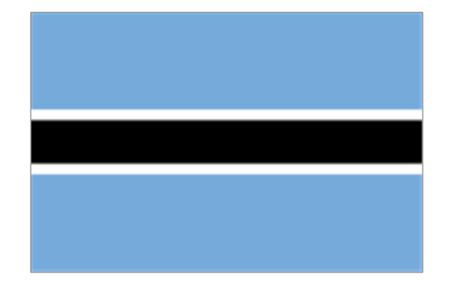
Botswana
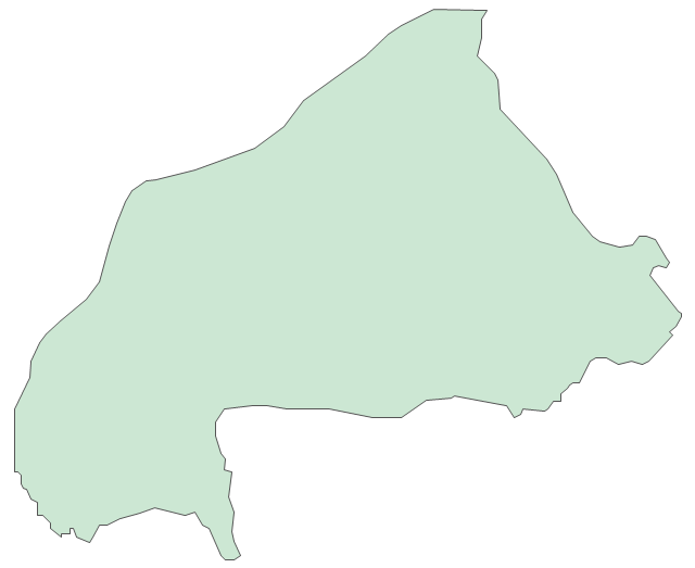
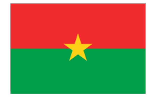
Burkina Faso
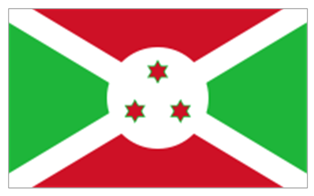
Burundi
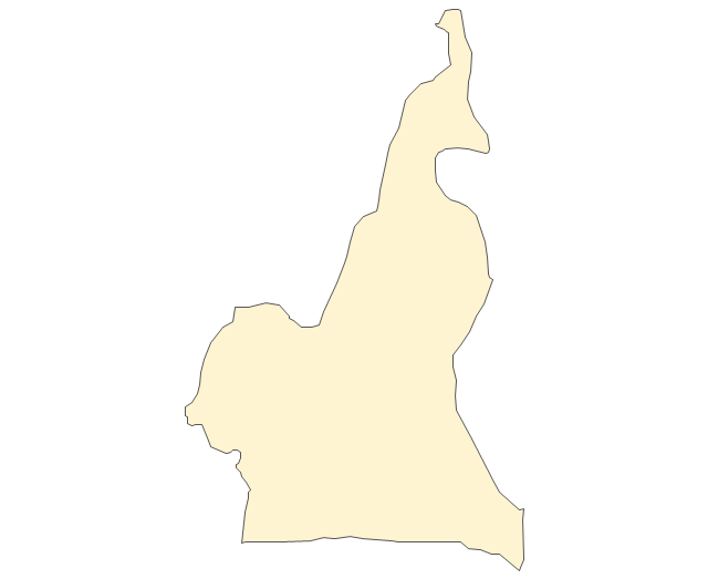
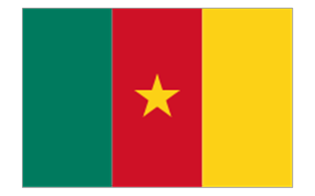
Cameroon
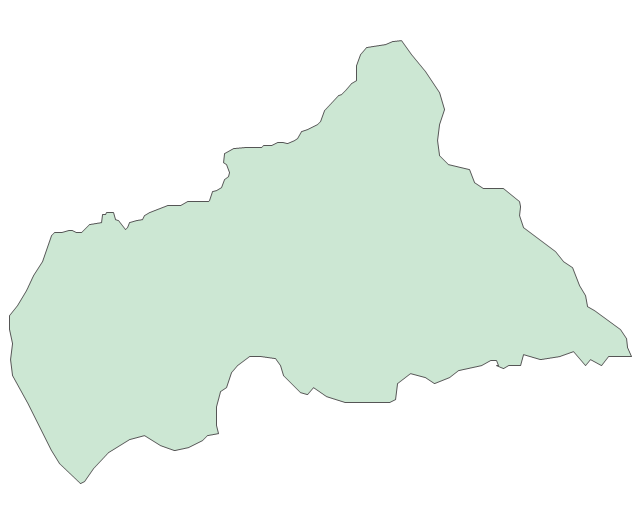
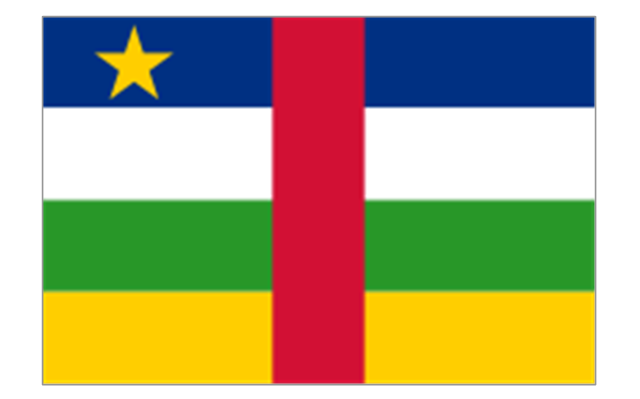
Central African Republic
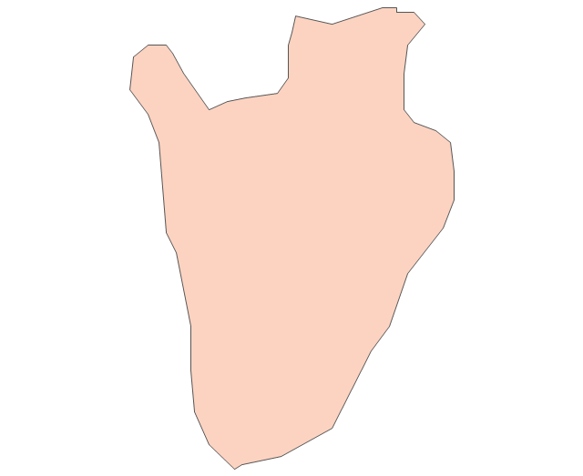
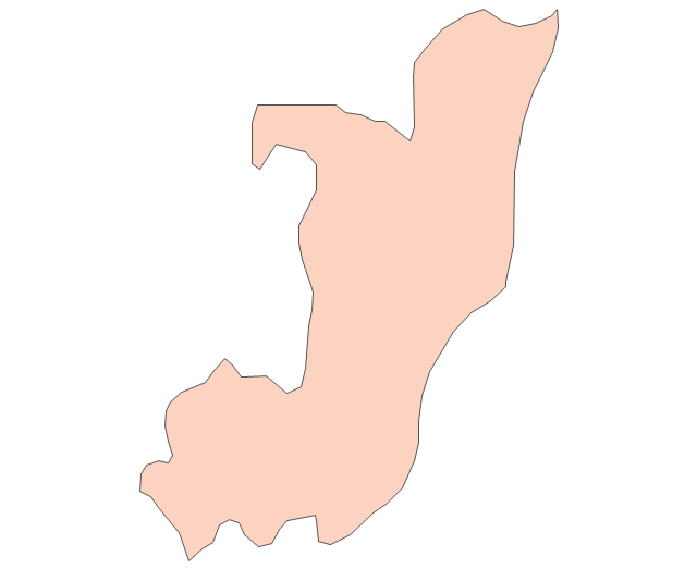
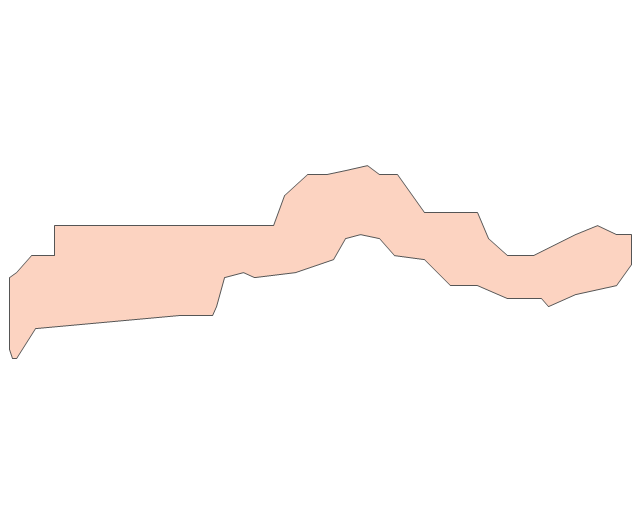
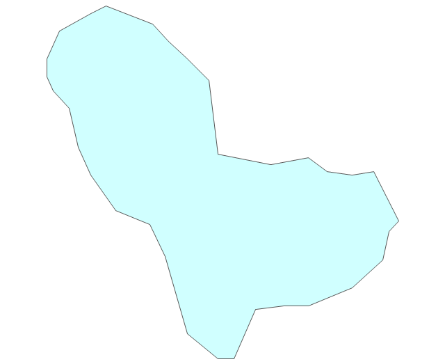
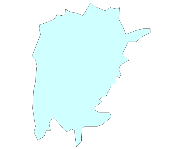
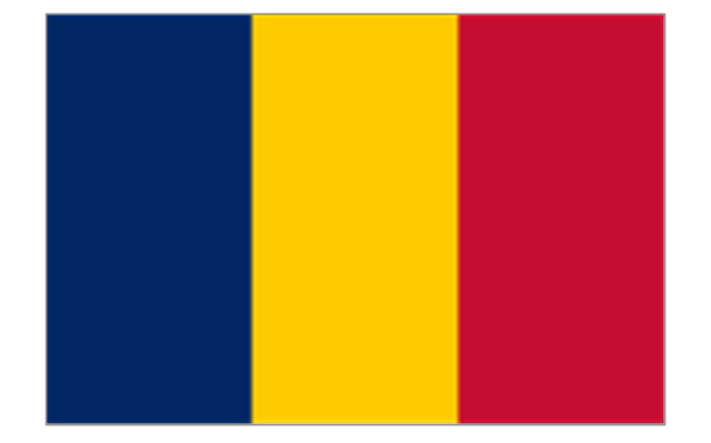
Chad
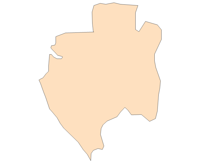
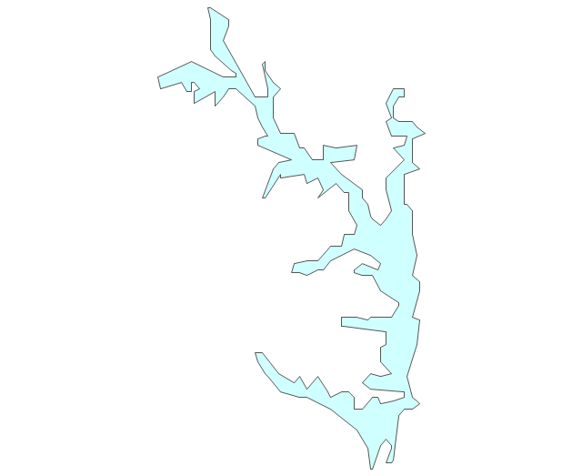
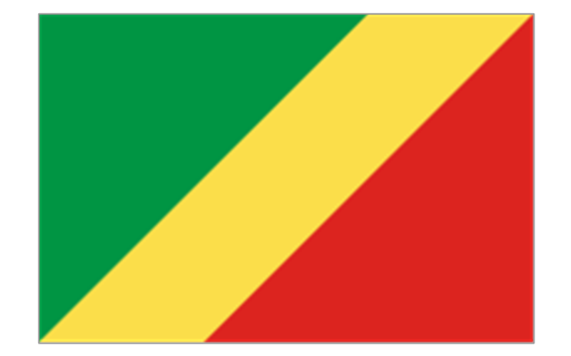
Republic of the Congo
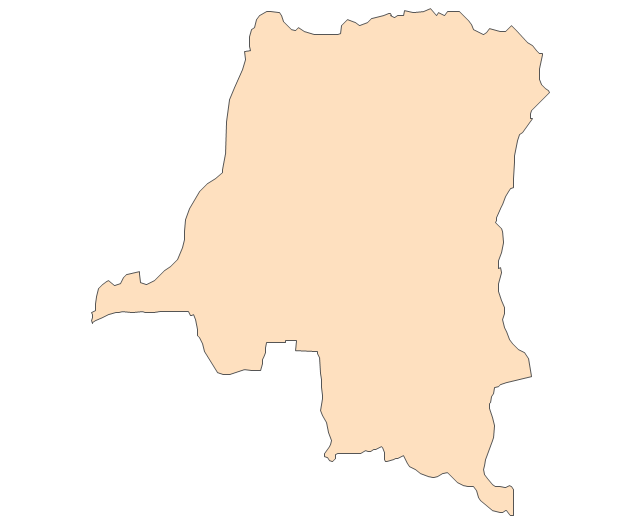
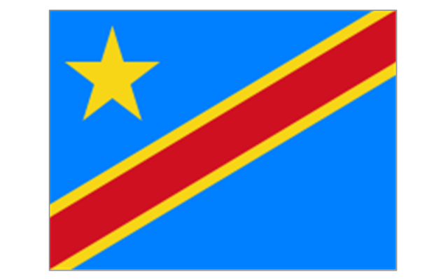
Democratic Republic of the Congo
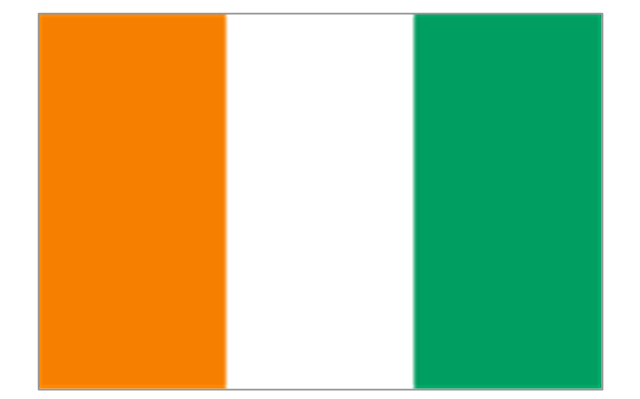
Ivory Coast (Cote d'Ivoire)
-africa---vector-stencils-library.png--diagram-flowchart-example.png)
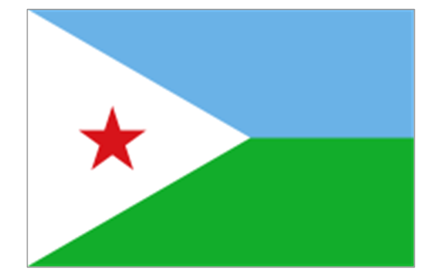
Djibouti
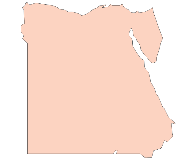
Egypt
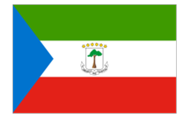
Equatorial Guinea
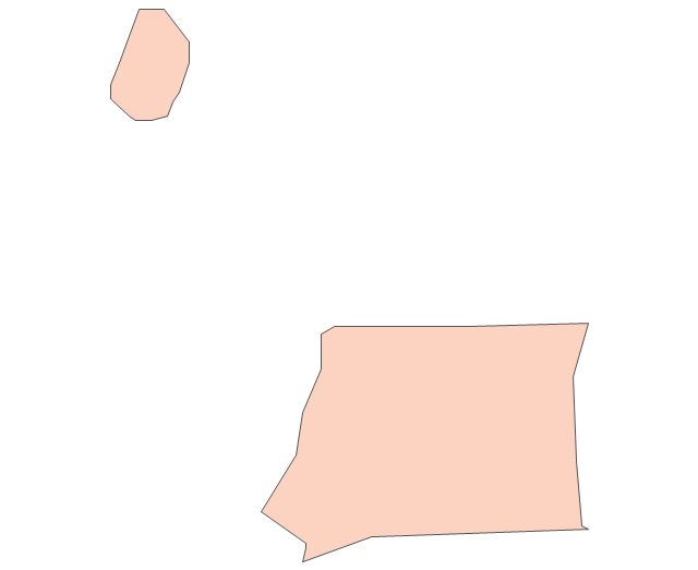
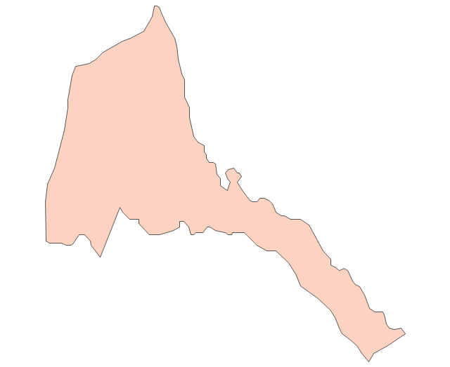
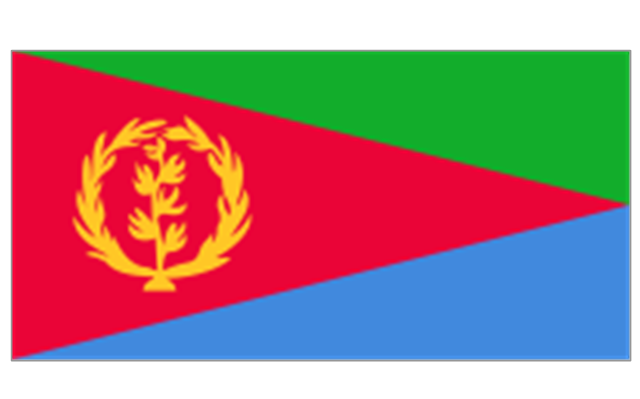
Eritrea
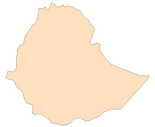
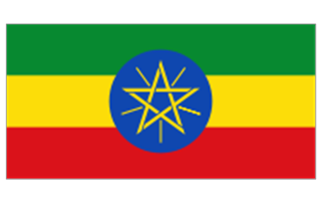
Ethiopia
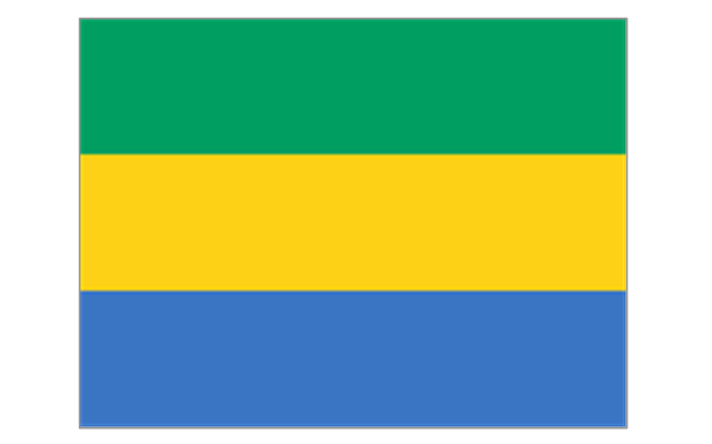
Gabon
Gambia
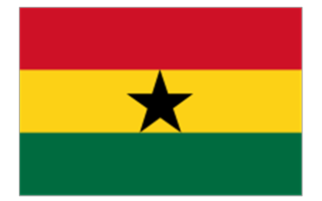
Ghana
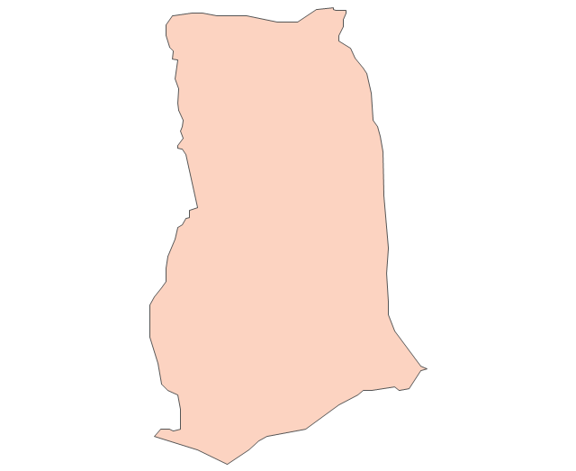
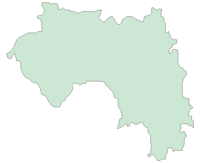
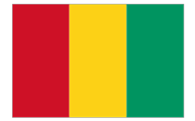
Guinea
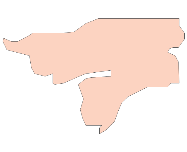
Guinea-Bissau
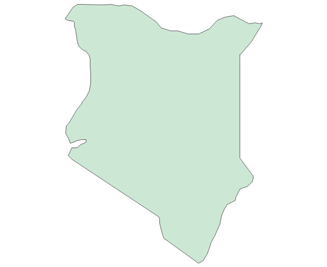
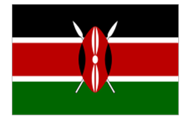
Kenya
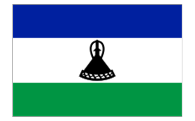
Lesotho
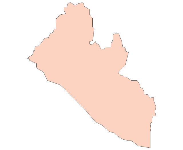
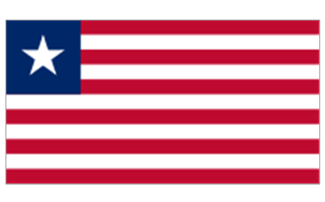
Liberia
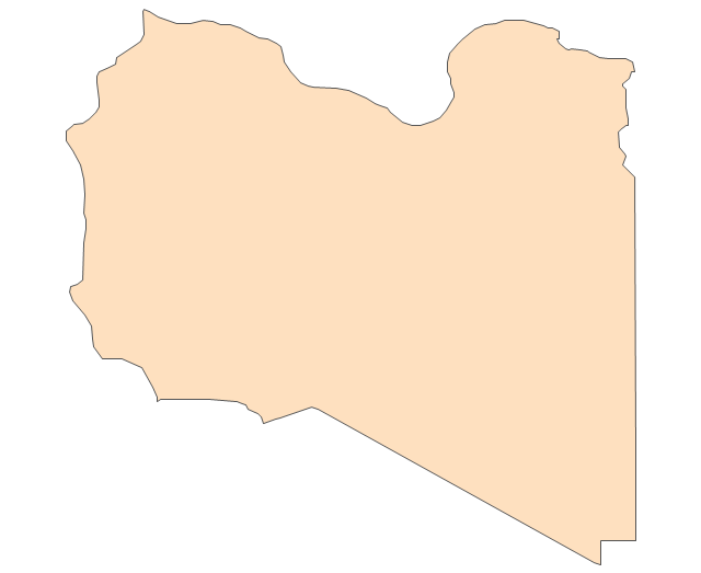
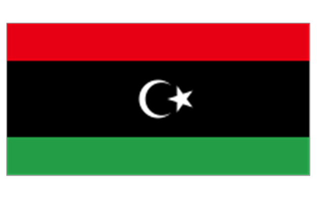
Libya
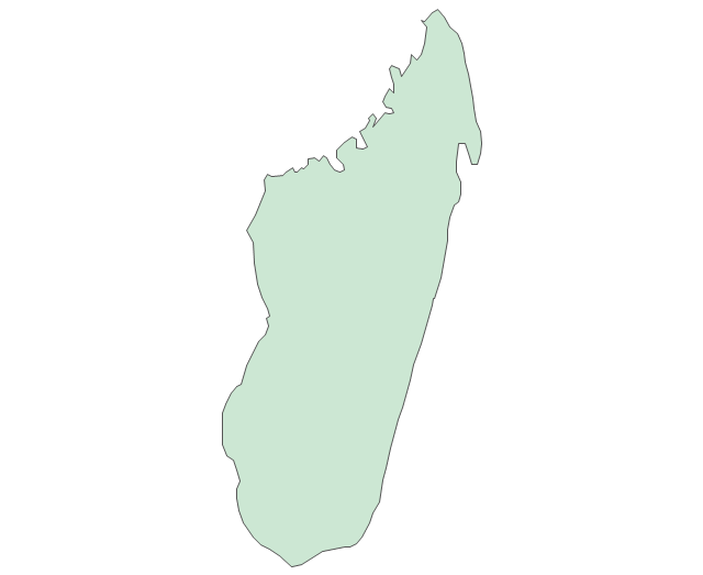
Madagascar
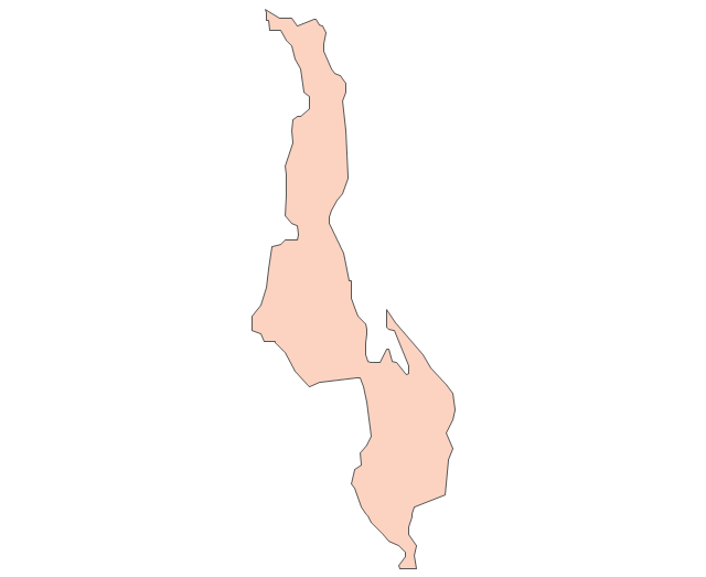
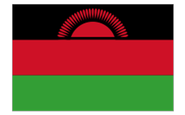
Malawi
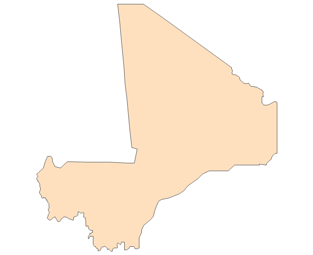
Mali
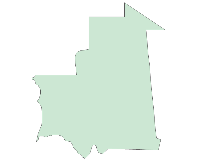
Mauritania
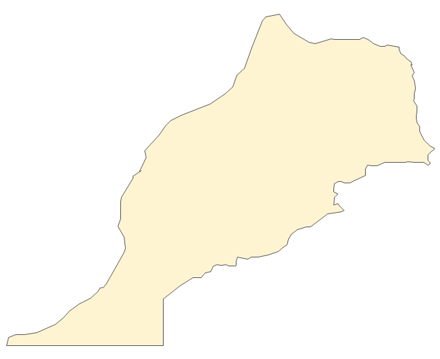
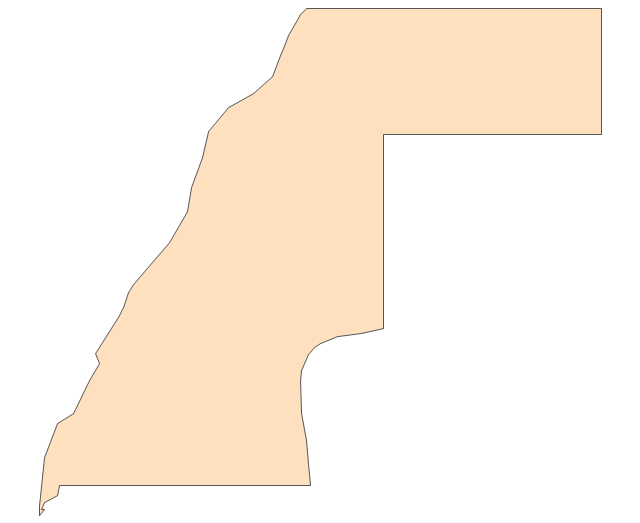
Morocco
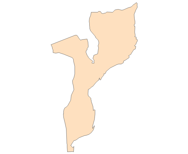
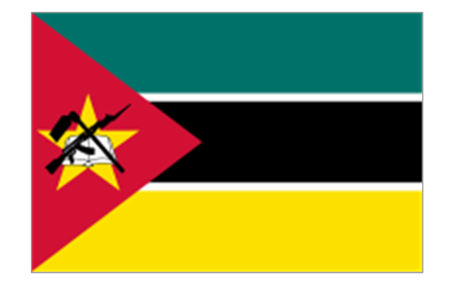
Mozambique
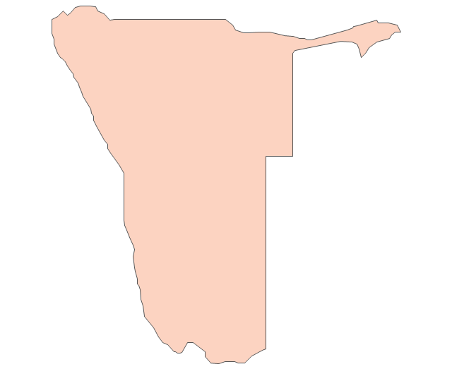
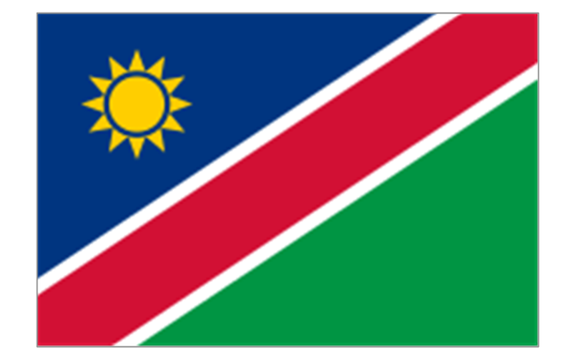
Namibia
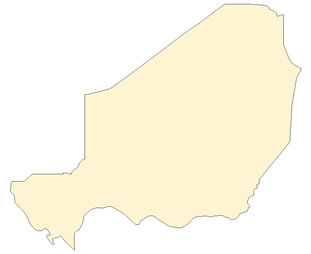
Niger
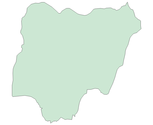
Nigeria
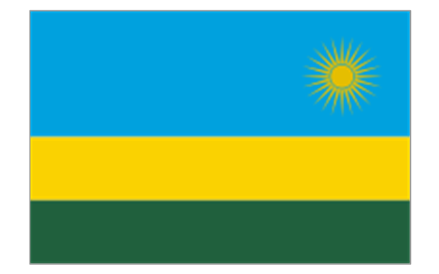
Rwanda
Senegal

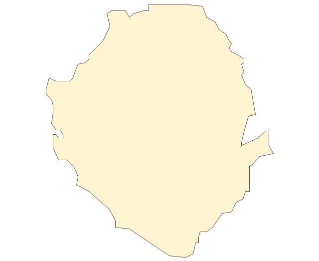
Sierra Leone
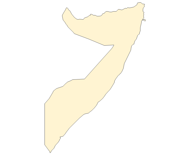
Somalia
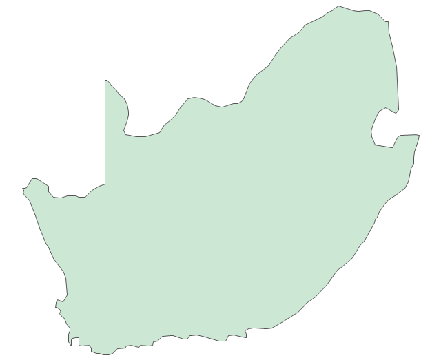
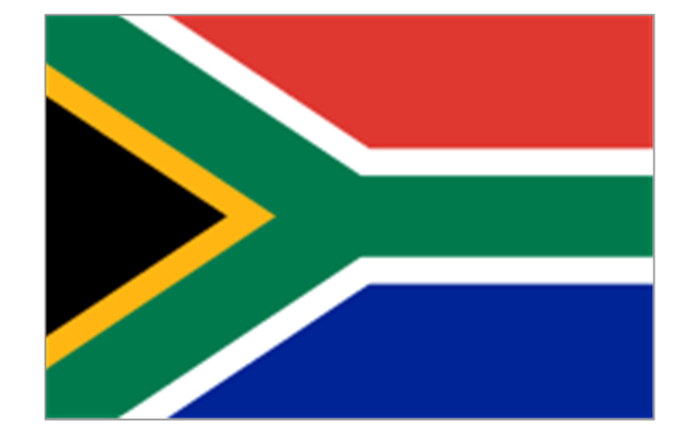
South Africa
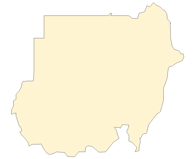
Sudan
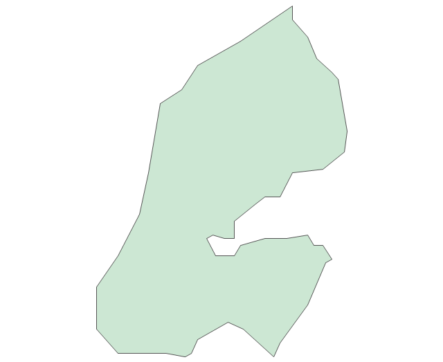
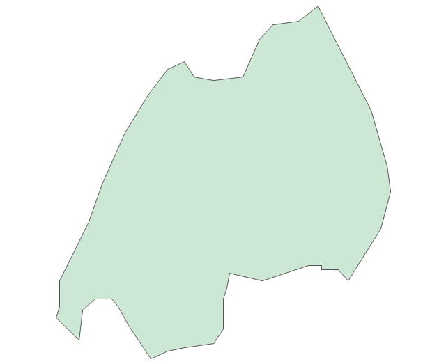
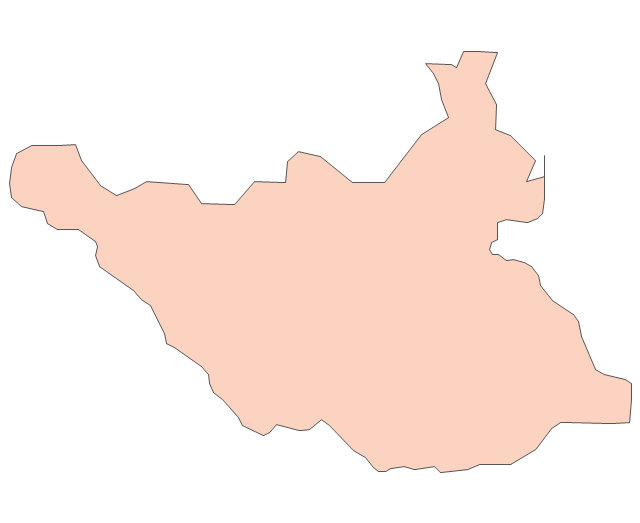
South Sudan
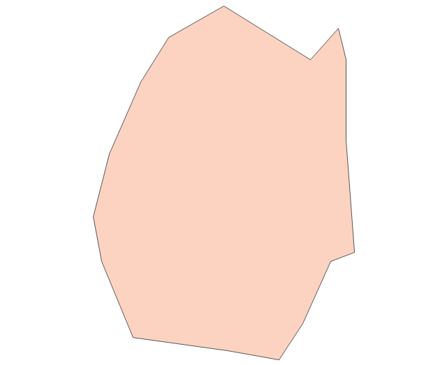
Swaziland
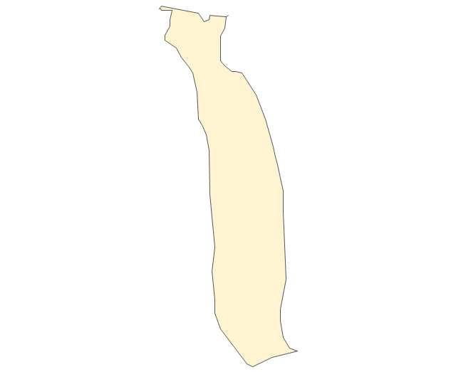
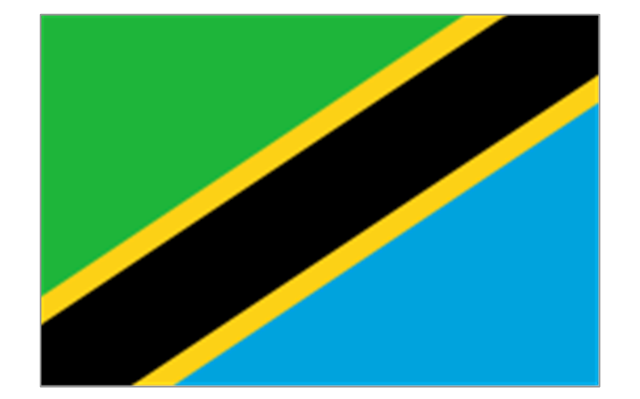
Tanzania
Togo
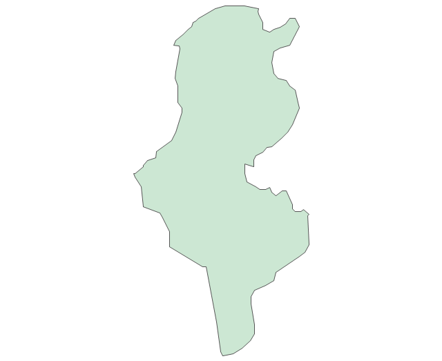
Tunisia
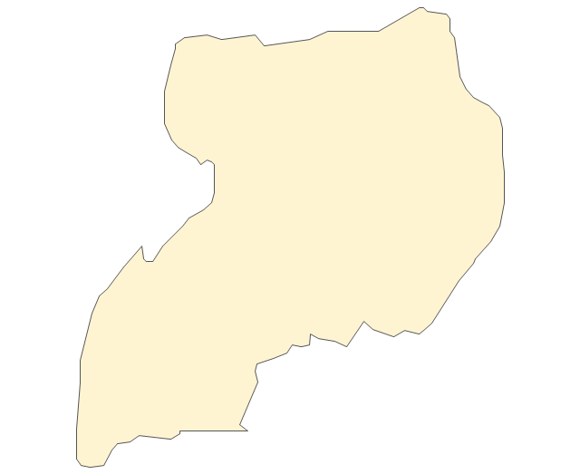
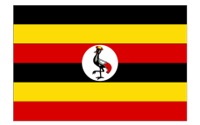
Uganda
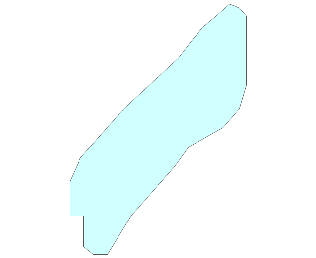
Western Sahara
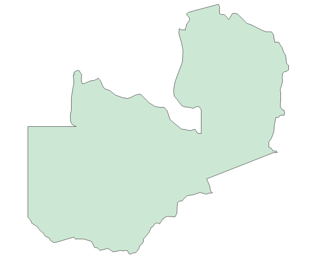
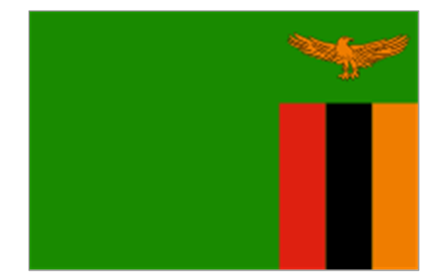
Zambia
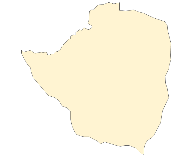
Zimbabwe
Lake Albert
Lake Chad
Lake Kariba
Lake Kivu
Lake Malawi
Lake Mweru
Lake Nasser
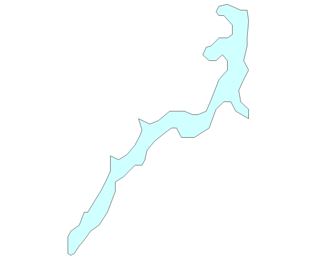
Lake Tanganyika
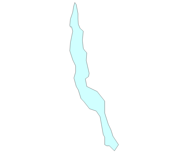
Lake Turkana
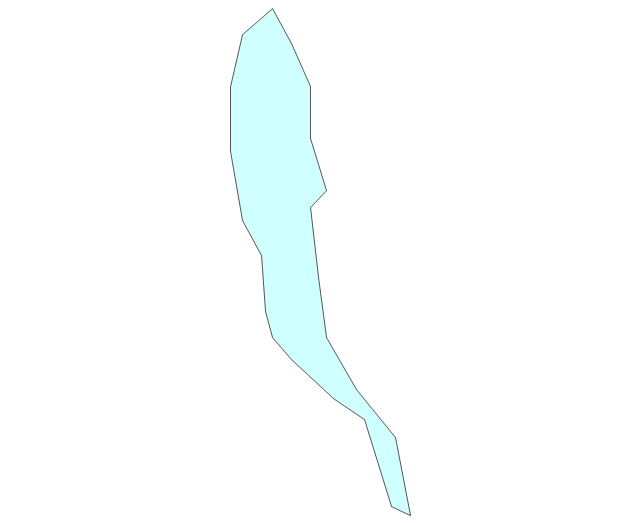
Lake Victoria
Lake Volta
Map of Continents

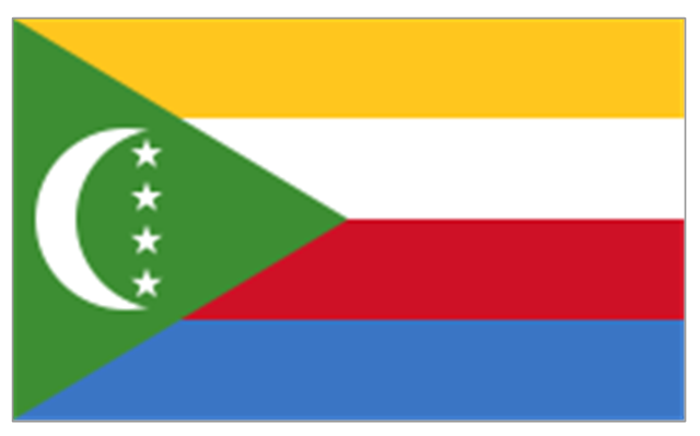
The stencils library "Africa flags" contains 61 clipart images of Africa state flags.
"These are the various flags of Africa.
1. Supernational and international flags:
Flag of the African Union, Flag of the East African Community, Flag of the OPEC, Flag of the Arab League, Flag of the Organisation of the Islamic Conference, Pan-African flag (not in official use).
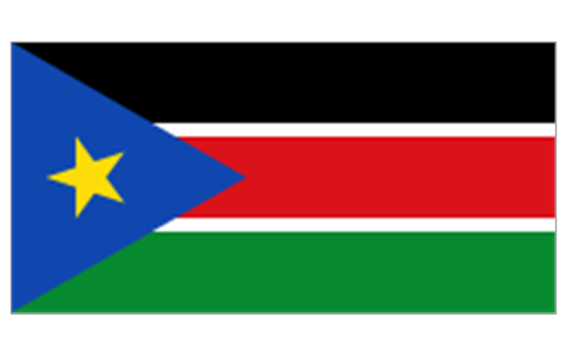
2. African Great Lakes: Flag of Burundi, Flag of Kenya, Flag of Rwanda, Flag of South Sudan, Flag of Tanzania, Flag of Uganda.
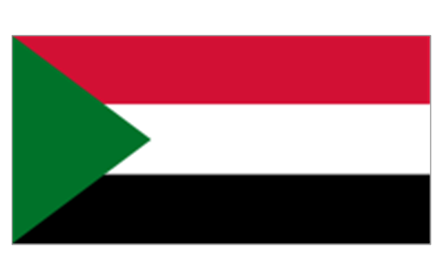
3. Central Africa: Flag of Angola, Flag of Cameroon, Flag of the Central African Republic, Flag of Chad, Flag of the Democratic Republic of the Congo, Flag of the Republic of the Congo, Flag of Equatorial Guinea, Flag of Gabon, Flag of Sao Tome and Principe, Flag of Sudan.
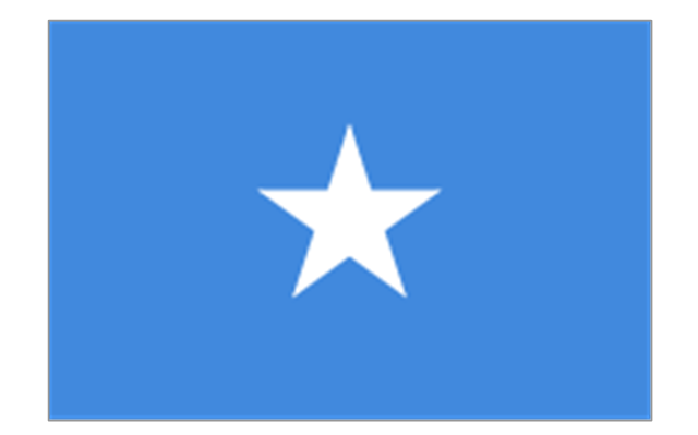
4. Horn of Africa: Flag of Djibouti, Flag of Eritrea, Flag of Ethiopia, Flag of Somalia.
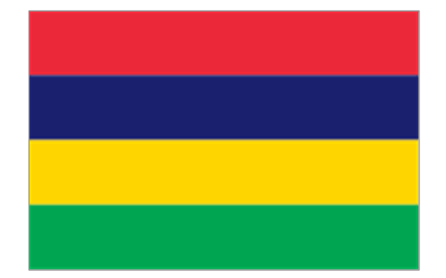
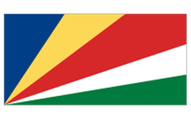
5. Indian Ocean islands: Flag of Comoros, Flag of Madagascar, Flag of Mauritius, Unofficial Flag of Mayotte (France), Flag of Reunion (France), Flag of the Seychelles.
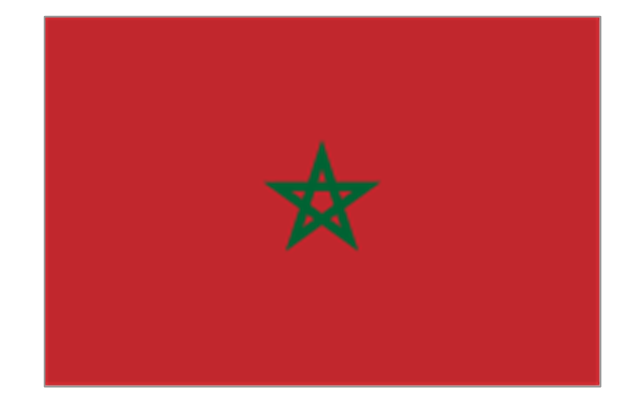
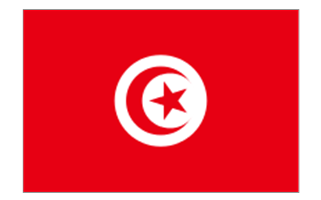
6. North Africa: Flag of Algeria, Flag of the Canary Islands (Spain), Flag of Ceuta (Spain), Flag of Egypt, Flag of Libya, Flag of Madeira (Portugal), Flag of Melilla (Spain), Flag of Morocco, Flag of Tunisia, Flag of the Sahrawi Arab Democratic Republic.
7. Southern Africa: Flag of Botswana, Flag of Lesotho, Flag of Malawi, Flag of Mozambique, Flag of Namibia, Flag of South Africa, Flag of Swaziland, Flag of Zambia, Flag of Zanzibar (Tanzania), Flag of Zimbabwe.
8. West Africa: Flag of Ascension Island (United Kingdom), Flag of Benin, Flag of Burkina Faso, Flag of Cape Verde, Flag of The Gambia, Flag of Ghana, Flag of Guinea, Flag of Guinea-Bissau, Flag of Ivory Coast, Flag of Liberia, Flag of Mali, Flag of Mauritania, Flag of Niger, Flag of Nigeria, Flag of Saint Helena (United Kingdom), Flag of Senegal, Flag of Sierra Leone, Flag of Togo, Flag of Tristan da Cunha (United Kingdom)." [Flags of Africa. Wikipedia]
The clip art example "Africa flags - Stencils library" was created using the ConceptDraw PRO diagramming and vector drawing software extended with the Continent Maps solution from the Maps area of ConceptDraw Solution Park.
"These are the various flags of Africa.
1. Supernational and international flags:
Flag of the African Union, Flag of the East African Community, Flag of the OPEC, Flag of the Arab League, Flag of the Organisation of the Islamic Conference, Pan-African flag (not in official use).
2. African Great Lakes: Flag of Burundi, Flag of Kenya, Flag of Rwanda, Flag of South Sudan, Flag of Tanzania, Flag of Uganda.
3. Central Africa: Flag of Angola, Flag of Cameroon, Flag of the Central African Republic, Flag of Chad, Flag of the Democratic Republic of the Congo, Flag of the Republic of the Congo, Flag of Equatorial Guinea, Flag of Gabon, Flag of Sao Tome and Principe, Flag of Sudan.
4. Horn of Africa: Flag of Djibouti, Flag of Eritrea, Flag of Ethiopia, Flag of Somalia.
5. Indian Ocean islands: Flag of Comoros, Flag of Madagascar, Flag of Mauritius, Unofficial Flag of Mayotte (France), Flag of Reunion (France), Flag of the Seychelles.
6. North Africa: Flag of Algeria, Flag of the Canary Islands (Spain), Flag of Ceuta (Spain), Flag of Egypt, Flag of Libya, Flag of Madeira (Portugal), Flag of Melilla (Spain), Flag of Morocco, Flag of Tunisia, Flag of the Sahrawi Arab Democratic Republic.
7. Southern Africa: Flag of Botswana, Flag of Lesotho, Flag of Malawi, Flag of Mozambique, Flag of Namibia, Flag of South Africa, Flag of Swaziland, Flag of Zambia, Flag of Zanzibar (Tanzania), Flag of Zimbabwe.
8. West Africa: Flag of Ascension Island (United Kingdom), Flag of Benin, Flag of Burkina Faso, Flag of Cape Verde, Flag of The Gambia, Flag of Ghana, Flag of Guinea, Flag of Guinea-Bissau, Flag of Ivory Coast, Flag of Liberia, Flag of Mali, Flag of Mauritania, Flag of Niger, Flag of Nigeria, Flag of Saint Helena (United Kingdom), Flag of Senegal, Flag of Sierra Leone, Flag of Togo, Flag of Tristan da Cunha (United Kingdom)." [Flags of Africa. Wikipedia]
The clip art example "Africa flags - Stencils library" was created using the ConceptDraw PRO diagramming and vector drawing software extended with the Continent Maps solution from the Maps area of ConceptDraw Solution Park.
Burundi
Comoros
Djibouti
Eritrea
Ethiopia
Kenya
Madagascar
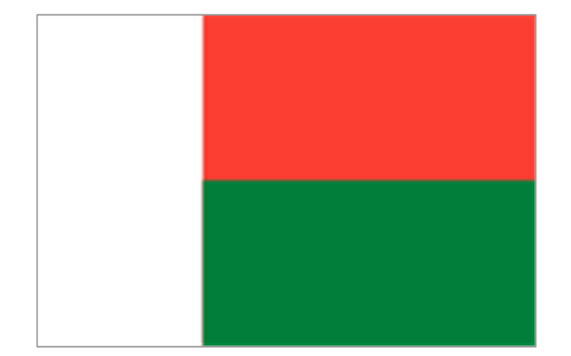
Malawi
Mauritius
Mayotte (France)
-africa-flags---stencils-library.png--diagram-flowchart-example.png)
Mozambique
Réunion (France)
-africa-flags---stencils-library.png--diagram-flowchart-example.png)
Rwanda
Seychelles
Somalia
South Sudan
Tanzania
Uganda
Zambia
Angola
Cameroon
Central African Republic
Chad
Republic of the Congo
Democratic Republic of the Congo
Equatorial Guinea
Gabon
Botswana
Lesotho
Namibia
South Africa
Benin
Burkina Faso
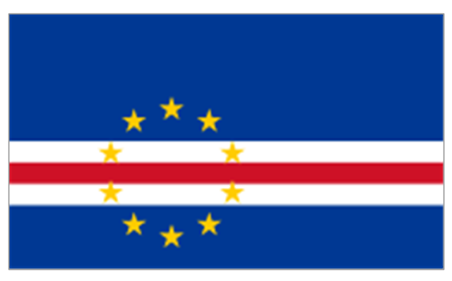
Cape Verde
Côte d'Ivoire
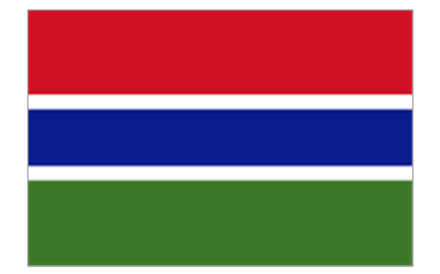
Gambia
Ghana
Guinea
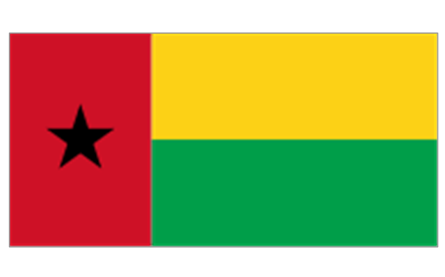
Guinea-Bissau
Liberia
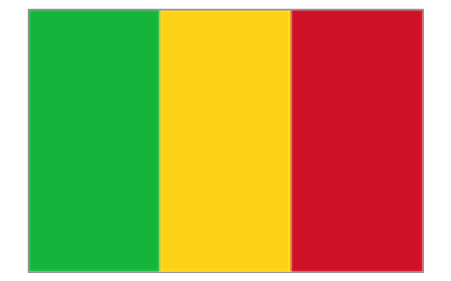
Mali
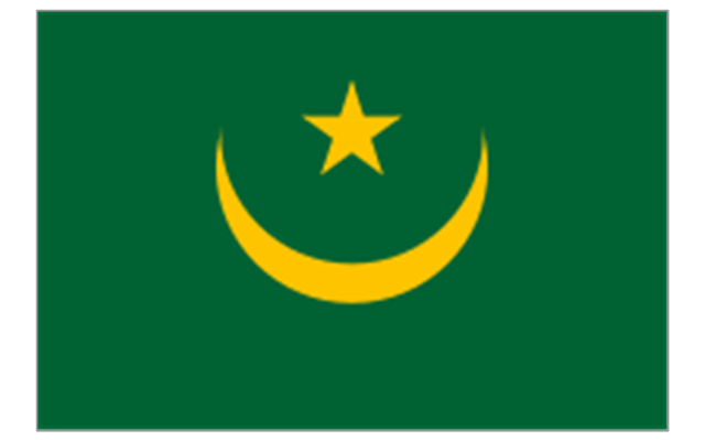
Mauritania
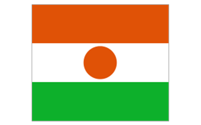
Niger
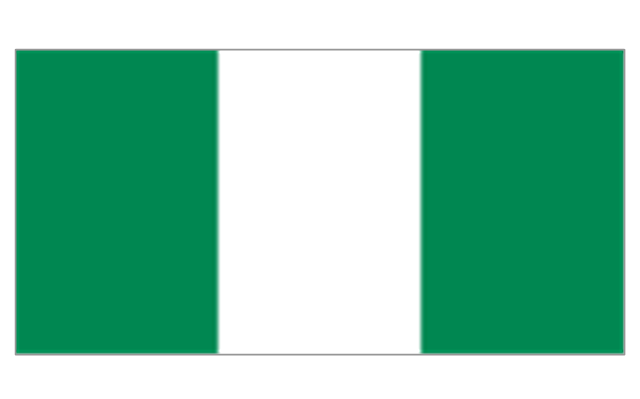
Nigeria
Saint Helena (United Kingdom)
-africa-flags---stencils-library.png--diagram-flowchart-example.png)
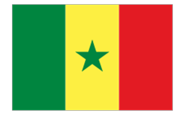
Senegal
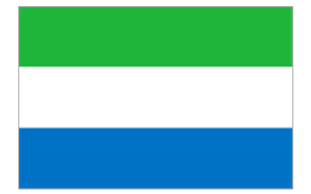
Sierra Leone
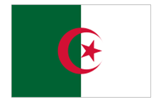
Algeria
Canary Islands (Spain)
-africa-flags---stencils-library.png--diagram-flowchart-example.png)
Ceuta (Spain)
-africa-flags---stencils-library.png--diagram-flowchart-example.png)
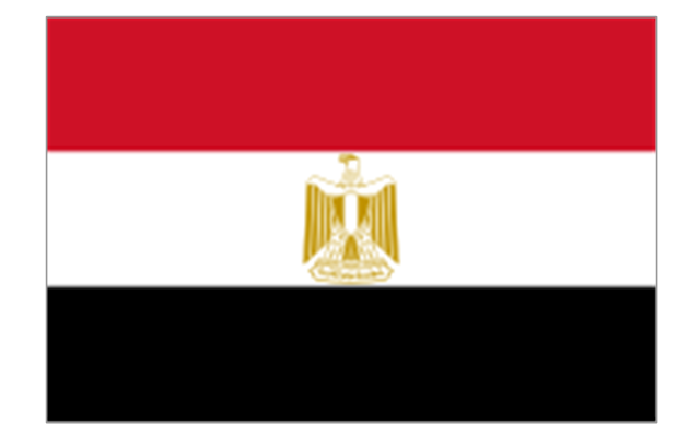
Egypt
Libya
Madeira (Portugal)
-africa-flags---stencils-library.png--diagram-flowchart-example.png)
Melilla (Spain)
-africa-flags---stencils-library.png--diagram-flowchart-example.png)
Morocco
Sudan
Tunisia
Spatial infographics Design Elements: Location Map

Geo Map - World

- Africa map with countries, main cities and capitals - Template ...
- Africa map with countries, main cities and capitals - Template
- Africa map with countries, main cities and capitals - Template | Africa ...
- Continents Map | Africa map with countries, main cities and capitals ...
- Africa map with countries, main cities and capitals - Template | Geo ...
- Africa map with countries, main cities and capitals - Template | Maps ...
- Geo Map - Africa - South Sudan
- Geo Map - Europe | Maghreb countries - Political map | Geo Map ...
- Geo Map - Africa
- Africa Map Free Vector