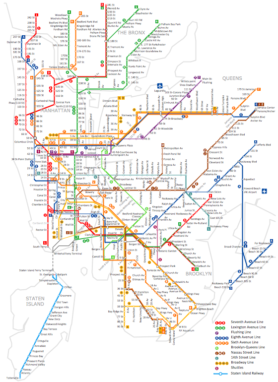
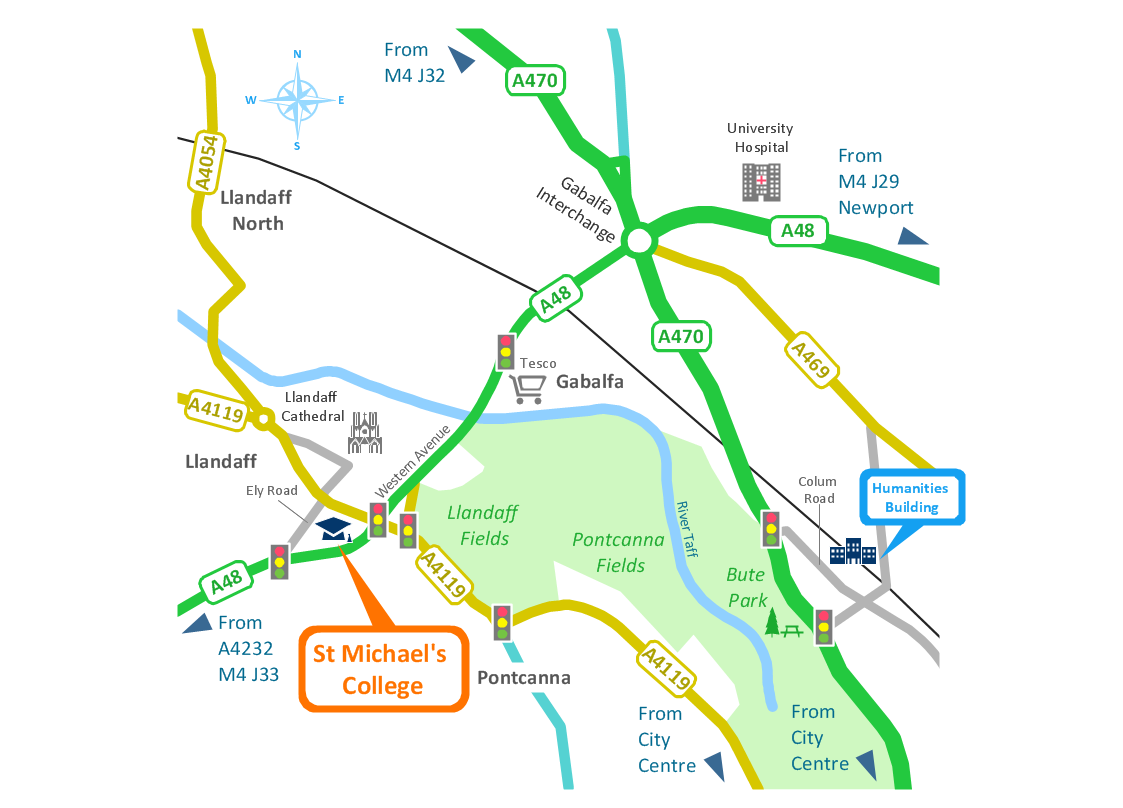
Subway Map
ConceptDraw DIAGRAM diagramming and vector drawing software is the best choice for making professional looking Subway Map. ConceptDraw DIAGRAM provides Metro Map Solution from the Maps Area of ConceptDraw Solution Park.
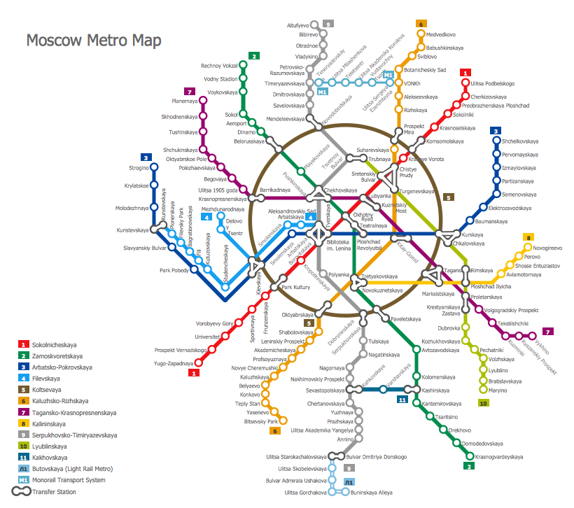
Example 1. Subway Map - Moscow Metro
Thanks to the extensive drawing tools offered by Metro Map Solution, you need follow just few steps to create your own Subway Map. You can begin at the new document or open the Metro Map template from ConceptDraw STORE. Then drag the vector objects from the Transport Map library included in Metro Map Solution and arrange them on your map. Add text labels, legend, denote location of parts of the world if needed.
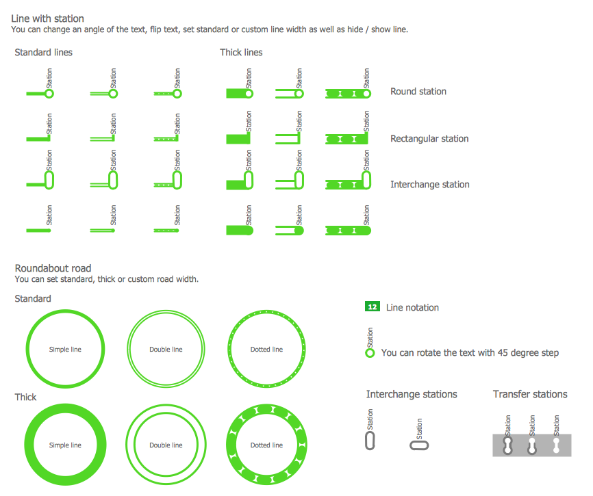
Example 2. Transport Map Library Design Elements
It is much convenient to use the predesigned objects from the Transport Map library from the Metro Map Solution when you change the Metro Map template or offered samples, or create your new Subway Map from the blank sheet.
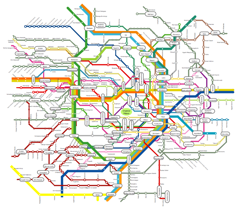
Example 3. Subway Map - Tokyo Tube
This sample was created in ConceptDraw DIAGRAM software using the Metro Map solution and shows the subway map of the Tokyo Tube. This map is detailed, and also visual and comprehensive thanks to the use of different colors for the subway lines. An experienced user spent 35 minutes creating this sample.
Use the Metro Map solution for ConceptDraw DIAGRAM software to create your Subway Map of any complexity without efforts.
All source documents are vector graphic documents. They are available for reviewing, modifying, or converting to a variety of formats (PDF file, MS PowerPoint, MS Visio, and many other graphic formats) from the ConceptDraw STORE. The Metro Map Solution is available for all ConceptDraw DIAGRAM or later users.