Geo Map — United States of America Map

The vector stencils library "United States of America" contains 53 state map contours for drawing thematic maps of USA.
Use it for visual representation of geospatial information, statistics and quantitative data.
The state map contours example "United States of America - Vector stencils library" was created using the ConceptDraw PRO diagramming and vector drawing software extended with the Continent Maps solution from the Maps area of ConceptDraw Solution Park.
USA (color)
-united-states-of-america---vector-stencils-library.png--diagram-flowchart-example.png)
USA

Alabama

Alaska

Arizona

Arkansas

California

Colorado

Connecticut

Delaware

Florida

Georgia

Hawaii

Idaho

Illinois

Indiana

Iowa

Kansas

Kentucky

Louisiana

Maine

Maryland

Massachusetts

Michigan

Minnesota

Mississippi

Missouri

Montana

Nebraska

Nevada

New Hampshire

New Jersey

New York

New Mexico

North Dakota

North Carolina

Ohio

Oklahoma

Oregon

Pennsylvania

Rhode Island

South Carolina

South Dakota

Tennessee

Texas

Utah

Vermont

Virginia

Washington

West Virginia

Wisconsin

Wyoming

Great Lakes

HelpDesk
How to Draw a Map of North America

The vector stencils library "North America" contains 70 contours for drawing thematic maps of North America in spatial infographics.
Use it for visual representation of geospatial information, statistics and quantitative data in the ConceptDraw PRO diagramming and vector drawing software extended with the Spatial Infographics solution from the area "What is Infographics" of ConceptDraw Solution Park.
Use it for visual representation of geospatial information, statistics and quantitative data in the ConceptDraw PRO diagramming and vector drawing software extended with the Spatial Infographics solution from the area "What is Infographics" of ConceptDraw Solution Park.
North America

Greenland (Denmark)
-north-america---vector-stencils-library.png--diagram-flowchart-example.png)
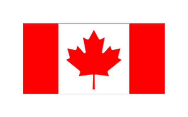
Canada

Canada (provinces and territories)
-north-america---vector-stencils-library.png--diagram-flowchart-example.png)
Alberta

British Columbia

Manitoba

New Brunswick

Newfoundland and Labrador

Northwest Territories

Nova Scotia

Nunavut

Ontario

Prince Edward Island

Quebec

Saskatchewan

Yukon

USA

US states

Alabama

Alaska

Arizona

Arkansas

California

Colorado

Connecticut

Delaware

Florida

Georgia

Hawaii

Idaho

Illinois

Indiana

Iowa

Kansas

Kentucky

Louisiana

Maine

Maryland

Massachusetts

Michigan

Minnesota

Mississippi

Missouri

Montana

Nebraska

Nevada

New Hampshire

New Jersey

New Mexico

New York

North Carolina

North Dakota

Ohio

Oklahoma

Oregon

Pennsylvania

Rhode Island

South Carolina

South Dakota

Tennessee

Texas

Utah

Vermont

Virginia

Washington

West Virginia

Wisconsin

Wyoming

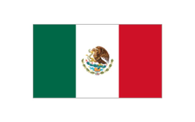
Mexico

"A state of the United States of America is one of the 50 constituent political entities that shares its sovereignty with the United States federal government."
[U.S. state. Wikipedia]
This political map example was redesigned from the Wikimedia Commons file: Map of USA with state names 2.svg.
[commons.wikimedia.org/ wiki/ File:Map_ of_ USA_ with_ state_ names_ 2.svg]
This file is licensed under the Creative Commons Attribution-Share Alike 3.0 Unported license. [creativecommons.org/ licenses/ by-sa/ 3.0/ deed.en]
The example "Map of USA with state names" was created using the ConceptDraw PRO diagramming and vector drawing software extended with the Continent Map solution from the Maps area of ConceptDraw Solution Park.
Political map - USA

The vector stencils library "North America" contains 70 contours for drawing thematic maps of North America in spatial infographics.
Use it for visual representation of geospatial information, statistics and quantitative data in the ConceptDraw PRO diagramming and vector drawing software extended with the Spatial Infographics solution from the area "What is Infographics" of ConceptDraw Solution Park.
Use it for visual representation of geospatial information, statistics and quantitative data in the ConceptDraw PRO diagramming and vector drawing software extended with the Spatial Infographics solution from the area "What is Infographics" of ConceptDraw Solution Park.
North America
Greenland (Denmark)
Canada
Canada (provinces and territories)
Alberta
British Columbia
Manitoba
New Brunswick
Newfoundland and Labrador
Northwest Territories
Nova Scotia
Nunavut
Ontario
Prince Edward Island
Quebec
Saskatchewan
Yukon
USA
US states
Alabama
Alaska
Arizona
Arkansas
California
Colorado
Connecticut
Delaware
Florida
Georgia
Hawaii
Idaho
Illinois
Indiana
Iowa
Kansas
Kentucky
Louisiana
Maine
Maryland
Massachusetts
Michigan
Minnesota
Mississippi
Missouri
Montana
Nebraska
Nevada
New Hampshire
New Jersey
New Mexico
New York
North Carolina
North Dakota
Ohio
Oklahoma
Oregon
Pennsylvania
Rhode Island
South Carolina
South Dakota
Tennessee
Texas
Utah
Vermont
Virginia
Washington
West Virginia
Wisconsin
Wyoming
Mexico
Geo Map - USA - New Hampshire

Use this template of North America map with contours of North American countries, capitals and main cities to design your political or thematic map. This North America map template for the ConceptDraw PRO diagramming and vector drawing software is included in the Continent Maps solution from the Maps area of ConceptDraw Solution Park.
North America map template

Use this template to design your North America political map, cartogram or thematic map, to visualize your spatial business information connected with geographic areas, locations or ways.
This North America map template for the ConceptDraw PRO diagramming and vector drawing software is included in the Continent Maps solution from the Maps area of ConceptDraw Solution Park.
This North America map template for the ConceptDraw PRO diagramming and vector drawing software is included in the Continent Maps solution from the Maps area of ConceptDraw Solution Park.
North America thematic map template

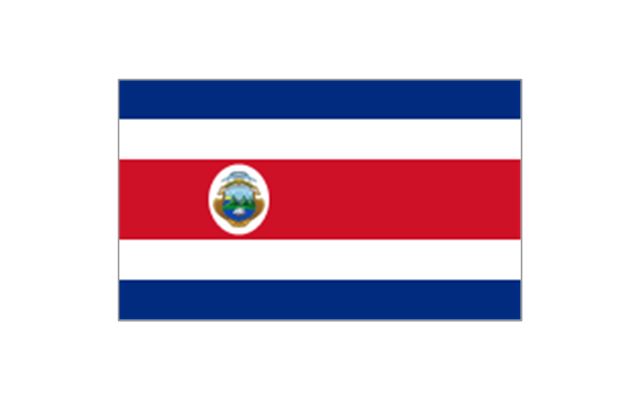
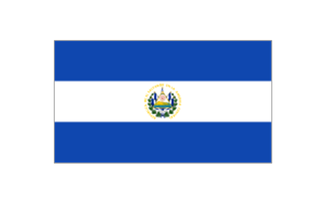
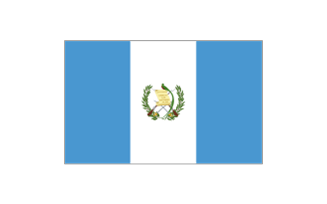
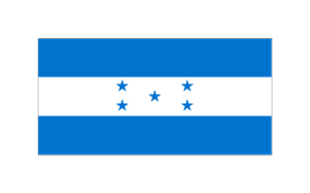
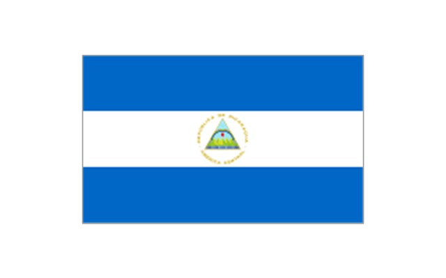
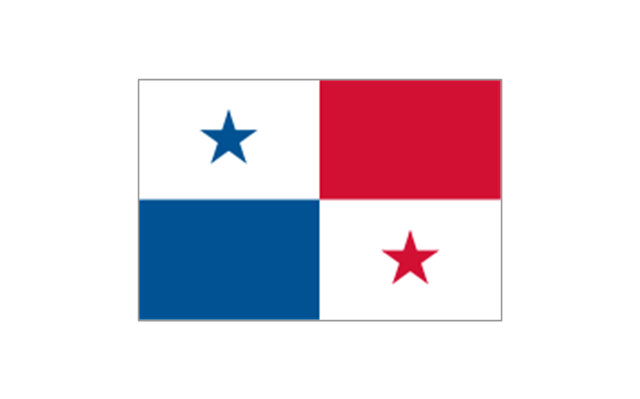
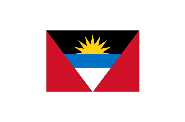
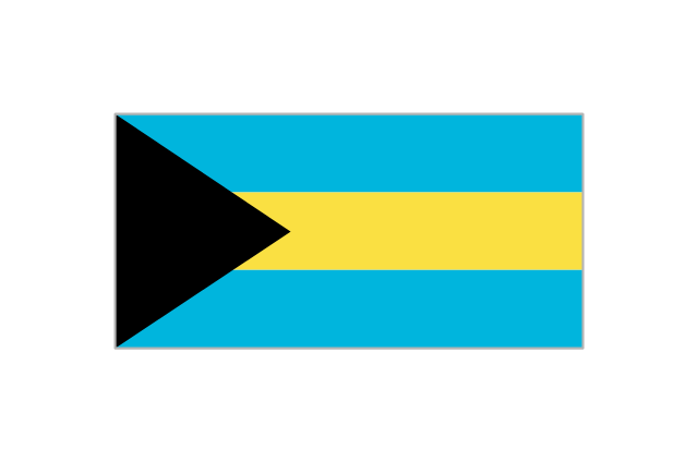
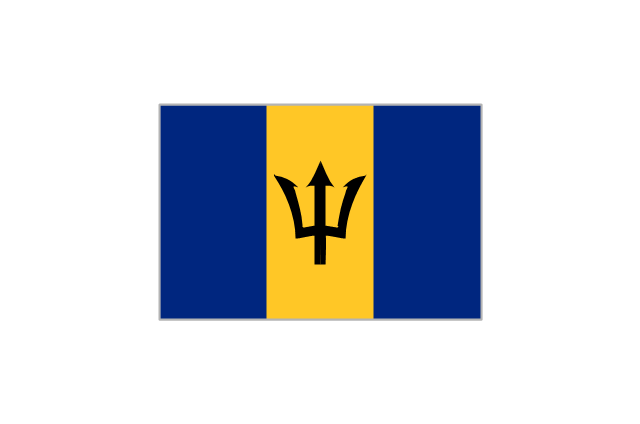
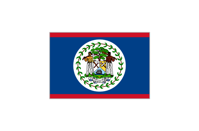
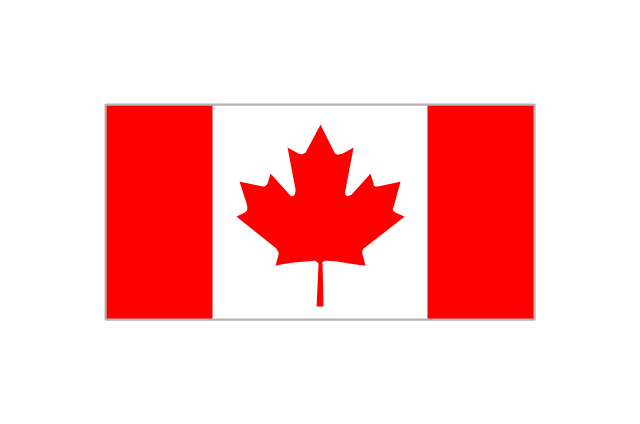
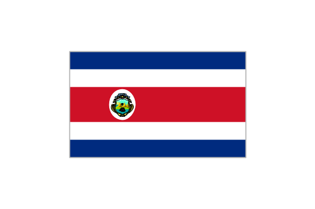
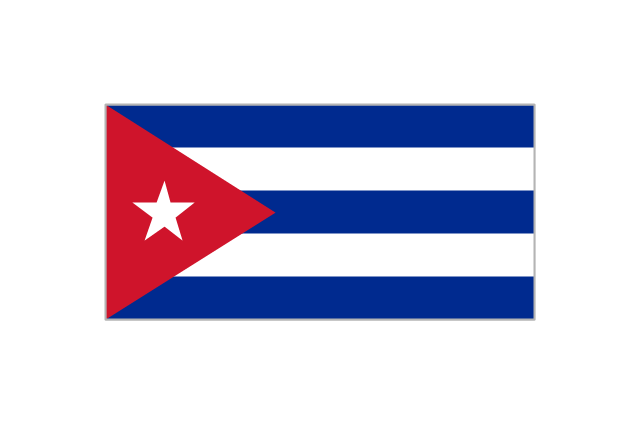
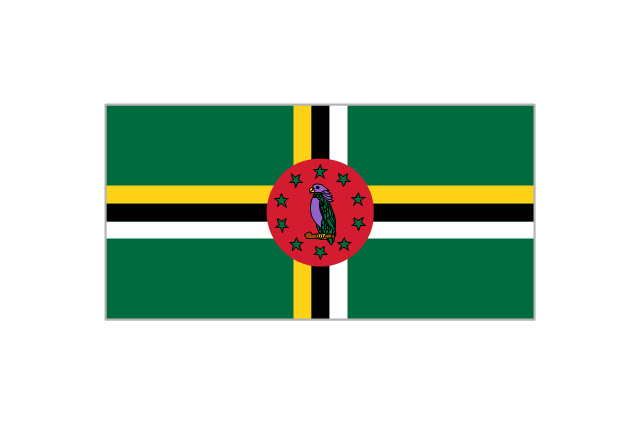
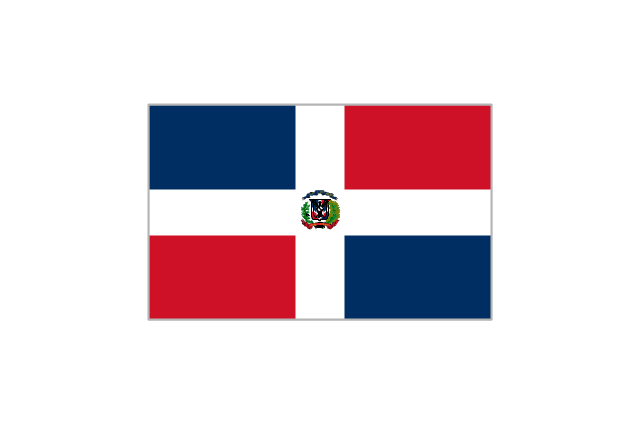
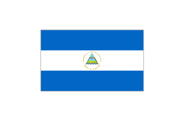
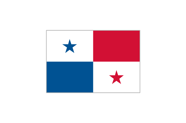
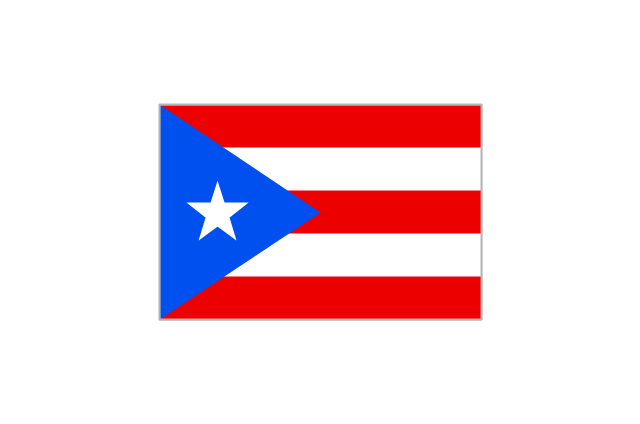
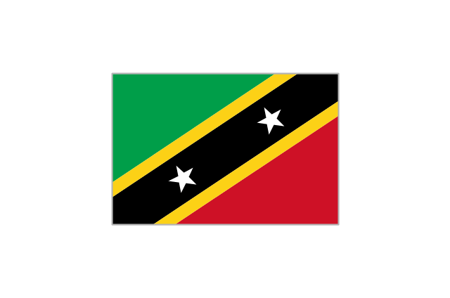
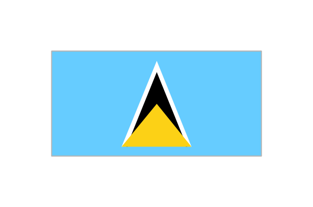
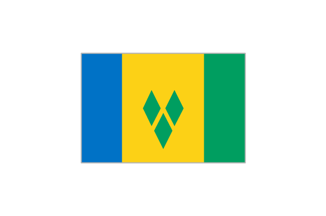
The vector stencils library "North and Central America country flags" contains 26 North and Central American state flags clipart.
Use this clip art library to illustrate your business documents, presentation slides, webpages, infographics.
The clip art example "Design elements - North and Central America country flags" was created using the ConceptDraw PRO diagramming and vector drawing software extended with the Artwork solution from the Illustration area of ConceptDraw Solution Park.
North and Central American state flags clip art
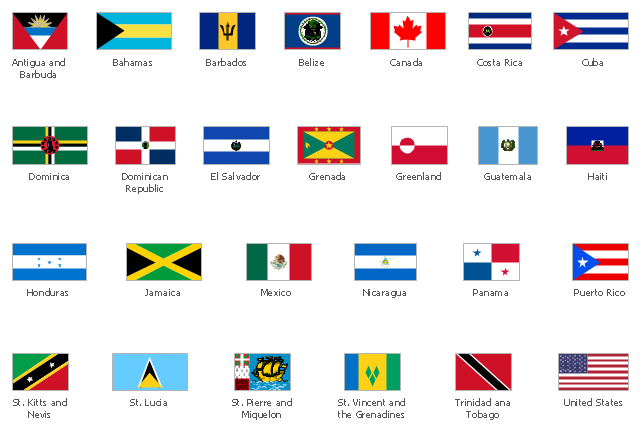
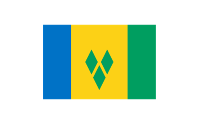
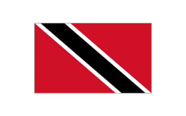
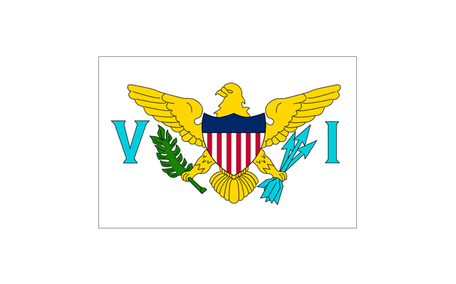
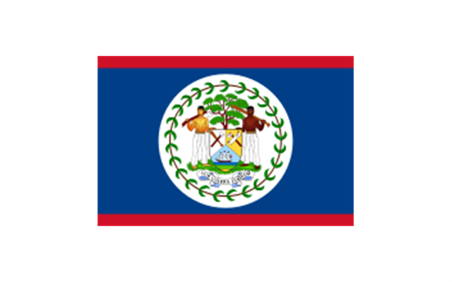
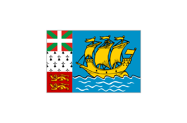
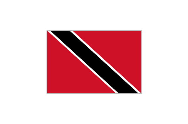
The stencils library "North and Central America flags" contains 35 clipart images of North and Central American countries state flags.
"Flags of North America.
North America: Flag of Canada, Flag of Mexico, Flag of the United States.
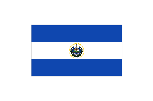
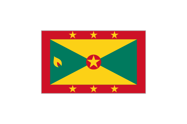
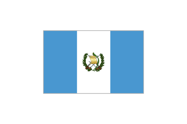
Central America: Flag of Belize, Flag of Costa Rica, Flag of El Salvador, Flag of Guatemala, Flag of Honduras, Flag of Nicaragua, Flag of Panama.
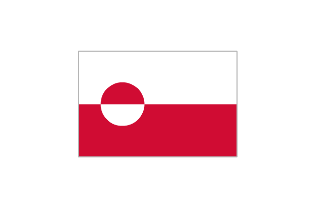
Caribbean: Flag of Anguilla (United Kingdom), Flag of Antigua and Barbuda, Flag of Aruba (Netherlands), Flag of the Bahamas, Flag of Barbados, Flag of Bonaire (Netherlands), Flag of the British Virgin Islands (United Kingdom), Flag of the Cayman Islands (United Kingdom), Flag of Cuba, Flag of Curacao (Netherlands), Flag of Dominica, Flag of the Dominican Republic, Flag of Grenada, Unofficial Flag of Guadeloupe (France), Flag of Haiti, Flag of Jamaica, Unofficial Flag of Martinique (France), Flag of Montserrat (United Kingdom), Unofficial Flag of Navassa Island (United States), Flag of Puerto Rico (United States), Flag of Saba (Netherlands), Unofficial Flag of Saint Barthelemy (France), Flag of Saint Kitts and Nevis, Flag of Saint Lucia, Unofficial Flag of Saint Martin (France), Flag of Saint Vincent and the Grenadines, Flag of Sint Eustatius (Netherlands), Flag of Sint Maarten (Netherlands), Flag of Trinidad and Tobago, Flag of the Turks and Caicos Islands (United Kingdom), Flag of the United States Virgin Islands (United States)." [Flags of North America. Wikipedia]
The clip art example "North and Central America flags - Stencils library" was created using the ConceptDraw PRO diagramming and vector drawing software extended with the Continent Maps solution from the Maps area of ConceptDraw Solution Park.
www.conceptdraw.com/ solution-park/ maps-continent
"Flags of North America.
North America: Flag of Canada, Flag of Mexico, Flag of the United States.
Central America: Flag of Belize, Flag of Costa Rica, Flag of El Salvador, Flag of Guatemala, Flag of Honduras, Flag of Nicaragua, Flag of Panama.
Caribbean: Flag of Anguilla (United Kingdom), Flag of Antigua and Barbuda, Flag of Aruba (Netherlands), Flag of the Bahamas, Flag of Barbados, Flag of Bonaire (Netherlands), Flag of the British Virgin Islands (United Kingdom), Flag of the Cayman Islands (United Kingdom), Flag of Cuba, Flag of Curacao (Netherlands), Flag of Dominica, Flag of the Dominican Republic, Flag of Grenada, Unofficial Flag of Guadeloupe (France), Flag of Haiti, Flag of Jamaica, Unofficial Flag of Martinique (France), Flag of Montserrat (United Kingdom), Unofficial Flag of Navassa Island (United States), Flag of Puerto Rico (United States), Flag of Saba (Netherlands), Unofficial Flag of Saint Barthelemy (France), Flag of Saint Kitts and Nevis, Flag of Saint Lucia, Unofficial Flag of Saint Martin (France), Flag of Saint Vincent and the Grenadines, Flag of Sint Eustatius (Netherlands), Flag of Sint Maarten (Netherlands), Flag of Trinidad and Tobago, Flag of the Turks and Caicos Islands (United Kingdom), Flag of the United States Virgin Islands (United States)." [Flags of North America. Wikipedia]
The clip art example "North and Central America flags - Stencils library" was created using the ConceptDraw PRO diagramming and vector drawing software extended with the Continent Maps solution from the Maps area of ConceptDraw Solution Park.
www.conceptdraw.com/ solution-park/ maps-continent
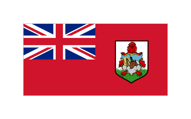
Bermuda
Canada
Greenland (Denmark)
-north-and-central-america-flags---stencils-library.png--diagram-flowchart-example.png)
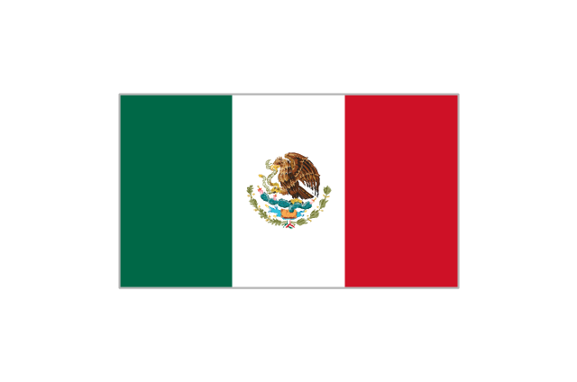
Mexico
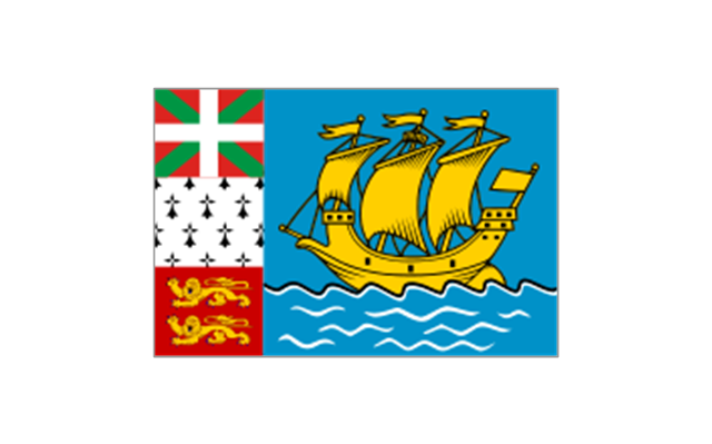
St. Pierre and Miquelon
United States

Anguilla (UK)
-north-and-central-america-flags---stencils-library.png--diagram-flowchart-example.png)
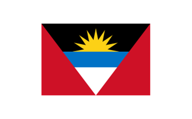
Antigua and Barbuda
Aruba (Netherlands)
-north-and-central-america-flags---stencils-library.png--diagram-flowchart-example.png)
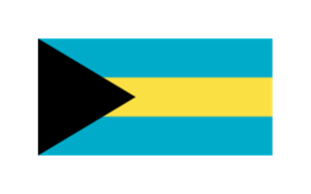
Bahamas
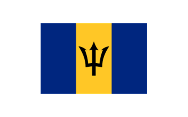
Barbados
Cuba
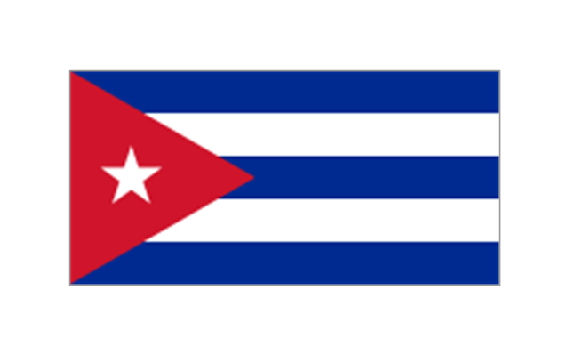
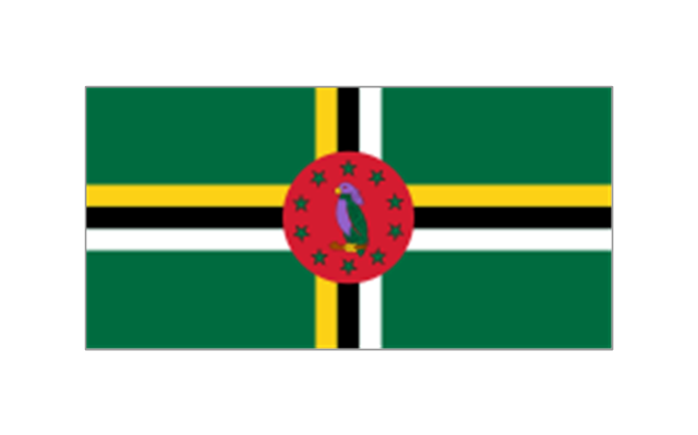
Dominica
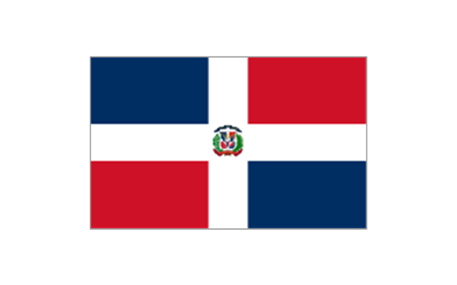
Dominican Republic
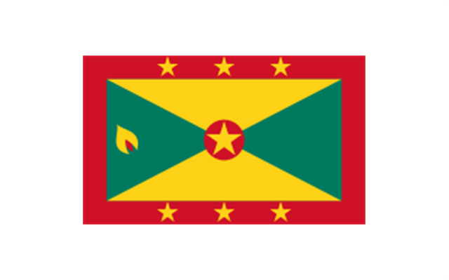
Grenada
Guadeloupe (France)
-north-and-central-america-flags---stencils-library.png--diagram-flowchart-example.png)
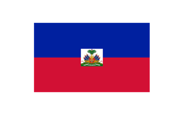
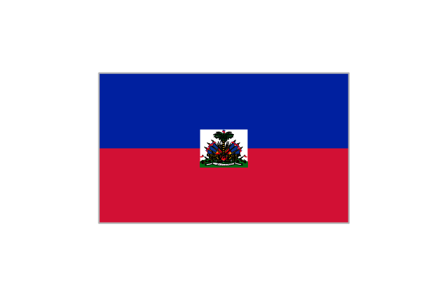
Haiti
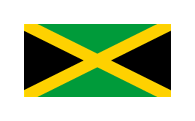
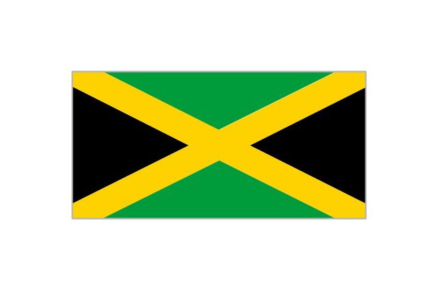
Jamaica
Martinique (France)
-north-and-central-america-flags---stencils-library.png--diagram-flowchart-example.png)
Navassa Island (US)
-north-and-central-america-flags---stencils-library.png--diagram-flowchart-example.png)
Puerto Rico (US)
-north-and-central-america-flags---stencils-library.png--diagram-flowchart-example.png)
Saint Barth??lemy (France)
-north-and-central-america-flags---stencils-library.png--diagram-flowchart-example.png)
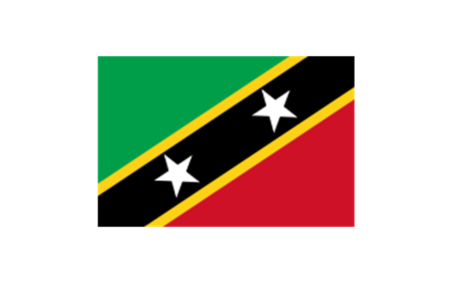
Saint Kitts and Nevis
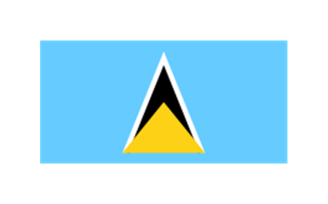
Saint Lucia
Saint Martin (France)
-north-and-central-america-flags---stencils-library.png--diagram-flowchart-example.png)
Saint Vincent and the Grenadines
Trinidad and Tobago
United States Virgin Islands
Belize
Costa Rica
El Salvador
Guatemala
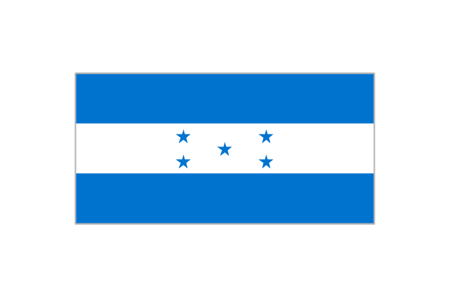
Honduras
Nicaragua
Panama
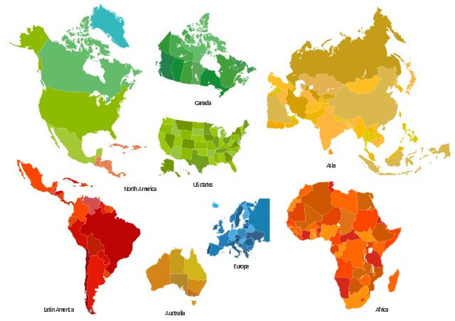
The vector stencils library "Africa" contains 51 African countries contour maps.
The vector stencils library "Asia" contains 47 Asian countries contour maps.
The vector stencils library "Australia and New Zealand" contains 10 contour maps.
The vector stencils library "Europe" contains 39 European countries contour maps.
The vector stencils library "Latin America" contains 30 Latin American countries contour maps.
The vector stencils library "North America" contains 70 North American countries contour maps.
"A continent is one of several very large landmasses on Earth. They are generally identified by convention rather than any strict criteria, with up to seven regions commonly regarded as continents. These are from largest in size to smallest: Asia, Africa, North America, South America, Antarctica, Europe, and Australia." [Continent. Wikipedia]
The contour maps example "Design elements - Continental map" was created using the ConceptDraw PRO diagramming and vector drawing software extended with the Spatial Infographics solution from the Maps area of ConceptDraw Solution Park.
Continental contour maps
Geo Map - USA - Mexico

Geo Map — USA — Montana

The vector stencils library "North and Central America country flags" contains 26 clipart images of North and Central American state flags. Use the North and Central American country flags clip art to illustrate your business documents, presentation slides, web pages, geo maps and infographics. The clip art example "North and Central America country flags - Vector stencils library" was created using the ConceptDraw PRO diagramming and vector drawing software extended with the Artwork solution from the Illustration area of ConceptDraw Solution Park.
Antigua and Barbuda
Bahamas
Barbados
Belize
Canada
Costa Rica
Cuba
Dominica
Dominican Republic
El Salvador
Grenada
Greenland
Guatemala
Haiti
Honduras
Jamaica
Mexico
Nicaragua
Panama
Puerto Rico
St. Kitts and Nevis
St. Lucia
St. Pierre and Miquelon
St. Vincent and the Grenadines
Trinidad and Tobago
United States

A color-coded map showing US state-by-state status of Benefit Corporation legislation.
"A thematic map is a type of map or chart especially designed to show a particular theme connected with a specific geographic area. These maps "can portray physical, social, political, cultural, economic, sociological, agricultural, or any other aspects of a city, state, region, nation, or continent"." [Thematic map. Wikipedia]
This U.S.A. thematic map was redesigned from Wikipedia file: Benefit Corporation Map 2012 05 16.svg. [commons.wikimedia.org/ wiki/ File:Benefit_ Corporation_ Map_ 2012_ 05_ 16.svg]
This file is licensed under the Creative Commons Attribution-Share Alike 3.0 Unported license.
[creativecommons.org/ licenses/ by-sa/ 3.0/ deed.en]
This U.S. thematic map example was created using the ConceptDraw PRO diagramming and vector drawing software extended with the Continent Maps solution from the Maps area of ConceptDraw Solution Park.
Thematic map of U.S.

Geo Map - USA - Indiana

Geo Map — USA — Oklahoma

Geo Map - USA - Nebraska

Geo Map - USA - Ohio

- United States of America - Vector stencils library
- Map of USA with state names | Geo Map - America - United States ...
- Geo Map - United States of America Map | USA Maps | Map of USA ...
- Geo Map - United States of America Map
- Geo Map - America - United States | Map of USA with state names ...
- Design elements - South America | Map of USA with state names ...
- Geo Map - United States of America Map | Map of USA with state ...
- Geo Map - America - United States | Design elements - USA | Geo ...
- Geo Map - America - United States
- Geo Map - United States of America Map | How to Draw a Map of ...
- Map of USA with state names | Geo Map - South America - Haiti ...
- Geo Map - America - United States
- Geo Map - America - United States
- Geo Map - America - United States | Geo Map - USA - Colorado ...
- Geo Map - USA - Maine | North America - Vector stencils library ...
- USA Maps | How to Draw a Map of North America Using ...
- Geo Map - South America - Mexico | Geo Map - USA - Arizona | Geo ...
- Map of USA with state names | Geo Map - Asia - South Korea | Geo ...
- Geo Map - USA - Florida | North America - Vector stencils library ...
- USA Maps | Geo Map - USA - Tennesse | How to Draw a Map of ...