 Directional Maps
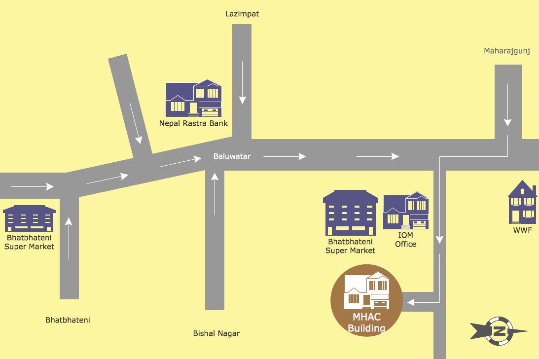
Directional Maps solution extends ConceptDraw PRO software with templates, samples and libraries of vector stencils for drawing the directional, location, site, transit, road and route maps, plans and schemes.
Map Directions
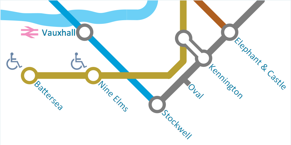
ConceptDraw PRO software extended with Directional Maps Solution from the Maps Area of ConceptDraw Solution Park offers you the set of useful tools for easy drawing map directions, directional maps, road maps, navigation schemes, transit maps of any complexity, etc.Geospatial Data
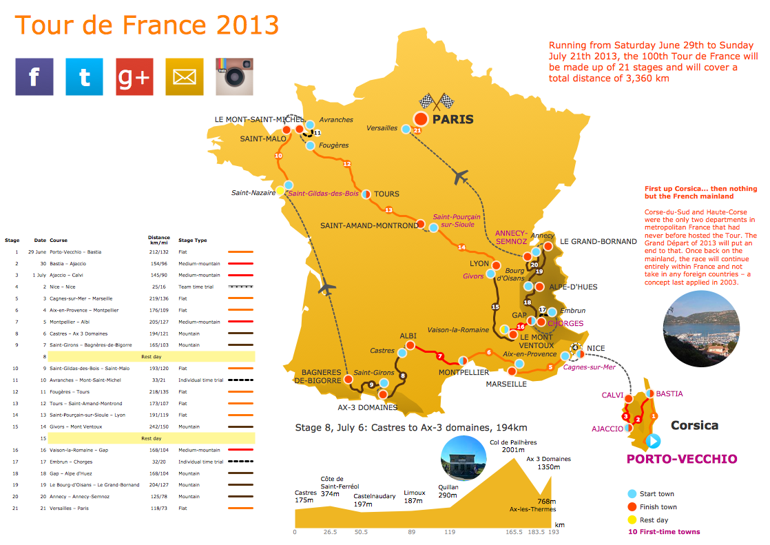
Effective spatial infographics design, easy geospatial data presenting, now it is reality thanks to the extensive drawing tools of the Spatial Infographics Solution included in “What are Infographics” Area of ConceptDraw Solution Park.Spatial Data
How to represent the spatial data quick and easy? All what you need is a powerful spatial infographic software. Never before creation of Spatial Infographics wasn’t so easy as now with Spatial Infographics Solution from the “What are Infographics” Area for ConceptDraw Solution Park.- Design elements - Location map | Map symbols - Vector stencils ...
- Design elements - 3D directional maps | Design elements - Subway ...
- Maps | Spatial Infographics | Design elements - 3D directional maps ...
- Landmarks - Vector stencils library | ConceptDraw Solution Park ...
- Hotel locator map | Maps | Design elements - 3D directional maps ...
- Brilliant Examples of Infographics Map , Transport, Road
- Transit map template
- Map symbols - Vector stencils library | Directional Maps | Map ...
- Maps | Types of Map - Overview | Value Stream Mapping | Software ...
- Transit Maps
- MTA Subway Map | Metro Map | How to draw Metro Map style ...
- Landmarks - Vector stencils library | Rail transport - Vector stencils ...
- Spatial infographics Design Elements: Location Map | Directional ...
- Design elements - Road signs
- Examples of Flowcharts, Org Charts and More | 3D pictorial road ...
- Line graph template - The number of tourists visiting the resort town ...
- Basic Diagramming | 3D Network Diagram Software | Maps ...
- Directions Map
- Directional Maps | How to Create a Directional Map Using ...
- Maps | Brilliant Examples of Infographics Map , Transport, Road ...


