Geo Map - Europe - Switzerland

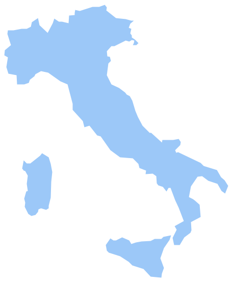
Geo Map - Europe - Italy
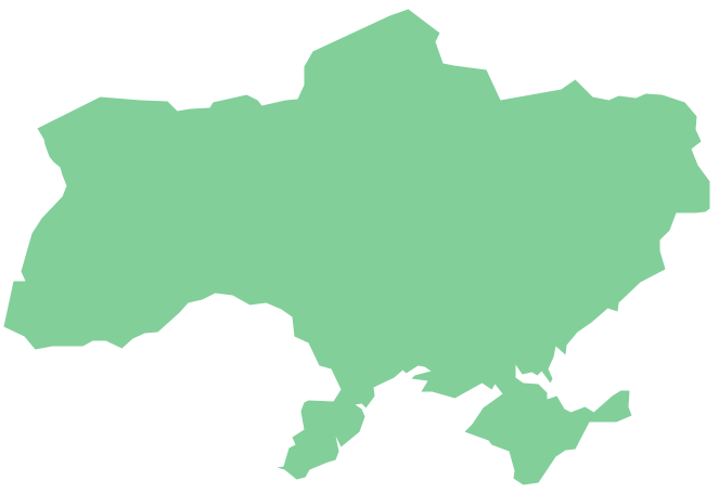
Geo Map - Europe - Ukraine
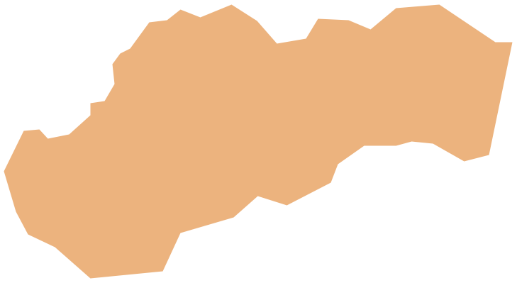
Geo Map - Europe - Slovakia
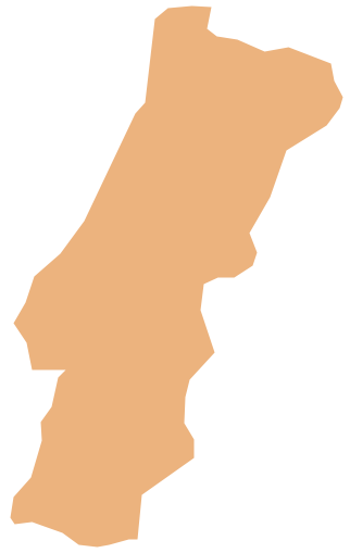
Geo Map - Europe - Portugal
Spatial infographics Design Elements: Continental Map

"Alphabetical list of subregions in the United Nations geoscheme for Europe.
Eastern Europe: Belarus, Bulgaria, Czech Republic, Hungary, Moldova, Poland, Romania, Russia, Slovakia, Ukraine.
Northern Europe: Åland Islands, Denmark, Estonia, Faroe Islands, Finland, Guernsey, Iceland, Ireland, Isle of Man, Jersey, Latvia, Lithuania, Norway, Svalbard and Jan Mayen, Sweden, United Kingdom.
Southern Europe: Albania, Andorra, Bosnia and Herzegovina, Croatia, Gibraltar, Greece, Italy, Malta, Montenegro, Portugal, Macedonia, San Marino, Serbia, Slovenia, Spain, Vatican City.
Western Europe: Austria, Belgium, France, Germany, Liechtenstein, Luxembourg, Monaco, Netherlands, Switzerland." [United Nations geoscheme for Europe. Wikipedia]
The example "Political map of Europe" illustrated with European state flags was created using the ConceptDraw PRO diagramming and vector drawing software extended with the Continent Maps solution from the Maps area of ConceptDraw Solution Park.
Political map - Europe

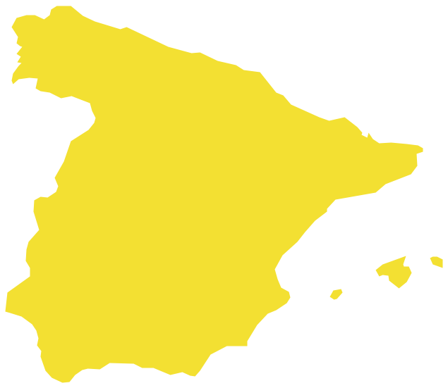
Geo Map — Europe — Spain
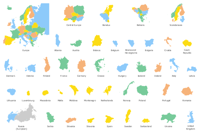
Use the map contours library "Europe" to design thematic maps of European countries using the ConceptDraw PRO diagramming and vector drawing software.
The vector stencils library "Europe" contains 43 European state map contours.
The map contours example "Design elements - Europe" is included in the Continent Maps solution from the Maps area of ConceptDraw Solution Park.
The vector stencils library "Europe" contains 43 European state map contours.
The map contours example "Design elements - Europe" is included in the Continent Maps solution from the Maps area of ConceptDraw Solution Park.
Europe state map contours
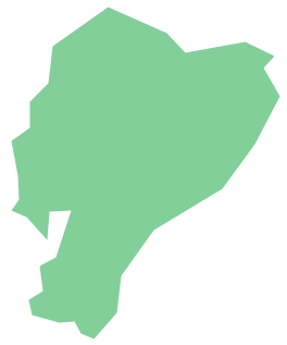
Geo Map - South America - Ecuador
- Map Of Europe
- Map Of Europe Showing Luxembourg And Switzerland
- Geo Map — Europe | Geo Map - Europe - Switzerland | Geo Map ...
- Europe Map Ppt Free
- Political map of Europe | European country flags - Vector stencils ...
- Political map of Europe | Europe - Vector stencils library | Spain ...
- Geo Map - Europe - Italy | Geo Map - Europe - Switzerland | Geo ...
- Europe - Vector stencils library | Political map of Europe | Europe ...
- Geo Map - Europe - Albania
- Slovenia In The Map Of Europe