Geo Map - Europe - Bulgaria

Geo Map — Europe

Process Flowchart


How to draw Metro Map style infographics? Moscow, New York, Los Angeles, London

The vector clipart library Geography contains 14 images of geographical features: ocean, forest, river, lake, waterfall, mountains, ravine, volcano, desert, hills, iceberg, trees.
Use the design elements library Geography to draw illustrations with landform images using the ConceptDraw PRO diagramming and vector drawing software.
"A landform in the earth sciences comprises a geomorphological unit, and is largely defined by its surface form and location in the landscape. As part of the terrain a landform is an element of topography. Landform elements also include land such as hills, mountains, plateaus,canyons,valleys, seascape and oceanic waterbody interface features such as bays, peninsulas, seas and so forth, including sub-aqueous terrain features such as mid-ocean ridges, volcanoes,and the great ocean basins." [Landform. Wikipedia]
This landscape illustration example is included in the Nature solution from the Illustration area of ConceptDraw Solution Park.
Vector illustration

Geo Map — South America Continent

Geo Map - USA - Iowa

Geo Map — USA — Mississippi

Geo Map — Asia — Indonesia

Rail transport - Design elements
Geo Map - Asia - North Korea

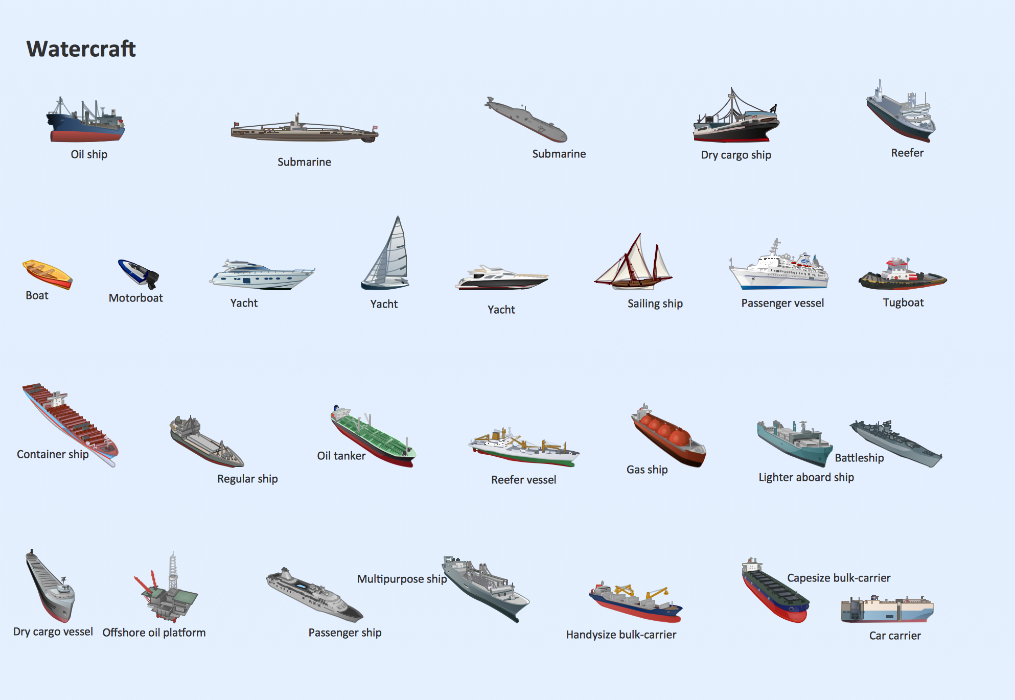
Watercraft - Design Elements
This spatial infographic example was created on the base of the tube map from the Transport for London website.
[tfl.gov.uk/ assets/ images/ general/ 24746-nle-gallery-tube-map.jpg]
"The Tube map is a schematic transit map of the lines and stations of London's public rapid transit railway systems, namely the London Underground (commonly known as the Tube, hence the name), Docklands Light Railway, London Overground and Emirates Air Line, as well as being incorporated into Greater London connections maps.
As a schematic diagram, it shows not necessarily the geographic but rather the relative positions of stations along the lines, stations' connective relations with each other and fare zones. The basic design concepts have been widely adopted for other network maps around the world, especially that of mapping topologically rather than geographically." [Tube map. Wikipedia]
The spatial infographics example "Metro map - Northern line extension to Battersea via Nine Elms" was created using the ConceptDraw PRO diagramming and vector drawing software extended with the Spatial Infographics solution from the area "What is Infographics" of ConceptDraw Solution Park.
Tube map

The vector stencils library "Geography" contains 14 clipart images of natural landscapes and water features for drawing illustrations.
"A natural landscape is a landscape that is unaffected by human activity. A natural landscape is intact when all living and nonliving elements are free to move and change. The nonliving elements distinguish a natural landscape from a wilderness. A wilderness includes areas within which natural processes operate without human interference, but a wilderness must contain life. As implied, a natural landscape may contain either the living or nonliving or both." [Natural landscape. Wikipedia]
The clip art example "Geography - Vector stencils library" was created using the ConceptDraw PRO diagramming and vector drawing software extended with the Nature solution from the Illustration area of ConceptDraw Solution Park.
www.conceptdraw.com/ solution-park/ illustrations-nature
Ocean

Forest

River

Lake

Waterfall

Mountains

Mountain

Ravine

Volcano

Desert

Hills

Iceberg

Conifer tree

Tree

Geo Map - South America - Paraguay

- Png River Image
- River Png Images
- River Image Png
- River Clipart Png
- River Real Png Clipart
- River Water Png
- Design elements - Geography | Desert Terrain Clipart Png
- Mountain Png Images
- Iceberg Clipart Png
- Hills Image Png
- Road Tree Png
- River Mountain Vector Png
- Desert Png Images
- River Symbols Png
- River Vector Png
- Mountains Clipart Png
- Png Hills
- Sea Png Photos
- Clipart Png Hills
- Beetles in the river Thames | Landmarks - Vector stencils library ...