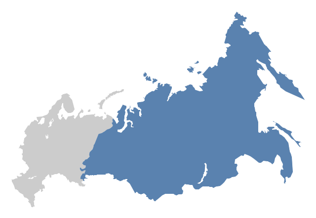
"North Asia or Northern Asia is a subregion of Asia, consisting of the Asian portion of Russia – area on the east of Ural Mountains." [North Asia. Wikipedia]
This political map sample was redesigned from the Wikimedia Commons file: Location-Asia-UNsubregions.png. [commons.wikimedia.org/ wiki/ File:Location-Asia-UNsubregions.png]
The example "North Asia - Political map" was created using the ConceptDraw PRO diagramming and vector drawing software extended with the Continent Maps solution from the Maps area of ConceptDraw Solution Park.
Political map - North Asia
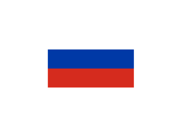
Geo Map - Europe - Russia

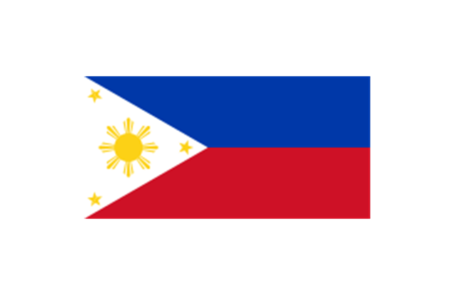
Geo Map - Asia - Philippines

Use the Continent Maps solution and Philippines library to draw thematic maps, geospatial infographics and vector illustrations. This solution to help visualize the business and thematic information connected with geographic areas, locations or customs; for your business documents, presentations and websites.
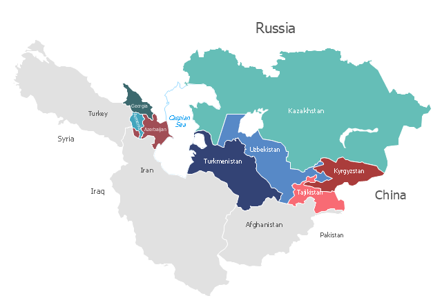
"Central Asia is the core region of the Asian continent and stretches from the Caspian Sea in the west to China in the east and from Afghanistan in the south to Russia in the north. It is also sometimes referred to as Middle Asia, and, colloquially, "the 'stans" (as the five countries generally considered to be within the region all have names ending with the Persian suffix "-stan", meaning "land of") and is within the scope of the wider Eurasian continent.
In modern contexts, all definitions of Central Asia include these five republics of the former Soviet Union: Kazakhstan ..., Kyrgyzstan ..., Tajikistan ..., Turkmenistan ..., and Uzbekistan ... Other areas sometimes included are Afghanistan, Mongolia, eastern Iran, and northwestern Pakistan, and sometimes Xinjiang and Tibet in western China, the Kashmir region of northern India and northern Pakistan, and southern Siberia in southern Russia." [Central Asia. Wikipedia]
This Central Asia political map was redesigned from Wikimedia Commons file: Central Asia - political map - 2000.svg.
[commons.wikimedia.org/ wiki/ File:Central_ Asia_ -_ political_ map_ -_ 2000.svg]
This file is licensed under the Creative Commons Attribution-Share Alike 3.0 Unported license. [creativecommons.org/ licenses/ by-sa/ 3.0/ deed.en]
The political map example "Central Asia" was drawn using the ConceptDraw PRO diagramming and vector drawing software extended with the design elements library Asia.
The political map example "Central Asia" is included in the Continent Maps solution from the Maps area of ConceptDraw Solution Park.
Political map - Central Asia

Geo Map - Asia

Use Geo Map Asia to draw thematic maps, geospatial infographics and vector illustrations for your business documents, presentations and websites.
Geo Map - Asia - North Korea

The vector stencils library North Korea contains contours for ConceptDraw PRO diagramming and vector drawing software. This library is contained in the Continent Maps solution from Maps area of ConceptDraw Solution Park.
The vector stencils library "Asia" contains 57 Asian state map contours for drawing thematic and political maps of Asia. Use it for visual representation of geospatial information, statistics and quantitative data.
"Asia is the Earth's largest and most populous continent, located primarily in the eastern and northern hemispheres. ... Countries: 49 (and 5 disputed)." [Asia. Wikipedia]
The state map contours example "Asia - Vector stencils library" was created using the ConceptDraw PRO diagramming and vector drawing software extended with the Continent Maps solution from the Maps area of ConceptDraw Solution Park.
Asia

Central Asia

South Asia

East Asia

Southeast Asia

Afghanistan

Armenia

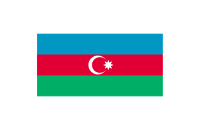
Azerbaijan

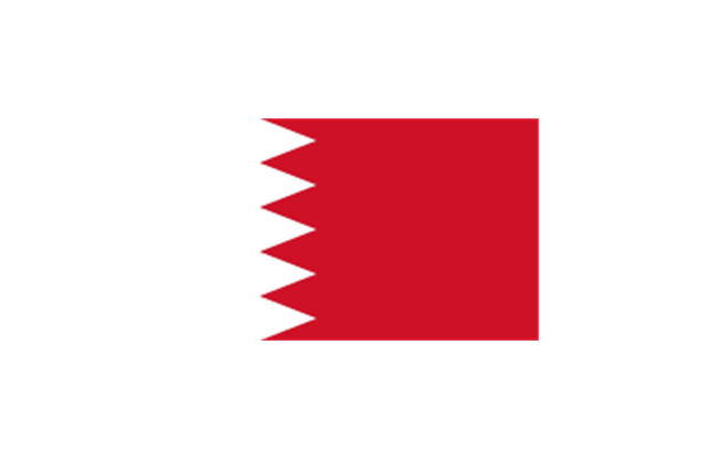
Bahrain

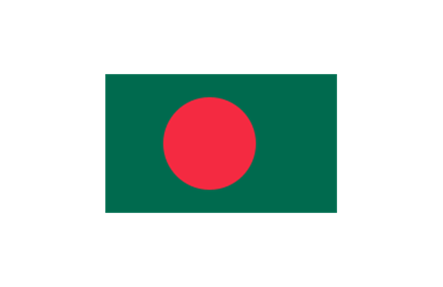
Bangladesh

Bhutan

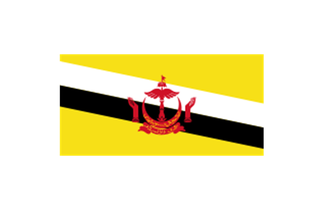
Brunei

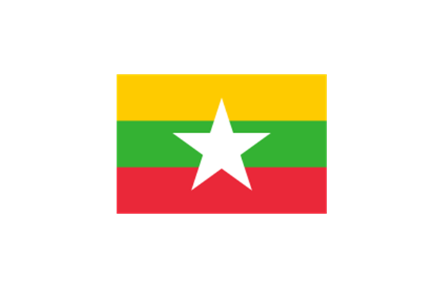
Burma (Myanmar)
-asia---vector-stencils-library.png--diagram-flowchart-example.png)
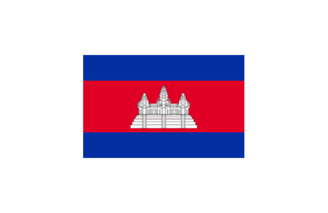
Cambodia

China

Cyprus

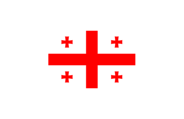
Georgia

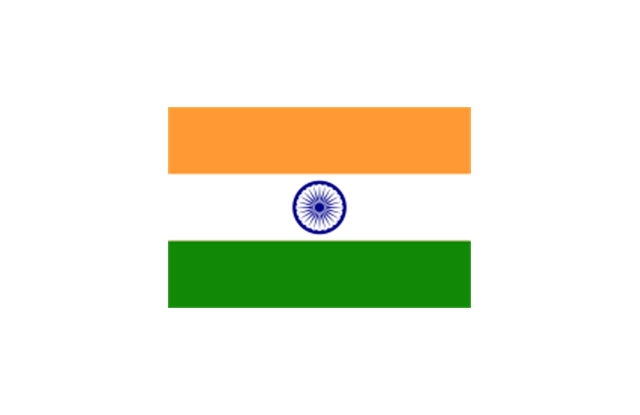
India

Indonesia

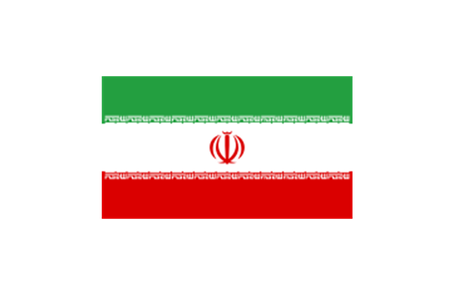
Iran

Iraq

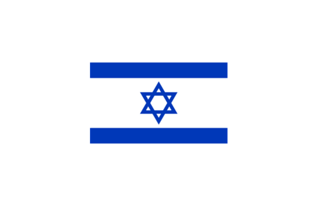
Israel

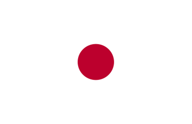
Japan

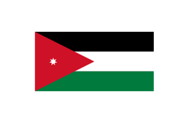
Jordan

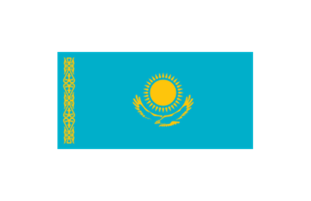
Kazakhstan

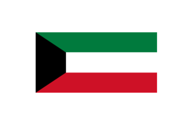
Kuwait

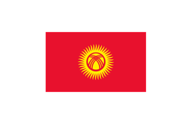
Kyrgyzstan

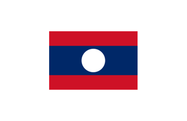
Laos

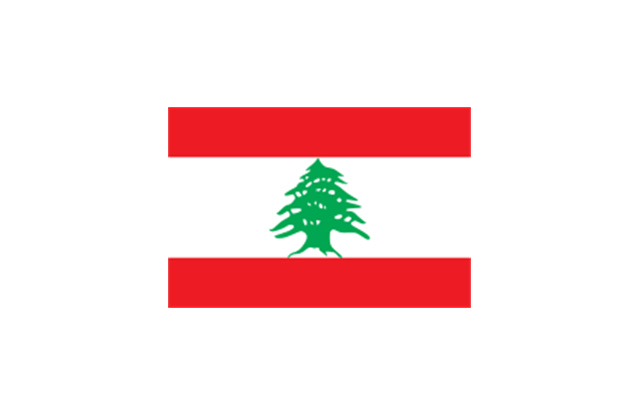
Lebanon

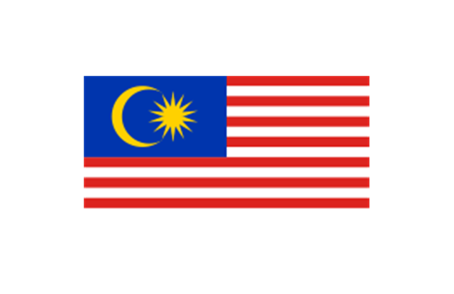
Malaysia

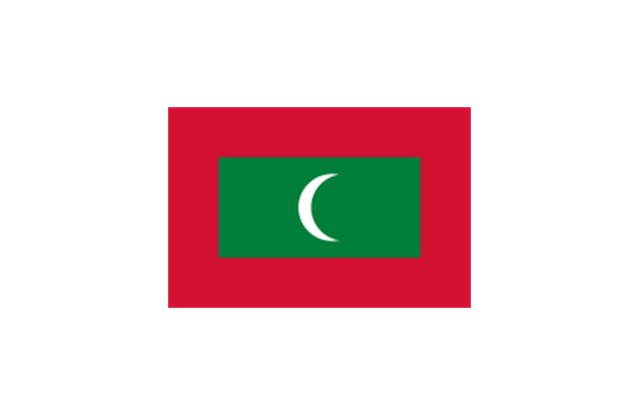
Maldives

Mongolia

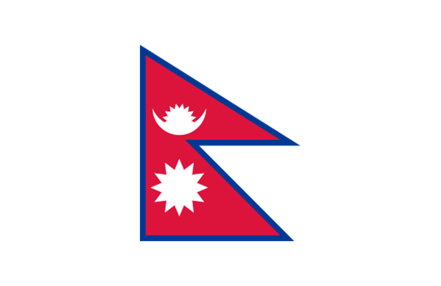
Nepal

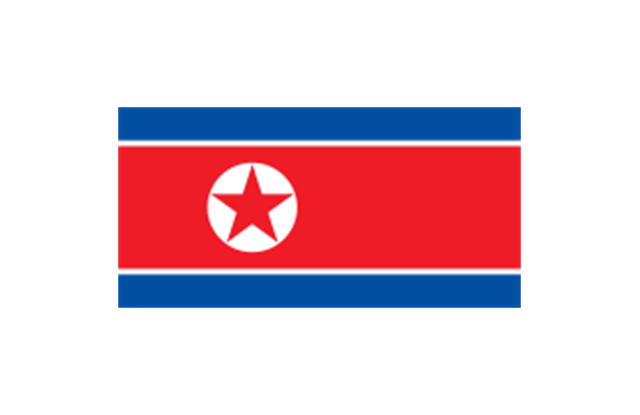
North Korea

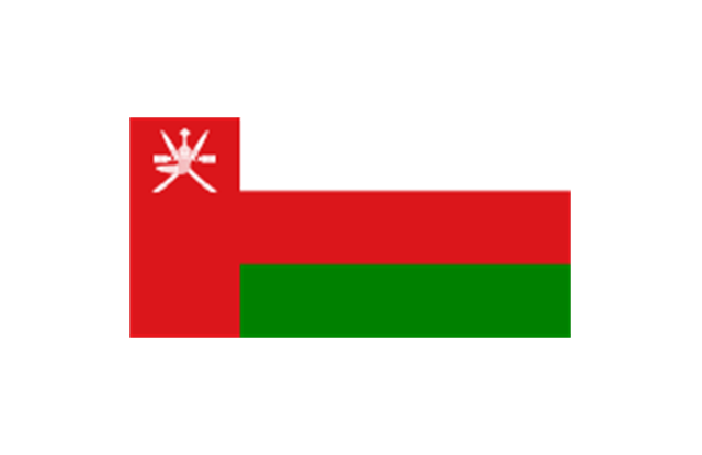
Oman

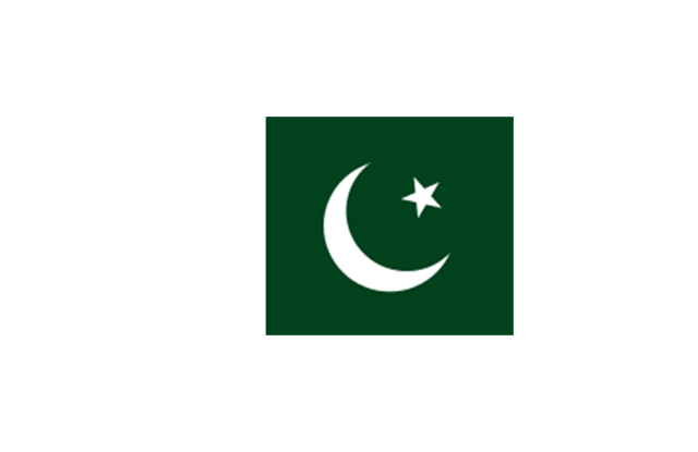
Pakistan

Papua New Guinea

Philippines

Qatar

Russia (Asia)
-asia---vector-stencils-library.png--diagram-flowchart-example.png)
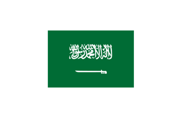
Saudi Arabia

Singapore

South Korea

Sri Lanka

Syria

Taiwan

Tajikistan

Thailand

Turkey

Turkmenistan

United Arab Emirates

Uzbekistan

Vietnam

Yemen

Aral Sea

Caspian Sea

Lake Balkhash

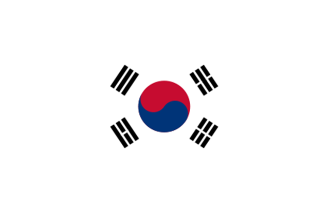
Geo Map - Asia - South Korea

The vector stencils library South Korea contains contours for ConceptDraw PRO diagramming and vector drawing software. This library is contained in the Continent Maps solution from Maps area of ConceptDraw Solution Park.
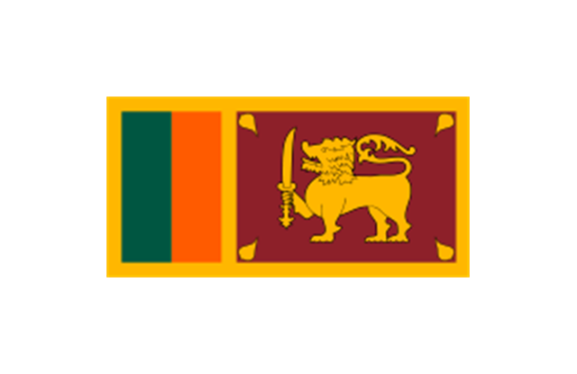
Geo Map - Asia - Sri Lanka

The vector stencils library Sri Lanka contains contours for ConceptDraw PRO diagramming and vector drawing software. This library is contained in the Continent Maps solution from Maps area of ConceptDraw Solution Park.
Use the map contours library "Asia" to design thematic maps of Asian countries using the ConceptDraw PRO diagramming and vector drawing software.
"Asia ... is the world's largest and most populous continent, located primarily in the eastern and northern hemispheres. ...
The boundaries of Asia are culturally determined, as there is no clear geographical separation between it and Europe, which together form one continuous landmass called Eurasia. The most commonly accepted boundaries place Asia to the east of the Suez Canal, the Ural River, and the Ural Mountains, and south of the Caucasus Mountains (or the Kuma–Manych Depression) and the Caspian and Black Seas. It is bounded on the east by the Pacific Ocean, on the south by the Indian Ocean and on the north by the Arctic Ocean." [Asia. Wikipedia]
The vector stencils library "Asia" contains 57 map contours: Asia state map contours, Asia political map, sea contours, lake contours.
The map contours example "Design elements - Asia" is included in the Continent Maps solution from the Maps area of ConceptDraw Solution Park.
Asia map contours

"South Asia or Southern Asia is the southern region of the Asian continent, which comprises the sub-Himalayan countries and, for some authorities, adjoining countries to the west and east. Topographically, it is dominated by the Indian Plate, which rises above sea level as northern parts of India south of the Himalayas and the Hindu Kush. South Asia is bounded on the south by the Indian Ocean and on land (clockwise, from west) by West Asia, Central Asia, East Asia, and Southeast Asia.
The current territories of Bangladesh, India, Sri Lanka and Pakistan form the core countries of South Asia, while Nepal, Bhutan and Maldives are generally included, and Afghanistan and Myanmar often added. By various deviating definitions based on often substantially different reasons, the British Indian Ocean Territory, Mauritius, Iran and the Tibet Autonomous Region are included as well. With the 7 core countries considered, South Asia is home to well over one fifth of the world's population, making it both the most populous and the most densely populated geographical region in the world. The South Asian Association for Regional Cooperation is an economic cooperation organisation in the region which was established in 1985." [South Asia. Wikipedia]
This political map sample was redesigned from the Wikimedia Commons file: South Asia (ed)update.PNG.
[commons.wikimedia.org/ wiki/ File:South_ Asia_ %28ed%29update.PNG]
The example "South Asia - Political map" was created using the ConceptDraw PRO diagramming and vector drawing software extended with the Continent Maps solution from the Maps area of ConceptDraw Solution Park.
Political map - South Asia

The vector stencils library "Asia flags" contains 49 clipart images of Asian countries state flags.
National flags of Central Asia countries: Kazakhstan, Kyrgyzstan, Tajikistan, Turkmenistan, Uzbekistan.
National flags of Eastern Asia countries: People's Republic of China, Hong Kong (China), Japan, North Korea, South Korea, Macau (China), Mongolia, Republic of China (Taiwan).
National flags of Southeast Asia countries: Brunei, Burma, Cambodia, Christmas Island (Australia), Cocos (Keeling) Islands (Australia), East Timor, Indonesia, Laos, Malaysia, Philippines, Singapore, Thailand, Vietnam.
National flags of Southern Asia countries: Bangladesh, Bhutan, British Indian Ocean Territory (United Kingdom), India, Maldives, Nepal, Pakistan, Sri Lanka.
National flags of Western Asia countries: Abkhazia, Afghanistan, Akrotiri and Dhekelia (United Kingdom), Armenia, Azerbaijan, Bahrain, Cyprus, Egypt, Georgia, Iran, Iraq, Israel, Jordan, Kuwait, Lebanon, Nagorno-Karabakh, Northern Cyprus, Oman, Palestine, Qatar, Saudi Arabia, South Ossetia, Syria, Turkey, United Arab Emirates, Yemen.
National flags of Northern Asia countries: Russia.
The clip art example "Design elements - Asia flags" was created using the ConceptDraw PRO diagramming and vector drawing software extended with the Continent Maps solution from the Maps area of ConceptDraw Solution Park.
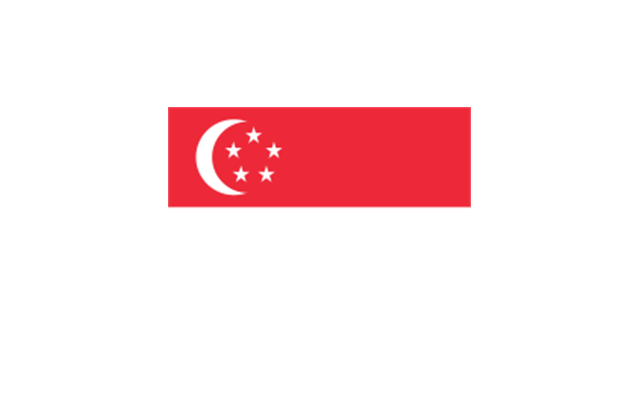
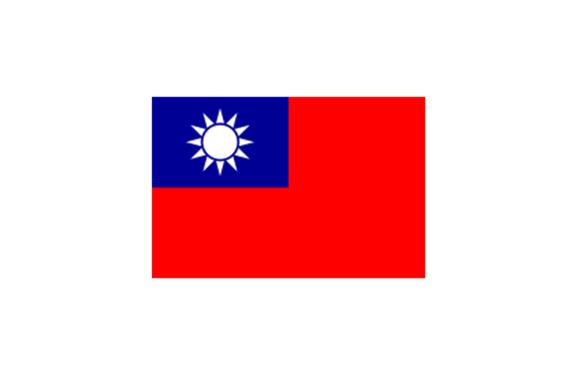
Asia state flags
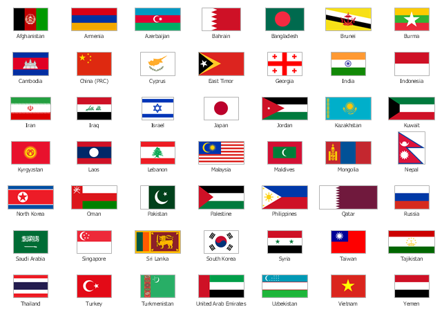
The stencils library "Asia flags" contains 49 clipart images of Asian state flags.
"... international and national flags used in Asia.
International: Flag of the Council of Europe, Flag of the Commonwealth of Independent States, Flag of the Organization of the Islamic Conference, Flag of the Organization of the Petroleum Exporting Countries, Flag of the Cooperation Council for the Arab States of the Gulf.
Central Asia: Flag of Kazakhstan, Flag of Kyrgyzstan, Flag of Tajikistan, Flag of Turkmenistan, Flag of Uzbekistan.
Eastern Asia: Flag of the People's Republic of China, Flag of Hong Kong (China), Flag of Japan, Flag of North Korea, Flag of South Korea, Flag of Macau (China), Flag of Mongolia, Flag of the Republic of China (Taiwan).
Southeast Asia: Flag of Brunei, Flag of Burma, Flag of Cambodia, Flag of Christmas Island (Australia), Flag of the Cocos (Keeling) Islands (Australia), Flag of East Timor, Flag of Indonesia, Flag of Laos, Flag of Malaysia, Flag of the Philippines, Flag of Singapore, Flag of Thailand, Flag of Vietnam.
Southern Asia: Flag of Bangladesh, Flag of Bhutan, Flag of the British Indian Ocean Territory (United Kingdom), Flag of India, Flag of Maldives, Flag of Nepal, Flag of Pakistan, Flag of Sri Lanka.
Western Asia: Flag of Abkhazia, Flag of Afghanistan, Flag of Akrotiri and Dhekelia (United Kingdom), Flag of Armenia, Flag of Azerbaijan, Flag of Bahrain, Flag of Cyprus, Flag of Egypt, Flag of Georgia, Flag of Iran, Flag of Iraq, Flag of Israel, Flag of Jordan, Flag of Kuwait, Flag of Lebanon, Flag of Nagorno-Karabakh, Flag of Northern Cyprus, Flag of Oman, Flag of Palestine, Flag of Qatar, Flag of Saudi Arabia, Flag of South Ossetia, Flag of Syria, Flag of Turkey, Flag of the United Arab Emirates, Flag of Yemen.
Northern Asia: Flag of Russia." [Flags of Asia. Wikipedia]
The clip art example "Asia flags - Stencils library" was created using the ConceptDraw PRO diagramming and vector drawing software extended with the Continent Maps solution from the Maps area of ConceptDraw Solution Park.
www.conceptdraw.com/ solution-park/ maps-continent
Afghanistan
Armenia
Azerbaijan
Bahrain
Bangladesh
Brunei
Burma
Cambodia
China (PRC)
-asia-flags---stencils-library.png--diagram-flowchart-example.png)
Cyprus

East Timor
Georgia
India
Indonesia

Iran
Iraq

Israel
Japan
Jordan
Kazakhstan
Kuwait
Kyrgyzstan
Laos
Lebanon
Malaysia
Maldives
Mongolia

Nepal
North Korea
Oman
Pakistan
Palestine
Philippines
Qatar

Russia
Saudi Arabia
Singapore
Sri Lanka
South Korea
Syria

Taiwan
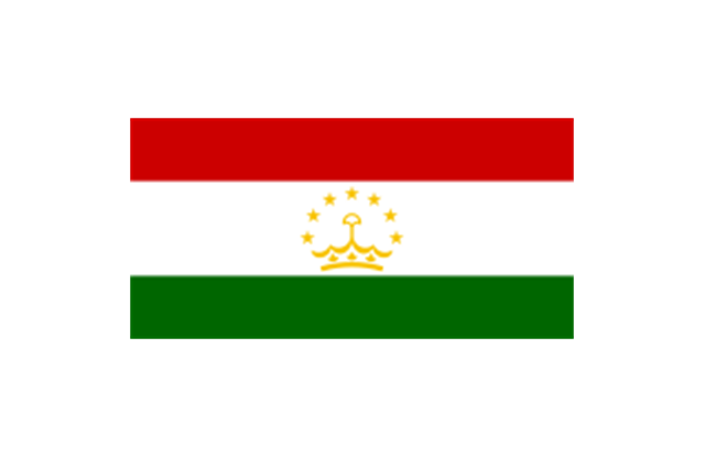
Tajikistan
Thailand

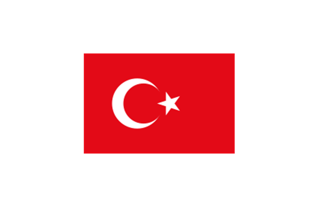
Turkey
Turkmenistan

United Arab Emirates

Uzbekistan

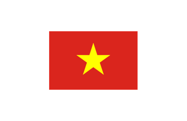
Vietnam
Yemen

Geo Map - Asia - Mongolia

The vector stencils library Mongolia contains contours for ConceptDraw PRO diagramming and vector drawing software. This library is contained in the Continent Maps solution from Maps area of ConceptDraw Solution Park.
"Central Asia is the core region of the Asian continent and stretches from the Caspian Sea in the west to China in the east and from Afghanistan in the south to Russia in the north. It is also sometimes referred to as Middle Asia, and, colloquially, "the 'stans" (as the six countries generally considered to be within the region all have names ending with the Persian suffix "-stan", meaning "land of") and is within the scope of the wider Eurasian continent.
In modern contexts, all definitions of Central Asia include these five republics of the former Soviet Union: Kazakhstan (pop. 17.9 million), Kyrgyzstan (5.8 million), Tajikistan (8.0 million), Turkmenistan (5.2 million), and Uzbekistan (30.2 million), for a total population of 67.1 million as of 2013-2014. Afghanistan (pop. 31.1 million) is also sometimes included." [Central Asia. Wikipedia]
"The Caucasus / ˈkɔːkəsəs/ or Caucasia / kɔːˈkeɪʒə/ (for endonyms, see below), is a region at the border of Europe and Asia, situated between the Black and the Caspian seas. It is home to the Caucasus Mountains, which contain Europe's highest mountain, Mount Elbrus. Politically, the Caucasus region is separated between northern and southern parts. The southern parts consist of independent sovereign states: Abkhazia, Armenia, Azerbaijan, Georgia, Nagorno-Karabakh, South Ossetia, Turkey (part), Iran (part). The northern parts are under the jurisdiction of the Russian Federation." [Caucasus. Wikipedia]
This political map sample was redesigned from the Wikimedia Commons file: Caucasus central asia political map 2000.jpg. [commons.wikimedia.org/ wiki/ File:Caucasus_ central_ asia_ political_ map_ 2000.jpg]
The example "Caucasus and Central Asia 2000 - Political map" was created using the ConceptDraw PRO diagramming and vector drawing software extended with the Continent Maps solution from the Maps area of ConceptDraw Solution Park.
Political map - Caucasus and Central Asia 2000
- North Asia - Political map | Geo Map - Asia | Southeast Asia ...
- Asia Drawing Map Png
- Geo Map - Asia | South Asia - Political map | North Asia - Political ...
- Geo Map - Asia - Vietnam | North Asia - Political map | Asia - Vector ...
- Asia Continent Map
- Asia | Continent Maps
- Asia map with capitals - Template | Continent Maps | Geo Map - Asia ...
- Geo Map - Asia | Central Asia - Political map | Continent Maps ...
- Central Asia - Political map
- Continent Maps | Geo Map - Asia | Central Asia - Political map ...
- Southeast Asia - Political map | Asia - Vector stencils library | Geo ...
- Design elements - Asia | Geo Map - Asia | Continent Maps | Asian ...
- Geo Map - Asia - Nepal | Asia flags - Stencils library | Asia - Vector ...
- Geo Map - Asia | Asia - Vector stencils library | South Asia - Political ...
- Southeast Asia - Political map | Geo Map - Asia | Asia - Vector ...
- Asia flags - Stencils library | Southeast Asia - Political map | Asia ...
- Geo Map - Asia - Thailand | Asia - Vector stencils library | Asia ...
- Geo Map - Asia - Pakistan | Asia flags - Stencils library | Asia flags ...
- Asia flags - Stencils library | Design elements - Asia flags | Geo Map ...
- Asia flags - Stencils library | Design elements - Asia flags ...