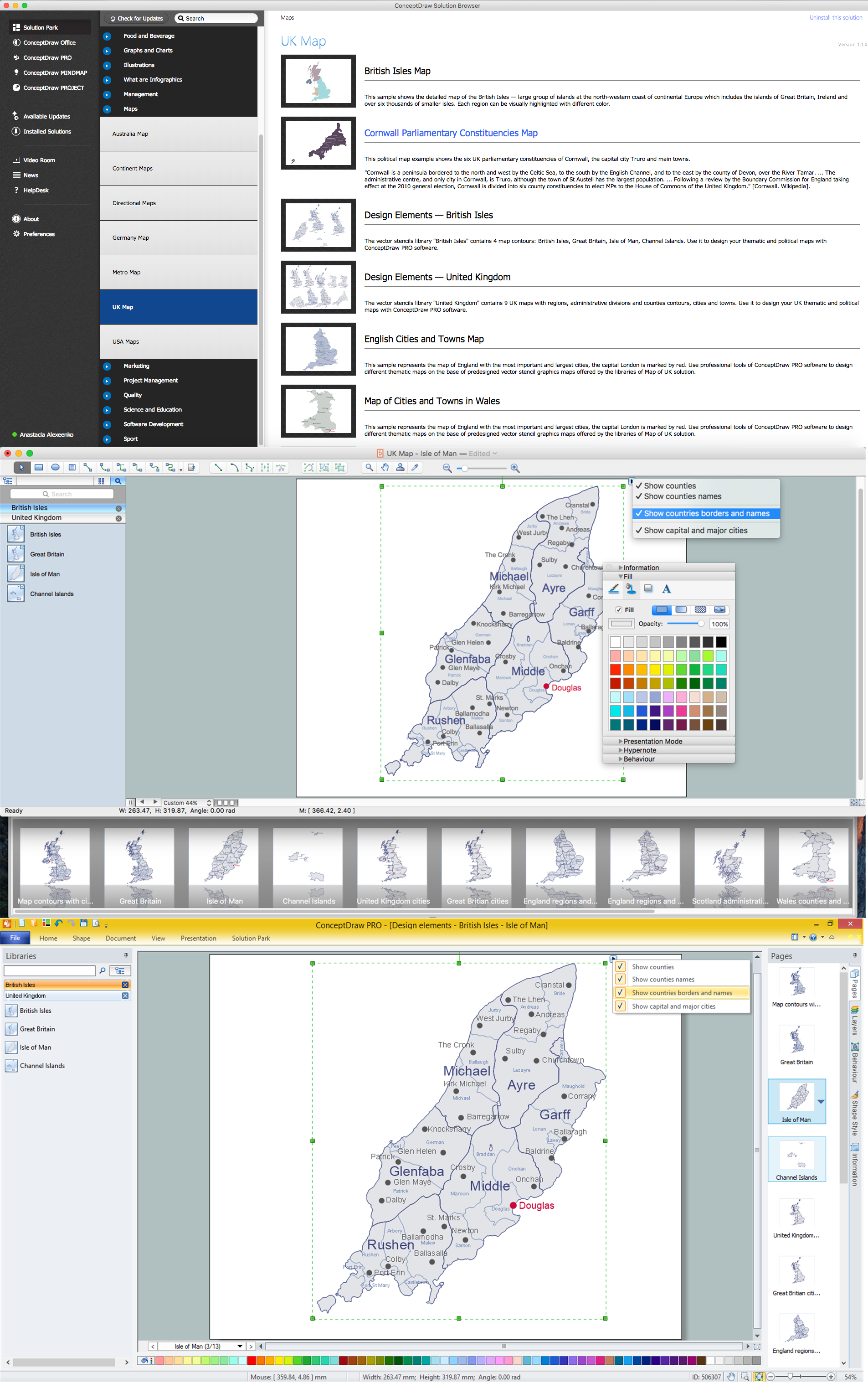
Map of UK — Isle of Man
The Isle of Man, also known simply as Mann, is a self-governing Crown dependency in the Irish Sea between Great Britain and Ireland.How to design the Map of UK fast and easy? It is incredibly convenient to use special software. ConceptDraw PRO diagramming and vector drawing software offers the Map of UK Solution from the Maps Area of ConceptDraw Solution Park specially developed to make easier drawing the maps of UK counties, various UK related thematic maps and cartograms on their base.
 UK Map
The Map of UK solution contains collection of professionally designed samples and scalable vector stencil graphics maps, representing the United Kingdom counties, regions and cities. Use the Map of UK solution from ConceptDraw Solution Park as the base fo
UK Map
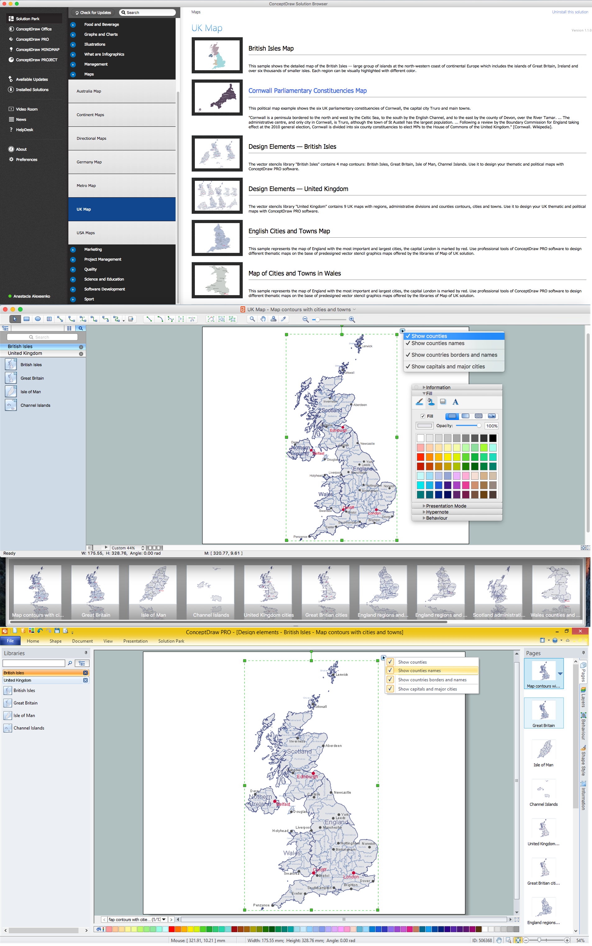
The United Kingdom of Great Britain and Northern Ireland, commonly known as the United Kingdom (UK), is a sovereign state in Europe which consists of four countries: England, Scotland, Wales, and Northern Ireland. UK is surrounded by the waters of Atlantic ocean, the North Sea, the English Channel, and the Irish Sea and includes large number of big and small islands.ConceptDraw PRO diagramming and vector drawing software offers the unique Map of UK Solution from the Maps Area of ConceptDraw Solution Park that is indispensable for easy drawing professional looking map of UK, UK counties map, UK map with cities, map of Scotland, map of England, map of Wales, Northern Ireland map.
Contours Map of UK
The United Kingdom of Great Britain and Northern Ireland, commonly known as the United Kingdom (UK) or Britain, is a sovereign state in Europe.How to design the Map of UK fast and easy? It is incredibly convenient to use special software. ConceptDraw PRO diagramming and vector drawing software offers the Map of UK Solution from the Maps Area of ConceptDraw Solution Park specially developed to make easier drawing the maps of UK counties, various UK related thematic maps and cartograms on their base.
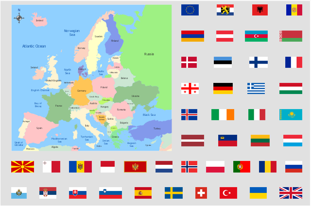
"Alphabetical list of subregions in the United Nations geoscheme for Europe.
Eastern Europe: Belarus, Bulgaria, Czech Republic, Hungary, Moldova, Poland, Romania, Russia, Slovakia, Ukraine.
Northern Europe: Åland Islands, Denmark, Estonia, Faroe Islands, Finland, Guernsey, Iceland, Ireland, Isle of Man, Jersey, Latvia, Lithuania, Norway, Svalbard and Jan Mayen, Sweden, United Kingdom.
Southern Europe: Albania, Andorra, Bosnia and Herzegovina, Croatia, Gibraltar, Greece, Italy, Malta, Montenegro, Portugal, Macedonia, San Marino, Serbia, Slovenia, Spain, Vatican City.
Western Europe: Austria, Belgium, France, Germany, Liechtenstein, Luxembourg, Monaco, Netherlands, Switzerland." [United Nations geoscheme for Europe. Wikipedia]
The example "Political map of Europe" illustrated with European state flags was created using the ConceptDraw PRO diagramming and vector drawing software extended with the Continent Maps solution from the Maps area of ConceptDraw Solution Park.
- UK Map | Map Of The Isle Of Man Sheadings And Parishes
- British Isles Map
- Vector Map of Germany | MTA Subway Map | Value Stream Mapping ...
- UK Map | Map of England | United Kingdom Cities | England Map Of ...
- How to Draw a Map of North America Using ConceptDraw PRO ...
- Geo Map - Europe - United Kingdom | Political map of Europe | Map ...
- How To Draw Map Of Philippines
- Political Map Of Spain
- Political map of Europe | Geo Map - Europe - United Kingdom | Map ...
- 3D pictorial road map | 2D Directional map - Template | Directions ...
- Political map of Europe | Geo Map - Europe - United Kingdom | Geo ...
- UK Map | How to Create a Map Depicting the United Kingdom ...
- Geo Map - Europe - Ireland | Map of UK — Northern Ireland ...
- Continent Maps | Map of England | Geo Map - Europe - Bosnia and ...
- Political map of Europe
- Map Of Europe
- Continent Maps | Political map of Europe | Geo Map - Europe ...
- Building Drawing Software for Designing Plumbing | Workflow ...
- Business Process Flowchart Symbols | Accounting Flowcharts ...
- Europe France On Map


