Geo Map - Africa

"East Africa or Eastern Africa is the easterly region of the African continent, variably defined by geography or geopolitics. In the UN scheme of geographic regions, 20 territories constitute Eastern Africa:
- Tanzania, Kenya, Uganda, Rwanda and Burundi – in Southeast Africa included in the African Great Lakes region and are members of the East African Community (EAC). Burundi and Rwanda are sometimes considered part of Central Africa.
- Djibouti, Eritrea, Ethiopia and Somalia – collectively known as the Horn of Africa.
- Mozambique and Madagascar – often considered part of Southern Africa. Madagascar has close cultural ties to Southeast Asia and the islands of the Indian Ocean.
- Malawi, Zambia and Zimbabwe – often included in Southern Africa, and formerly of the Central African Federation.
- Comoros, Mauritius and Seychelles – small island nations in the Indian Ocean.
- Réunion and Mayotte – French overseas territories also in the Indian Ocean.
- South Sudan – newly independent from Sudan." [East Africa. Wikipedia]
South Sudan has become independent on July 9, 2011. Sudan and South Sudan are shown with the new international border between them.
This East Africa political map was redesigned using the ConceptDraw PRO diagrammin and vector drawing software from the Wikimedia Commons file: Afryka Wschodnia.png.
[commons.wikimedia.org/ wiki/ File:Afryka_ Wschodnia.png]
The example "East Africa - Political map" is included in the Continent Maps solution from the Maps area of ConceptDraw Solution Park.
Political map - East Africa

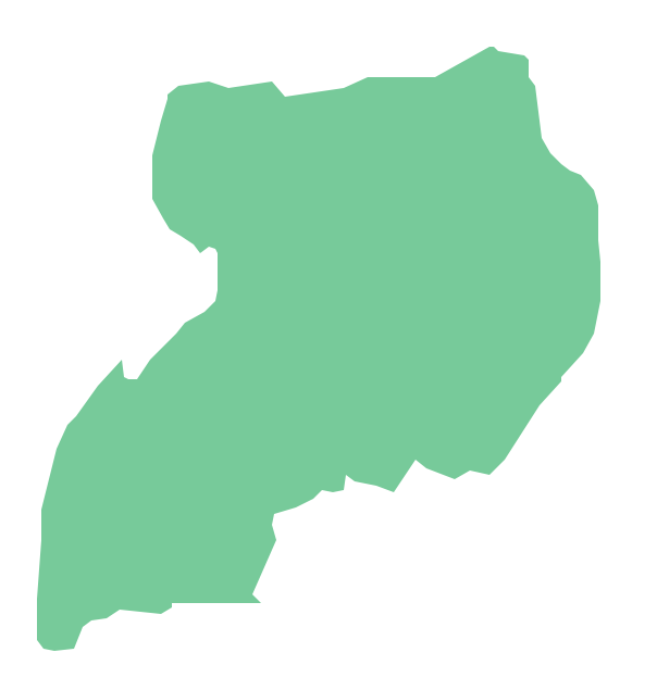
Geo Map - Africa - Uganda
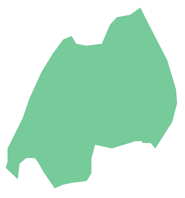
Geo Map - Africa - Rwanda
Geo Map — Africa — Tanzania

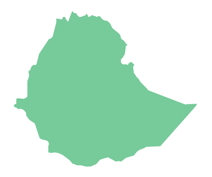
Geo Map - Africa - Ethiopia
Geo Map - Africa - Gambia

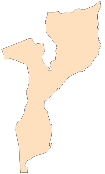
Geo Map - Africa - Mozambique
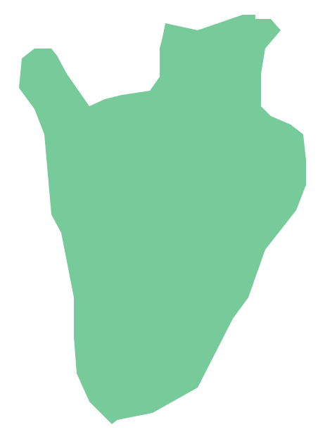
Geo Map - Africa - Burundi
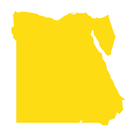
Geo Map - Africa - Egypt
- Drawing Of A Map Of East Africa
- East Africa - Political map | West Africa countries | Geo Map - Africa ...
- High Quality Map Of Africa Png
- Geo Map - Africa
- Political Map Of East Africa Diaram
- Geo Map - Africa - Ethiopia | African country flags - Vector stencils ...
- Diagram Of East Africa Map And Its Countries
- How To Draw Eastern Africa Map
- East Africa - Political map
- East Africa Contour Map