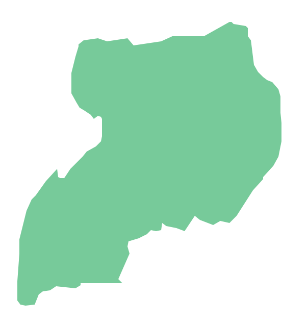
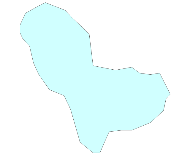
Geo Map - Africa - Uganda
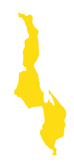
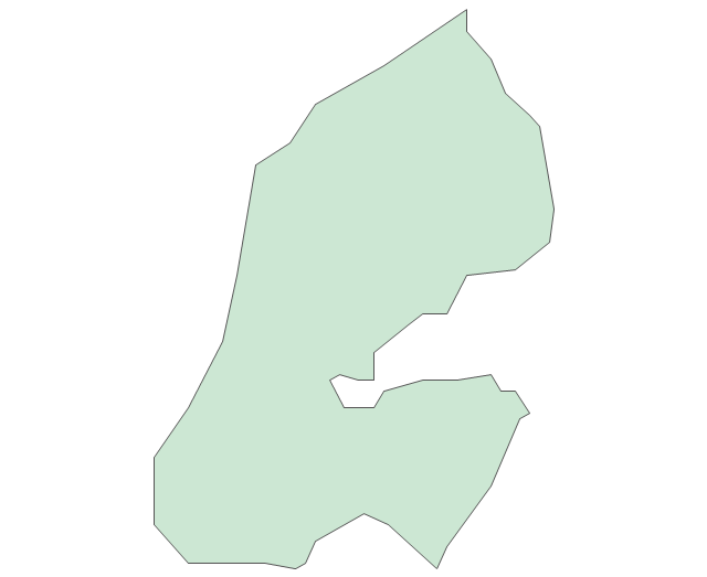
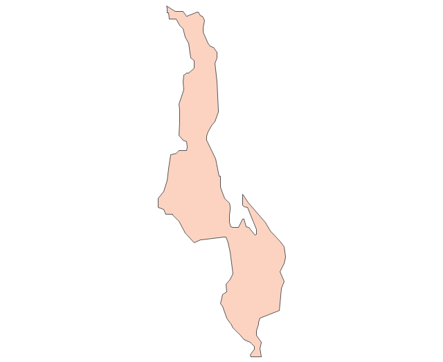
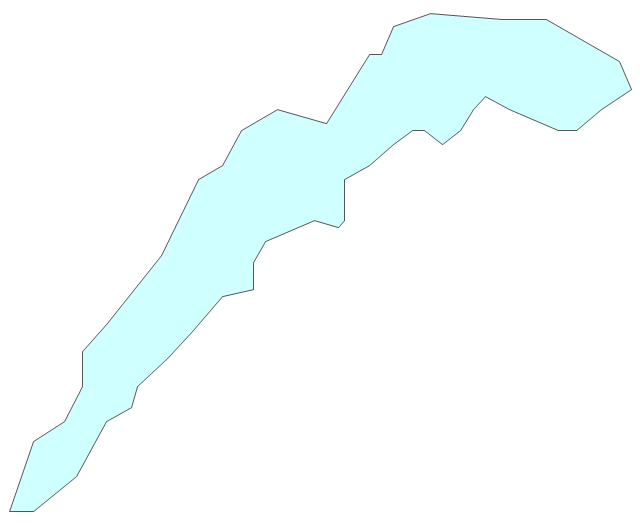
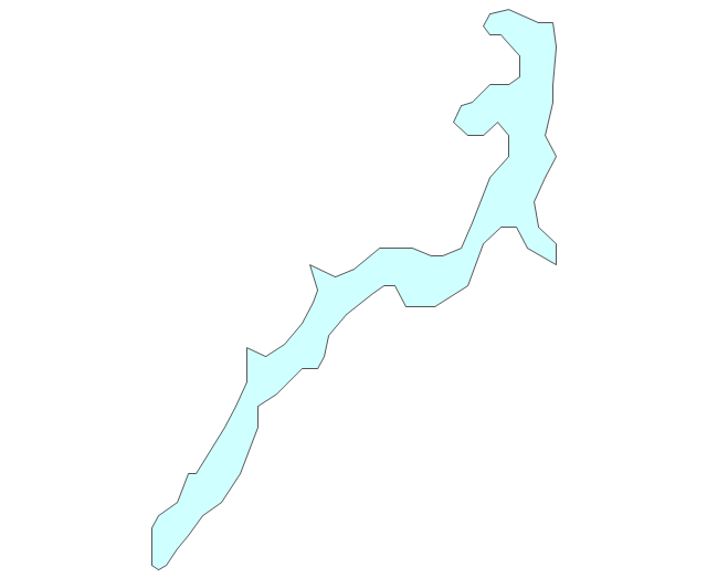
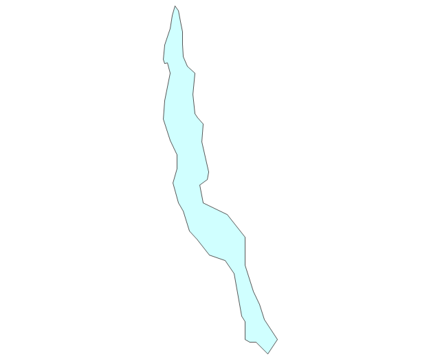
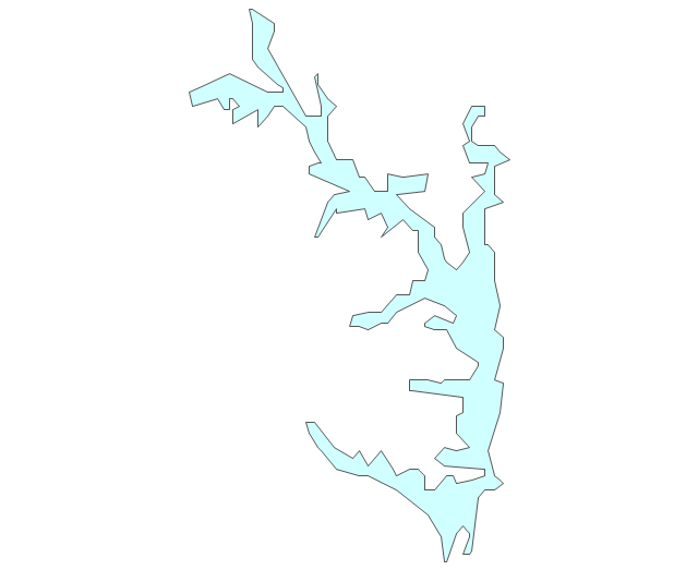
Geo Map - Africa - Malawi
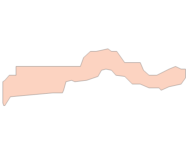
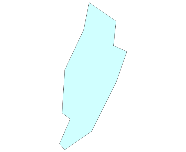
Geo Map — USA — Wisconsin

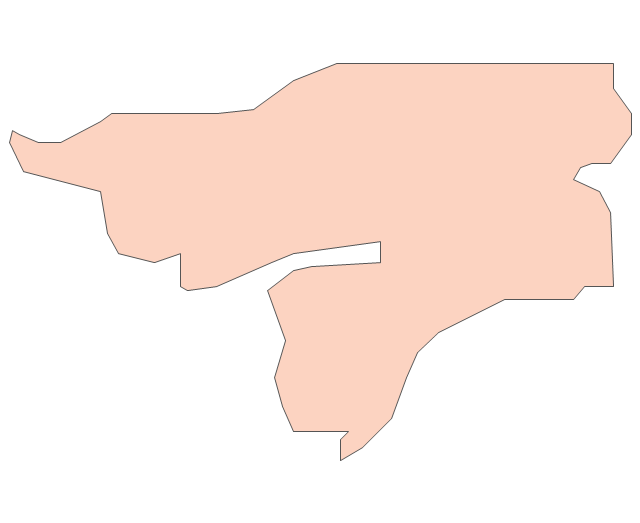
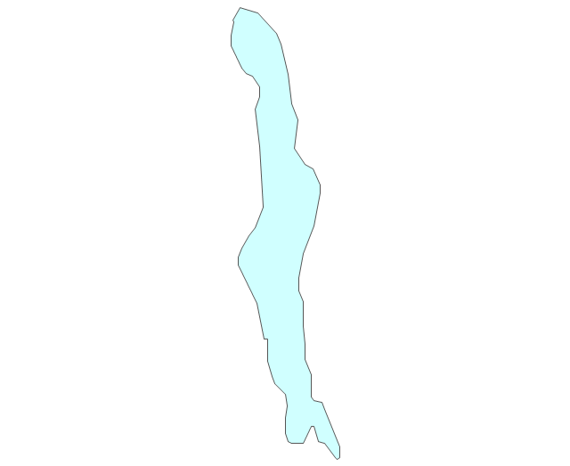
Geo Map - South America - Nicaragua

The vector stencils library "Africa" contains 62 country map contours for drawing thematic maps of Africa. Use it for visual representation of geospatial information, statistics and quantitative data.
"Africa is the world's second-largest and second-most-populous continent. ...
The continent includes Madagascar and various archipelagoes. It has 54 fully recognized sovereign states ("countries"), nine territories and two de facto independent states with limited or no recognition." [Africa. Wikipedia]
The map contours example "Africa - Vector stencils library" was created using the ConceptDraw PRO diagramming and vector drawing software extended with the Continent Maps solution from the Maps area of ConceptDraw Solution Park.
Africa
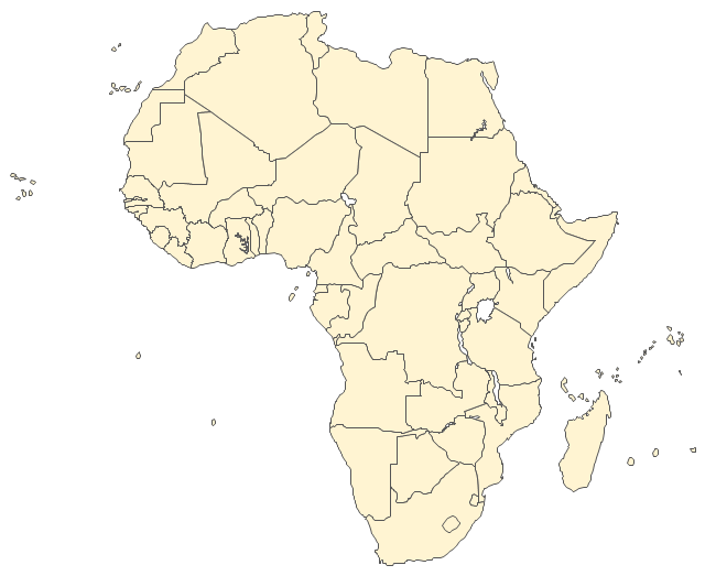
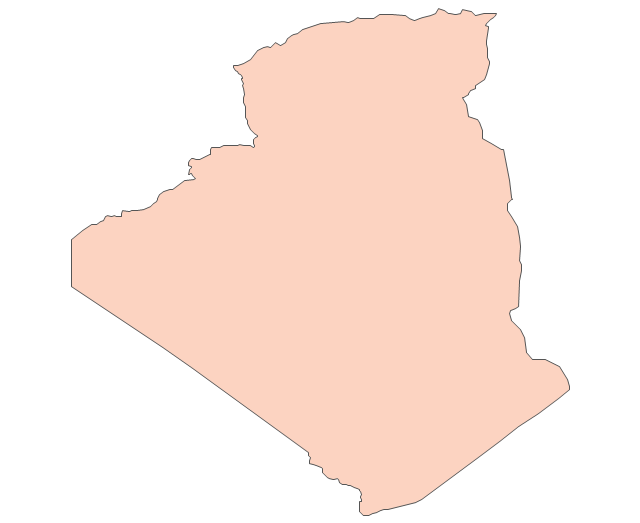
Algeria
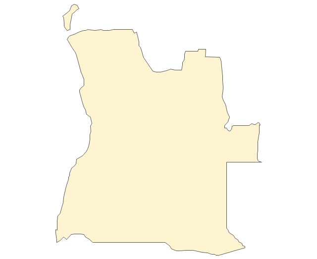
Angola
Benin
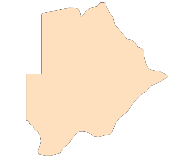
Botswana
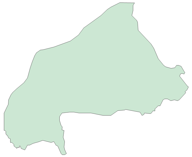
Burkina Faso
Burundi
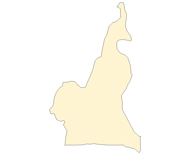
Cameroon
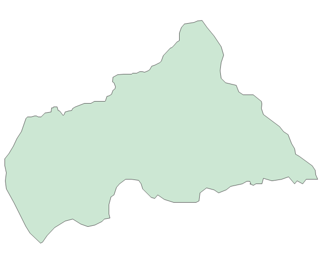
Central African Republic
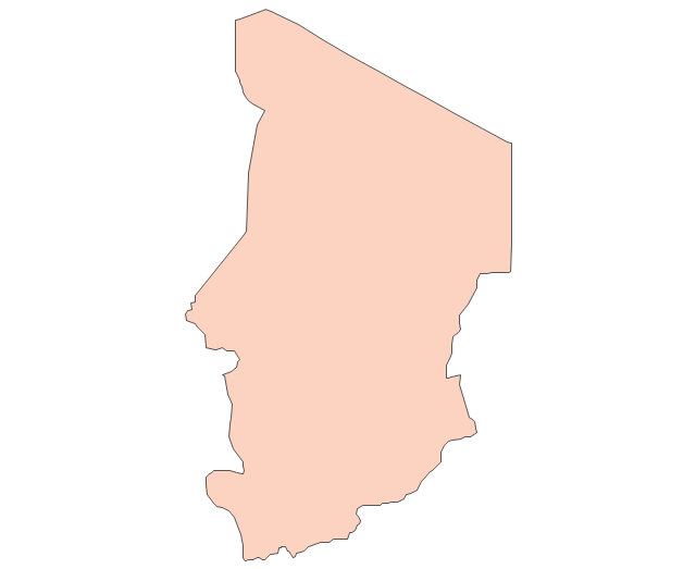
Chad
Republic of the Congo
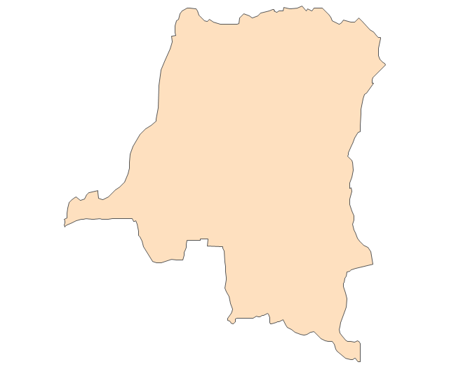
Democratic Republic of the Congo
Ivory Coast (Cote d'Ivoire)
-africa---vector-stencils-library.png--diagram-flowchart-example.png)
Djibouti
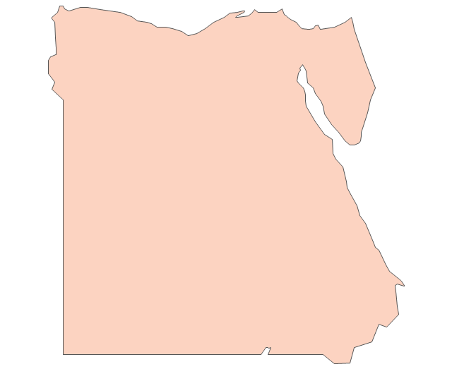
Egypt
Equatorial Guinea
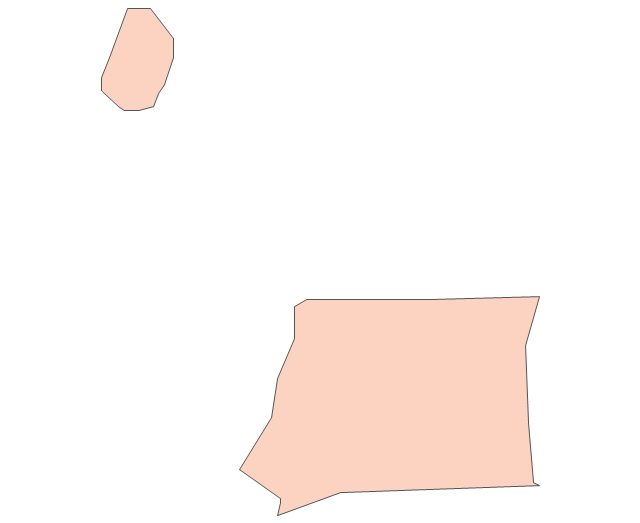
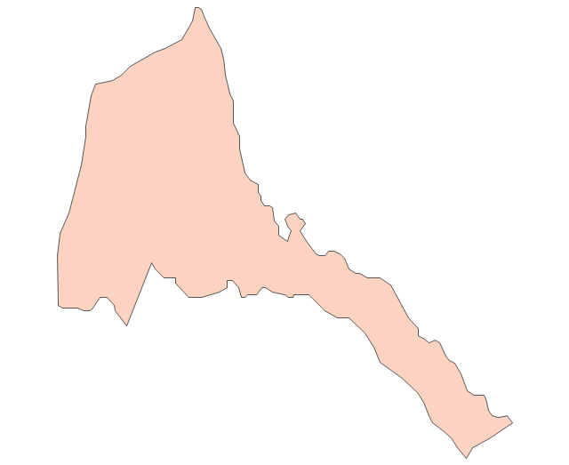
Eritrea
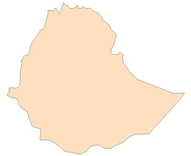
Ethiopia
Gabon
Gambia
Ghana
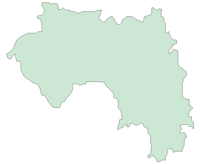
Guinea
Guinea-Bissau
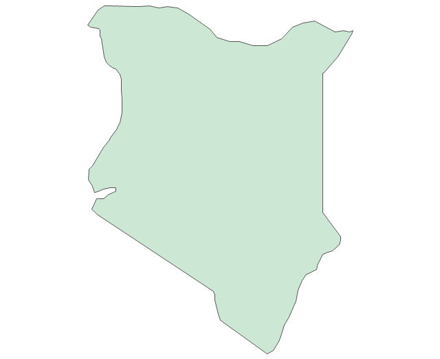
Kenya
Lesotho
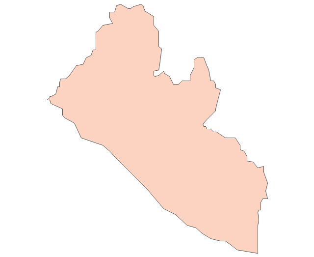
Liberia
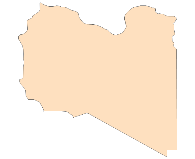
Libya
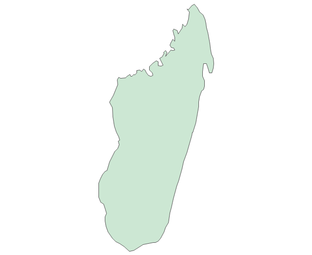
Madagascar
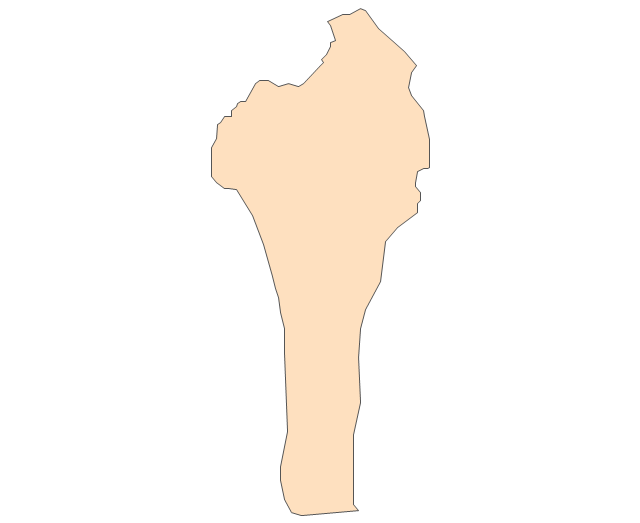
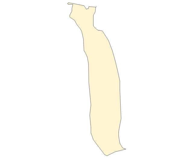
Malawi
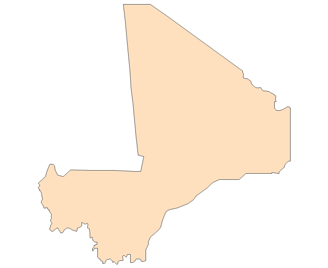
Mali
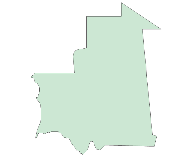
Mauritania
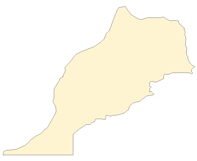
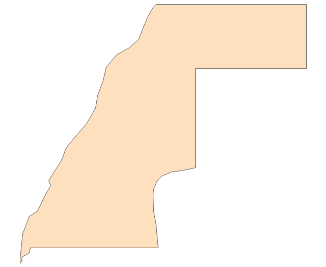
Morocco
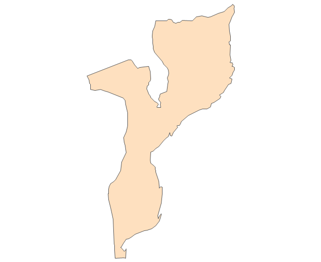
Mozambique
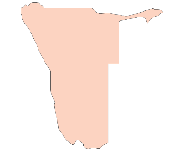
Namibia
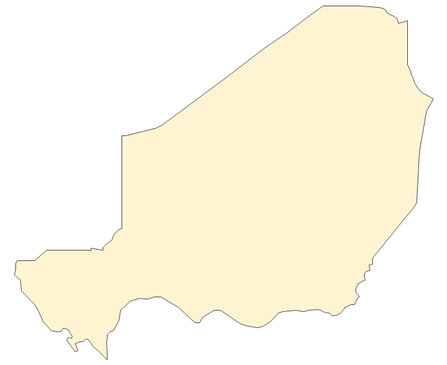
Niger
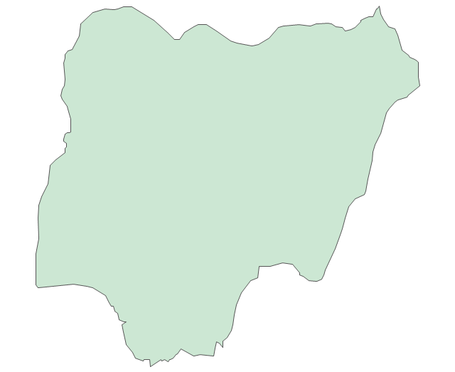
Nigeria
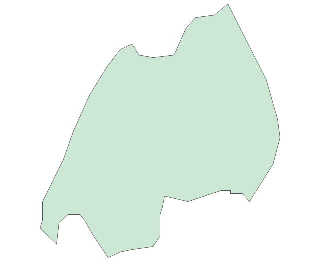
Rwanda
Senegal

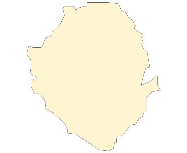
Sierra Leone
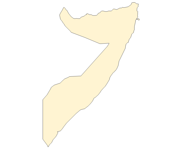
Somalia
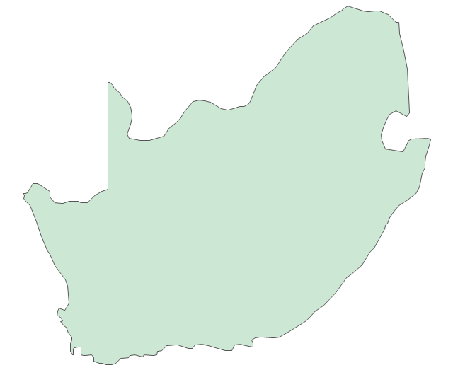
South Africa
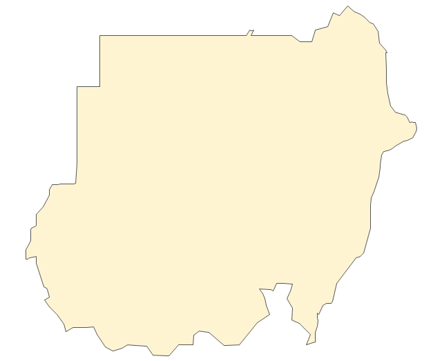
Sudan
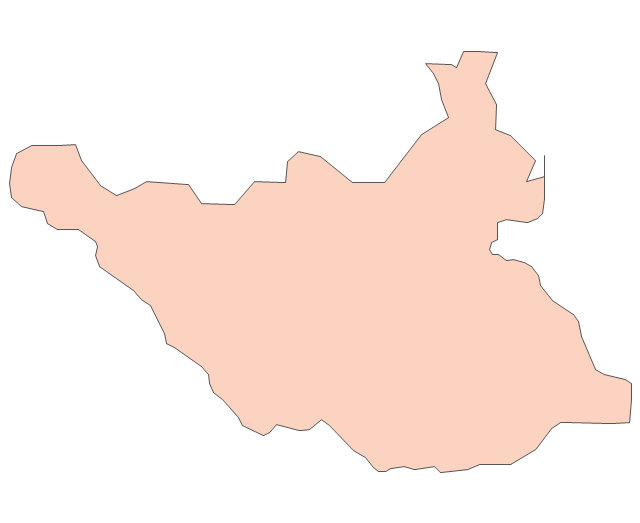
South Sudan
Swaziland
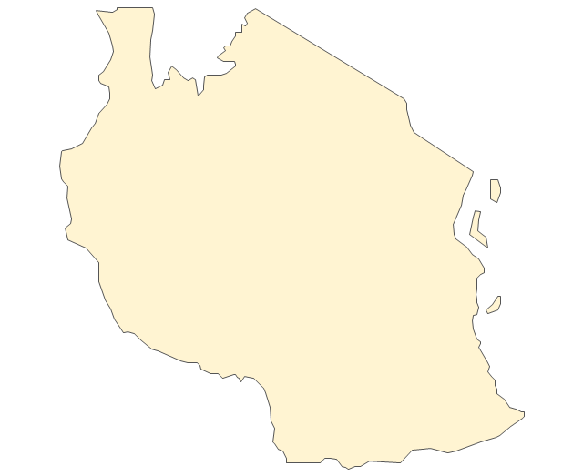
Tanzania
Togo
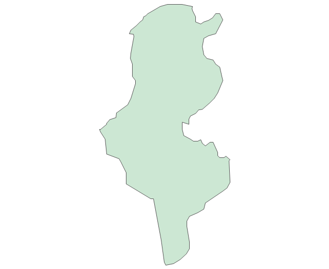
Tunisia
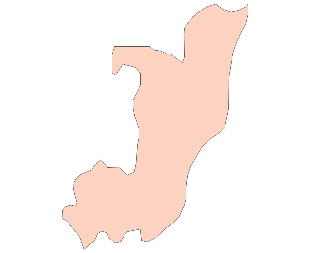
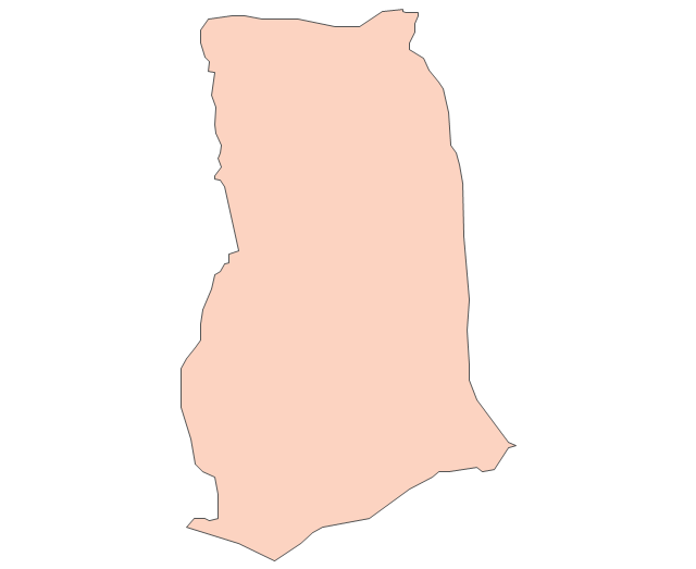
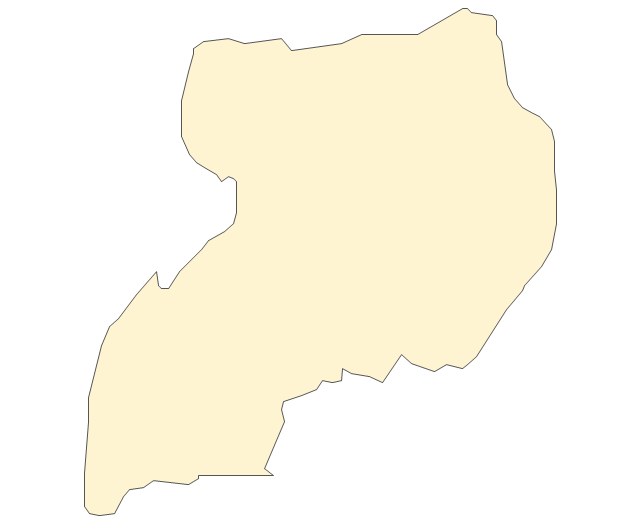
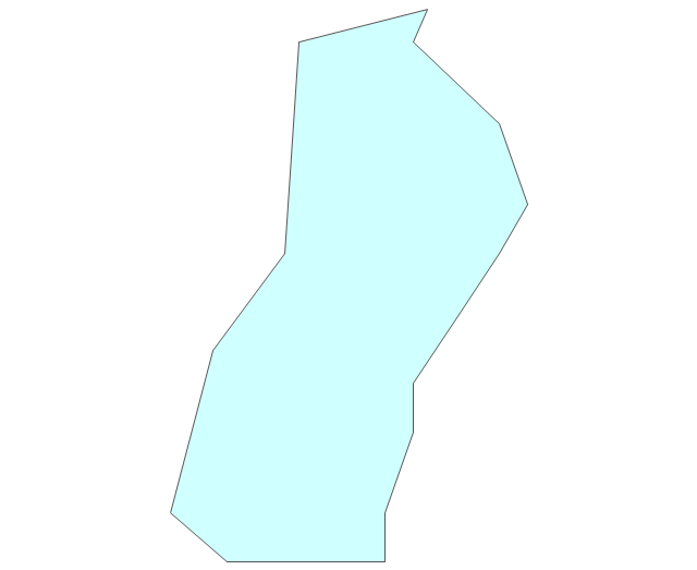
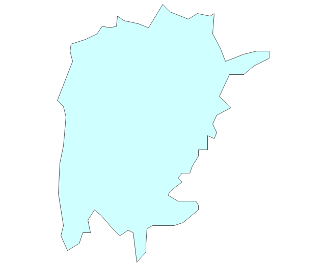
Uganda
Western Sahara
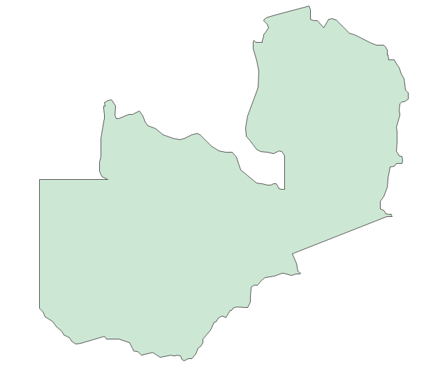
Zambia
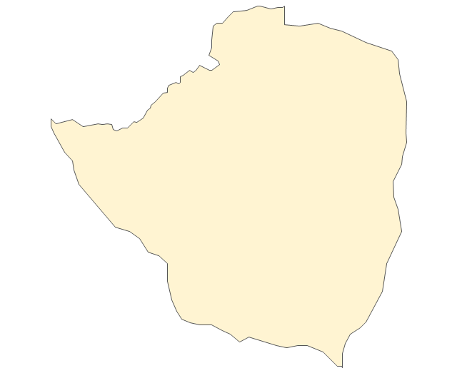
Zimbabwe
Lake Albert
Lake Chad
Lake Kariba
Lake Kivu
Lake Malawi
Lake Mweru
Lake Nasser
Lake Tanganyika
Lake Turkana
Lake Victoria
Lake Volta
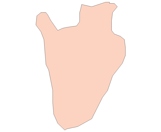
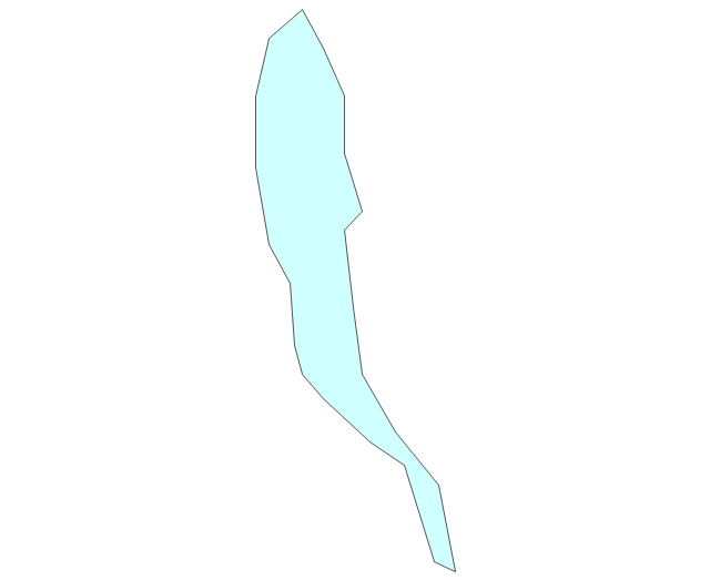
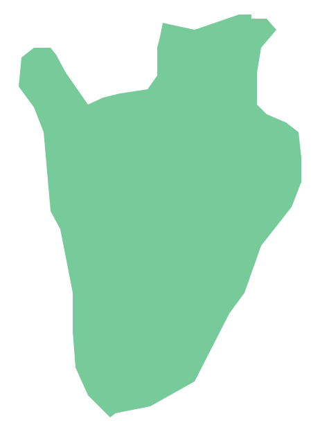
Geo Map - Africa - Burundi
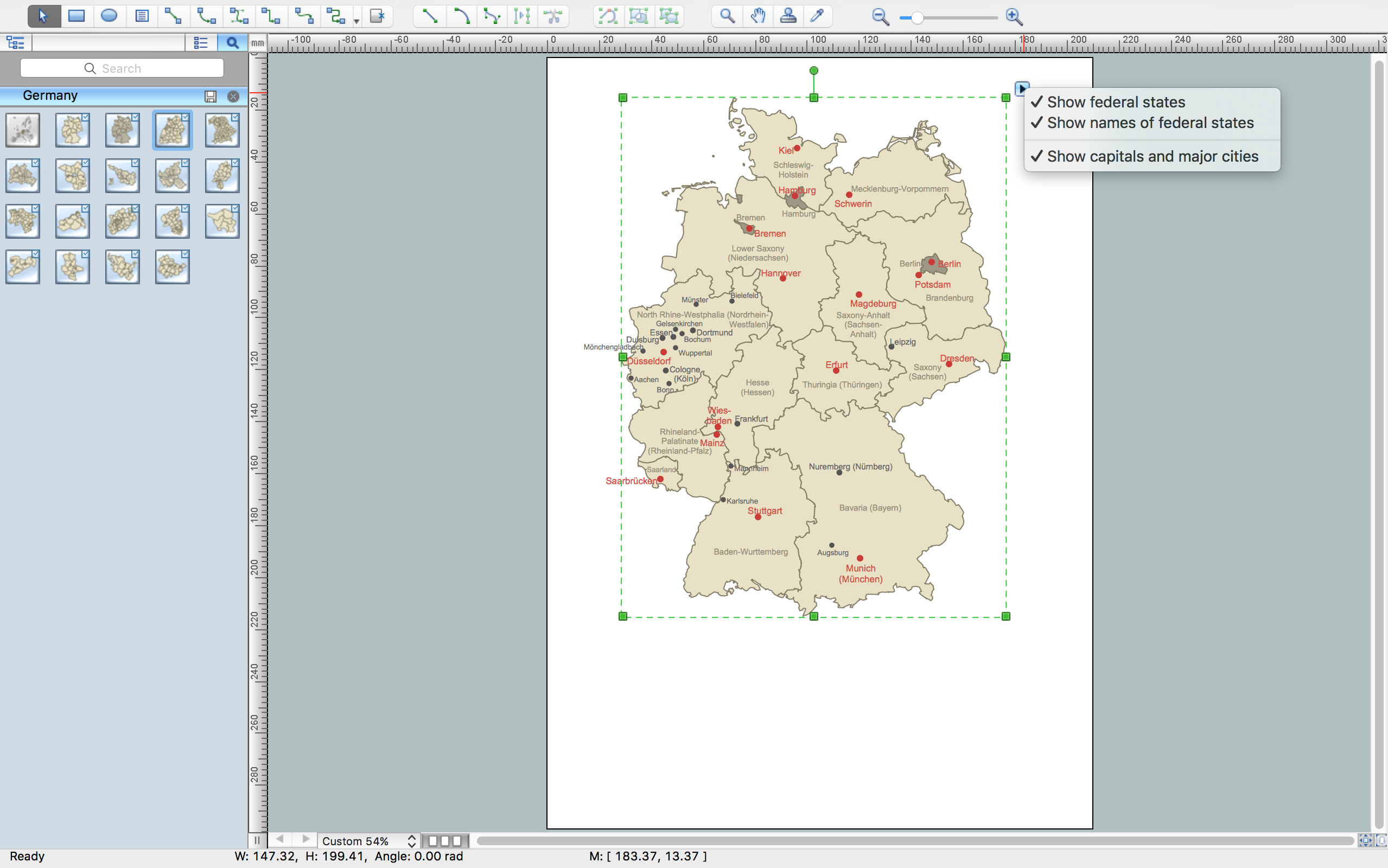
Germany Map
Geo Map — USA — Michigan

The vector stencils library "Geography" contains 14 clipart images of natural landscapes and water features for drawing illustrations.
"A natural landscape is a landscape that is unaffected by human activity. A natural landscape is intact when all living and nonliving elements are free to move and change. The nonliving elements distinguish a natural landscape from a wilderness. A wilderness includes areas within which natural processes operate without human interference, but a wilderness must contain life. As implied, a natural landscape may contain either the living or nonliving or both." [Natural landscape. Wikipedia]
The clip art example "Geography - Vector stencils library" was created using the ConceptDraw PRO diagramming and vector drawing software extended with the Nature solution from the Illustration area of ConceptDraw Solution Park.
www.conceptdraw.com/ solution-park/ illustrations-nature
Ocean

Forest

River

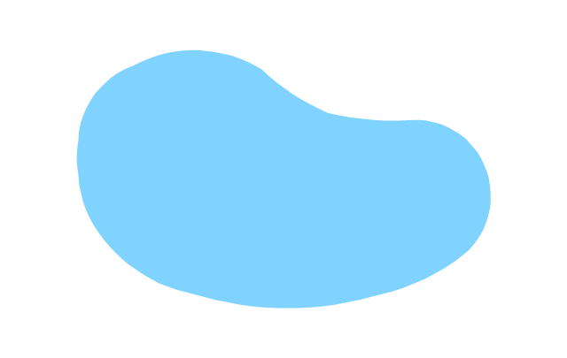
Lake

Waterfall

Mountains

Mountain

Ravine

Volcano

Desert

Hills

Iceberg

Conifer tree

Tree

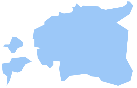
Geo Map - Europe - Estonia
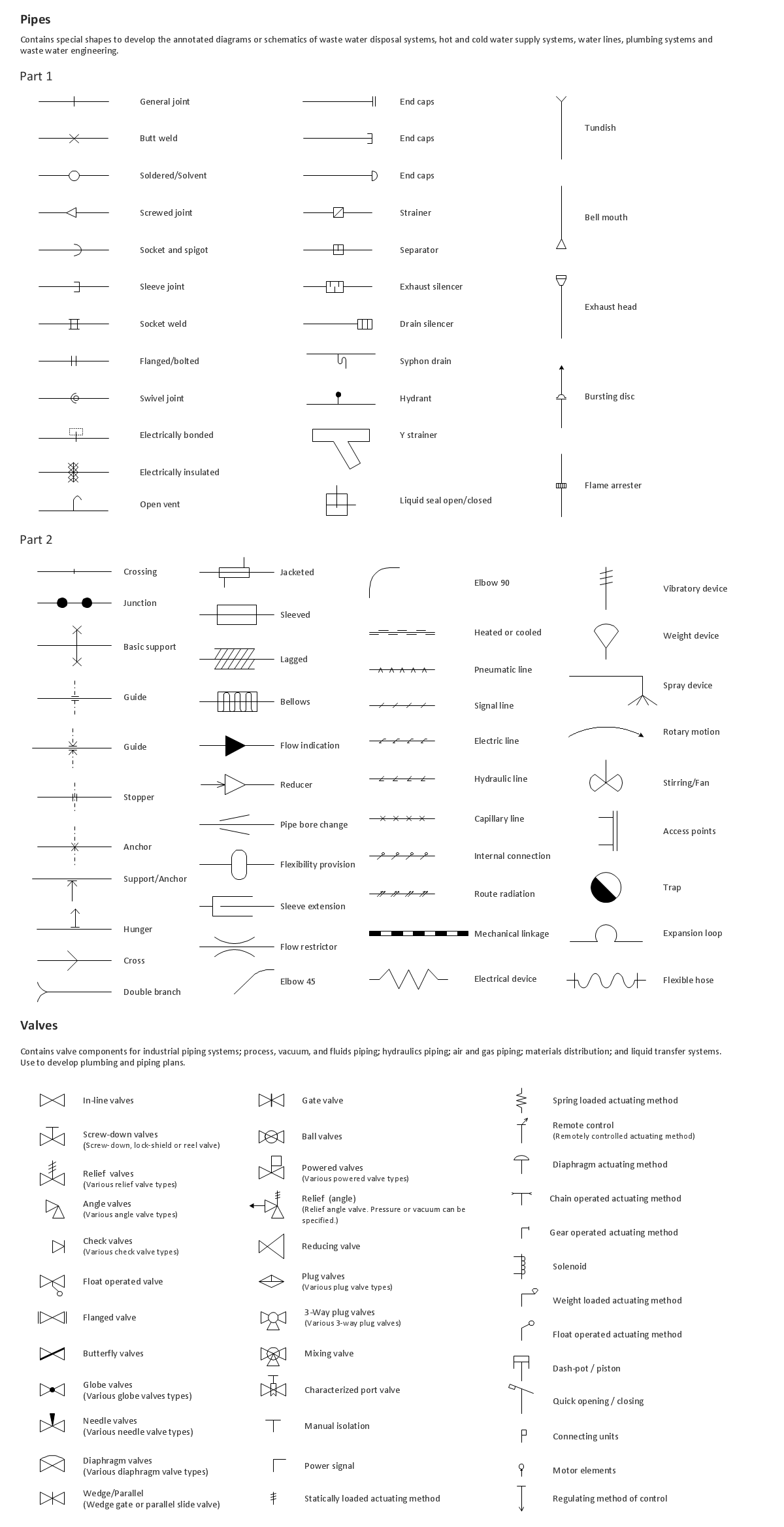
Building Drawing. Design Element: Piping Plan

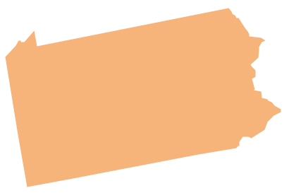
Geo Map - USA - Pennsylvania
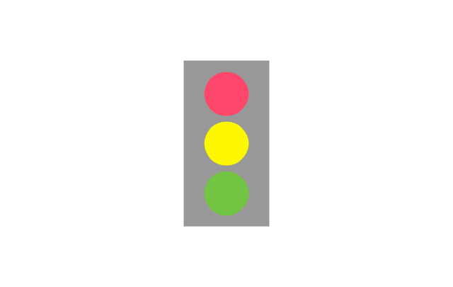
The vector stencils library "Landmarks" contains 34 landmark symbols.
Use it to mark maps for spatial infographics in the ConceptDraw PRO diagramming and vector drawing software extended with the Spatial Infographics solution from the area "What is Infographics" of ConceptDraw Solution Park.
Use it to mark maps for spatial infographics in the ConceptDraw PRO diagramming and vector drawing software extended with the Spatial Infographics solution from the area "What is Infographics" of ConceptDraw Solution Park.
Airport

Skyscraper

City

Building 1

Building 2

House 1

House 2

Factory

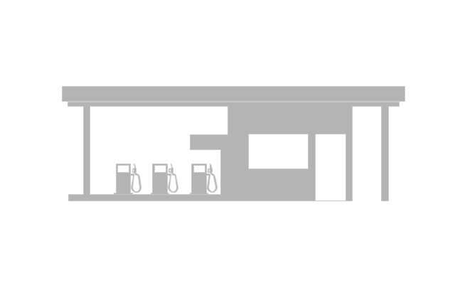
Petrol Station
Fire Station

Hospital

Town Hall

Cathedral

Shopping Centre

Convenience Store

Park

Traffic Light
Bus 1

Bus 2

Tram 1

Tram 2

Train

Train/Tram

Car 1

Car 2

Car 3

Bicycle

Ferry/Boat

Airplane

Funicular

Ropeway/Cableway

River
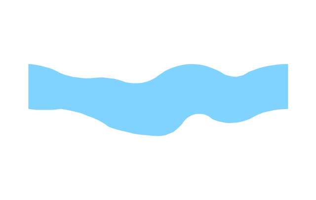
Lake
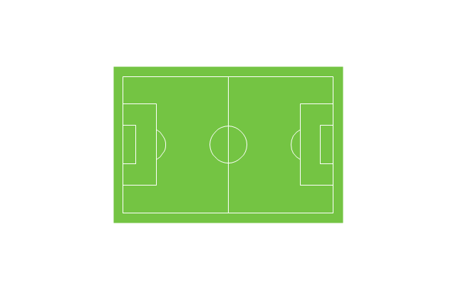
Stadium
The vector clipart library Geography contains 14 images of geographical features: ocean, forest, river, lake, waterfall, mountains, ravine, volcano, desert, hills, iceberg, trees.
Use the design elements library Geography to draw illustrations with landform images using the ConceptDraw PRO diagramming and vector drawing software.
"A landform in the earth sciences comprises a geomorphological unit, and is largely defined by its surface form and location in the landscape. As part of the terrain a landform is an element of topography. Landform elements also include land such as hills, mountains, plateaus,canyons,valleys, seascape and oceanic waterbody interface features such as bays, peninsulas, seas and so forth, including sub-aqueous terrain features such as mid-ocean ridges, volcanoes,and the great ocean basins." [Landform. Wikipedia]
This landscape illustration example is included in the Nature solution from the Illustration area of ConceptDraw Solution Park.
Vector illustration

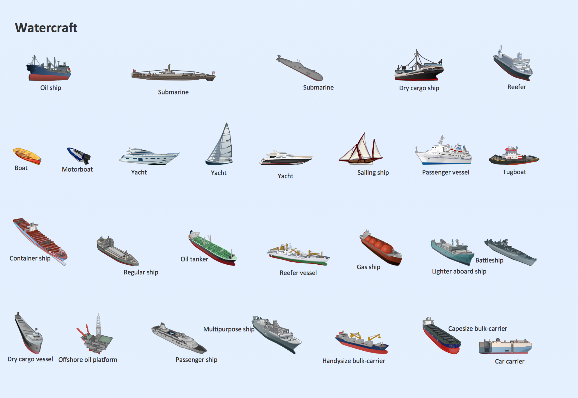
Watercraft - Design Elements
- Drawing Of River Lake And Waterfall
- Design elements - Geography | Geography - Vector stencils library ...
- Graphic Vector Lakes
- Vector Lake Map Elements
- Mountain Trees Lake Vector
- Maps | Geo Map - Africa | Africa - Vector stencils library | Drawings ...
- Create Graphs and Charts | Geography - Vector stencils library | Geo ...
- Design elements - Geography | Geography - Vector stencils library ...
- Lake Drawing Symbols
- Os Map Symbol For A Lake
- Design elements - Geography | Geography - Vector stencils library ...
- Design elements - Geography | Geography - Vector stencils library ...
- Geography - Vector stencils library | Geography - Vector stencils ...
- Geography - Vector stencils library | Mountain Forest Lake Waterfall ...
- River Lake Sea Clipart
- Cartoon Mountain Sea Lake
- Lake Chad Vector
- How to Draw a Natural Landscape | Geography - Vector stencils ...
- Lake River The Sea The Ocean Clipart
- Geography - Vector stencils library | Design elements - Geography ...