Germany Map
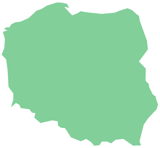
“Germany is in Western and Central Europe, with Denmark bordering to the north, Poland and the Czech Republic to the east, Austria to the southeast, Switzerland to the south-southwest, France, Luxembourg and Belgium lie to the west, and the Netherlands to the northwest. It lies mostly between latitudes 47° and 55° N and longitudes 5° and 16° E. Germany is also bordered by the North Sea and, at the north-northeast, by the Baltic Sea. With Switzerland and Austria, Germany also shares a border on the fresh-water Lake Constance, the third largest lake in Central Europe. German territory covers 357,021 km2 (137,847 sq mi), consisting of 349,223 km2 (134,836 sq mi) of land and 7,798 km2 (3,011 sq mi) of water. It is the seventh largest country by area in Europe and the 62nd largest in the world.”
ConceptDraw DIAGRAM diagramming and vector drawing software enhanced with Germany Map Solution from the Maps Area of ConceptDraw Solution Park is the best for drawing geographic Germany map, topography, political, and various thematic maps of Germany.
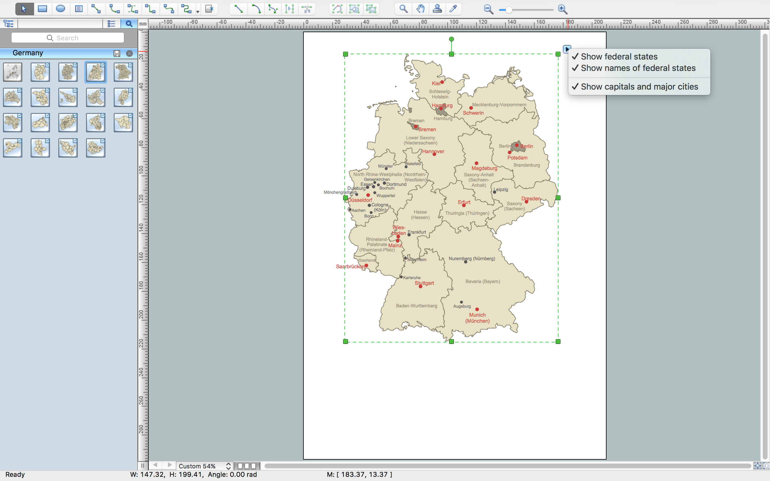
Example 1. Germany Map in ConceptDraw DIAGRAM /p>
Germany Map Solution included in ConceptDraw Solution Park provides collection of predesigned samples and examples, and Germany library with 19 design elements specially developed for easy drawing Germany map of any degree of detailing.

Example 2. Design Elements - Germany Library
All these objects are vector, so you can resize them without loss of quality, fundamentally change the color style or simply highlight some details to make your map more interesting, attractive and successful.
Use also the action menu of the objects to show / hide the federal states and their names, regions and districts, capitals and major cities, designing your Germapy maps in ConceptDraw DIAGRAM software.

Example 3. Germany Map - Crop Areas Map Sugar Beets
The samples you see on this page were created in ConceptDraw DIAGRAM software using the Germany Map solution. Each of these samples is a professionally designed Germany Map. An experienced user spent 5 minutes creating each of these maps.
Use the tools of Germany Map solution for ConceptDraw DIAGRAM software to design your own Germany Map quick, easy and effective, and then successfully use it in your life or work activity.
All source documents are vector graphic documents. They are available for reviewing, modifying, or converting to a variety of formats (PDF file, MS PowerPoint, MS Visio, and many other graphic formats) from the ConceptDraw STORE. The Germany Map Solution is available for all ConceptDraw DIAGRAM users.