"East Africa or Eastern Africa is the easterly region of the African continent, variably defined by geography or geopolitics. In the UN scheme of geographic regions, 20 territories constitute Eastern Africa:
- Tanzania, Kenya, Uganda, Rwanda and Burundi – in Southeast Africa included in the African Great Lakes region and are members of the East African Community (EAC). Burundi and Rwanda are sometimes considered part of Central Africa.
- Djibouti, Eritrea, Ethiopia and Somalia – collectively known as the Horn of Africa.
- Mozambique and Madagascar – often considered part of Southern Africa. Madagascar has close cultural ties to Southeast Asia and the islands of the Indian Ocean.
- Malawi, Zambia and Zimbabwe – often included in Southern Africa, and formerly of the Central African Federation.
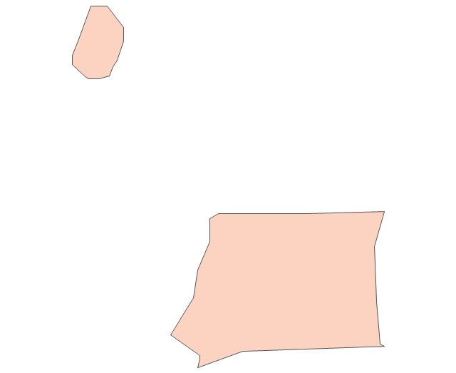
- Comoros, Mauritius and Seychelles – small island nations in the Indian Ocean.
- Réunion and Mayotte – French overseas territories also in the Indian Ocean.
- South Sudan – newly independent from Sudan." [East Africa. Wikipedia]
South Sudan has become independent on July 9, 2011. Sudan and South Sudan are shown with the new international border between them.
This East Africa political map was redesigned using the ConceptDraw PRO diagrammin and vector drawing software from the Wikimedia Commons file: Afryka Wschodnia.png.
[commons.wikimedia.org/ wiki/ File:Afryka_ Wschodnia.png]
The example "East Africa - Political map" is included in the Continent Maps solution from the Maps area of ConceptDraw Solution Park.
- Tanzania, Kenya, Uganda, Rwanda and Burundi – in Southeast Africa included in the African Great Lakes region and are members of the East African Community (EAC). Burundi and Rwanda are sometimes considered part of Central Africa.
- Djibouti, Eritrea, Ethiopia and Somalia – collectively known as the Horn of Africa.
- Mozambique and Madagascar – often considered part of Southern Africa. Madagascar has close cultural ties to Southeast Asia and the islands of the Indian Ocean.
- Malawi, Zambia and Zimbabwe – often included in Southern Africa, and formerly of the Central African Federation.
- Comoros, Mauritius and Seychelles – small island nations in the Indian Ocean.
- Réunion and Mayotte – French overseas territories also in the Indian Ocean.
- South Sudan – newly independent from Sudan." [East Africa. Wikipedia]
South Sudan has become independent on July 9, 2011. Sudan and South Sudan are shown with the new international border between them.
This East Africa political map was redesigned using the ConceptDraw PRO diagrammin and vector drawing software from the Wikimedia Commons file: Afryka Wschodnia.png.
[commons.wikimedia.org/ wiki/ File:Afryka_ Wschodnia.png]
The example "East Africa - Political map" is included in the Continent Maps solution from the Maps area of ConceptDraw Solution Park.
Political map - East Africa

The vector stencils library "Asia" contains 57 Asian state map contours for drawing thematic and political maps of Asia. Use it for visual representation of geospatial information, statistics and quantitative data.
"Asia is the Earth's largest and most populous continent, located primarily in the eastern and northern hemispheres. ... Countries: 49 (and 5 disputed)." [Asia. Wikipedia]
The state map contours example "Asia - Vector stencils library" was created using the ConceptDraw PRO diagramming and vector drawing software extended with the Continent Maps solution from the Maps area of ConceptDraw Solution Park.
Asia

Central Asia

South Asia

East Asia

Southeast Asia

Afghanistan

Armenia

Azerbaijan

Bahrain

Bangladesh

Bhutan

Brunei

Burma (Myanmar)
-asia---vector-stencils-library.png--diagram-flowchart-example.png)
Cambodia

China

Cyprus

Georgia

India

Indonesia

Iran

Iraq

Israel

Japan

Jordan

Kazakhstan

Kuwait

Kyrgyzstan

Laos

Lebanon

Malaysia

Maldives

Mongolia

Nepal

North Korea

Oman

Pakistan

Papua New Guinea

Philippines

Qatar

Russia (Asia)
-asia---vector-stencils-library.png--diagram-flowchart-example.png)
Saudi Arabia

Singapore

South Korea

Sri Lanka

Syria

Taiwan

Tajikistan

Thailand

Turkey

Turkmenistan

United Arab Emirates

Uzbekistan

Vietnam

Yemen

Aral Sea

Caspian Sea

Lake Balkhash

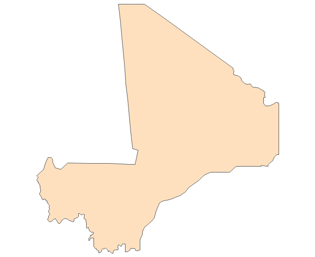
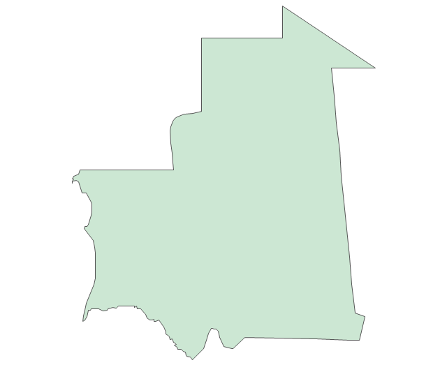
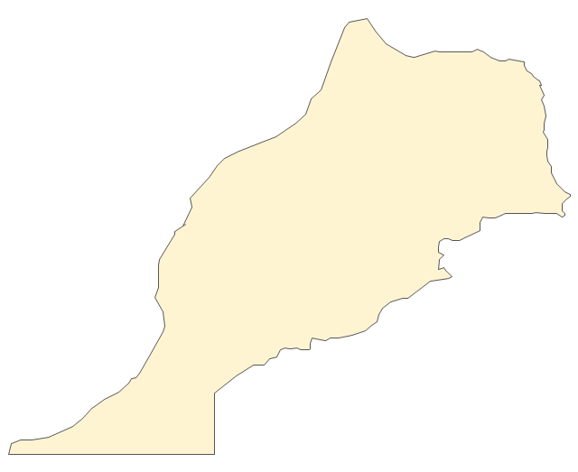
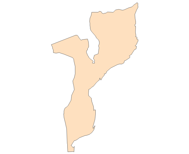
The vector stencils library "Africa" contains 62 country map contours for drawing thematic maps of Africa. Use it for visual representation of geospatial information, statistics and quantitative data.
"Africa is the world's second-largest and second-most-populous continent. ...
The continent includes Madagascar and various archipelagoes. It has 54 fully recognized sovereign states ("countries"), nine territories and two de facto independent states with limited or no recognition." [Africa. Wikipedia]
The map contours example "Africa - Vector stencils library" was created using the ConceptDraw PRO diagramming and vector drawing software extended with the Continent Maps solution from the Maps area of ConceptDraw Solution Park.
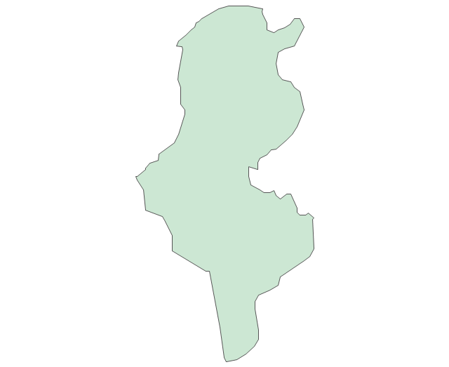
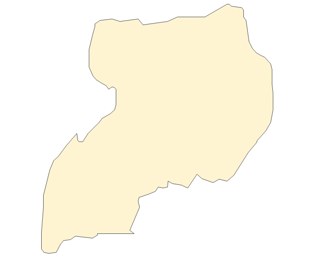
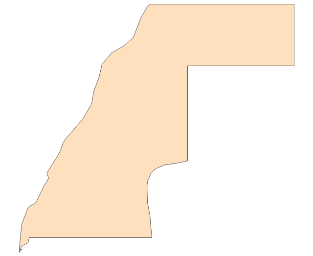
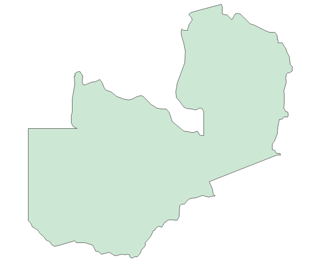
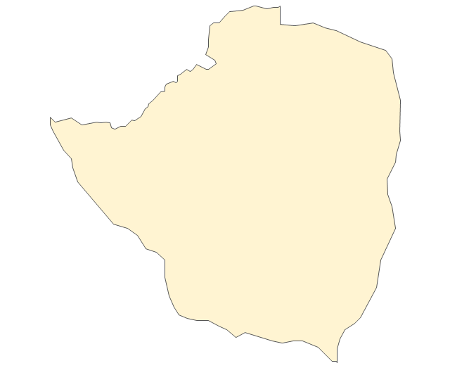
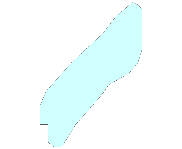
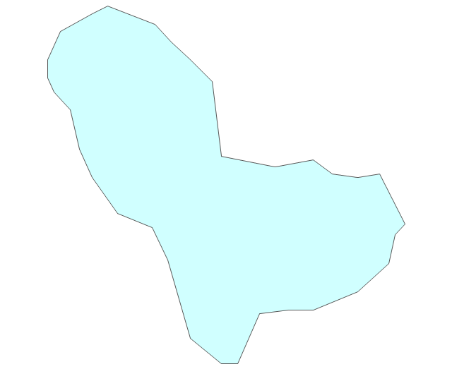
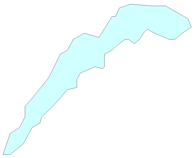
Africa
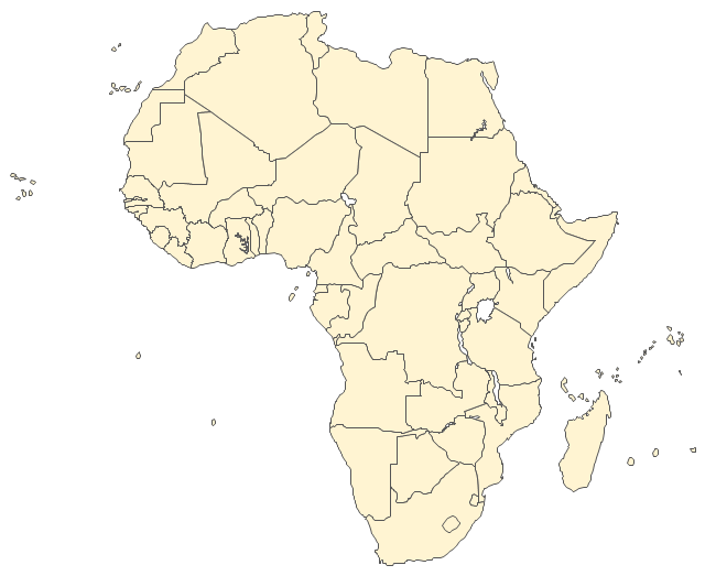
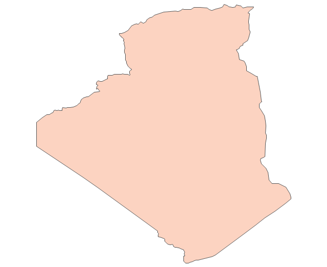
Algeria
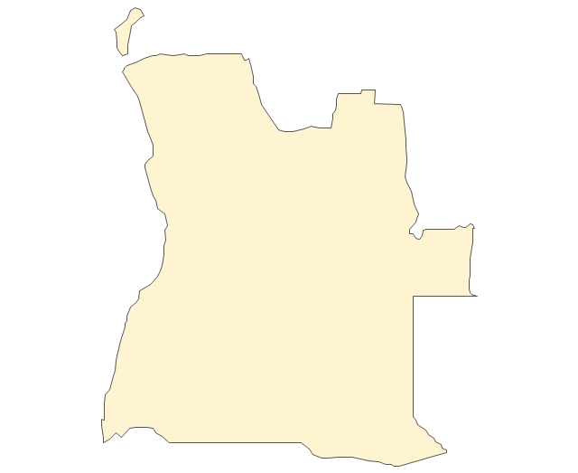
Angola
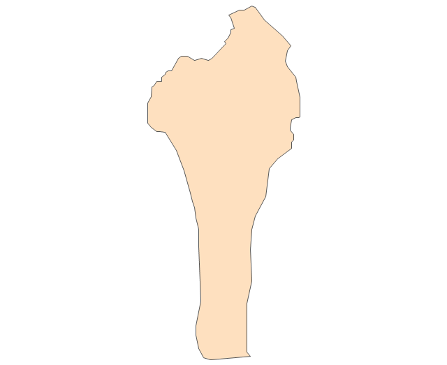
Benin
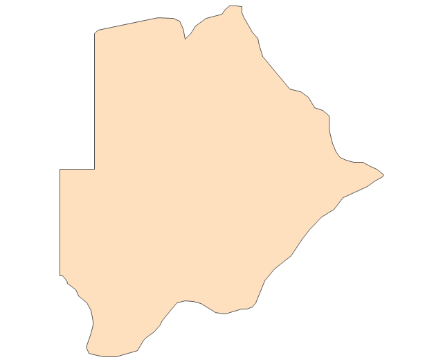
Botswana
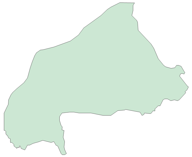
Burkina Faso
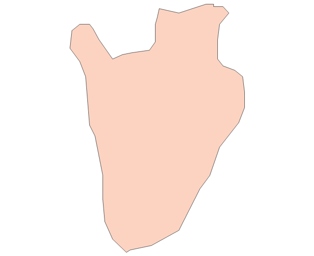
Burundi
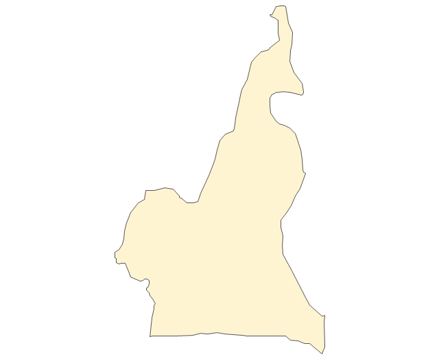
Cameroon
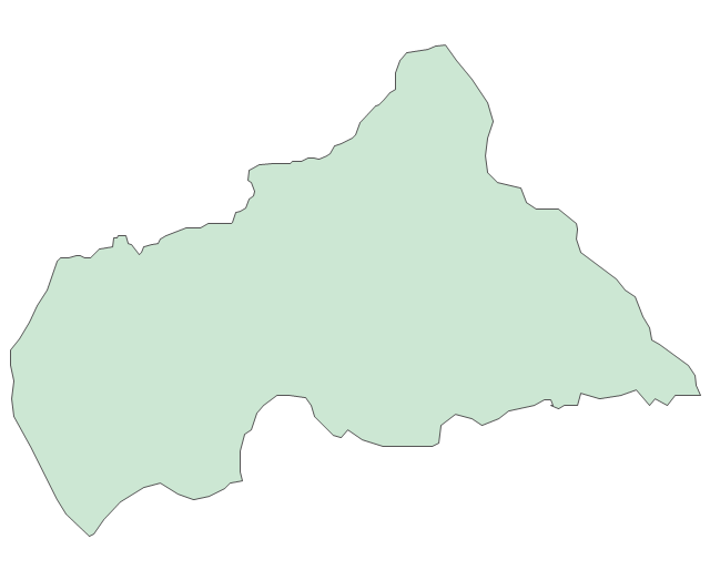
Central African Republic
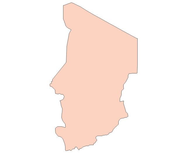
Chad
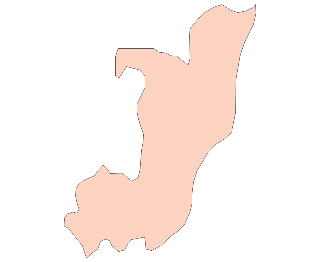
Republic of the Congo
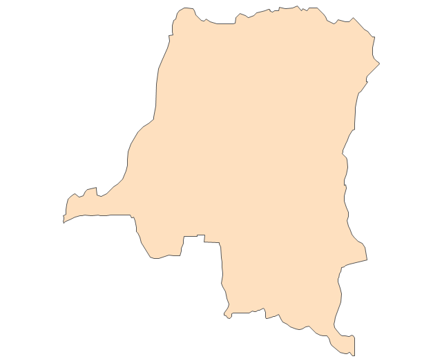
Democratic Republic of the Congo
Ivory Coast (Cote d'Ivoire)
-africa---vector-stencils-library.png--diagram-flowchart-example.png)
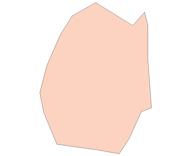
Djibouti
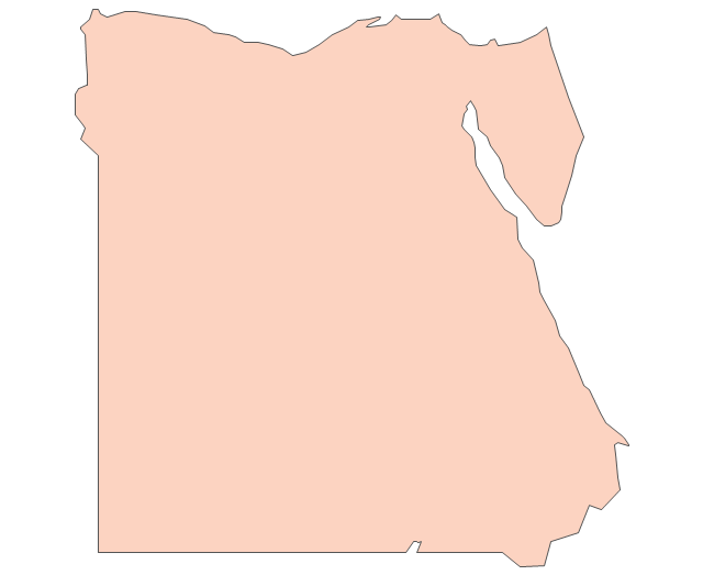
Egypt
Equatorial Guinea
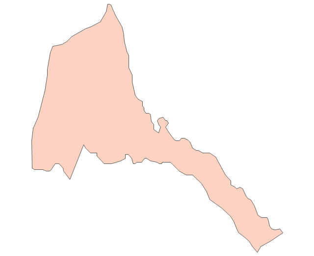
Eritrea
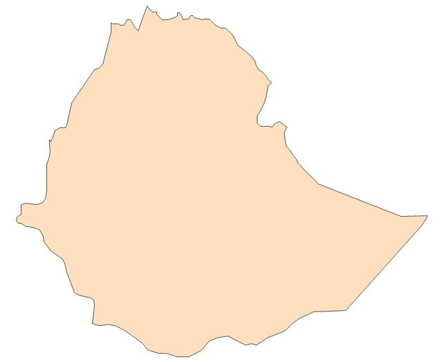
Ethiopia
Gabon
Gambia
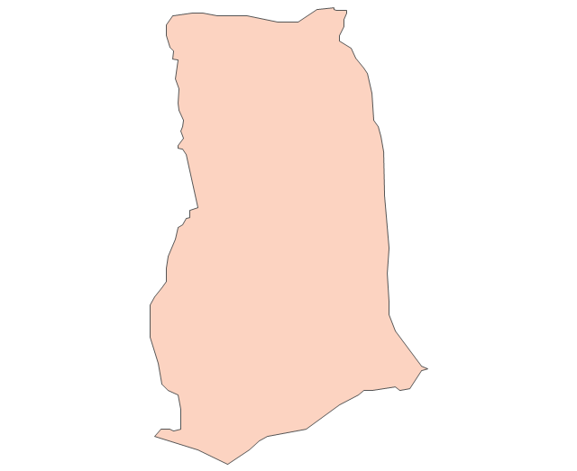
Ghana
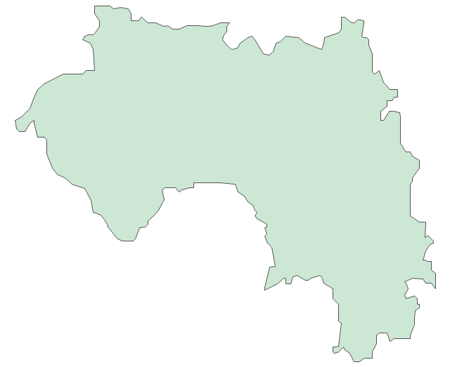
Guinea
Guinea-Bissau
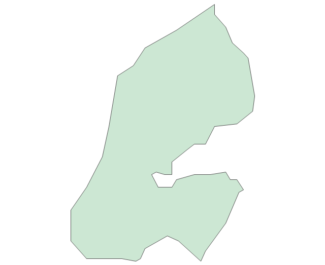
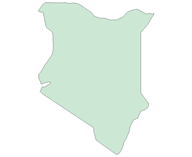
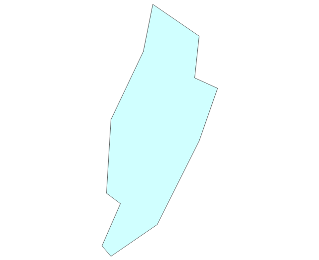
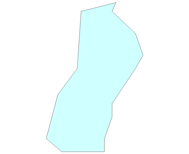
Kenya
Lesotho
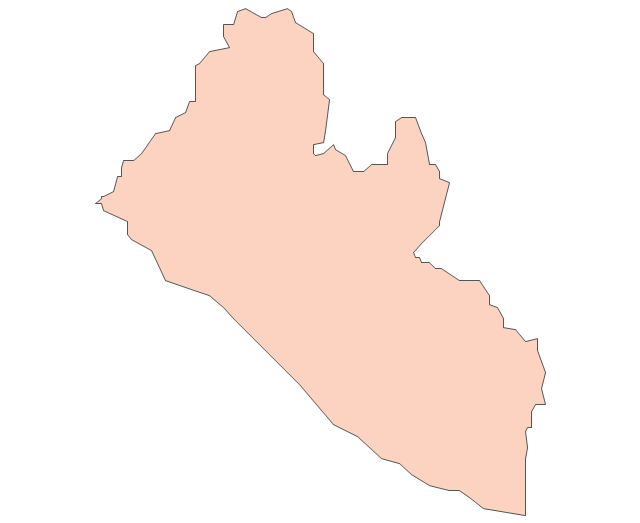
Liberia
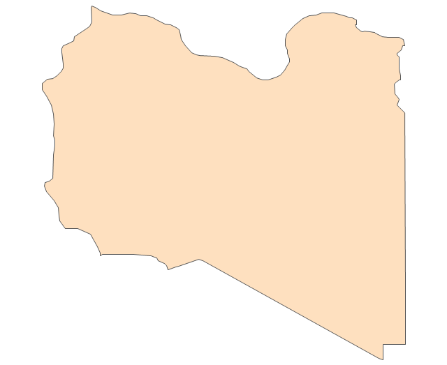
Libya
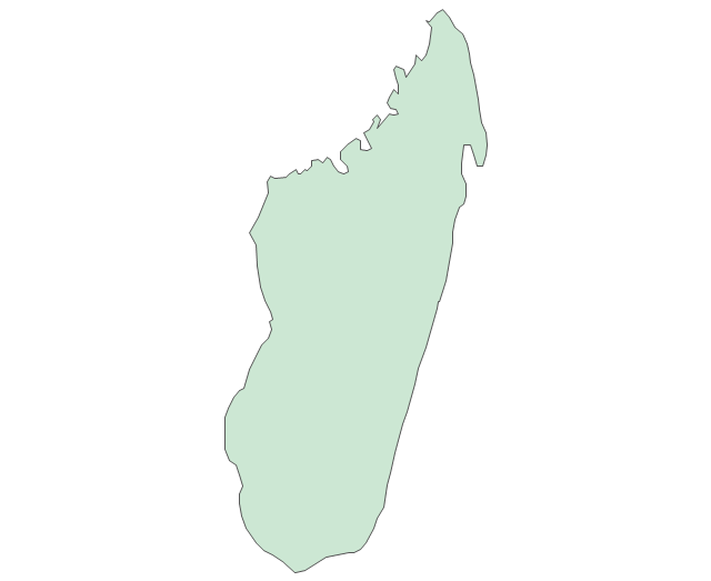
Madagascar
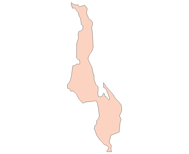
Malawi
Mali
Mauritania
Morocco
Mozambique
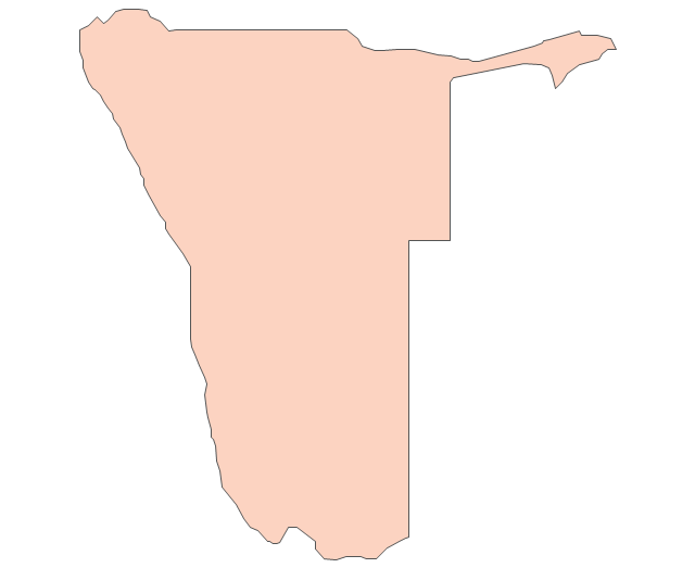
Namibia
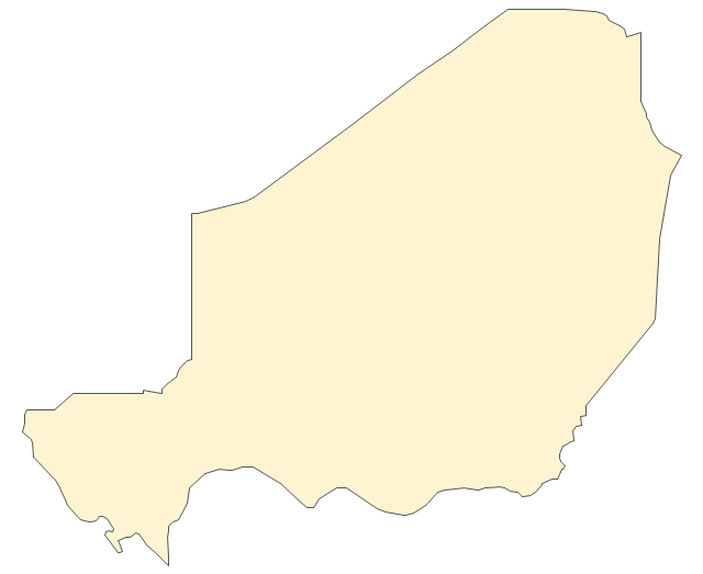
Niger
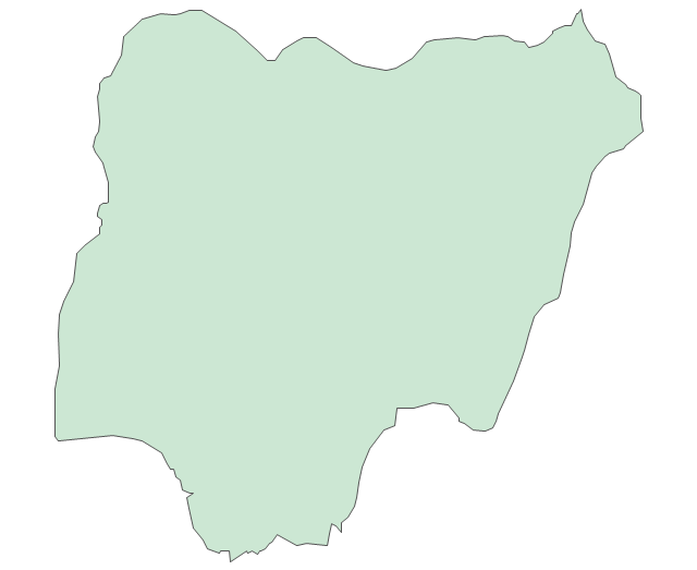
Nigeria
Rwanda
Senegal

Sierra Leone
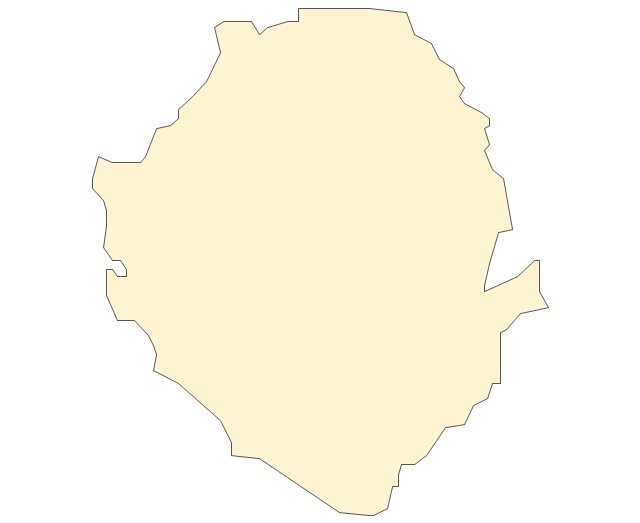
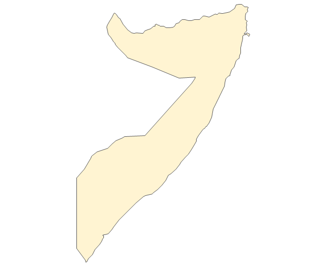
Somalia
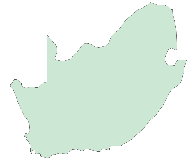
South Africa
Sudan
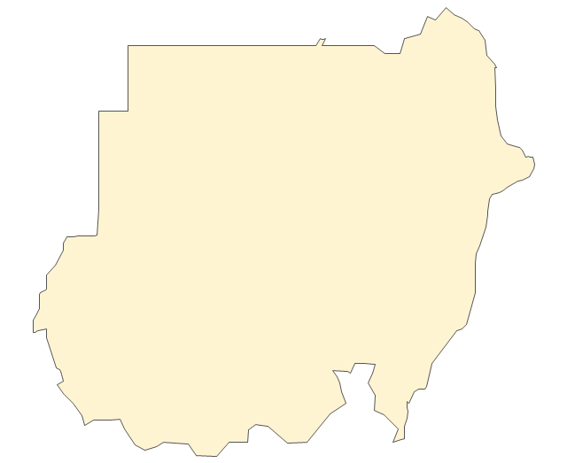
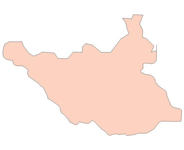
South Sudan
Swaziland
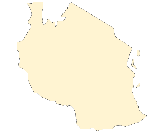
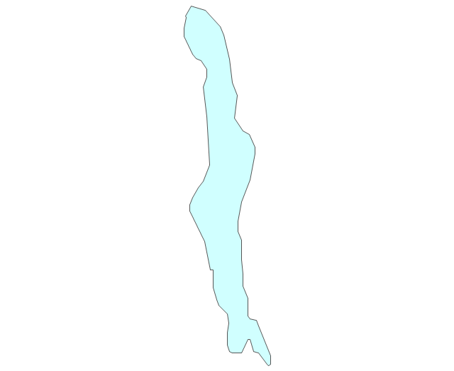
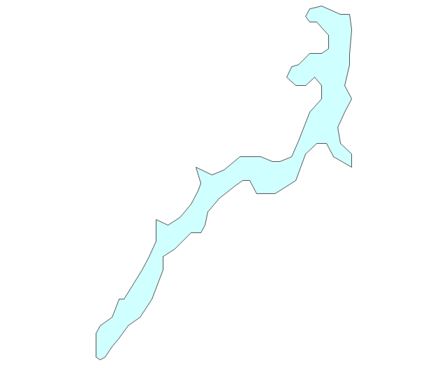
Tanzania
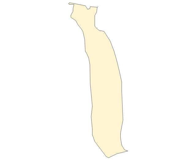
Togo
Tunisia
Uganda
Western Sahara
Zambia
Zimbabwe
Lake Albert
Lake Chad
Lake Kariba
Lake Kivu
Lake Malawi
Lake Mweru
Lake Nasser
Lake Tanganyika
Lake Turkana
Lake Victoria
Lake Volta
The vector stencils library "United States of America" contains 53 state map contours for drawing thematic maps of USA.
Use it for visual representation of geospatial information, statistics and quantitative data.
The state map contours example "United States of America - Vector stencils library" was created using the ConceptDraw PRO diagramming and vector drawing software extended with the Continent Maps solution from the Maps area of ConceptDraw Solution Park.
USA (color)
-united-states-of-america---vector-stencils-library.png--diagram-flowchart-example.png)
USA

Alabama

Alaska

Arizona

Arkansas

California

Colorado

Connecticut

Delaware

Florida

Georgia

Hawaii

Idaho

Illinois

Indiana

Iowa

Kansas

Kentucky

Louisiana

Maine

Maryland

Massachusetts

Michigan

Minnesota

Mississippi

Missouri

Montana

Nebraska

Nevada

New Hampshire

New Jersey

New York

New Mexico

North Dakota

North Carolina

Ohio

Oklahoma

Oregon

Pennsylvania

Rhode Island

South Carolina

South Dakota

Tennessee

Texas

Utah

Vermont

Virginia

Washington

West Virginia

Wisconsin

Wyoming

Great Lakes

The vector stencils library "Landmarks" contains 34 landmark symbols.
Use it to mark maps for spatial infographics in the ConceptDraw PRO diagramming and vector drawing software extended with the Spatial Infographics solution from the area "What is Infographics" of ConceptDraw Solution Park.
Use it to mark maps for spatial infographics in the ConceptDraw PRO diagramming and vector drawing software extended with the Spatial Infographics solution from the area "What is Infographics" of ConceptDraw Solution Park.
Airport

Skyscraper

City

Building 1

Building 2

House 1

House 2

Factory
Petrol Station
Fire Station

Hospital

Town Hall

Cathedral

Shopping Centre

Convenience Store

Park

Traffic Light
Bus 1

Bus 2

Tram 1

Tram 2

Train

Train/Tram

Car 1

Car 2

Car 3

Bicycle

Ferry/Boat

Airplane

Funicular

Ropeway/Cableway

River
Lake

Stadium
The vector clipart library Geography contains 14 images of geographical features: ocean, forest, river, lake, waterfall, mountains, ravine, volcano, desert, hills, iceberg, trees.
Use the design elements library Geography to draw illustrations with landform images using the ConceptDraw PRO diagramming and vector drawing software.
"A landform in the earth sciences comprises a geomorphological unit, and is largely defined by its surface form and location in the landscape. As part of the terrain a landform is an element of topography. Landform elements also include land such as hills, mountains, plateaus,canyons,valleys, seascape and oceanic waterbody interface features such as bays, peninsulas, seas and so forth, including sub-aqueous terrain features such as mid-ocean ridges, volcanoes,and the great ocean basins." [Landform. Wikipedia]
This landscape illustration example is included in the Nature solution from the Illustration area of ConceptDraw Solution Park.
Vector illustration

Geo Map - USA - Wisconsin

Geo Map - South America - Nicaragua

The vector stencils library "Landmarks" contains 34 landmark symbols.
Use it to mark maps for spatial infographics in the ConceptDraw PRO diagramming and vector drawing software extended with the Spatial Infographics solution from the area "What is Infographics" of ConceptDraw Solution Park.
Use it to mark maps for spatial infographics in the ConceptDraw PRO diagramming and vector drawing software extended with the Spatial Infographics solution from the area "What is Infographics" of ConceptDraw Solution Park.
Airport
Skyscraper
City
Building 1
Building 2
House 1
House 2
Factory
Petrol Station
Fire Station
Hospital
Town Hall
Cathedral
Shopping Centre
Convenience Store
Park
Traffic Light
Bus 1
Bus 2
Tram 1
Tram 2
Train
Train/Tram
Car 1
Car 2
Car 3
Bicycle
Ferry/Boat
Airplane
Funicular
Ropeway/Cableway
River
Lake
Stadium
The vector stencils library "Geography" contains 14 clipart images of natural landscapes and water features for drawing illustrations.
"A natural landscape is a landscape that is unaffected by human activity. A natural landscape is intact when all living and nonliving elements are free to move and change. The nonliving elements distinguish a natural landscape from a wilderness. A wilderness includes areas within which natural processes operate without human interference, but a wilderness must contain life. As implied, a natural landscape may contain either the living or nonliving or both." [Natural landscape. Wikipedia]
The clip art example "Geography - Vector stencils library" was created using the ConceptDraw PRO diagramming and vector drawing software extended with the Nature solution from the Illustration area of ConceptDraw Solution Park.
www.conceptdraw.com/ solution-park/ illustrations-nature
Ocean

Forest

River

Lake

Waterfall

Mountains

Mountain

Ravine

Volcano

Desert

Hills

Iceberg

Conifer tree

Tree

Germany Map

The vector stencils library "Asia" contains 57 Asian state map contours for drawing thematic and political maps of Asia. Use it for visual representation of geospatial information, statistics and quantitative data.
"Asia is the Earth's largest and most populous continent, located primarily in the eastern and northern hemispheres. ... Countries: 49 (and 5 disputed)." [Asia. Wikipedia]
The state map contours example "Asia - Vector stencils library" was created using the ConceptDraw PRO diagramming and vector drawing software extended with the Continent Maps solution from the Maps area of ConceptDraw Solution Park.
"Asia is the Earth's largest and most populous continent, located primarily in the eastern and northern hemispheres. ... Countries: 49 (and 5 disputed)." [Asia. Wikipedia]
The state map contours example "Asia - Vector stencils library" was created using the ConceptDraw PRO diagramming and vector drawing software extended with the Continent Maps solution from the Maps area of ConceptDraw Solution Park.
Asia
Central Asia
South Asia
East Asia
Southeast Asia
Afghanistan
Armenia
Azerbaijan
Bahrain
Bangladesh
Bhutan
Brunei
Burma (Myanmar)
Cambodia
China
Cyprus
Georgia
India
Indonesia
Iran
Iraq
Israel
Japan
Jordan
Kazakhstan
Kuwait
Kyrgyzstan
Laos
Lebanon
Malaysia
Maldives
Mongolia
Nepal
North Korea
Oman
Pakistan
Papua New Guinea
Philippines
Qatar
Russia (Asia)
Saudi Arabia
Singapore
South Korea
Sri Lanka
Syria
Taiwan
Tajikistan
Thailand
Turkey
Turkmenistan
United Arab Emirates
Uzbekistan
Vietnam
Yemen
Aral Sea
Caspian Sea
Lake Balkhash
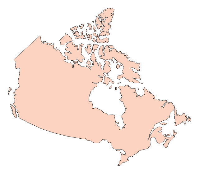
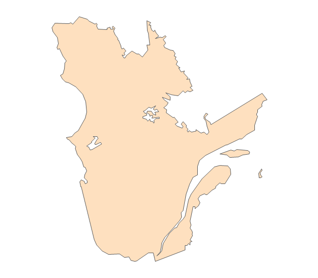
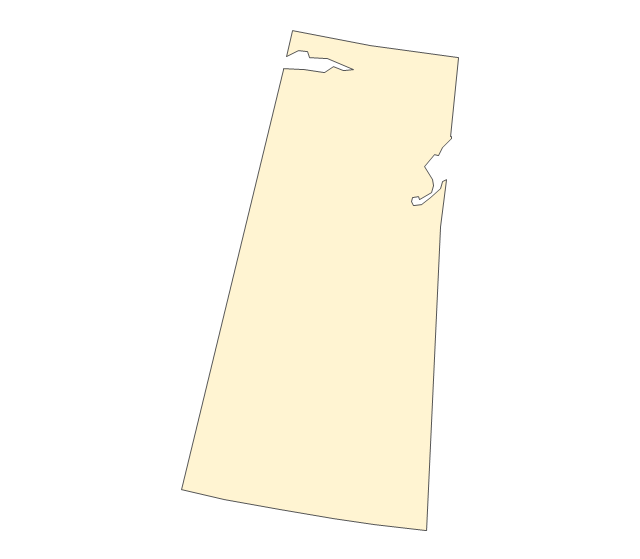
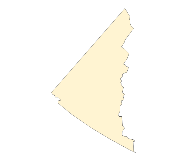
The vector stencils library "Canada" contains 15 map contours for drawing thematic maps of Canada. Use it for visual representation of geospatial information, statistics and quantitative data.
"The provinces and territories of Canada combine to make up the world's second-largest country by area. Originally three provinces of British North America, New Brunswick, Nova Scotia and the Province of Canada (which would become Ontario and Quebec) united to form the new nation. Since then, Canada's external borders have changed several times, and has grown from four initial provinces to ten provinces and three territories as of 1999. The ten provinces are Alberta, British Columbia, Manitoba, New Brunswick, Newfoundland and Labrador, Nova Scotia, Ontario, Prince Edward Island, Quebec, and Saskatchewan. The three territories are Northwest Territories, Nunavut, and Yukon." [Provinces and territories of Canada. Wikipedia]
The map contours example "Canada - Vector stencils library" was created using the ConceptDraw PRO diagramming and vector drawing software extended with the Continent Maps solution from the Maps area of ConceptDraw Solution Park.
Canada
Canada (color)
-canada---vector-stencils-library.png--diagram-flowchart-example.png)
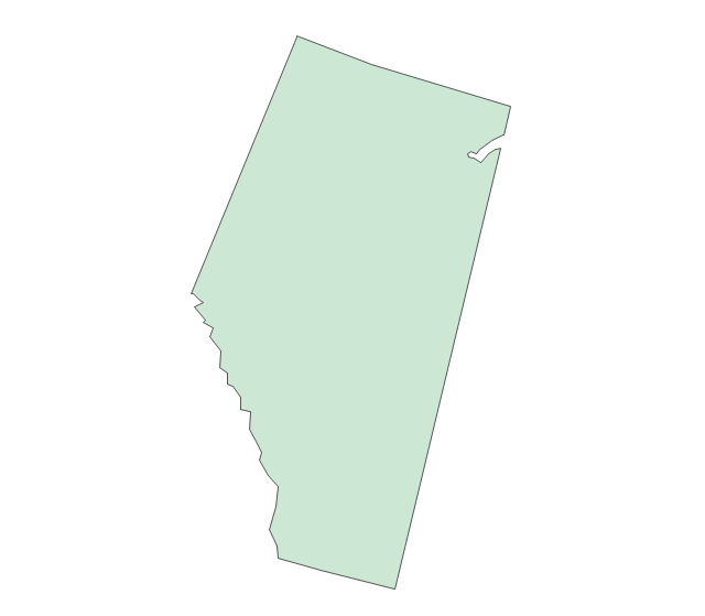
Alberta
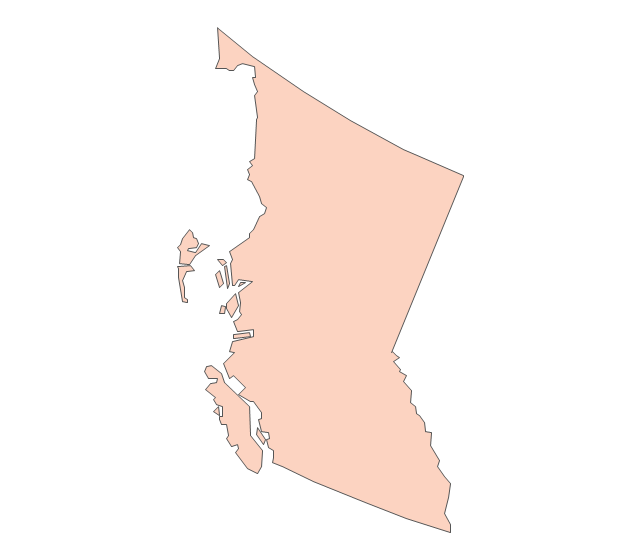
British Columbia
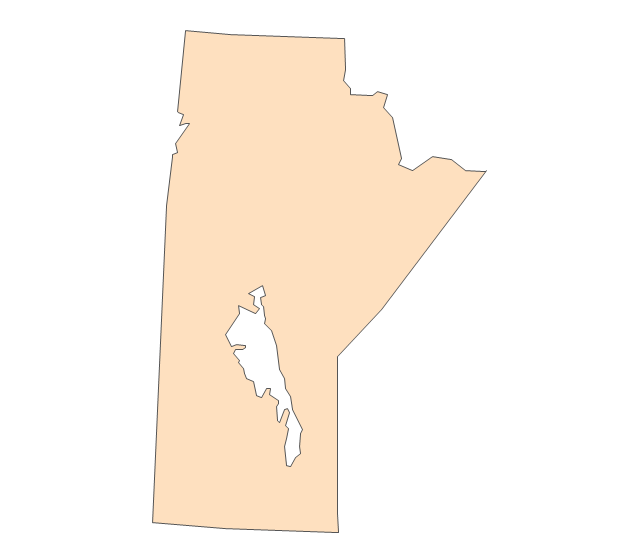
Manitoba
New Brunswick
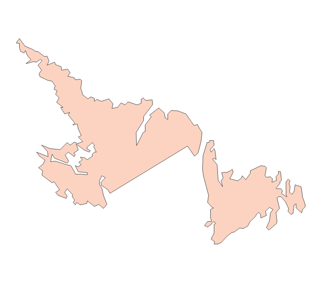
Newfoundland and Labrador
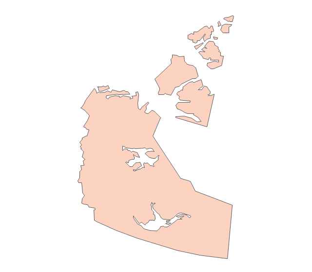
Northwest Territories
Nova Scotia
Nunavut
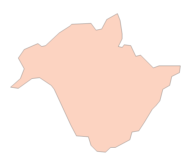
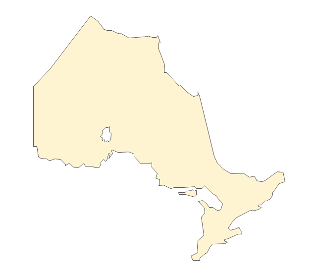
Ontario
Prince Edward Island
Quebec
Saskatchewan
Yukon
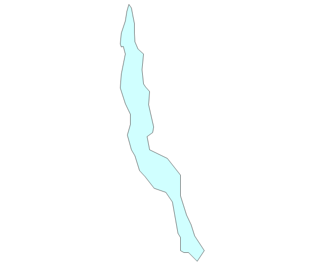
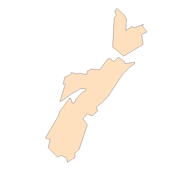
Geo Map - Africa - Burundi

Geo Map - USA - Pennsylvania

- Iceberg Png
- Waterfall Png
- River Illustration Png
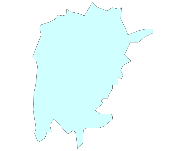
- Tanzania Map Png
- Mountain Illustration Vector Png
- Landmarks - Vector stencils library | Spatial Infographics | Filling ...
- Waterfall Vector Png
- Vector Mountain Png
- Mountain Vector Png
- Tanzania Png
- Hill Clipart Png
- River Water Png
- Green Landscape Hill Drawing Png
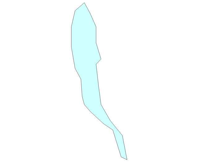
- Malawi Map Png
- Png Hills
- Mountains Clipart Png
- Geo Map - Asia - Papua New Guinea | South Asia - Political map ...
- Africa And Nigeria Png
- Aeroplane Vector Png
- Png Nature