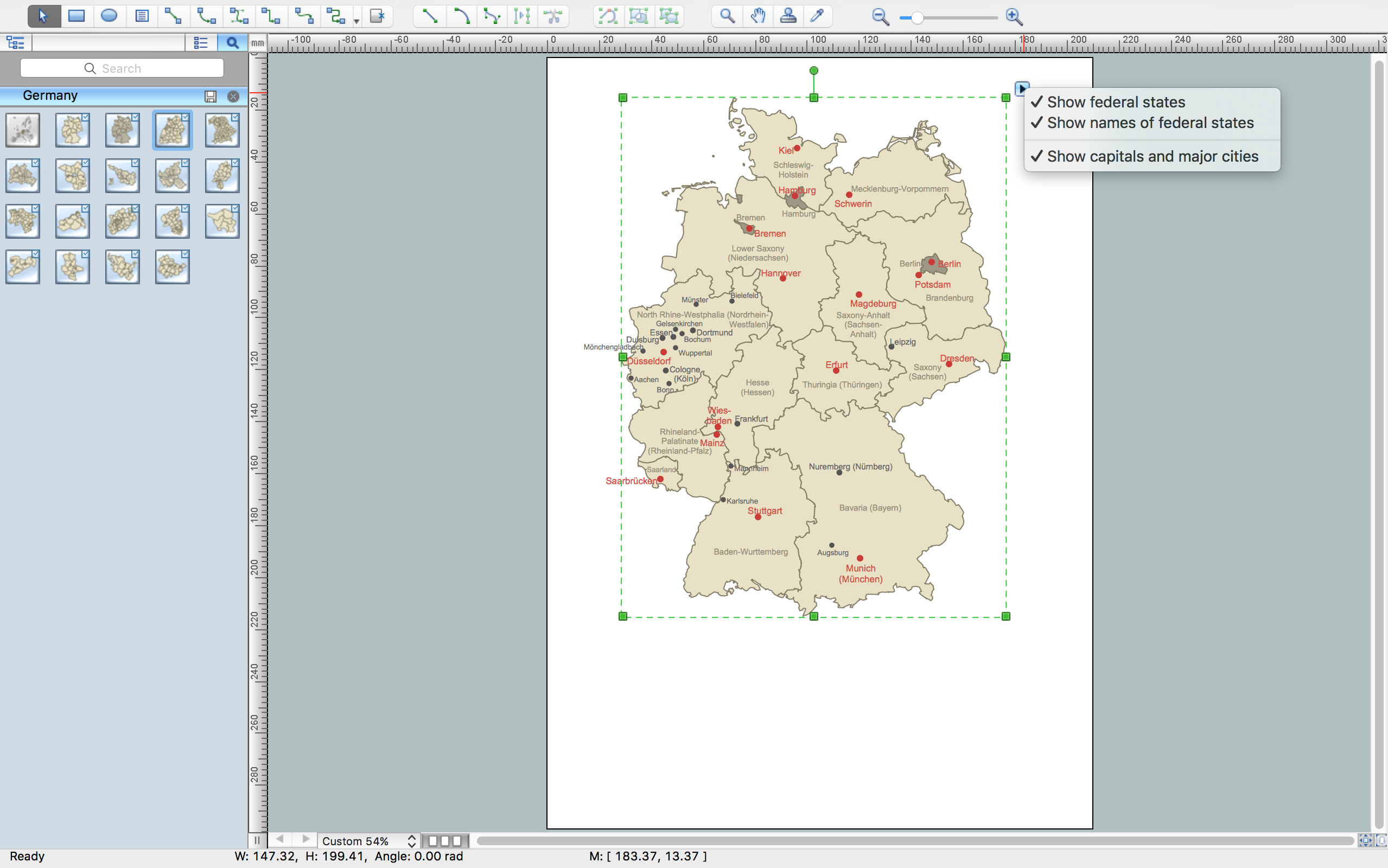
 Germany Map
The Germany Map solution contains collection of samples, templates and scalable vector stencil graphic maps, representing map of Germany and all 16 states of Germany. Use the Germany Map solution from ConceptDraw Solution Park as the base for various them
Germany Map
Germany is in Western and Central Europe, with Denmark bordering to the north, Poland and the Czech Republic to the east, Austria to the southeast, Switzerland to the south-southwest, France, Luxembourg and Belgium lie to the west, and the Netherlands to the northwest.ConceptDraw PRO diagramming and vector drawing software enhanced with Germany Map Solution from the Maps Area of ConceptDraw Solution Park is the best for drawing geographic Germany map, topography, political, and various thematic maps of Germany.

