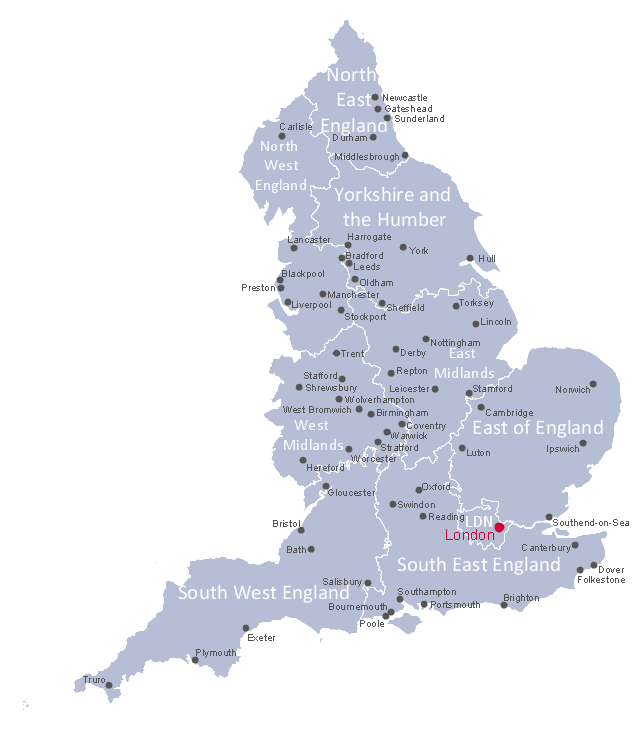
This political map example shows English regions, cities and towns.
"England is a country that is part of the United Kingdom. It shares land borders with Scotland to the north and Wales to the west. The Irish Sea lies northwest of England and the Celtic Sea lies to the southwest. England is separated from continental Europe by the North Sea to the east and the English Channel to the south. The country covers much of the central and southern part of the island of Great Britain, which lies in the North Atlantic; and includes over 100 smaller islands such as the Isles of Scilly, and the Isle of Wight. ...
The subdivisions of England consist of up to four levels of subnational division controlled through a variety of types of administrative entities created for the purposes of local government. The highest tier of local government were the nine regions of England: North East, North West, Yorkshire and the Humber, East Midlands, West Midlands, East, South East, South West, and London. ...
There are fifty settlements which have been designated city status in England, while the wider United Kingdom has sixty-six.
While many cities in England are quite large in size, such as Birmingham, Sheffield, Manchester, Liverpool, Leeds, Newcastle, Bradford, Nottingham and others, a large population is not necessarily a prerequisite for a settlement to be afforded city status. Traditionally the status was afforded to towns with diocesan cathedrals and so there are smaller cities like Wells, Ely, Ripon, Truro and Chichester." [England. Wikipedia]
The political map example "English cities and towns map" was drawn using ConceptDraw PRO software extended with the Map of UK solution from the Maps area of ConceptDraw Solution Park.
English regions map
 UK Map
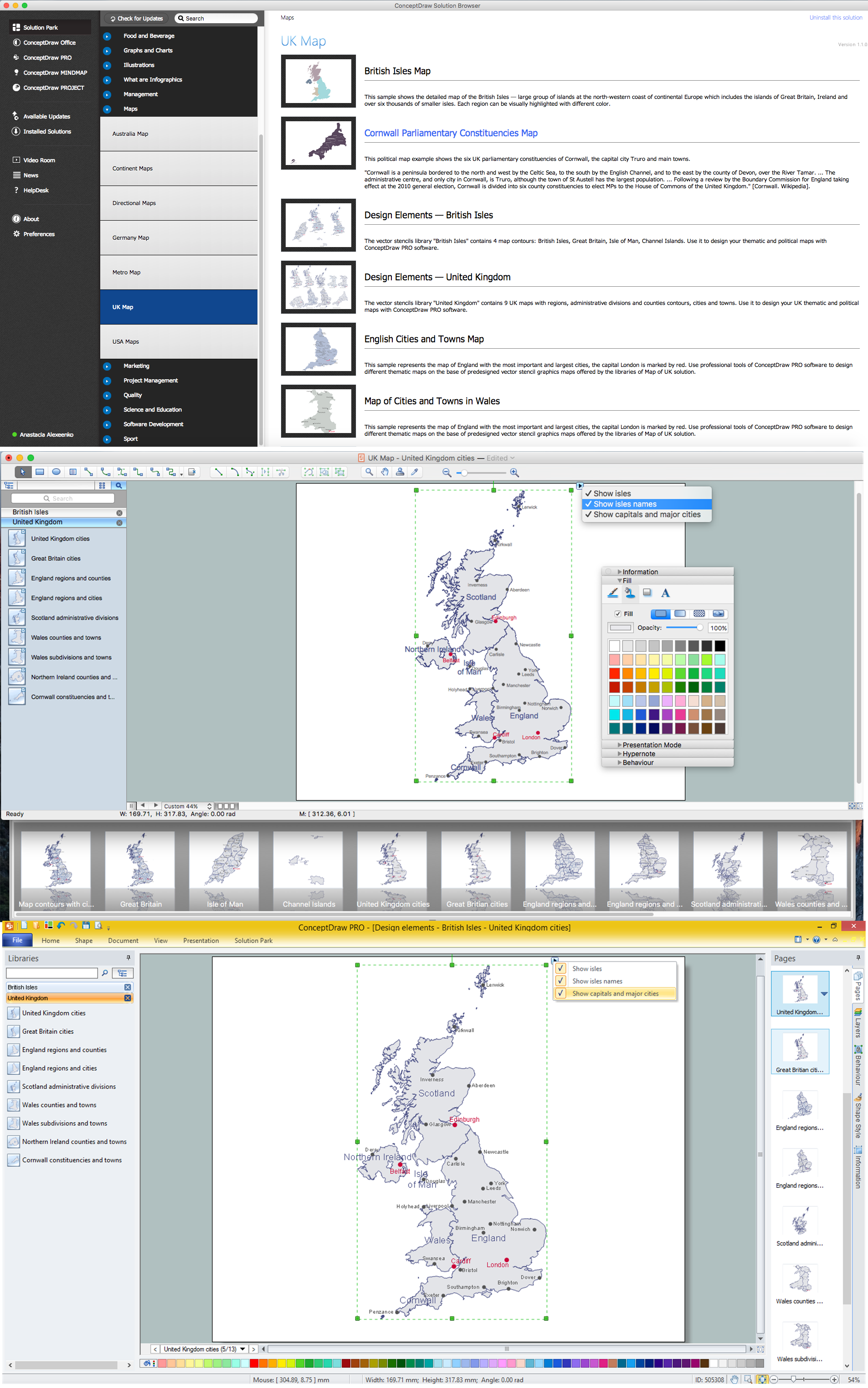
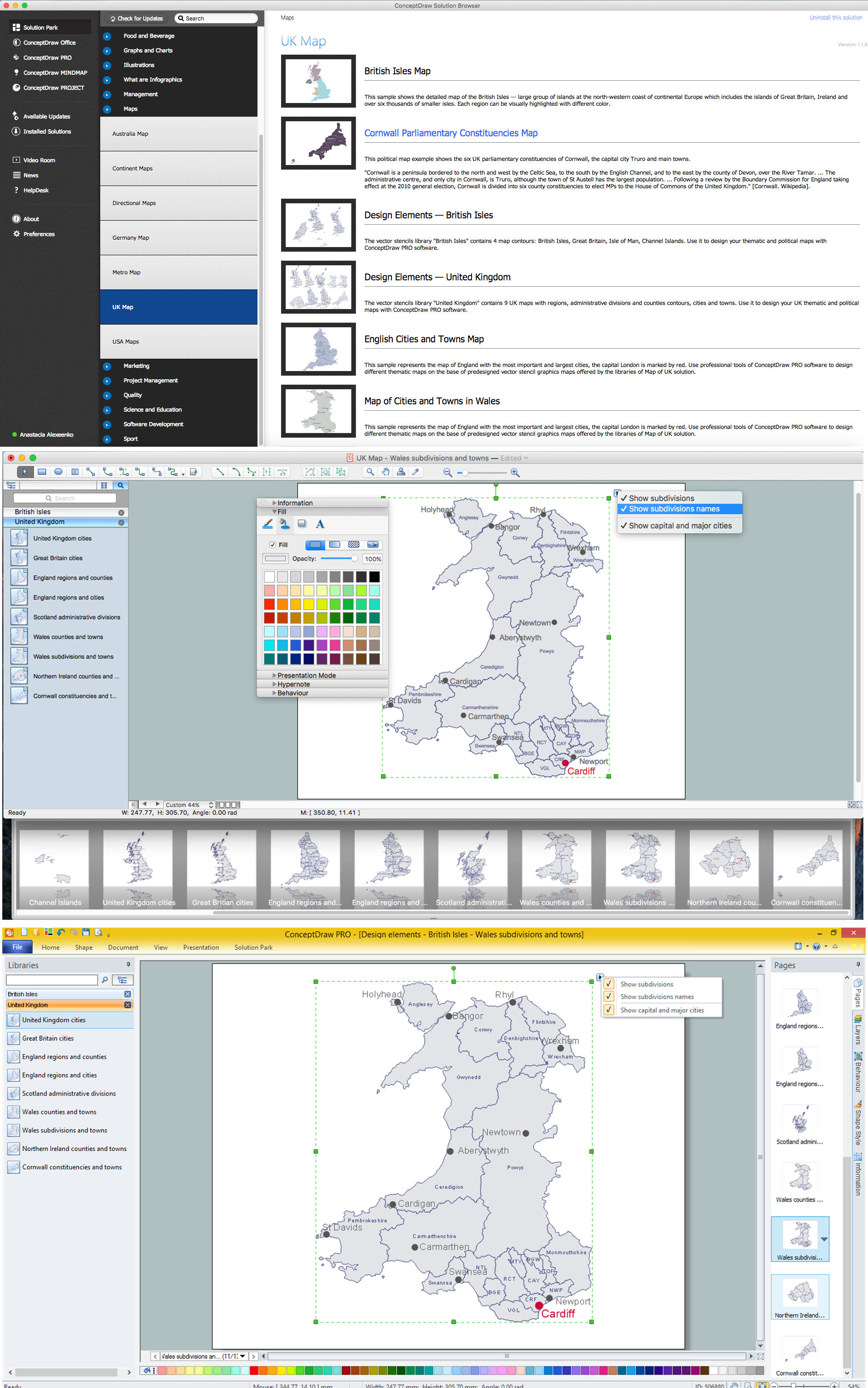
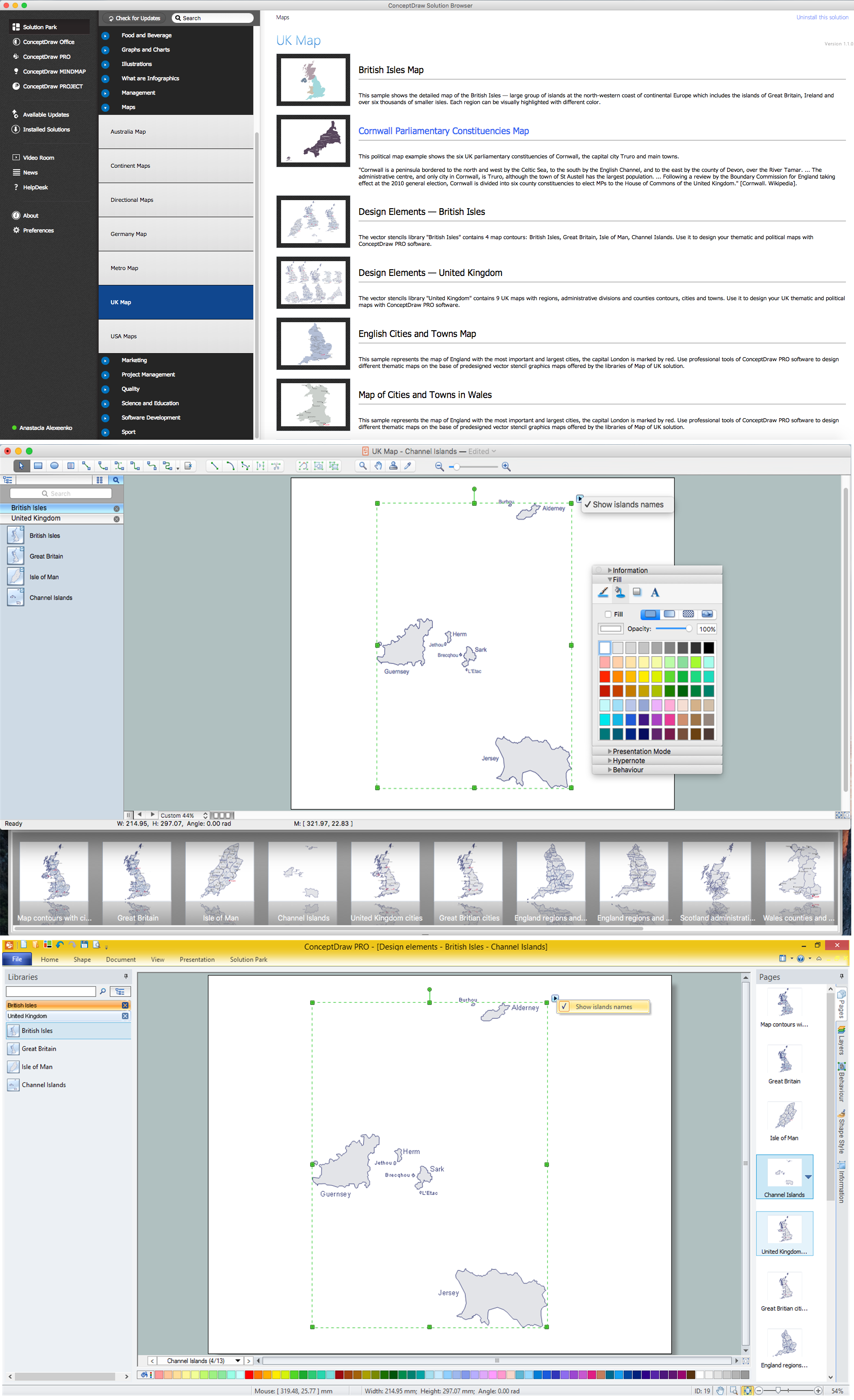
The Map of UK solution contains collection of professionally designed samples and scalable vector stencil graphics maps, representing the United Kingdom counties, regions and cities. Use the Map of UK solution from ConceptDraw Solution Park as the base fo
Map of England

UK Map

Map of UK

United Kingdom Cities
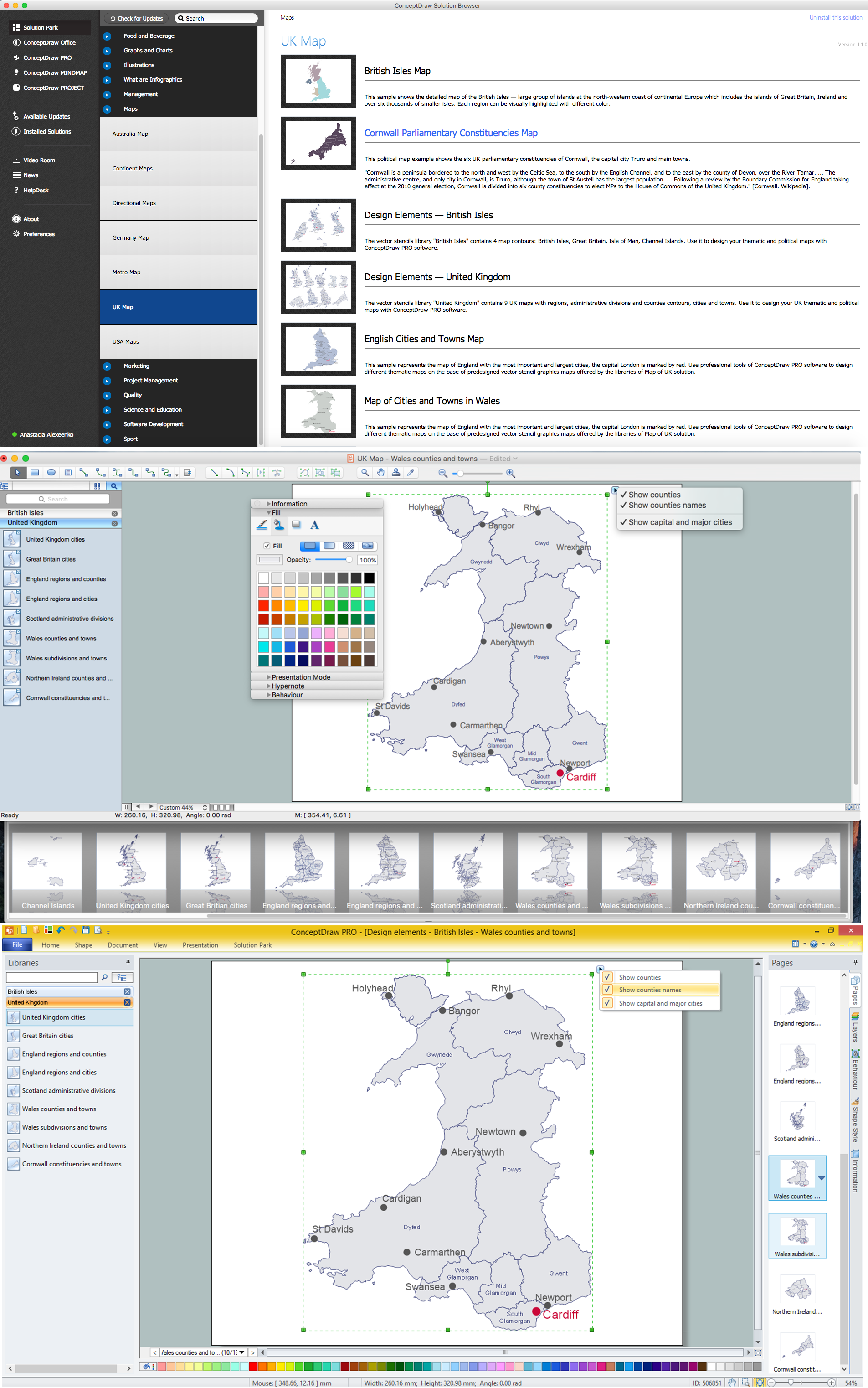
Map of UK — Wales Subdivisions and Towns
Map of UK — Channel Islands
Map of UK — Wales Counties and Towns
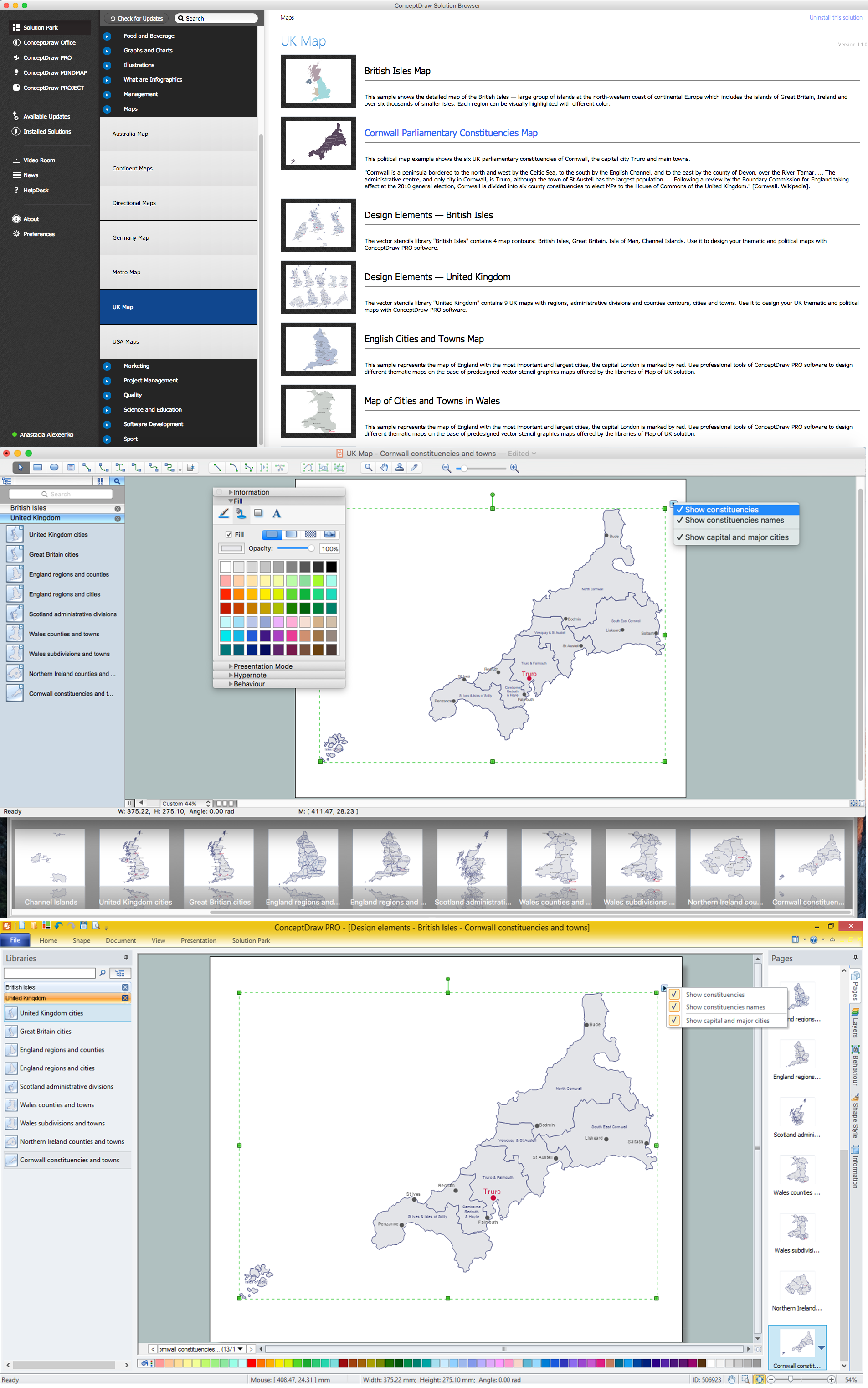
Map of UK — Cornwall
- UK Map | Map of England | English cities and towns map | Map Of ...
- English cities and towns map
- UK Map | English cities and towns map | Map of England | Uk Cities ...
- Map of UK — Great Britain Cities | UK Map | United Kingdom Cities ...
- Map Of The British Isles Counties
- Northern Ireland cities and towns map | UK Map | Northern Ireland ...
- Map of cities and towns in Wales | Map of UK — Wales Subdivisions ...
- Cornwall parliamentary constituencies map | UK Map | Map of UK ...
- UK Map | How to Create a Map Depicting the United Kingdom ...
- Design elements - British Isles | Map of UK | Map of the British Isles ...