Infographics and Maps
Infographics
ConceptDraw DIAGRAM is a software for making the awesome Infographics. The Spatial Infographics solution contains spatial infographics samples, templates and libraries of vector stencils for main design elements of spatial infographics.
The Spatial Infographics Solution gives users of ConceptDraw DIAGRAM the ability to build visual maps that orient viewers to the topography of a location or event.
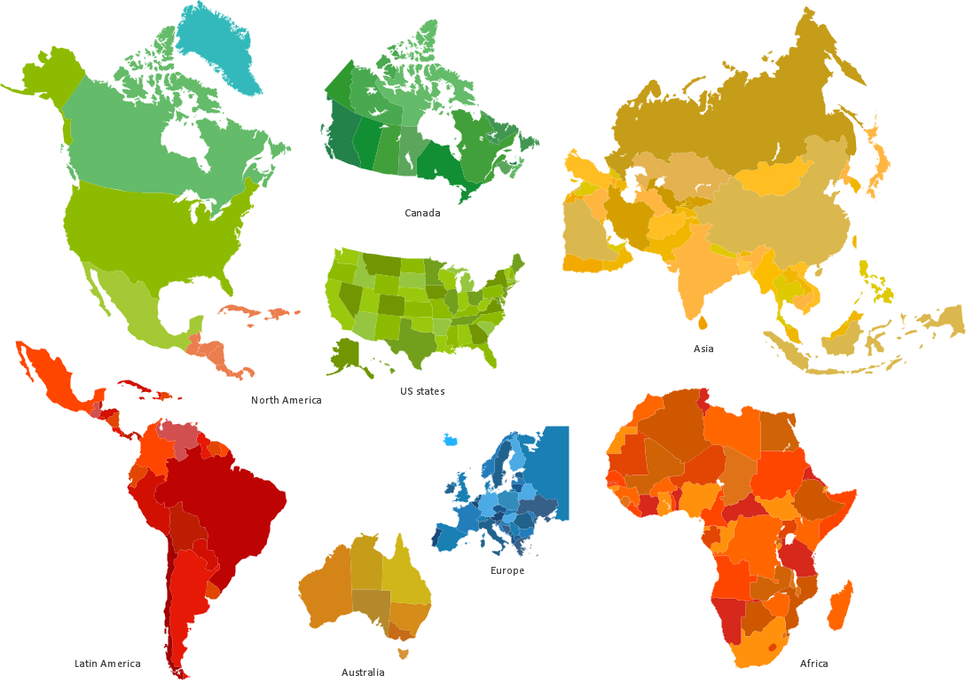
Sample 1. Geospatial infographics design elements - Continent and country maps.
Solution Spatial Infographics from ConceptDraw Solution Park extends ConceptDraw DIAGRAM ector diagramming and business graphics software with easy-to-use spatial infographics drawing tools.
This solution contains spatial infographics samples, map templates to be filled in, and libraries of vector stencils for main design elements of spatial infographics.
Use this solution to draw your own geospatial infographics documents with thematic maps, road maps, directional maps and transport maps.