HelpDesk
How to Create a Network Security Diagram Using ConceptDraw PRO

 Office Layout Plans
Office layouts and office plans are a special category of building plans and are often an obligatory requirement for precise and correct construction, design and exploitation office premises and business buildings. Designers and architects strive to make office plans and office floor plans simple and accurate, but at the same time unique, elegant, creative, and even extraordinary to easily increase the effectiveness of the work while attracting a large number of clients.
This work flow chart sample was redesigned from the picture "Weather Forecast" from the article "Simulation Workflows".
[iaas.uni-stuttgart.de/ forschung/ projects/ simtech/ sim-workflows.php]
"(1) The weather is predicted for a particular geological area. Hence, the workflow is fed with a model of the geophysical environment of ground, air and water for a requested area.
(2) Over a specified period of time (e.g. 6 hours) several different variables are measured and observed. Ground stations, ships, airplanes, weather balloons, satellites and buoys measure the air pressure, air/ water temperature, wind velocity, air humidity, vertical temperature profiles, cloud velocity, rain fall, and more.
(3) This data needs to be collected from the different sources and stored for later access.
(4) The collected data is analyzed and transformed into a common format (e.g. Fahrenheit to Celsius scale). The normalized values are used to create the current state of the atmosphere.
(5) Then, a numerical weather forecast is made based on mathematical-physical models (e.g. GFS - Global Forecast System, UKMO - United Kingdom MOdel, GME - global model of Deutscher Wetterdienst). The environmental area needs to be discretized beforehand using grid cells. The physical parameters measured in Step 2 are exposed in 3D space as timely function. This leads to a system of partial differential equations reflecting the physical relations that is solved numerically.
(6) The results of the numerical models are complemented with a statistical interpretation (e.g. with MOS - Model-Output-Statistics). That means the forecast result of the numerical models is compared to statistical weather data. Known forecast failures are corrected.
(7) The numerical post-processing is done with DMO (Direct Model Output): the numerical results are interpolated for specific geological locations.
(8) Additionally, a statistical post-processing step removes failures of measuring devices (e.g. using KALMAN filters).
(9) The statistical interpretation and the numerical results are then observed and interpreted by meteorologists based on their subjective experiences.
(10) Finally, the weather forecast is visualized and presented to interested people." [iaas.uni-stuttgart.de/ forschung/ projects/ simtech/ sim-workflows.php]
The example "Workflow diagram - Weather forecast" was drawn using the ConceptDraw PRO diagramming and vector drawing software extended with the Workflow Diagrams solution from the Business Processes area of ConceptDraw Solution Park.
Work flow chart

 Building Plans Area
The Building Plans Area collects solutions for drawing the building and site plans.
The vector stencils library "Aerospace" contains 38 clip art images for creating aerospace illustrations, presentation slides, infographics and webpages using the ConceptDraw PRO diagramming and vector drawing software.
"Aerospace describes the human effort in science, engineering and business to fly in the atmosphere of Earth (aeronautics) and surrounding space (astronautics). Aerospace organisations research, design, manufacture, operate, or maintain aircraft and/ or spacecraft. Aerospace activity is very diverse, with a multitude of commercial, industrial and military applications.
Aerospace is not the same as airspace, which is the physical air space directly above a location on the ground." [Aerospace. Wikipedia]
The vector stencils library "Aerospace" is included in the Aerospace and Transport solution from the Illustrations area of ConceptDraw Solution Park.
www.conceptdraw.com/ solution-park/ illustrations-aerospace-transport
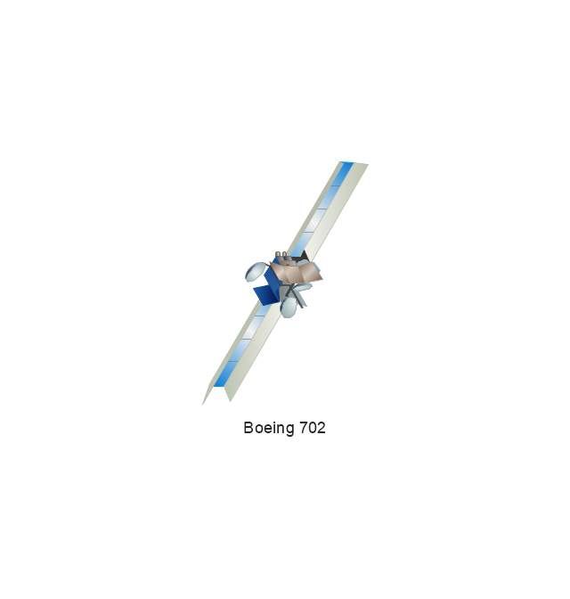
Boeing 702
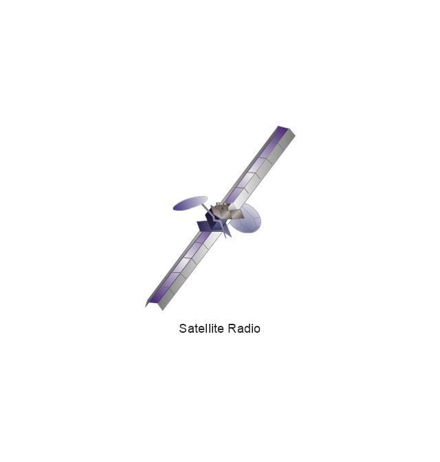
Satellite Radio
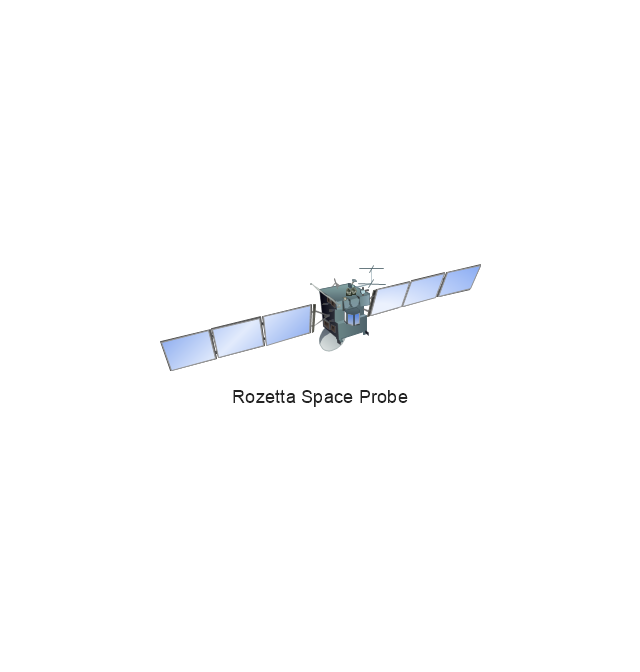
Rosetta Space Probe
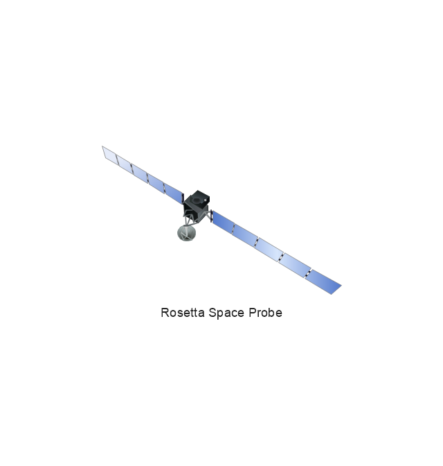
Rosetta Space Probe
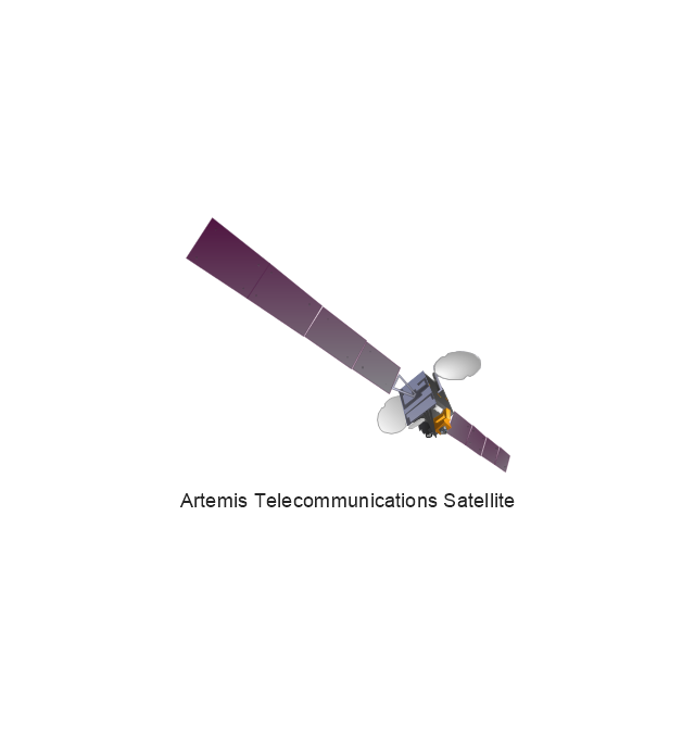
Artemis Telecommunications Satellite
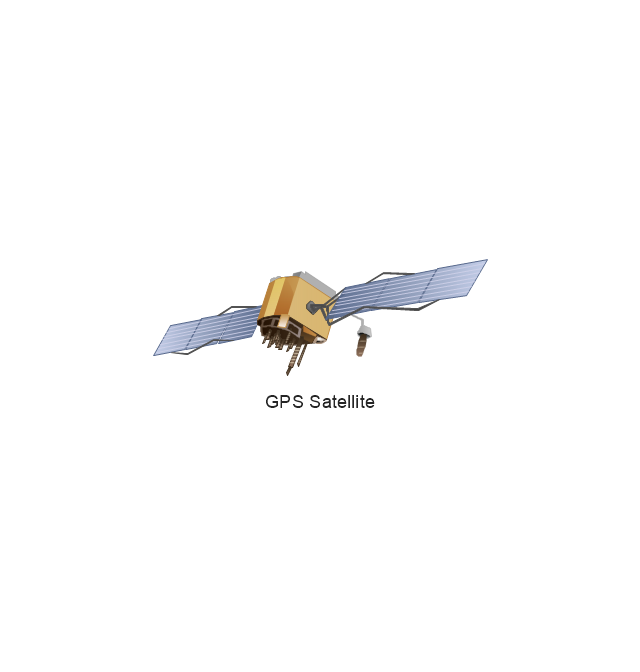
GPS Satellite
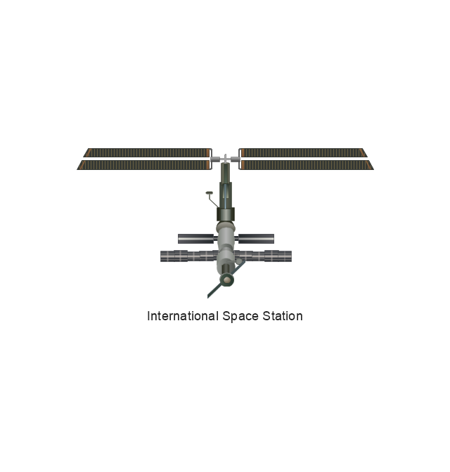
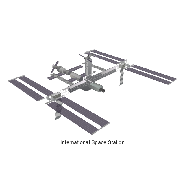
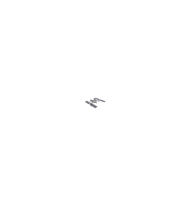
International Space Station
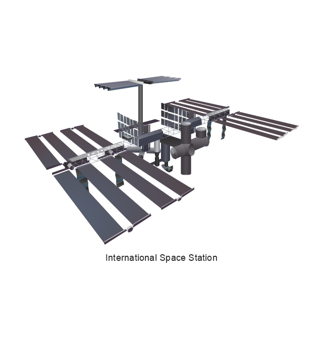
International Space Station
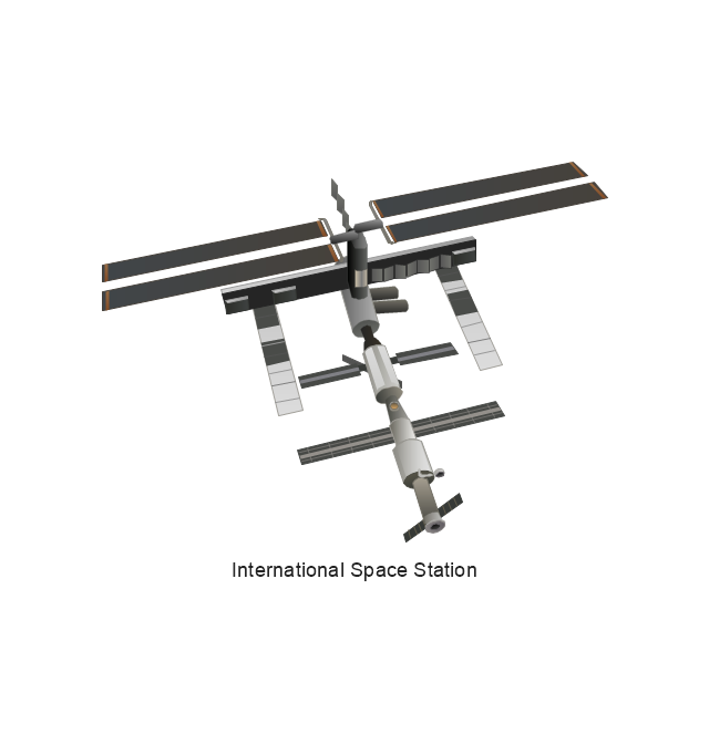
International Space Station
International Space Station
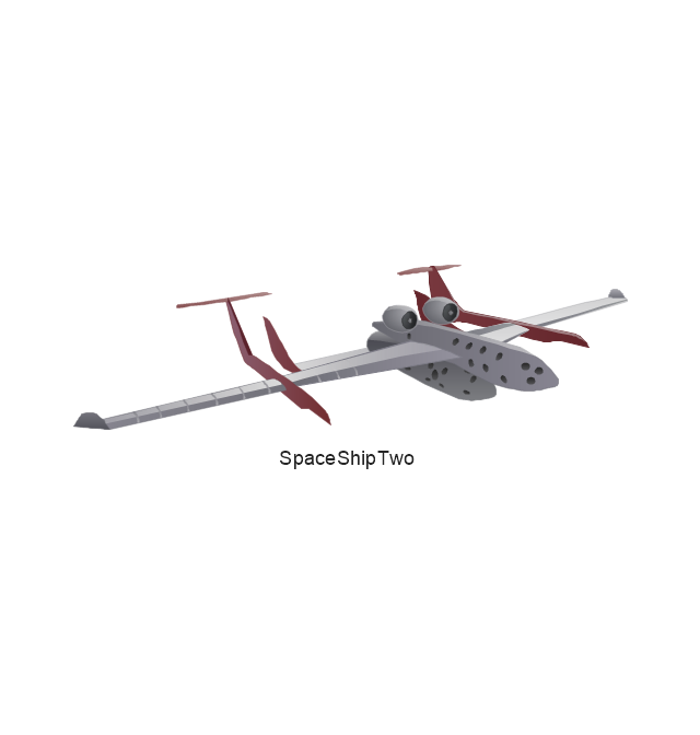
SpaceShipTwo
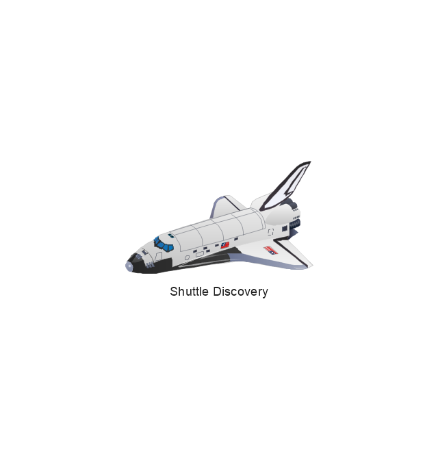
Shuttle Discovery
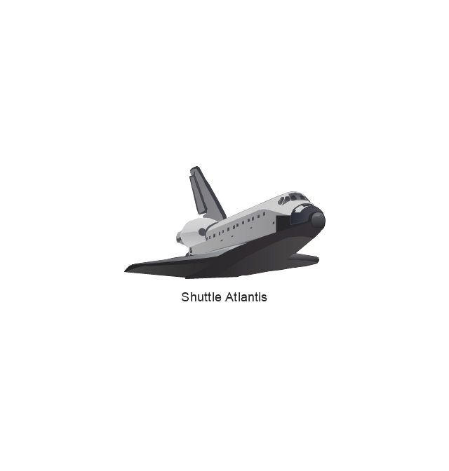
Shuttle Atlantis
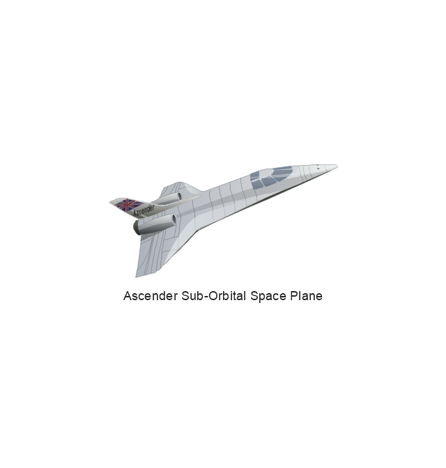
Ascender Sub-Orbital Space Plane
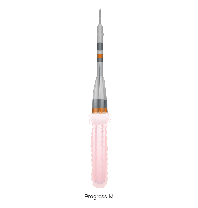
Progress M
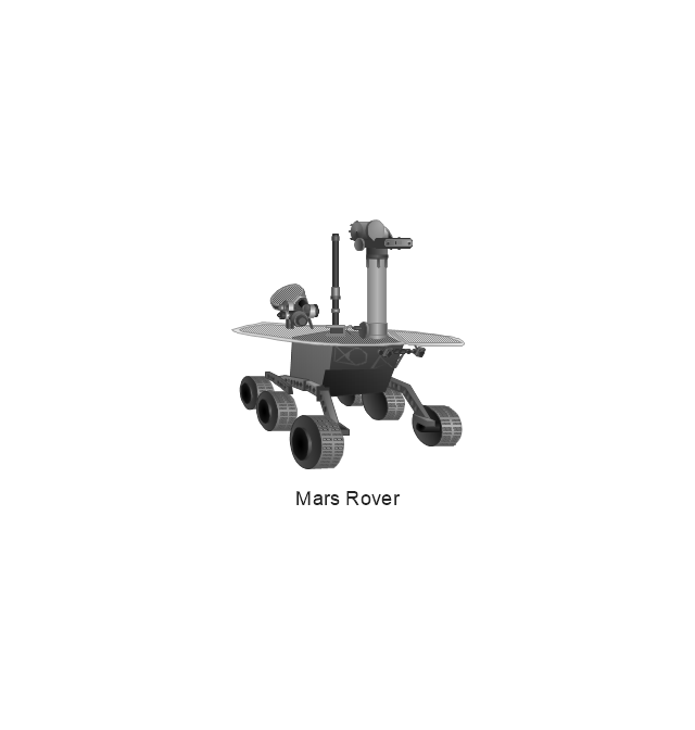
Mars Rover
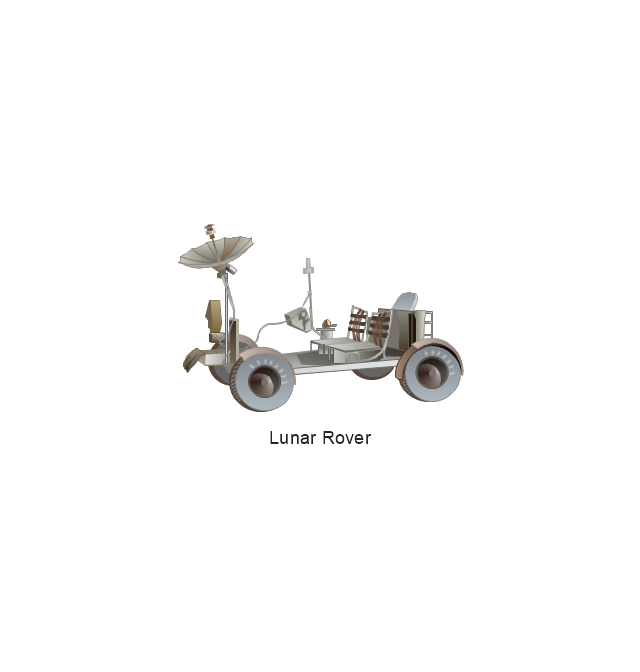
Lunar Rover
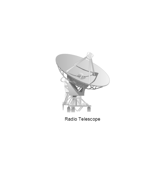
Radio Telescope
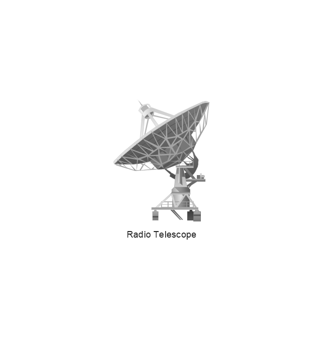
Radio Telescope
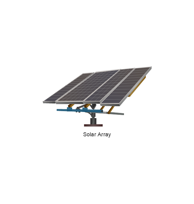
Solar Array
Solar Panel
Inmarsat D
Inmarsat C
Spacesuit
Soyuz TMA
Satellite Thuraya
Tracking Headquarters
Earth
Earth

Earth

Earth

Moon
Galaxy
Galaxy
Galaxy
Astronaut/Cosmonaut
Tracking Headquarters
Night Sky

The vector stencils library "Global networks" contains 63 computer and telecommunication icon symbols for drawing the global vehicular network diagrams.
"Satellite Internet access is Internet access provided through communications satellites. Modern satellite Internet service is typically provided to users through geostationary satellites that can offer high data speeds, with newer satellites achieving downstream data speeds up to 15 Mbps. ...
Satellite Internet generally relies on three primary components: a satellite in geostationary orbit (sometimes referred to as a geosynchronous Earth orbit, or GEO), a number of ground stations known as gateways that relay Internet data to and from the satellite via radio waves (microwave), and a VSAT (very-small-aperture terminal) dish antenna with a transceiver, located at the subscriber's premises. Other components of a satellite Internet system include a modem at the user end which links the user's network with the transceiver, and a centralized network operations center (NOC) for monitoring the entire system. Working in concert with a broadband gateway, the satellite operates a Star network topology where all network communication passes through the network's hub processor, which is at the center of the star. With this configuration, the number of remote VSATs that can be connected to the hub is virtually limitless." [Satellite Internet access. Wikipedia]
The clip art example "Global networks - Vector stencils library" was created using the ConceptDraw PRO diagramming and vector drawing software extended with the Vehicular Networking solution from the Computer and Networks area of ConceptDraw Solution Park.
www.conceptdraw.com/ solution-park/ vehicular-networking
City

Office Building

House

Radio Tower

Satellite Dish

International Space Station
Space Shuttle

Satellite

Satellite

Rocket

Airplane

Airplane

Airplane (back view)
-global-networks---vector-stencils-library.png--diagram-flowchart-example.png)
Airplane (back view)
-global-networks---vector-stencils-library.png--diagram-flowchart-example.png)
Helicopter

Helicopter

Helicopter (back view)
-global-networks---vector-stencils-library.png--diagram-flowchart-example.png)
Helicopter (back view)
-global-networks---vector-stencils-library.png--diagram-flowchart-example.png)
Car

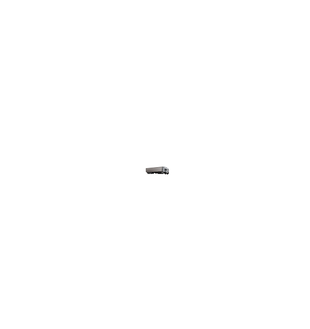
Trailer
Double Decker Bus

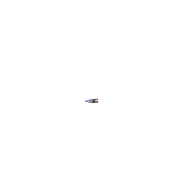
High-speed Train

Freight Train
Regular Ship

Regular Ship

Passenger Vessel

Passenger Vessel

Battleship

Battleship

Submarine

Submarine

Bulk Carrier

Multipurpose Ship

Passanger Ship

Offshore Oil Platform

Eastern Hemisphere

Western Hemisphere

Eastern Hemisphere (oval)
-global-networks---vector-stencils-library.png--diagram-flowchart-example.png)
Western Hemisphere (oval)
-global-networks---vector-stencils-library.png--diagram-flowchart-example.png)
Eastern Hemisphere (oval)
-global-networks---vector-stencils-library.png--diagram-flowchart-example.png)
Western Hemisphere (oval)
-global-networks---vector-stencils-library.png--diagram-flowchart-example.png)
Orbit

Orbit (oval)
-global-networks---vector-stencils-library.png--diagram-flowchart-example.png)
Earth

Moon

Mars

World Map

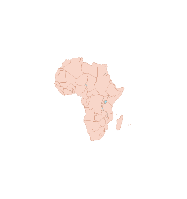
Africa
Central Asia
East Asia

Southern Asia

Middle East

Australia

Europe

Russia

South America
Central America

North America
Canada

USA

"Smaller mobile devices such as PDAs and smartphones typically use the WIMP elements with different unifying metaphors, due to constraints in space and available input devices. Applications for which WIMP is not well suited may use newer interaction techniques, collectively named as post-WIMP user interfaces.
As of 2011, some touch-screen-based operating systems such as Apple's iOS (iPhone) and Android use the class of GUIs named post-WIMP. These support styles of interaction using more than one finger in contact with a display, which allows actions such as pinching and rotating, which are unsupported by one pointer and mouse." [Graphical user interface. Wikipedia]
"In computing post-WIMP comprises work on user interfaces, mostly graphical user interfaces, which attempt to go beyond the paradigm of windows, icons, menus and a pointing device, i.e. WIMP interfaces. ...
However WIMP interfaces are not optimal for working with complex tasks such as computer-aided design, working on large amounts of data simultaneously, or interactive games. WIMPs are usually pixel-hungry, so given limited screen real estate they can distract attention from the task at hand. Thus, custom interfaces can better encapsulate workspaces, actions, and objects for specific complex tasks. Applications for which WIMP is not well suited include those requiring continuous input signals, showing 3D models, or simply portraying an interaction for which there is no defined standard widget.
Interfaces based on these considerations, now called "post-WIMP", have made their way to the general public. Examples include the interface of the classic MP3 player iPod and a bank's automated teller machine screen." [Post-WIMP. Wikipedia]
The example "iPhone OS (iOS) graphic user interface (GUI) - Activity indicator view" was created using the ConceptDraw PRO diagramming and vector drawing software extended with the Graphic User Interface solution from the Software Development area of ConceptDraw Solution Park.
iPhone GUI
-graphic-user-interface-(gui)---activity-indicator-view.png--diagram-flowchart-example.png)
- Office space plan | International space station clipart | Working with ...
- | Working with Space | Data Flow Diagrams | Big Data
- Office layout plan | Office layout plan | Office space plan | Peninsula ...
- Basic Flowchart Symbols and Meaning | Work Flow Process Chart ...
- Basic Flowchart Symbols and Meaning | Structured Systems ...
- Office Layout Plans | Office Layout | Interior Design Office Layout ...
- Office Working Room Sample
- Office Layout Plans | Office plan - Cubicle layout | Design elements ...
- Office plan - Cubicle layout | Office Layout Plans | Building Drawing ...
- Satellite telecom network diagram | Mobile satellite communication ...
- Design elements - Cubicles and work surfaces | Office plan - Cubicle ...
- Design elements - Semiconductor
- Cubicles and work surfaces - Vector stencils library | Building ...
- Bar Diagrams for Problem Solving. Create space science bar charts ...
- Design elements - Furniture | Design elements - Office furniture ...
- Interior Design Office Layout Plan Design Element | Office plan ...
- International space station clipart | Aerospace - Design Elements ...
- Stractural Working Drawing Symbols
- How To use Furniture Symbols for Drawing Building Plan | Cafe and ...
- How to Change the Working Time in a Project | How to Create an ...