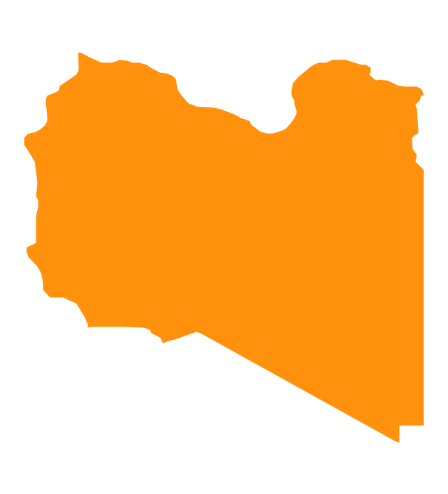
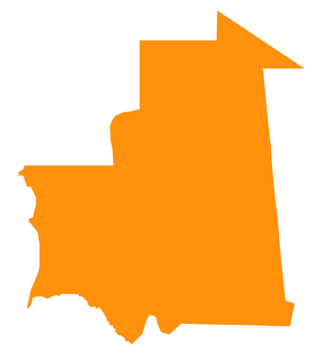
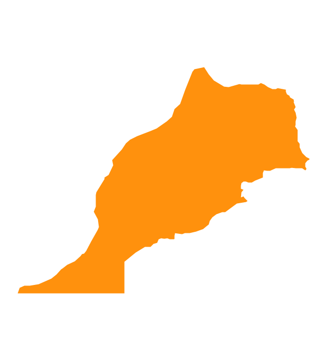
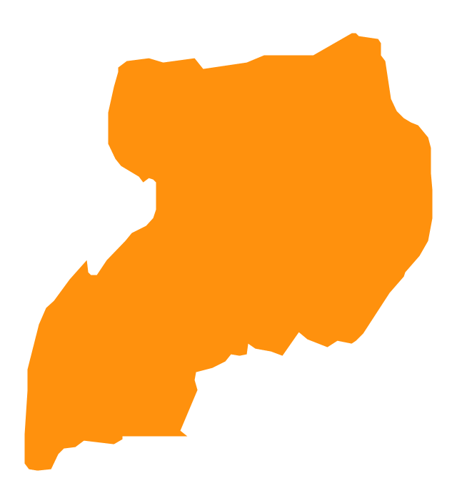
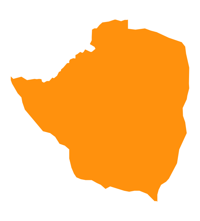
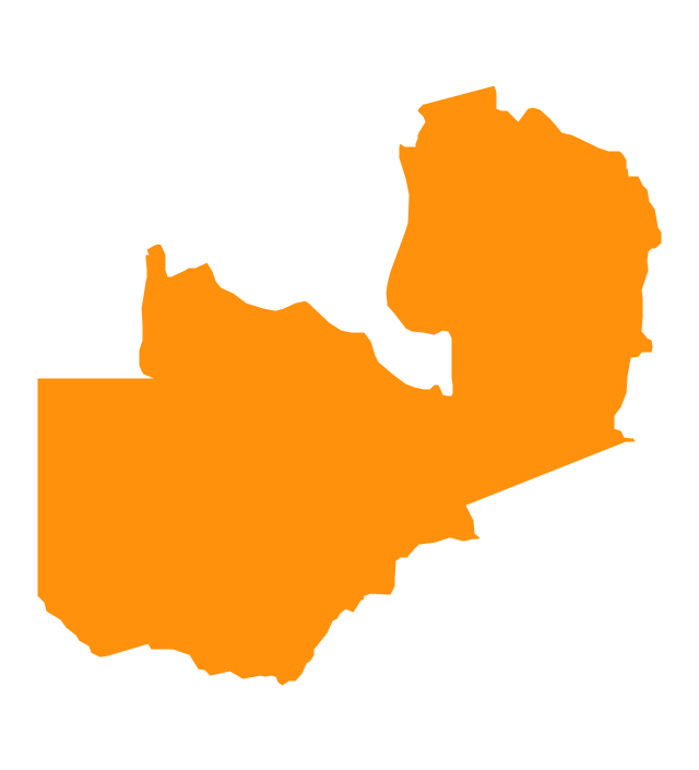
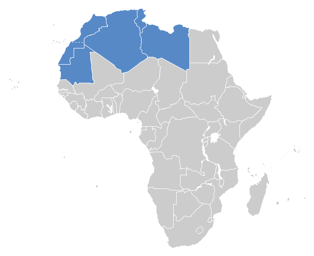
"The Maghreb is usually defined as much or most of the region of Northwest Africa, west of Egypt. The traditional definition as being the region including the Atlas Mountains and the coastal plains of Morocco, Algeria, Tunisia, and Libya, was later superseded, especially since the 1989 formation of the Arab Maghreb Union, by the inclusion of Mauritania and of the disputed territory of Western Sahara (mostly controlled by Morocco)." [Maghreb. Wikipedia]
This Maghreb map example was redesigned using ConceptDraw PRO diagramming and vector drawing software from the Wikimedia Commons file: Maghreb.png.
[commons.wikimedia.org/ wiki/ File:Maghreb.png]
The political map example "Maghreb countries" is included in the Continent Map solution from Maps area of ConceptDraw Solution Park.
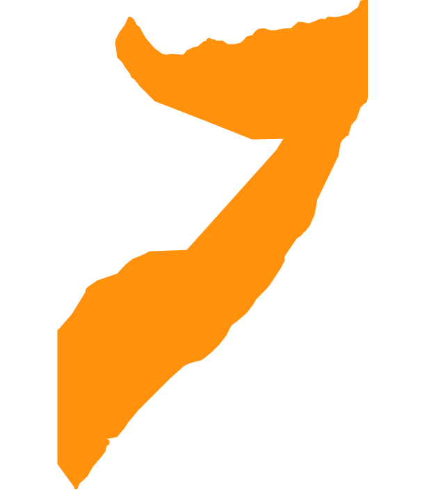
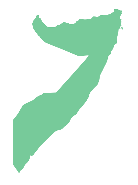
Geo Map - Africa - Somalia
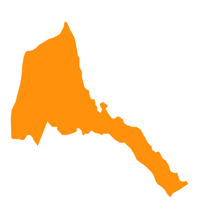
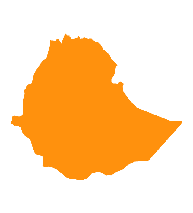
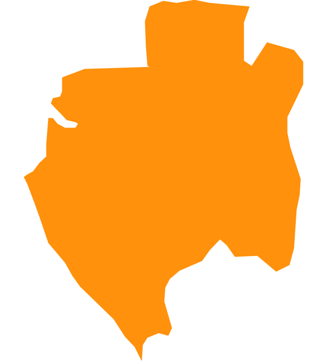
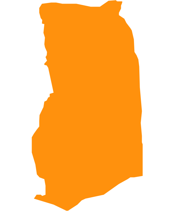
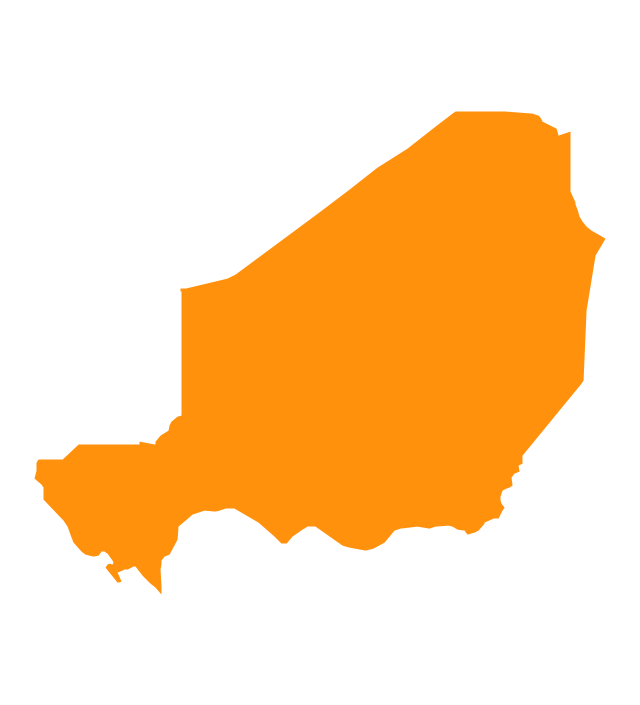
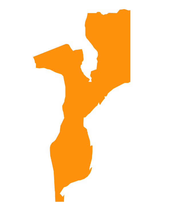
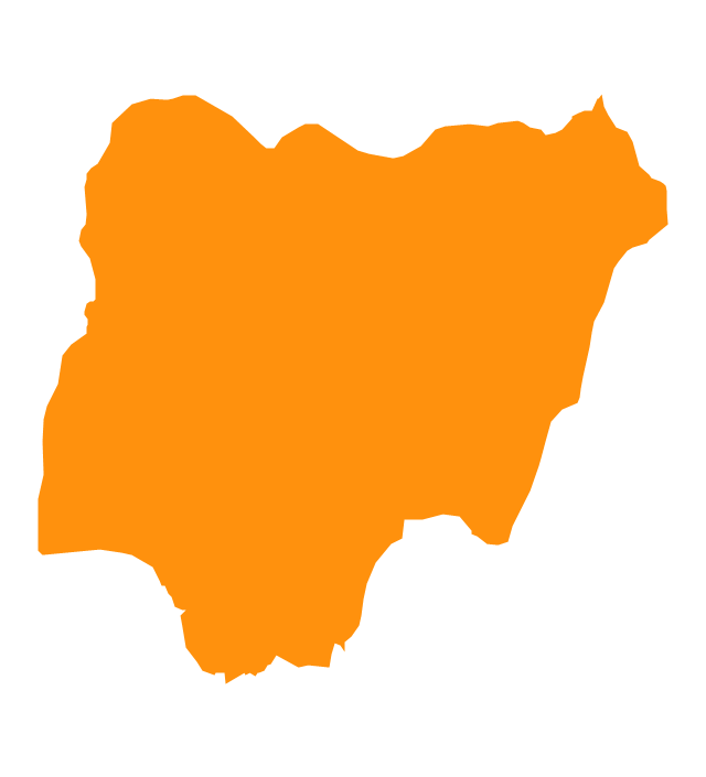
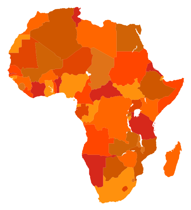
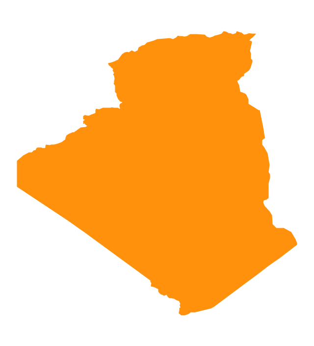
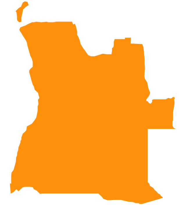
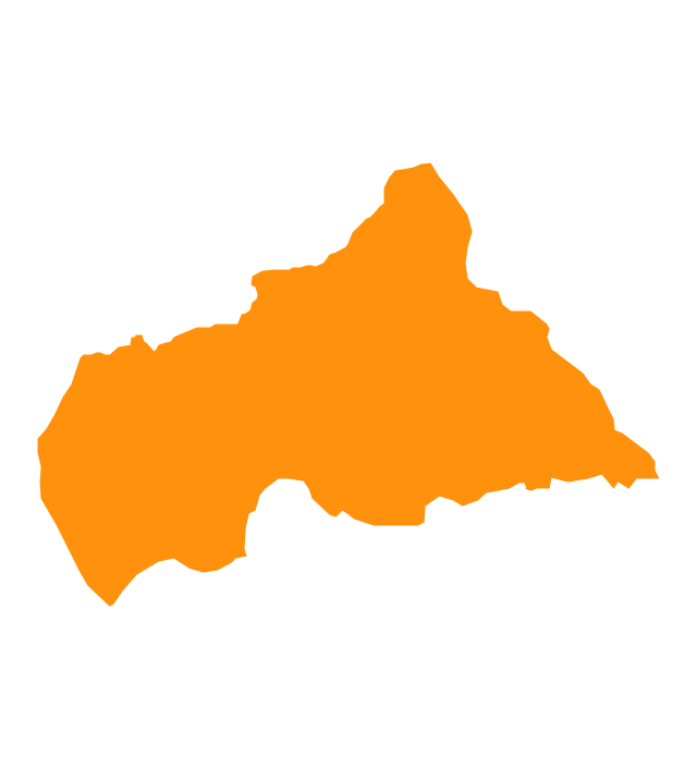
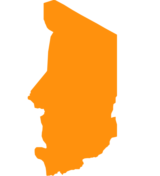
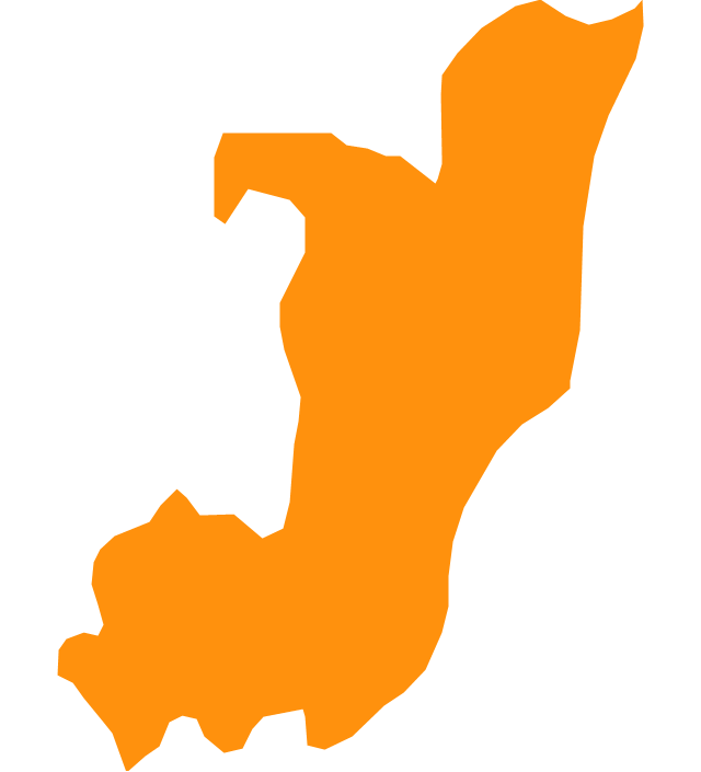
Somalia, officially the Federal Republic of Somalia, is a country located in the Horn of Africa. The vector stencils library Somalia contains contours for ConceptDraw PRO diagramming and vector drawing software. This library is contained in the Continent Maps solution from Maps area of ConceptDraw Solution Park.The vector stencils library "Africa" contains 51 country contours for drawing thematic maps of Africa.
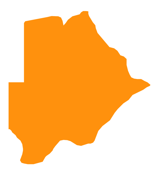
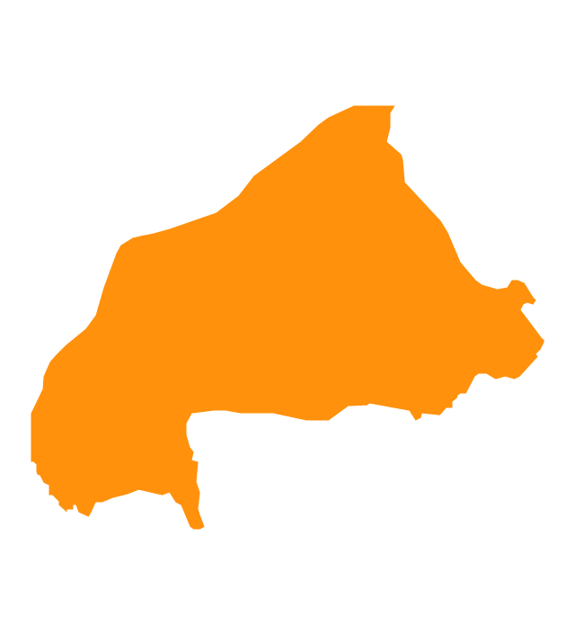
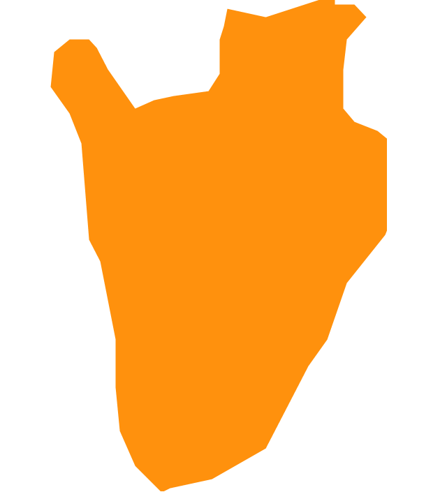
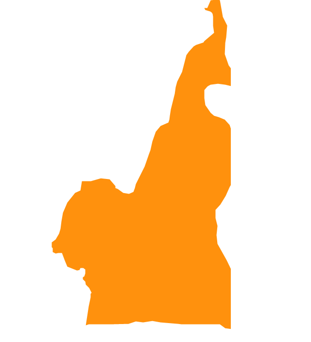
Use it in your spatial infographics for visual representation of geospatial information, statistics and quantitative data in the ConceptDraw PRO diagramming and vector drawing software extended with the Spatial Infographics solution from the area "What is Infographics" of ConceptDraw Solution Park.
Use it in your spatial infographics for visual representation of geospatial information, statistics and quantitative data in the ConceptDraw PRO diagramming and vector drawing software extended with the Spatial Infographics solution from the area "What is Infographics" of ConceptDraw Solution Park.
- Africa flags - Stencils library | Mozambique Map Plain
- Maghreb countries - Political map | Geo Map - Africa - Morocco | Geo ...
- Geo Map - Africa - Nigeria | West Africa countries | Geo Map - Africa ...
- Geo Map - Africa - Egypt | Geo Map - Asia - Israel | Geo Map - Africa ...
- Map Of Maghreb Countries
- Geo Map - Africa - Tunisia | Maghreb countries - Political map | Geo ...
- Maghreb countries - Political map | Geo Map - Africa - Morocco ...
- Morocco Map Vector Png
- Maghreb countries - Political map
- Geo Map - Africa - Egypt | Egypt timeline of communication ...
- Iraq Location On Map Png
- Arab Maghreb Union Map
- Geo Map - Africa - Nigeria | Africa - Vector stencils library | Geo Map ...
- East Africa - Political map | West Africa countries | Geo Map - Africa ...
- Geo Map - Africa - Nigeria | West Africa countries | Africa - Vector ...
- Geo Map - Africa - Western Sahara | Africa - Vector stencils library ...
- Geo Map - Africa - South Sudan
- Middle East - Political map | South America - Political map | South ...
- East Africa - Political map | West Africa countries | Geo Map - Africa ...
- Map of the African Union with Suspended States | Geo Map - Africa ...

-africa---vector-stencils-library.png--diagram-flowchart-example.png)
