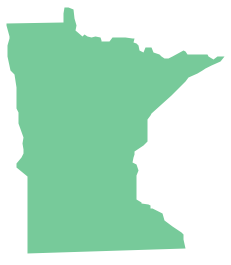
Geo Map - USA - Minnesota
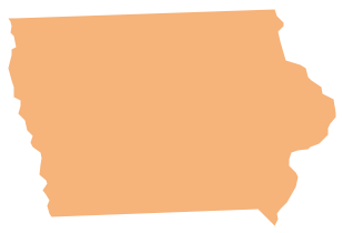
Minnesota is a U.S. state in the Midwestern United States. The vector stencils library Minnesota contains contours for ConceptDraw DIAGRAM diagramming and vector drawing software. This library is contained in the Continent Maps solution from Maps area of ConceptDraw Solution Park.Geo Map - USA - Iowa
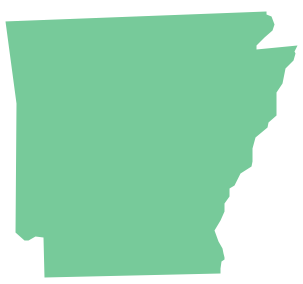
Iowa is a U.S. state in the Midwestern United States, a region sometimes called the "American Heartland". The vector stencils library Iowa contains contours for ConceptDraw DIAGRAM diagramming and vector drawing software. This library is contained in the Continent Maps solution from Maps area of ConceptDraw Solution Park.Geo Map - USA - Arkansas
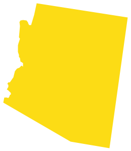
Arkansas is a state located in the Southern region of the United States. The vector stencils library Arkansas contains contours for ConceptDraw DIAGRAM diagramming and vector drawing software. This library is contained in the Continent Maps solution from Maps area of ConceptDraw Solution Park.Geo Map - USA - Arizona
Arizona is a state in the southwestern region of the United States. The vector stencils library Arizona contains contours for ConceptDraw DIAGRAM diagramming and vector drawing software. This library is contained in the Continent Maps solution from Maps area of ConceptDraw Solution Park.Geo Map - USA - North Dakota
North Dakota is the 39th state of the United States, having been admitted to the union on November 2, 1889. The vector stencils library North Dakota contains contours for ConceptDraw DIAGRAM diagramming and vector drawing software. This library is contained in the Continent Maps solution from Maps area of ConceptDraw Solution Park.Geo Map — USA — Oklahoma
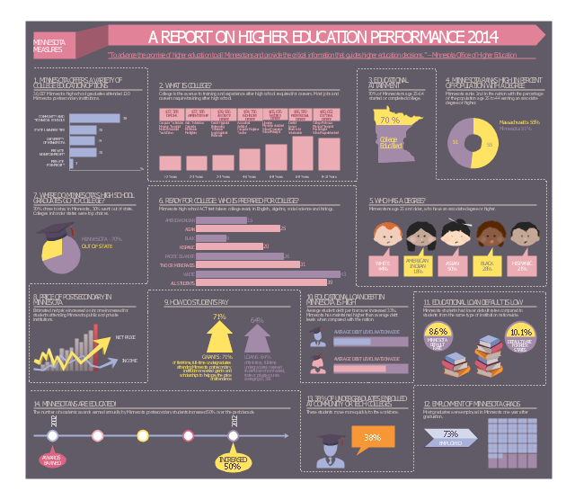
Oklahom is a state located in the South Central United States. The vector stencils library Oklahoma contains contours for ConceptDraw DIAGRAM diagramming and vector drawing software. This library is contained in the Continent Maps solution from Maps area of ConceptDraw Solution Park.This example was designed on the base of infographic "Minnesota measures 2014. A report on higher education performance" from the website of the Minnesota Office of Higher Education (OHE).
"The Minnesota Office of Higher Education is a cabinet-level state agency providing students with financial aid programs and information to help them gain access to postsecondary education. The agency also serves as the state’s clearinghouse for data, research and analysis on postsecondary enrollment, financial aid finance and trends." [ohe.state.mn.us/ pdf/ MN_ MeasuresInfographic.pdf]
The infographic example "Minnesota measures" was created using the ConceptDraw PRO diagramming and vector drawing software extended with the Education Infographics solition from the area "Business Infographics" in ConceptDraw Solution Park.
Used Solutions
Maps
>
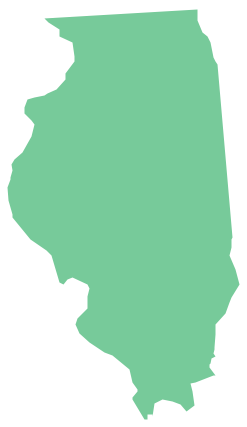
Geo Map - USA - Illinois
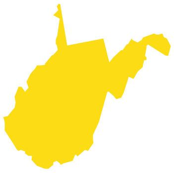
Illinois is a state in the Midwestern United States. It is the 5th most populous and 25th most extensive state, and is often noted as a microcosm of the entire country. The vector stencils library Illinois contains contours for ConceptDraw DIAGRAM diagramming and vector drawing software. This library is contained in the Continent Maps solution from Maps area of ConceptDraw Solution Park.Geo Map - USA - West Virginia
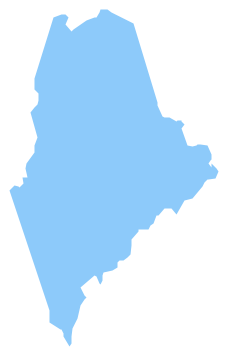
West Virginia is a U.S. state located in the Appalachian region of the Southern United States. The vector stencils library West Virginia contains contours for ConceptDraw DIAGRAM diagramming and vector drawing software. This library is contained in the Continent Maps solution from Maps area of ConceptDraw Solution Park.Geo Map - USA - Maine
Maine is a state in the New England region of the northeastern United States, bordered by the Atlantic Ocean to the east and south; New Hampshire to the west; the Canadian provinces of Quebec to the northwest; and New Brunswick to the northeast. The vector stencils library Maine contains contours for ConceptDraw DIAGRAM diagramming and vector drawing software. This library is contained in the Continent Maps solution from Maps area of ConceptDraw Solution Park.- Geo Map - USA - Minnesota | Minnesota measures - Infogram ...
- Geo Map - USA - Minnesota | Management map US - Vector stencils ...
- Minnesota measures - Infogram | Education infogram - Template ...
- Geo Map - USA - Minnesota
- Geo Map - USA - Oklahoma | Geo Map - USA - Minnesota | Geo Map ...
- Geo Map - USA - Minnesota | Geo Map - South America Continent ...
- Washington State Vector
- How To Draw a Diagram | Examples of Flowcharts, Org Charts and ...
- Fishbone diagram - HAN project | Top iPad Business Process ...
- Geo Map - USA - Washington | Management map US - Vector ...
