Geo Map - Asia
ConceptDraw is idea to draw the geological maps of Asia from the pre-designed vector geo map shapes. Use Geo Map Asia to draw thematic maps, geospatial infographics and vector illustrations for your business documents, presentations and websites.
 Continent Maps
Continent Maps solution extends ConceptDraw PRO software with templates, samples and libraries of vector stencils for drawing the thematic maps of continents, state maps of USA and Australia.
Geo Map - USA - Pennsylvania
Pennsylvania, officially the Commonwealth of Pennsylvania, is a U.S. state that is located in the Northeastern and Mid-Atlantic regions of the United States, and the Great Lakes region. The vector stencils library Pennsylvania contains contours for ConceptDraw PRO diagramming and vector drawing software. This library is contained in the Continent Maps solution from Maps area of ConceptDraw Solution Park.Geo Map - USA - New Jersey
New Jersey is a state in the Northeastern and Middle Atlantic regions of the United States. The vector stencils library New Jersey contains contours for ConceptDraw PRO diagramming and vector drawing software. This library is contained in the Continent Maps solution from Maps area of ConceptDraw Solution Park.Geo Map - USA - Maine
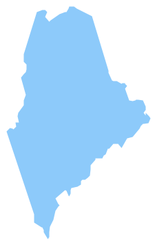
Maine is a state in the New England region of the northeastern United States, bordered by the Atlantic Ocean to the east and south; New Hampshire to the west; the Canadian provinces of Quebec to the northwest; and New Brunswick to the northeast. The vector stencils library Maine contains contours for ConceptDraw PRO diagramming and vector drawing software. This library is contained in the Continent Maps solution from Maps area of ConceptDraw Solution Park.Geo Map - USA - Wisconsin
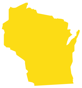
Wisconsin is a U.S. state located in the north-central United States, in the Midwest and Great Lakes regions. The vector stencils library Wisconsin contains contours for ConceptDraw PRO diagramming and vector drawing software. This library is contained in the Continent Maps solution from Maps area of ConceptDraw Solution Park.Geo Map - USA - New York
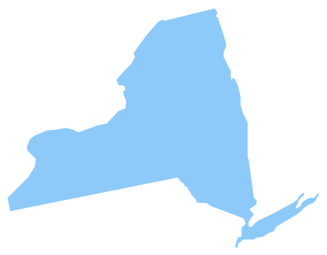
New York is a state in the Northeastern and Mid-Atlantic regions of the United States. The vector stencils library New York contains contours for ConceptDraw PRO diagramming and vector drawing software. This library is contained in the Continent Maps solution from Maps area of ConceptDraw Solution Park.Geo Map - USA - Maryland
Maryland is a U.S. state located in the Mid-Atlantic region of the United States, bordering Virginia, West Virginia, and Washington, D.C. to its south and west; Pennsylvania to its north; and Delaware to its east. The vector stencils library Maryland contains contours for ConceptDraw PRO diagramming and vector drawing software. This library is contained in the Continent Maps solution from Maps area of ConceptDraw Solution Park.- Middle East - Political map | Geo Map - Asia | East Asia - Political ...
- West Africa countries | Geo Map - Africa | Middle East and North ...
- Middle East - Political map | Geo Map - Asia | MENA's ( Middle East ...
- Asian Map Drawing Wiki How
- Geo Map - Asia - Papua New Guinea | Southwest Asia - Political ...
- Middle East Map Png
- Continent Maps | Central Asia - Political map | Canada political map ...
- South Asia - Political map | Thematic maps - Vector stencils library ...
- Iraq Map Png
- Geo Map - Africa - Egypt | Geo Map - Asia - Israel | Geo Map - Africa ...
- East Africa - Political map
- West Africa Map Png
- Asia Continent Political Map
- Tanzania Map Png
- Malawi Map Png
- Draw Of Tanzania Map Png
- South America regions - Political map | Andean states - Political map ...
- Middle East Vector
- Iran Map
- Map East Asia

