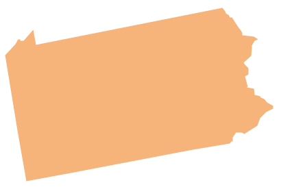
Geo Map - USA - Pennsylvania
Geo Map - USA - New Mexico

Geo Map - USA - Tennesse

Geo Map - USA - West Virginia

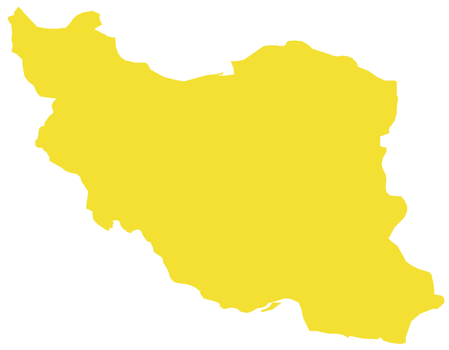
Geo Map - Asia - Iran
Geo Map - USA - New York

Map of USA

Geo Map - USA - Maryland

Geo Map — United States of America Map

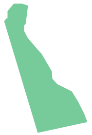
Geo Map - USA - Delaware
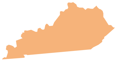
Geo Map - USA - Kentucky
Geo Map - USA - New Jersey

Geo Map — USA — Montana

Geo Map - USA - Utah

Geo Map — USA — Florida

- Geo Map - USA - Maryland | Geo Map - USA - Pennsylvania | Geo ...
- Geo Map - USA - Delaware
- Geo Map - USA - West Virginia
- Geo Map - USA - Maryland
- Geo Map - USA - Maryland
- Geo Map - USA - Ohio
- Geo Map - USA - Maryland | Geo Map - USA - New Jersey | Geo ...
- Geo Map - USA - Maryland
- Geo Map - United States of America Map | Geo Map - USA - West ...
- Geo Map - USA - Washington | Geo Map - United States of America ...
- Geo Map - USA - West Virginia
- Geo Map - South America - Mexico | Geo Map - United States of ...
- Geo Map - USA - New Jersey
- Geo Map - USA - Maryland | Management map US - Vector stencils ...
- Geo Map - USA - New Mexico
- Geo Map - USA - Georgia
- Geo Map - United States of America Map | Geo Map - USA - Maine ...
- Geo Map - USA - New Jersey
- Geo Map - United States of America Map | Geo Map - Canada ...