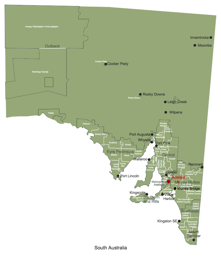
Australia Map — South Australia
“South Australia (abbreviated as SA) is a state in the southern central part of Australia. It covers some of the most arid parts of the continent. With a total land area of 983,482 square kilometres (379,725 sq mi), it is the fourth largest of Australia's states and territories. South Australia with a population of 1.7 million is a uniquely highly centralised state in Australia, with a lack of comparatively-sized rural population centres, and has over 75 percent of the state's population contained in the metropolitan capital of Adelaide with a population of 1.3 million.“
[from Wikipedia]
Regions
- Central
- Eyre Pensula
- Metropolitan Adelaide
- Murray Mallee
- Outback
- Southeast
- Southern and Hills
Local Government Areas
- Alexandrina Council
- Anangu Pitjantjatjara Yankunytjatjara
- Barossa
- Barunga West
- Ceduna
- Cleve
- Coober Pedy
- Elliston
- Flinders Ranges
- Franklin Harbour
- Goyder
- Kangaroo Island Council
- Karoonda East Murray
- Kimba
- Kingston District Council
- Lower Eyre Peninsula
- Loxton Waikerie
- Mallala
- Maralinga Tjarutja
- Mid Murray Council
- Mount Remarkable
- Naracoorte Lucindale Council
- Northern Areas Council
- Orroroo Carrieton
- Port Lincoln
- Port Pirie
- Robe
- Roxby Downs
- Southern Mallee District Council
- Streaky Bay
- Tatiara District Council
- The Coorong District Council
- Tumby Bay
- Wakefield Regional Council
- Wattle Range Council
- Wudinna
- Yalata
- Yorke Peninsula
Cities
- Adelaide
- Coober Pedy
- Gawler
- Innamincka
- Kingscote
- Kingston SE
- Leigh Creek
- Moomba
- Mount Gambier
- Murray Bridge
- Port Augusta
- Port Lincoln
- Port Pirie
- Renmark
- Roxby Downs
- Victor Harbor
- Wallaroo
- Whyalla
- Wilpena
Maps surround us everywhere in our life, study, work, traveling, they are widely used in geography, history, politics, economics, and many other fields of science and life activity. But designing of maps is usually complex and labor-intensive process. Now we have the possibility to make easier this process - ConceptDraw DIAGRAM diagramming and vector drawing software extended with Australia Map Solution from the Maps Area of ConceptDraw Solution Park will help us in easy drawing detailed Australia map.
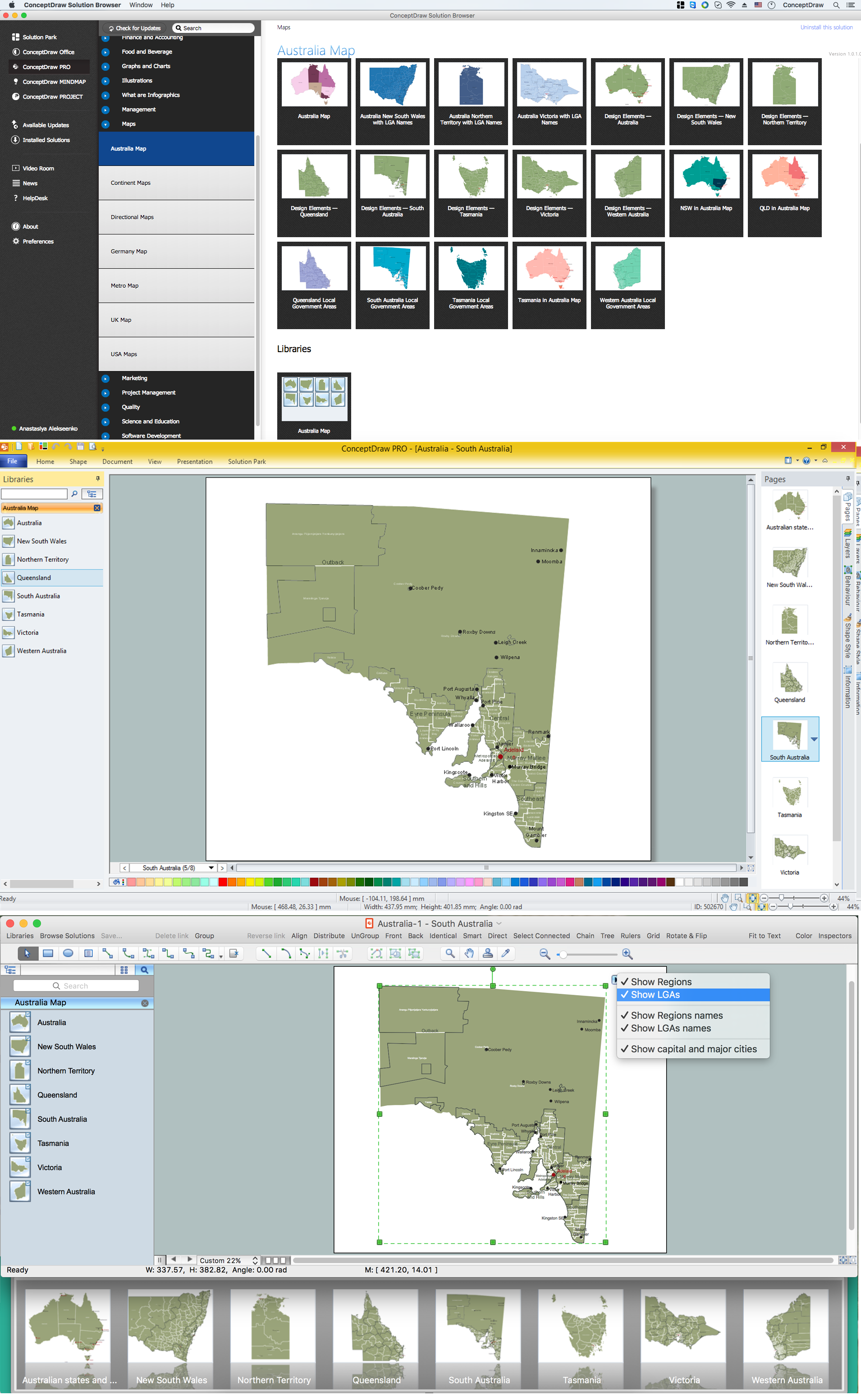
Example 1. Australia Map Solution — South Australia
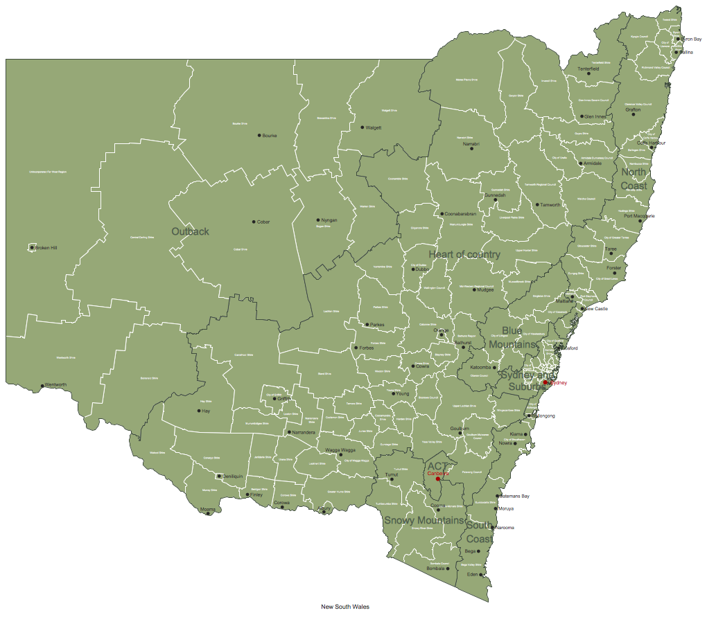
Australia Map Solution included in ConceptDraw Solution Park provides the Australia Map library with 8 design elements specially developed for easy drawing Australia maps:
These elements allow design the map of any Australia state or whole Australia map literally for the few minutes. Besides, all these objects are vector, so you can resize them without loss of quality. Highlight with color some details or regions to make your map more interesting, bright and attractive.
Australia Map Solution includes also collection of samples which are available from ConceptDraw STORE. All these example maps are the good base for variety of Australia thematic maps.
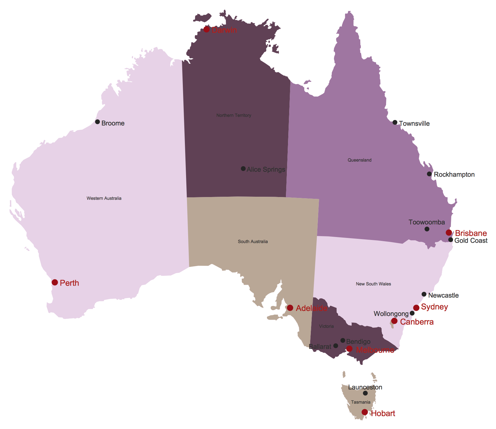
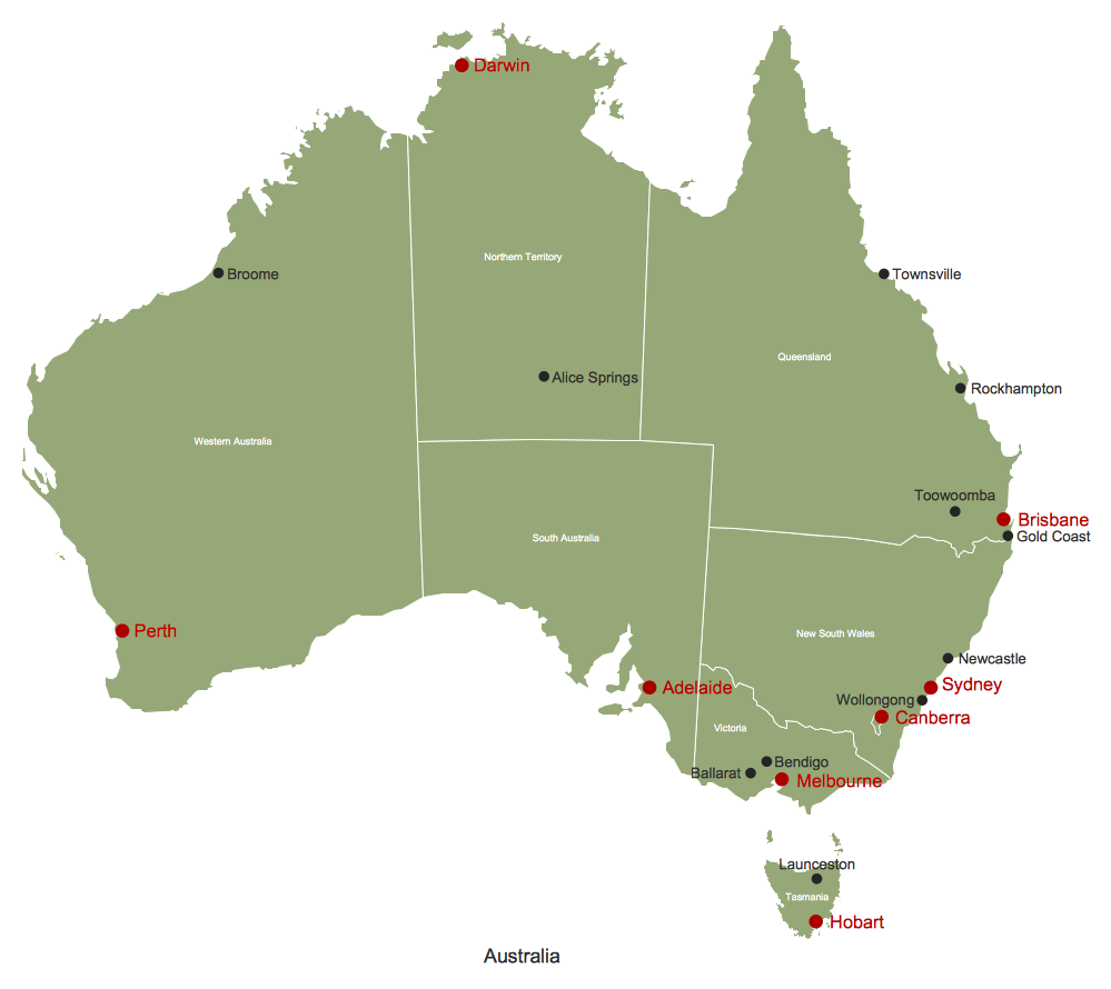
Example 2. Australia Map
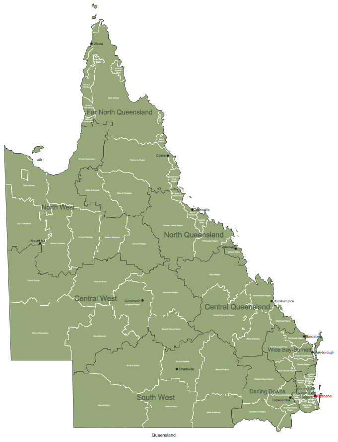
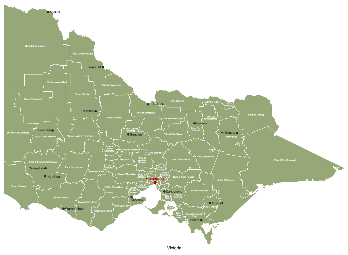
The samples you see on this page were created in ConceptDraw DIAGRAM software using the tools of the Australia Map solution. They demonstrate Australia Map and the map of Australia Queensland Local Government Areas. An experienced user spent 10 minutes creating each of these samples.
Use the Australia Map solution for ConceptDraw DIAGRAM software to design your own Australia map and thematic maps on its base quick, easy and effective.
All source documents are vector graphic documents. They are available for reviewing, modifying, or converting to a variety of formats (PDF file, MS PowerPoint, MS Visio VSDX, and many other graphic formats) from the ConceptDraw STORE. The Australia Map Solution is available for all ConceptDraw DIAGRAM or later users.

Example 3. Export ConceptDraw DIAGRAM Document to PDF File

Example 4. Export ConceptDraw DIAGRAM Document to MS PowerPoint
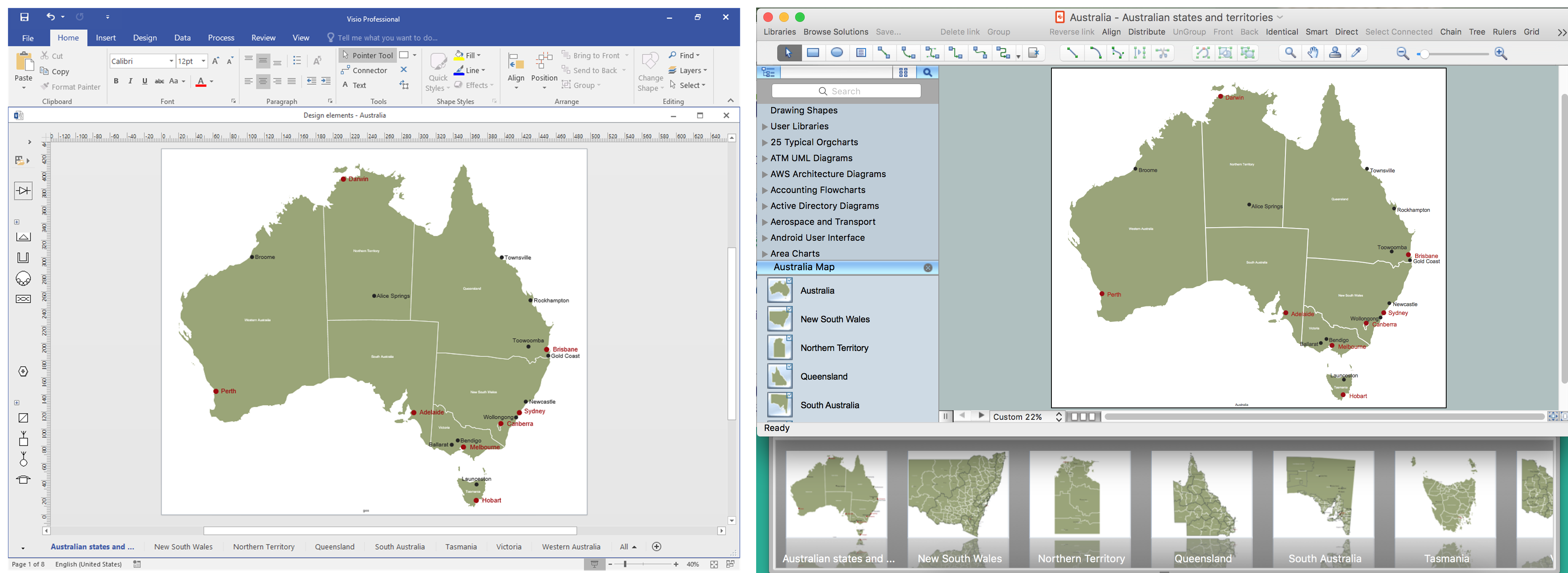
Example 5. Export ConceptDraw DIAGRAM Document to MS Visio VSDX
THREE RELATED HOW TO's:
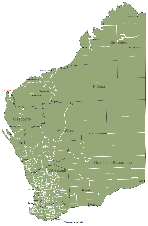
Western Australia (abbreviated as WA) is a state occupying the entire western third of Australia.
Maps surround us everywhere in our life, study, work, traveling, they are widely used in geography, history, politics, economics, and many other fields of science and life activity. But designing of maps is usually complex and labor-intensive process. Now we have the possibility to make easier this process - ConceptDraw DIAGRAM diagramming and vector drawing software extended with Australia Map Solution from the Maps Area of ConceptDraw Solution Park will help us in easy drawing detailed Australia map.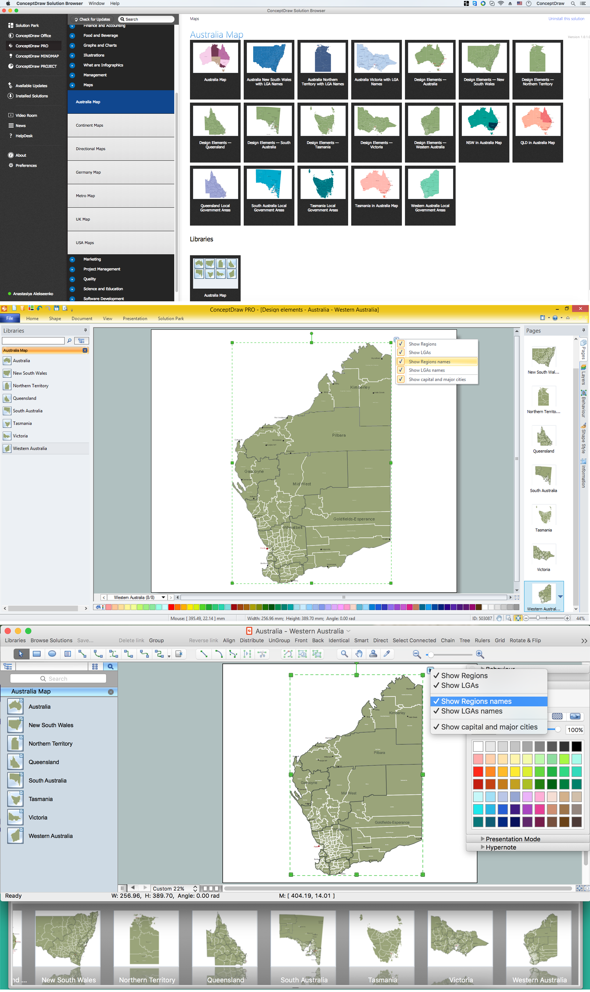
Picture: Australia Map — Western Australia
Related Solution:
A continent is one of several very large landmasses on Earth. ConceptDraw DIAGRAM diagramming and vector drawing software offers the unique Continent Maps Solution from the Maps Area which is indispensable for drawing the map of continents of the Earth.
Picture: Map of Continents
Related Solution:
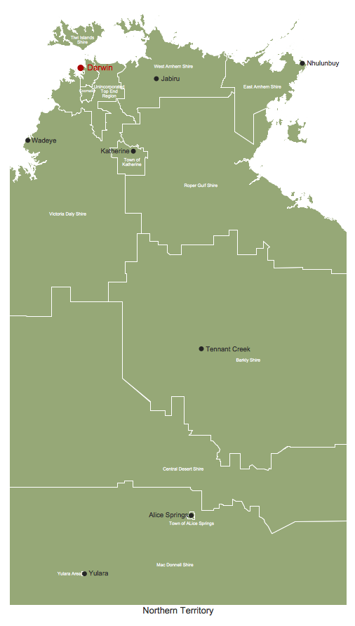
The Northern Territory (abbreviated as NT) is a federal Australian territory in the centre and central northern regions.
Maps surround us everywhere in our life, study, work, traveling, they are widely used in geography, history, politics, economics, and many other fields of science and life activity. But designing of maps is usually complex and labor-intensive process. Now we have the possibility to make easier this process - ConceptDraw DIAGRAM diagramming and vector drawing software extended with Australia Map Solution from the Maps Area of ConceptDraw Solution Park will help us in easy drawing detailed Australia map.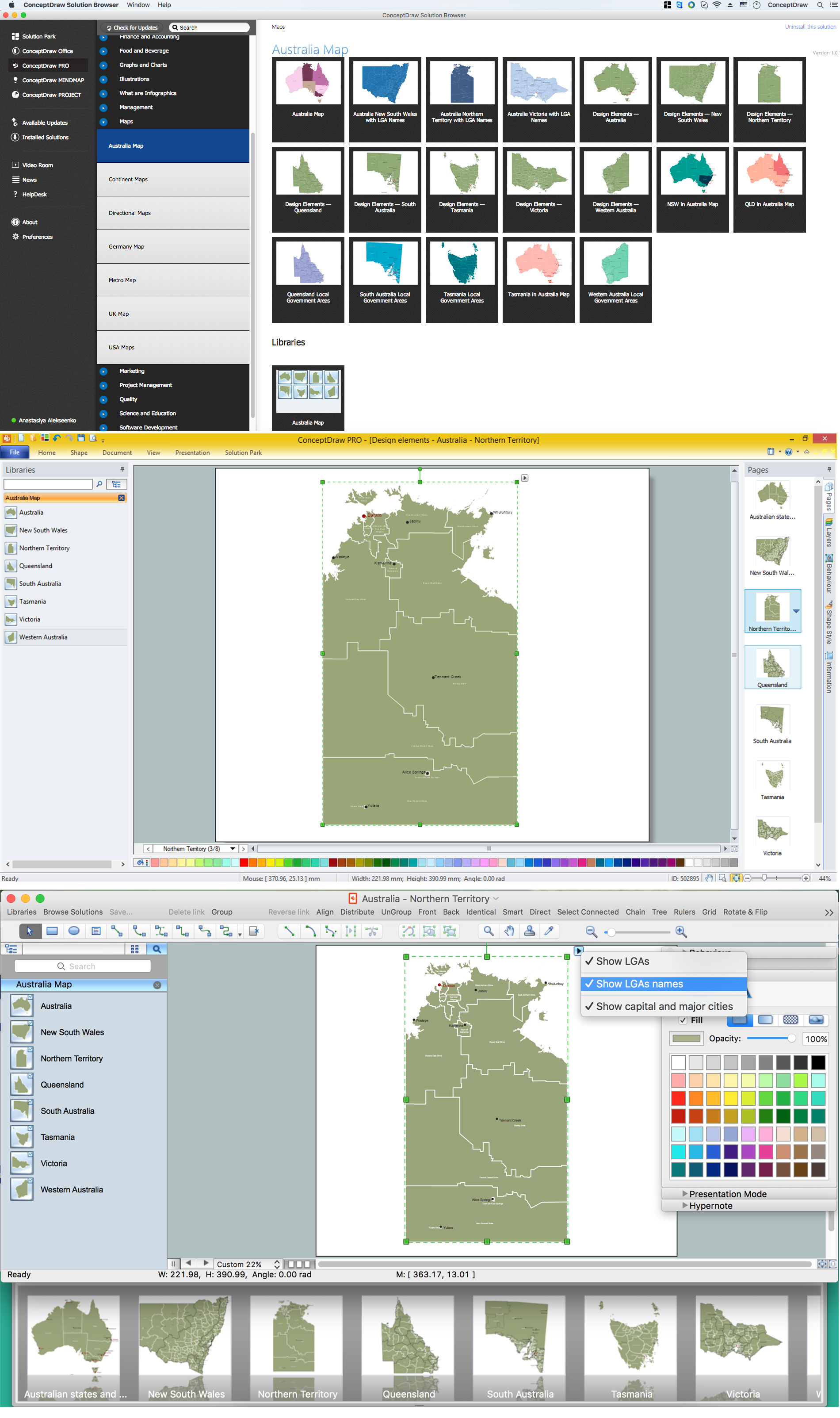
Picture: Australia Map — Northern Territory
Related Solution:

