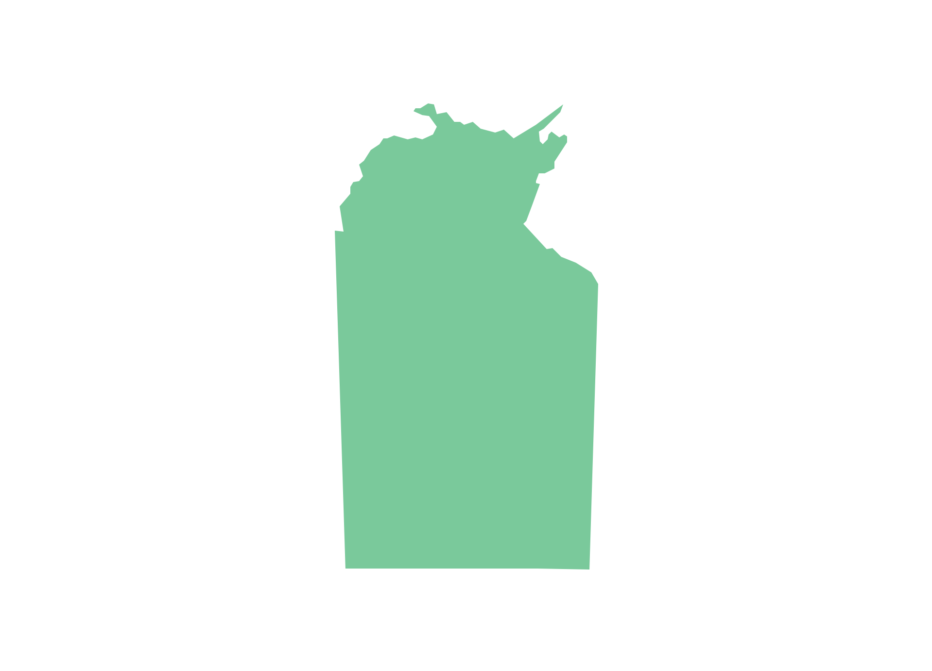
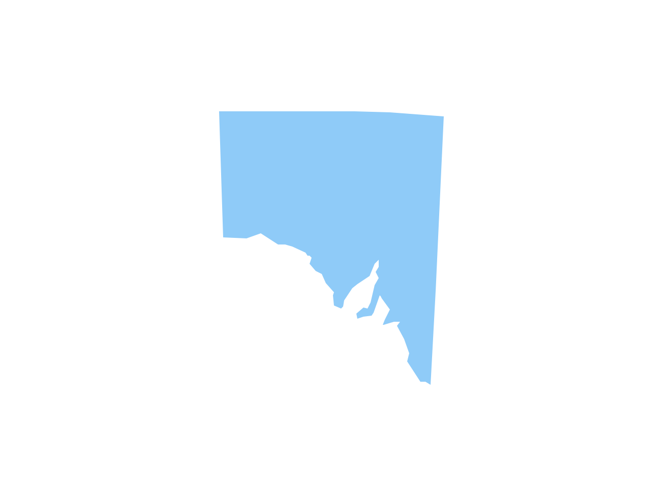
Geo Map - Australia - South Australia
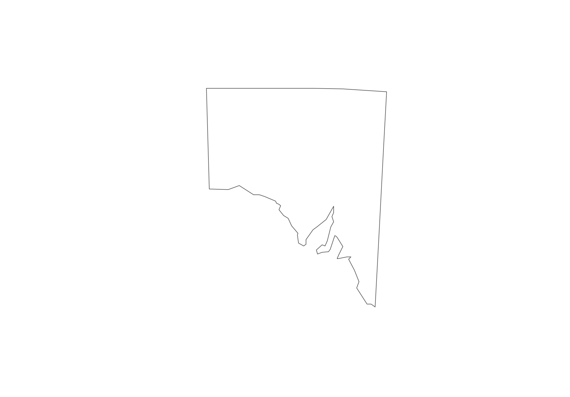
Australia map contours - South Australia
"South Australia (abbreviated as SA) is a state in the southern central part of Australia. It covers some of the most arid parts of the continent. With a total land area of 983,482 square kilometres (379,725 sq mi), it is the fourth largest of Australia's states and territories.
South Australia shares borders with all of the other mainland states, and with the Northern Territory; it is bordered to the west by Western Australia, to the north by the Northern Territory, to the north-east by Queensland, to the east by New South Wales, to the south-east by Victoria, and to the south by the Great Australian Bight and the Indian Ocean."
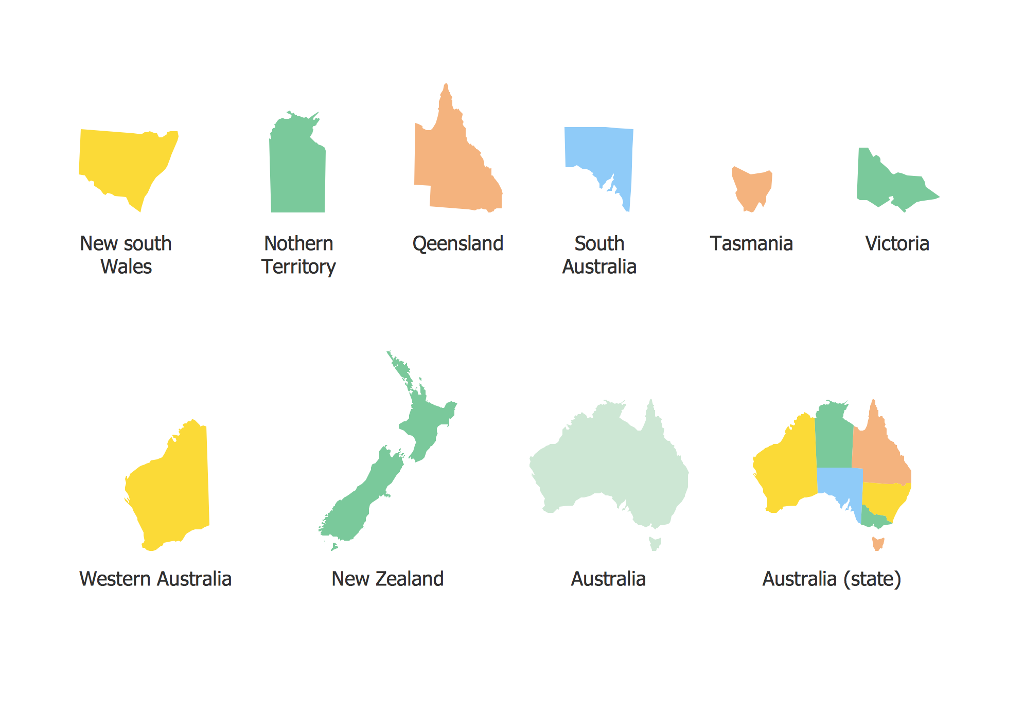
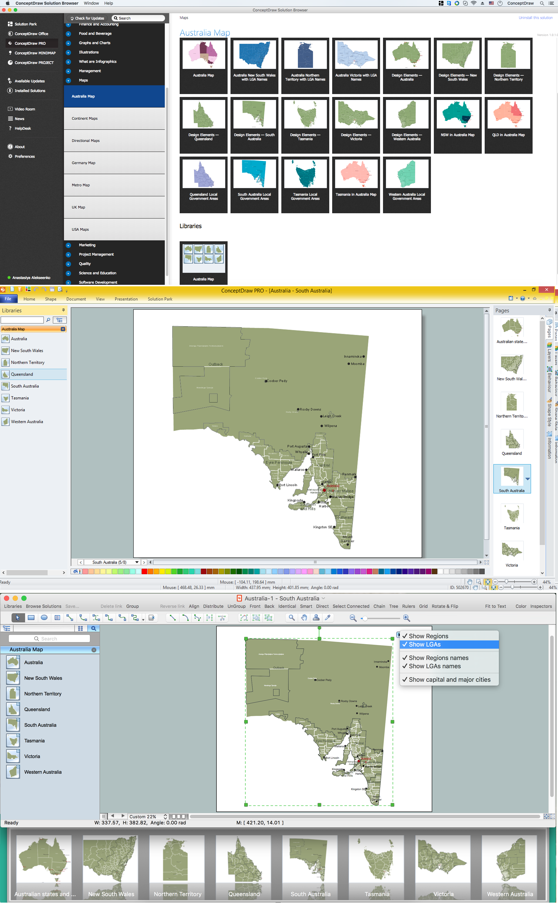
The vector stencils library Australia contains contours of the Australian states and mainland territories for ConceptDraw DIAGRAM diagramming and vector drawing software. This library is contained in the Continent Maps solution from Maps area of ConceptDraw Solution Park.

Use the Australia library to draw thematic maps, geospatial infographics and vector illustrations for your business documents, presentations and websites.
Geo Map - Australia - South Australia
Geo Map - Australia - South Australia Contour
Geo Map - Australia and New Zealand

Geo Map - Australia and New Zealand Contour
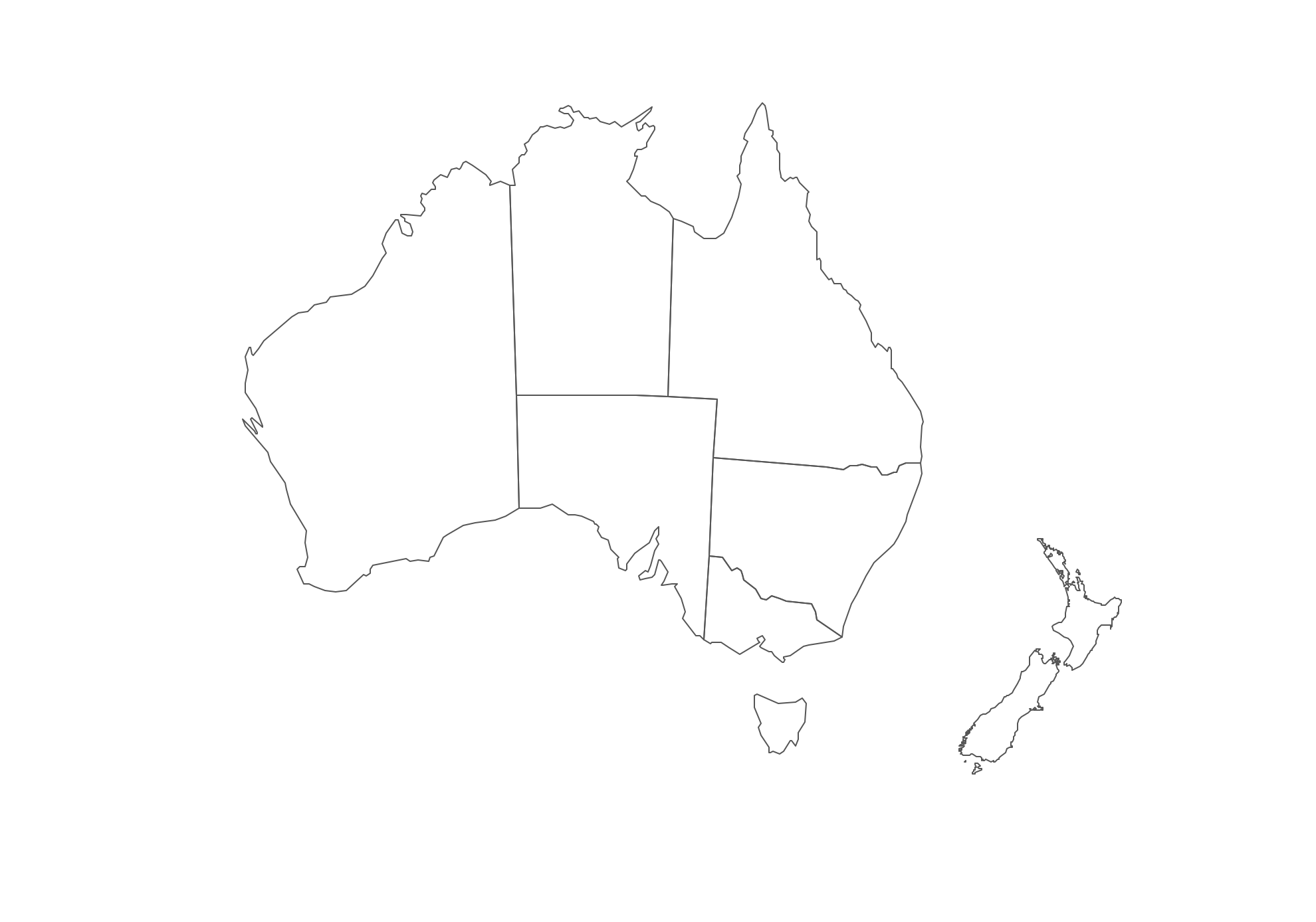
Geo Map - contours of Australian states and mainland territories and New Zealand