The vector stencils library "Transport pictograms" contains 23 vehicle pictograms.
Use it to draw transportation infograms.
The example "Transport pictograms - Vector stencils library" was created using the ConceptDraw PRO diagramming and vector drawing software extended with the Pictorial infographics solution from the area "What is infographics" in ConceptDraw Solution Park.
Use it to draw transportation infograms.
The example "Transport pictograms - Vector stencils library" was created using the ConceptDraw PRO diagramming and vector drawing software extended with the Pictorial infographics solution from the area "What is infographics" in ConceptDraw Solution Park.
Tractor
Forklift truck

Truck
Plane

Aircraft

Helicopter

Balloon

Rocket

Liner
Sailboat

Locomotive
Train
Subway
Car
Taxi
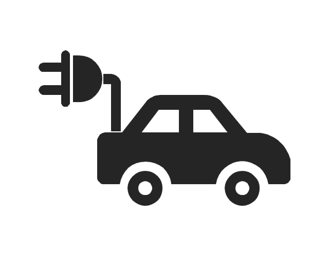
Electric car
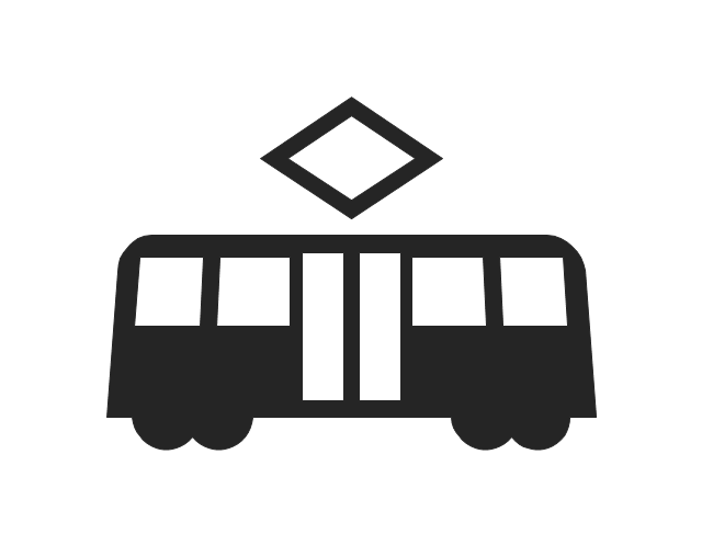
Tram
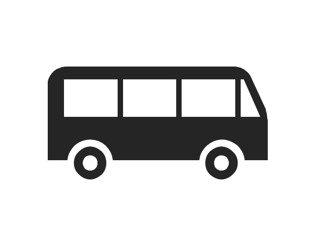
Bus
Aerial tramway

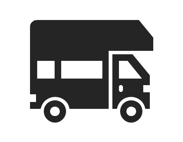
Trailer
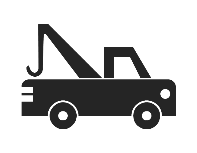
Tow truck
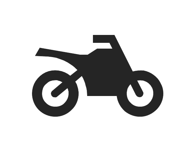
Motorcycle
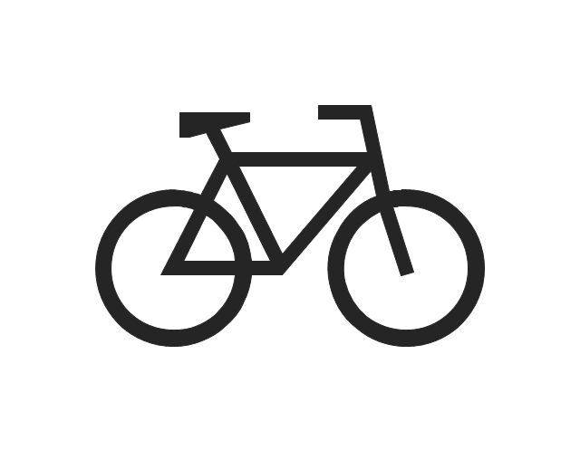
Bicycle
The vector stencils library "Transport pictograms" contains 23 vehicle pictograms.
Use it to draw transportation infograms.
The example "Transport pictograms - Vector stencils library" was created using the ConceptDraw PRO diagramming and vector drawing software extended with the Pictorial infographics solution from the area "What is infographics" in ConceptDraw Solution Park.
Use it to draw transportation infograms.
The example "Transport pictograms - Vector stencils library" was created using the ConceptDraw PRO diagramming and vector drawing software extended with the Pictorial infographics solution from the area "What is infographics" in ConceptDraw Solution Park.
Tractor
Forklift truck
Truck
Plane
Aircraft
Helicopter
Balloon
Rocket
Liner
Sailboat
Locomotive
Train
Subway
Car
Taxi
Electric car
Tram
Bus
Aerial tramway
Trailer
Tow truck
Motorcycle
Bicycle
"A transit map is a topological map in the form of a schematic diagram used to illustrate the routes and stations within a public transport system - whether this be bus lines, tramways, rapid transit, commuter rail or ferry routes. The main components are color coded lines to indicate each line or service, with named icons to indicate stations or stops. ...
There are a growing number of books, websites and works of art on the subject of urban rail and metro map design and use. There are now hundreds of examples of diagrams in an urban rail or metro map style that are used to represent everything from other transit networks like buses and national rail services to sewerage systems and Derbyshire public houses." [Transit map. Wikipedia]
The transportation map template for the ConceptDraw PRO diagramming and vector drawing software is included in the Spatial Infographics solution from the area "What is Infographics" of ConceptDraw Solution Park.
Transit map

"A transit map is a topological map in the form of a schematic diagram used to illustrate the routes and stations within a public transport system - whether this be bus lines, tramways, rapid transit, commuter rail or ferry routes. The main components are color coded lines to indicate each line or service, with named icons to indicate stations or stops.
Transit maps can be found in the transit vehicles, at the platforms or in printed timetables. Their primary function is to help users to efficiently use the public transport system, including which stations function as interchange between lines. Unlike conventional maps, transit maps are usually not geographically accurate - instead they use straight lines and fixed angles, and often illustrate a fixed distance between stations, compressing those in the outer area of the system and expanding those close to the center." [Transit map. Wikipedia]
This transit map template for the ConceptDraw PRO diagramming and vector drawing software is included in the Metro Map solution from the Maps area of ConceptDraw Solution Park.
www.conceptdraw.com/ solution-park/ maps-metro-map
Transit map

"The term ski lift generally refers to any cable transport device that carries skiers up a hill. A ski lift may fall into one of the following three main classes:
Aerial lifts, including:
Aerial tramways,
Chairlifts,
Detachable chairlifts,
Funifors,
Funitels,
Gondola lifts,
Telemix.
Surface lifts, including:
J-bars,
T-bars,
Magic carpets,
Platter / Button / Poma lifts,
Rope tows & handle tows.
Cable railways, including:
Funiculars." [Ski lift. Wikipedia]
The winter sport illustration example "Ski lift in the snow capped mountains" was created using the ConceptDraw PRO diagramming and vector drawing software extended with the Winter Sports solution from the Sport area of ConceptDraw Solution Park.
Winter sport illustration

How to draw Metro Map style infographics? (New York)

The vector stencils library "Transport map" contains 96 signs and pictograms for drawing road and transit maps.
"A transit map is a topological map in the form of a schematic diagram used to illustrate the routes and stations within a public transport system - whether this be bus lines, tramways, rapid transit, commuter rail or ferry routes. The main components are color coded lines to indicate each line or service, with named icons to indicate stations or stops.
Transit maps can be found in the transit vehicles, at the platforms or in printed timetables. Their primary function is to help users to efficiently use the public transport system, including which stations function as interchange between lines. Unlike conventional maps, transit maps are usually not geographically accurate - instead they use straight lines and fixed angles, and often illustrate a fixed distance between stations, compressing those in the outer area of the system and expanding those close to the center." [Transit map. Wikipedia]
The pictograms example "Design elements - Transport map" was created using the ConceptDraw PRO diagramming and vector drawing software extended with the Spatial Infographics solution from the Maps area of ConceptDraw Solution Park.
Transport map pictograms

- Metro Tram Png
- Truck Png Black And White
- Passenger Ship Png
- Tractor Png
- Truck Vector Png
- Png Yacht
- Site Plans | Design elements - Transport map | Supermarket Signs Png
- Forklift Vector Png
- Heli Shapes Png
- Helicopter Clipart Png
- Motor Truck Vectors Png
- Png Boat Ship
- Truck Png
- Car Vector Png
- Bus Png Vector
- Tram
- Aerial tramway
- Mountain Illustration Vector Png
- Png Hills
- How To Draw Indian Railway Route Map