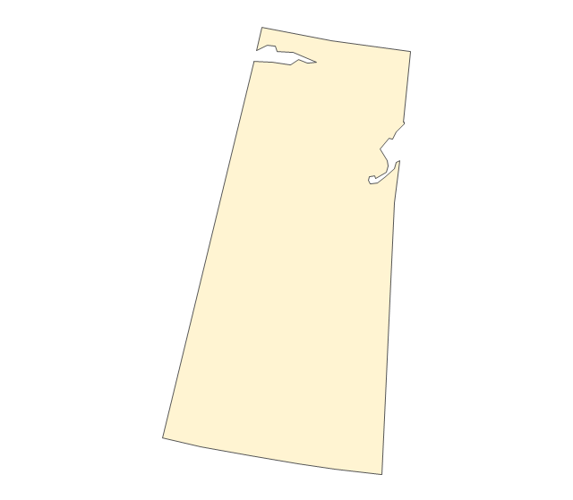
Geo Map - Canada - Ontario

The vector stencils library "Canada" contains 15 map contours for drawing thematic maps of Canada. Use it for visual representation of geospatial information, statistics and quantitative data.
"The provinces and territories of Canada combine to make up the world's second-largest country by area. Originally three provinces of British North America, New Brunswick, Nova Scotia and the Province of Canada (which would become Ontario and Quebec) united to form the new nation. Since then, Canada's external borders have changed several times, and has grown from four initial provinces to ten provinces and three territories as of 1999. The ten provinces are Alberta, British Columbia, Manitoba, New Brunswick, Newfoundland and Labrador, Nova Scotia, Ontario, Prince Edward Island, Quebec, and Saskatchewan. The three territories are Northwest Territories, Nunavut, and Yukon." [Provinces and territories of Canada. Wikipedia]
The map contours example "Canada - Vector stencils library" was created using the ConceptDraw PRO diagramming and vector drawing software extended with the Continent Maps solution from the Maps area of ConceptDraw Solution Park.
Canada
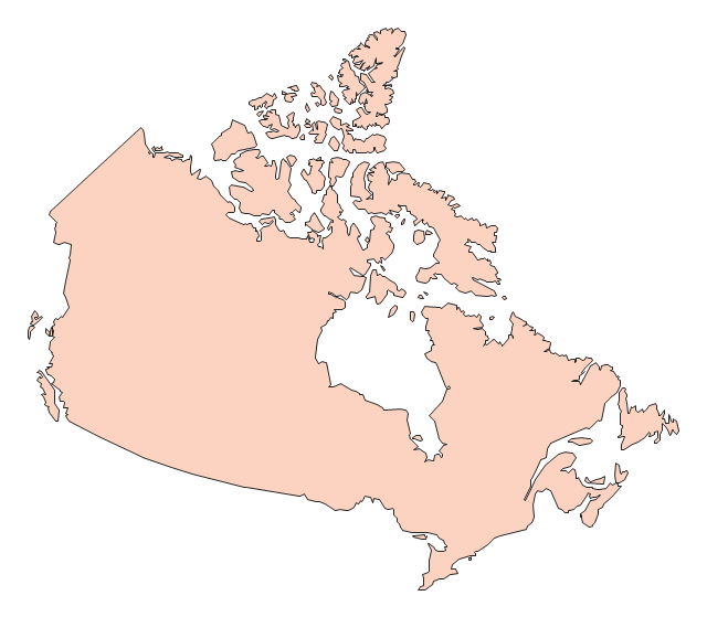
Canada (color)
-canada---vector-stencils-library.png--diagram-flowchart-example.png)
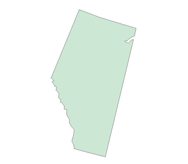
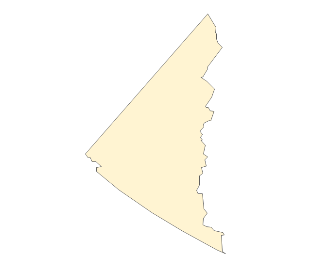
Alberta
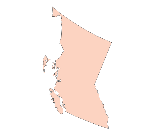
British Columbia
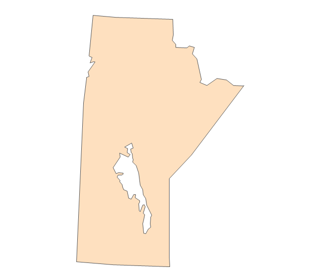
Manitoba
New Brunswick
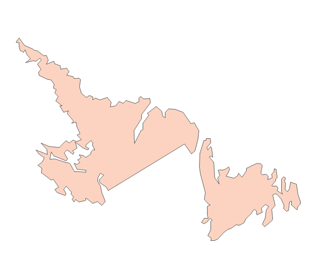
Newfoundland and Labrador
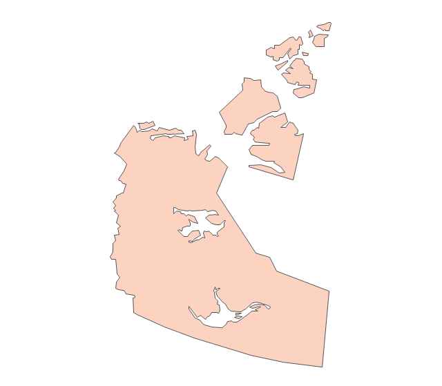
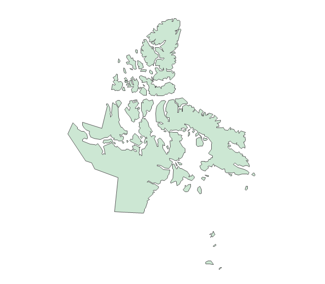
Northwest Territories
Nova Scotia
Nunavut
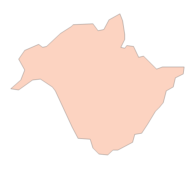
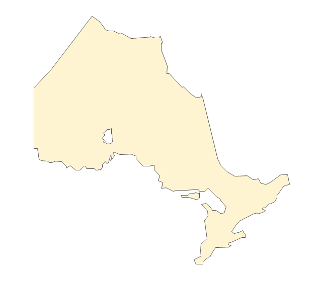
Ontario
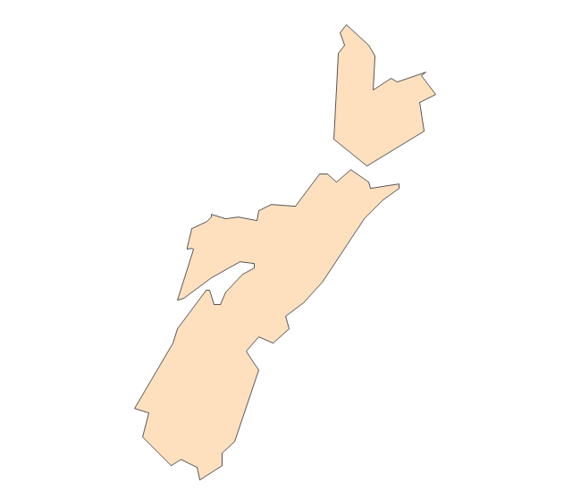
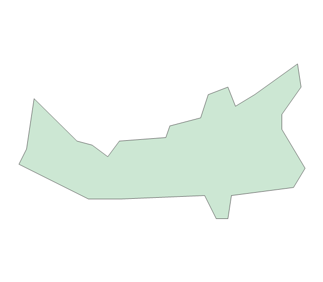
Prince Edward Island
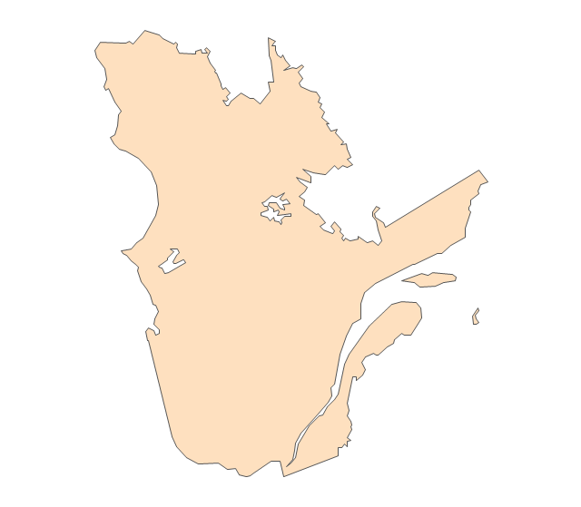
Quebec
Saskatchewan
Yukon
Ice Hockey Diagram — Defensive Strategy — Neutral Zone Trap

How To Create Restaurant Floor Plan in Minutes


- Geo Map - Canada - Ontario | Toronto Ontario Map Vector
- Canada Map Vector
- Geo Map - Canada - Ontario | Canada - Vector stencils library ...
- Geo Map - Canada - Ontario
- Geo Map - Canada - Ontario | Vector Map of Germany ...
- Canada - Vector stencils library
- Emergency Plan | Fire Exit Plan. Building Plan Examples | How To ...
- Offensive Play – Double Wing Wedge – Vector Graphic Diagram ...
- Baseball – Pitching and the Strike Zone | Ice Hockey Diagram ...
- SWOT Analysis Solution - Strategy Tools | Ice Hockey Diagram ...
- Ice Hockey | Ice Hockey Positions Diagram | Ice Hockey Offside ...
- Ice Hockey Diagram – Defensive Strategy – Neutral Zone Trap ...