The vector stencils library "Landmarks" contains 69 landmark symbols of buildings, waterways, scale and directional indicators for labeling transportation and directional maps, road and route maps, street and transit maps, locator and tourist maps.
The pictograms example "Landmarks - Vector stencils library" was created using the ConceptDraw PRO diagramming and vector drawing software extended with the Directional Maps solution from the Maps area of ConceptDraw Solution Park.
The pictograms example "Landmarks - Vector stencils library" was created using the ConceptDraw PRO diagramming and vector drawing software extended with the Directional Maps solution from the Maps area of ConceptDraw Solution Park.
Viewpoint

North arrow
North arrow
Building

Building

Town house

Suburban home

Skyscraper

Town hall

Public house

Petrol station

Gas station

Factory

School

Warehouse

Hospital

Fire station

Train station

Condos

Barn

Motel

Convenience store

Shopping centre

City

Church

Cathedral

National tail train station

Train railway

Bus stop

Tramlink

Marina / Ferry dock

Car ferry

Stop light

Airport

Airport

Underground / Subway / Metro

Taxi

Bicycle parking

Parking

Fuel / Gas / Petrol

Police

Hospital

Wheelchair access

First aid

Telephone

Post office

Landmarks and museums

University

Shopping

Refreshments / Public House

Restrooms / Toilets

Park

Zoo

Information center

Stadium 1

Stadium 2

Park

Tree

Fir-tree

Ocean

Lake

River

Angled river

Forked river

Curved river

Curved river

Flexible river

Bridge

Scale

The vector stencils library "Transport map" contains 96 pictograms for drawing transport maps.
Use it in your spatial infographics for visual representation of transport schemes and plans as metro maps in the ConceptDraw PRO diagramming and vector drawing software extended with the Spatial Infographics solution from the area "What is Infographics" of ConceptDraw Solution Park.
Use it in your spatial infographics for visual representation of transport schemes and plans as metro maps in the ConceptDraw PRO diagramming and vector drawing software extended with the Spatial Infographics solution from the area "What is Infographics" of ConceptDraw Solution Park.
Train Railway

Bus Stop

Tramlink

Marina/Ferry Dock

Information Center

Information Center

Airport

Airport

Underground/Subway/Metro

Underground/Subway/Metro

National Rail Train Station

Taxi

Taxi

Parking

Parking

Parking

Parking

Bicycle Parking

Bicycle Parking

Fuel/Gas/Petrol

Fuel/Gas/Petrol

Police

Police

Hospital

Hospital

Wheelchair Access

Wheelchair Access

First Aid

First Aid

Telephone

Telephone

Post Office

Post Office

Landmarks and Museums

Landmarks and Museums

University

University

Shopping/Supermarket

Shopping/Supermarket

Cafe

Cafe

Food and Drinks

Food and Drinks

Man

Woman

Restrooms/Toilets

Restrooms/Toilets

Park

Park

Zoo

Zoo

Hotel

Hotel

Camping

Camping

City

Skyscraper

Building

Ocean

Straight River

Flexible River

Bridge

North Arrow
Viewpoint

Scale

Road line

Road rounded line

Road corner

Road curve 1

Road curve 2

Crossroads

Roundabout

Cloverleaf interchange

Roadway break

Railway line

Railway curve

Railway fork

Standard line with standard station - basic road

Thick line with standard station - basic road

Standard line with rectangular station - basic road

Thick line with rectangular station - basic road

Standard line with standard station - double road

Thick line with standard station - double road

Standard line with rectangular station - double road

Thick line with rectangular station - double road

Standard line with standard station - dotted road

Thick line with standard station - dotted road

Standard line with rectangular station - dotted road

Thick line with rectangular station - dotted road

Interchange Station Vertical

Interchange Station Horizontal

Transfer Station 1

Transfer Station 2

Transfer Station 3

Line Notation

Street direction

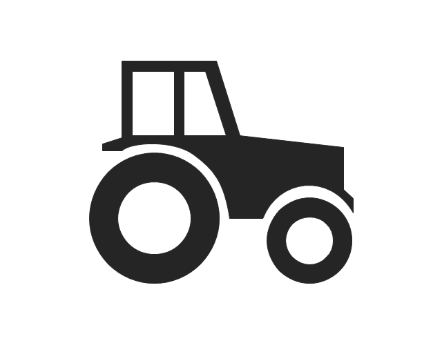
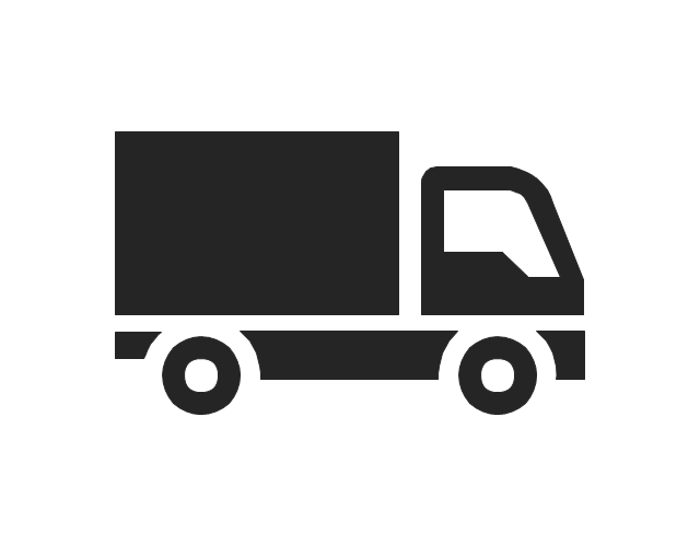
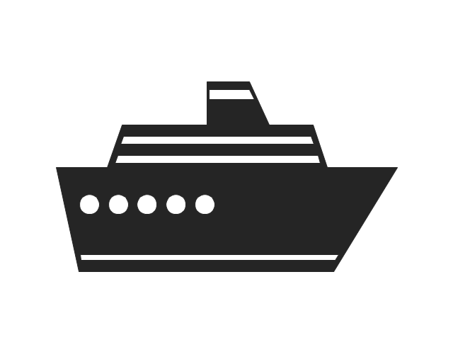
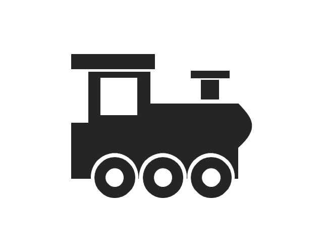
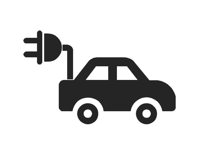
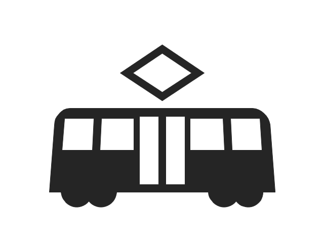
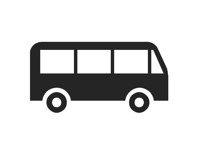
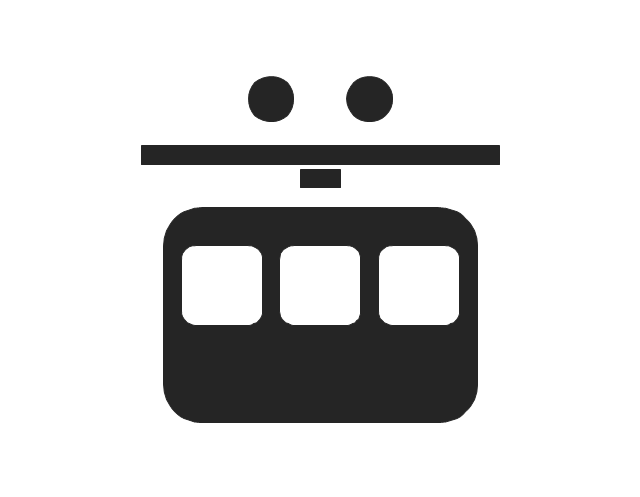
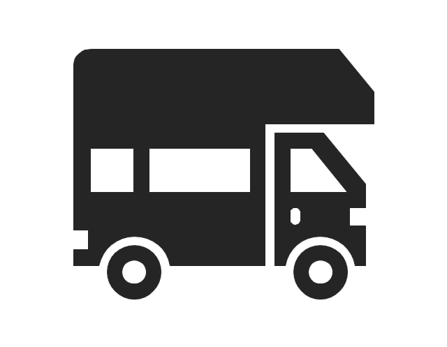
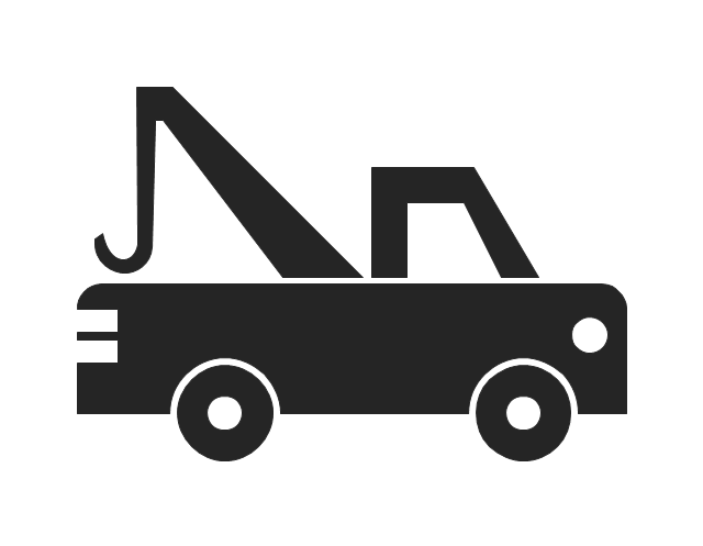
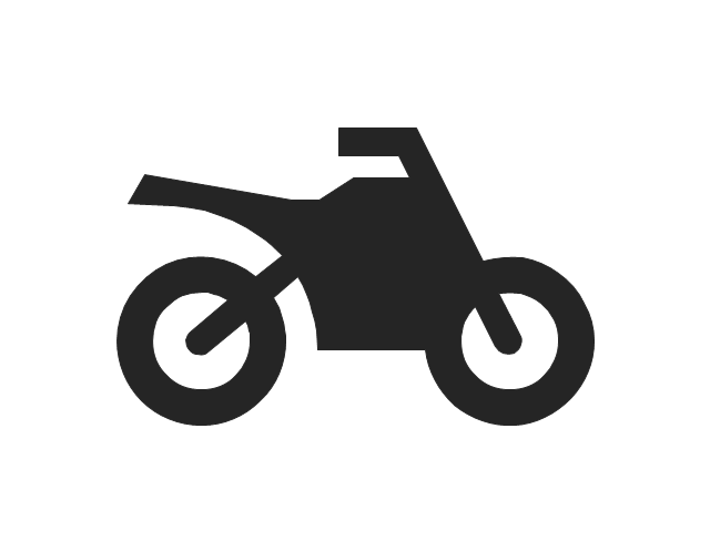
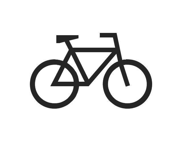
The vector stencils library "Transport pictograms" contains 23 vehicle pictograms.
Use it to draw transportation infograms.
The example "Transport pictograms - Vector stencils library" was created using the ConceptDraw PRO diagramming and vector drawing software extended with the Pictorial infographics solution from the area "What is infographics" in ConceptDraw Solution Park.
Use it to draw transportation infograms.
The example "Transport pictograms - Vector stencils library" was created using the ConceptDraw PRO diagramming and vector drawing software extended with the Pictorial infographics solution from the area "What is infographics" in ConceptDraw Solution Park.
Tractor
Forklift truck

Truck
Plane

Aircraft

Helicopter

Balloon

Rocket

Liner
Sailboat

Locomotive
Train
Subway
Car
Taxi
Electric car
Tram
Bus
Aerial tramway
Trailer
Tow truck
Motorcycle
Bicycle
Maps and Directions

The vector stencils library "Landmarks" contains 69 landmark symbols of buildings, waterways, scale and directional indicators for labeling transportation and directional maps, road and route maps, street and transit maps, locator and tourist maps.
The pictograms example "Landmarks - Vector stencils library" was created using the ConceptDraw PRO diagramming and vector drawing software extended with the Directional Maps solution from the Maps area of ConceptDraw Solution Park.
The pictograms example "Landmarks - Vector stencils library" was created using the ConceptDraw PRO diagramming and vector drawing software extended with the Directional Maps solution from the Maps area of ConceptDraw Solution Park.
Viewpoint
North arrow
North arrow
Building
Building
Town house
Suburban home
Skyscraper
Town hall
Public house
Petrol station
Gas station
Factory
School
Warehouse
Hospital
Fire station
Train station
Condos
Barn
Motel
Convenience store
Shopping centre
City
Church
Cathedral
National tail train station
Train railway
Bus stop
Tramlink
Marina / Ferry dock
Car ferry
Stop light
Airport
Airport
Underground / Subway / Metro
Taxi
Bicycle parking
Parking
Fuel / Gas / Petrol
Police
Hospital
Wheelchair access
First aid
Telephone
Post office
Landmarks and museums
University
Shopping
Refreshments / Public House
Restrooms / Toilets
Park
Zoo
Information center
Stadium 1
Stadium 2
Park
Tree
Fir-tree
Ocean
Lake
River
Angled river
Forked river
Curved river
Curved river
Flexible river
Bridge
Scale
The vector stencils library "Transport map" contains 96 pictograms for drawing transport maps.
Use it in your spatial infographics for visual representation of transport schemes and plans as metro maps in the ConceptDraw PRO diagramming and vector drawing software extended with the Spatial Infographics solution from the area "What is Infographics" of ConceptDraw Solution Park.
Use it in your spatial infographics for visual representation of transport schemes and plans as metro maps in the ConceptDraw PRO diagramming and vector drawing software extended with the Spatial Infographics solution from the area "What is Infographics" of ConceptDraw Solution Park.
Train Railway
Bus Stop
Tramlink
Marina/Ferry Dock
Information Center
Information Center
Airport
Airport
Underground/Subway/Metro
Underground/Subway/Metro
National Rail Train Station
Taxi
Taxi
Parking
Parking
Parking
Parking
Bicycle Parking
Bicycle Parking
Fuel/Gas/Petrol
Fuel/Gas/Petrol
Police
Police
Hospital
Hospital
Wheelchair Access
Wheelchair Access
First Aid
First Aid
Telephone
Telephone
Post Office
Post Office
Landmarks and Museums
Landmarks and Museums
University
University
Shopping/Supermarket
Shopping/Supermarket
Cafe
Cafe
Food and Drinks
Food and Drinks
Man
Woman
Restrooms/Toilets
Restrooms/Toilets
Park
Park
Zoo
Zoo
Hotel
Hotel
Camping
Camping
City
Skyscraper
Building
Ocean
Straight River
Flexible River
Bridge
North Arrow
Viewpoint
Scale
Road line
Road rounded line
Road corner
Road curve 1
Road curve 2
Crossroads
Roundabout
Cloverleaf interchange
Roadway break
Railway line
Railway curve
Railway fork
Standard line with standard station - basic road
Thick line with standard station - basic road
Standard line with rectangular station - basic road
Thick line with rectangular station - basic road
Standard line with standard station - double road
Thick line with standard station - double road
Standard line with rectangular station - double road
Thick line with rectangular station - double road
Standard line with standard station - dotted road
Thick line with standard station - dotted road
Standard line with rectangular station - dotted road
Thick line with rectangular station - dotted road
Interchange Station Vertical
Interchange Station Horizontal
Transfer Station 1
Transfer Station 2
Transfer Station 3
Line Notation
Street direction
 Site Plans
Vivid and enticing plan is the starting point in landscape design and site plan design, it reflects the main design idea and gives instantly a vision of the end result after implementation of this plan. Moreover site plan, architectural plan, detailed engineering documents and landscape sketches are obligatory when designing large projects of single and multi-floor buildings.
 Aerospace and Transport
This solution extends ConceptDraw PRO software with templates, samples and library of vector clipart for drawing the Aerospace and Transport Illustrations. It contains clipart of aerospace objects and transportation vehicles, office buildings and anci
 Directional Maps
Directional Maps solution extends ConceptDraw PRO software with templates, samples and libraries of vector stencils for drawing the directional, location, site, transit, road and route maps, plans and schemes.
- Road transport - Vector stencils library | How to draw Metro Map ...
- Landmarks - Vector stencils library | How to draw Metro Map style ...
- Train Station Symbol
- Transport pictograms - Vector stencils library | Metro Info Balloon Icon
- Cisco WAN. Cisco icons, shapes, stencils and symbols | How to ...
- Standard Colour For Metro Symbol In Map
- Aerospace and Transport | Metro Map | Local area network (LAN ...
- Basic Flowchart Symbols and Meaning | Transport map - Vector ...
- City Bus Png
- Landmarks - Vector stencils library | How to draw Metro Map style ...
- Bus From The Top
- Symbol Zoo On Map Png
- Infographic design elements, software tools Subway and Metro style ...
- Ferry Icon Png
- How to draw Metro Map style infographics? Moscow, New York, Los ...
- How to draw Metro Map style infographics? (London) | How to draw ...
- How to draw Metro Map style infographics? (Los Angeles) | Subway ...
- How to draw Metro Map style infographics? (Los Angeles) | How to ...
- How to draw Metro Map style infographics? (Los Angeles ...
- Public Toilet Symbol Png Blue