The vector stencils library "Financial map Canada" contains 14 map contours of Canada.
"Canada's geography is divided into administrative divisions known as provinces and territories that are responsible for delivery of sub-national governance. ...
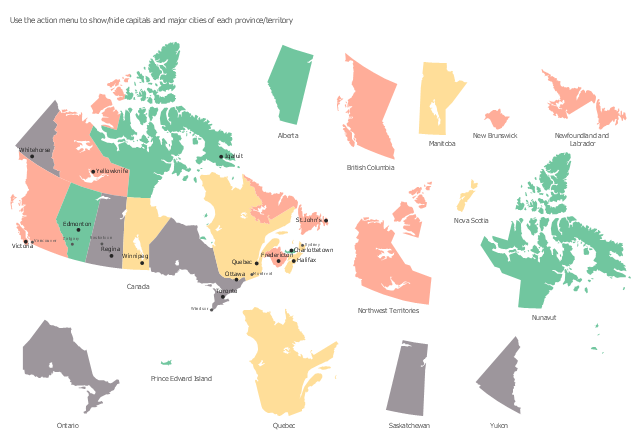
The ten provinces are Alberta, British Columbia, Manitoba, New Brunswick, Newfoundland and Labrador, Nova Scotia, Ontario, Prince Edward Island, Quebec, and Saskatchewan. Several of the provinces were former British colonies, and Quebec was originally a French colony, while others were added as Canada grew. The three territories are Northwest Territories, Nunavut, and Yukon, which govern the rest of the area of the former British North America." [Provinces and territories of Canada. Wikipedia]
Use it to design Canada thematic maps for your financial geospatial infographics.
"Canada's geography is divided into administrative divisions known as provinces and territories that are responsible for delivery of sub-national governance. ...
The ten provinces are Alberta, British Columbia, Manitoba, New Brunswick, Newfoundland and Labrador, Nova Scotia, Ontario, Prince Edward Island, Quebec, and Saskatchewan. Several of the provinces were former British colonies, and Quebec was originally a French colony, while others were added as Canada grew. The three territories are Northwest Territories, Nunavut, and Yukon, which govern the rest of the area of the former British North America." [Provinces and territories of Canada. Wikipedia]
Use it to design Canada thematic maps for your financial geospatial infographics.
Infographic elements
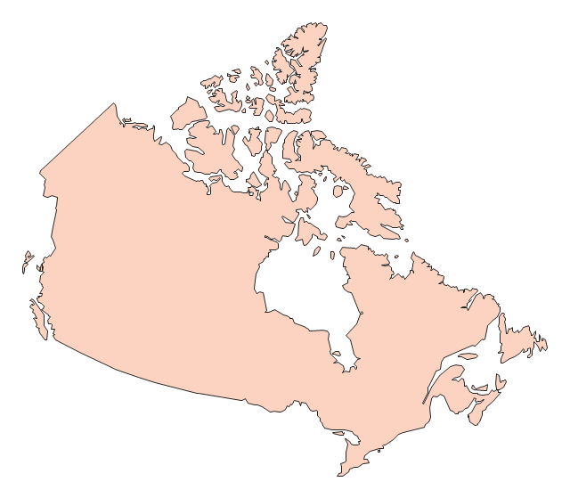
The vector stencils library "Canada" contains 15 map contours for drawing thematic maps of Canada. Use it for visual representation of geospatial information, statistics and quantitative data.
"The provinces and territories of Canada combine to make up the world's second-largest country by area. Originally three provinces of British North America, New Brunswick, Nova Scotia and the Province of Canada (which would become Ontario and Quebec) united to form the new nation. Since then, Canada's external borders have changed several times, and has grown from four initial provinces to ten provinces and three territories as of 1999. The ten provinces are Alberta, British Columbia, Manitoba, New Brunswick, Newfoundland and Labrador, Nova Scotia, Ontario, Prince Edward Island, Quebec, and Saskatchewan. The three territories are Northwest Territories, Nunavut, and Yukon." [Provinces and territories of Canada. Wikipedia]
The map contours example "Canada - Vector stencils library" was created using the ConceptDraw PRO diagramming and vector drawing software extended with the Continent Maps solution from the Maps area of ConceptDraw Solution Park.
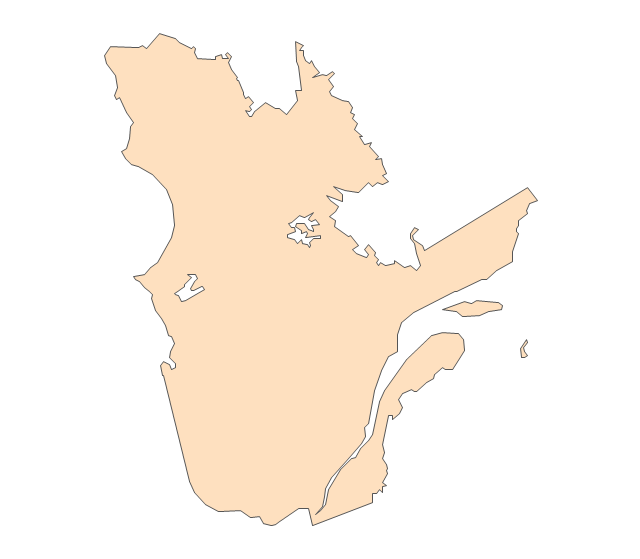
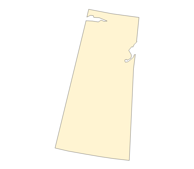
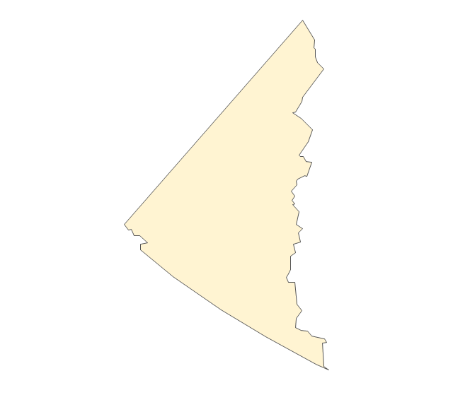
Canada
Canada (color)
-canada---vector-stencils-library.png--diagram-flowchart-example.png)
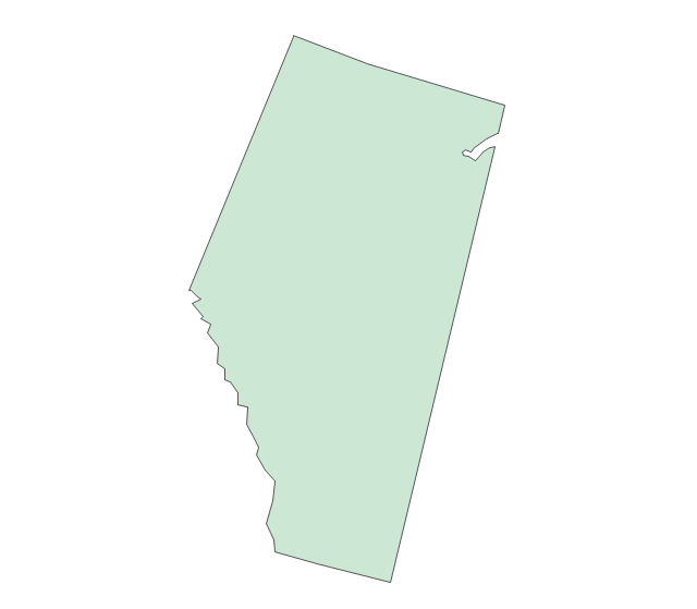
Alberta
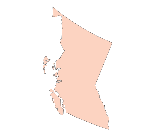
British Columbia
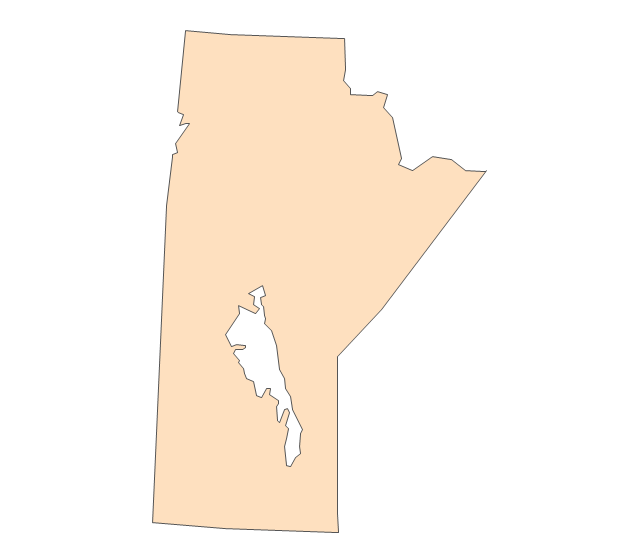
Manitoba
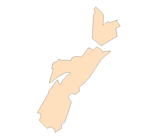
New Brunswick
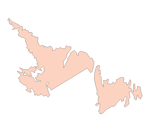
Newfoundland and Labrador
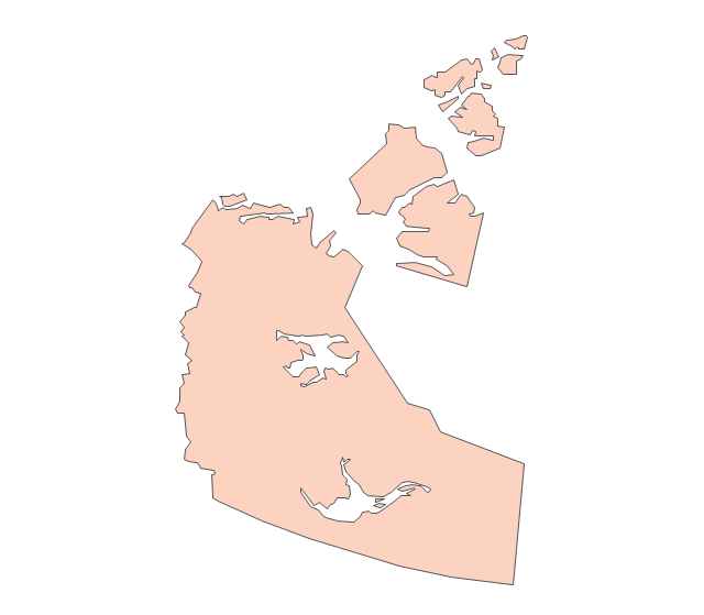
Northwest Territories
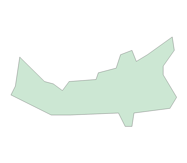
Nova Scotia
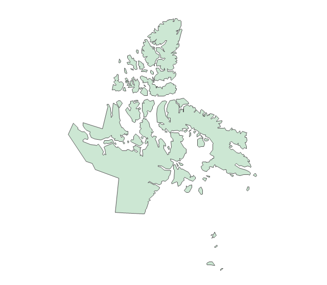
Nunavut
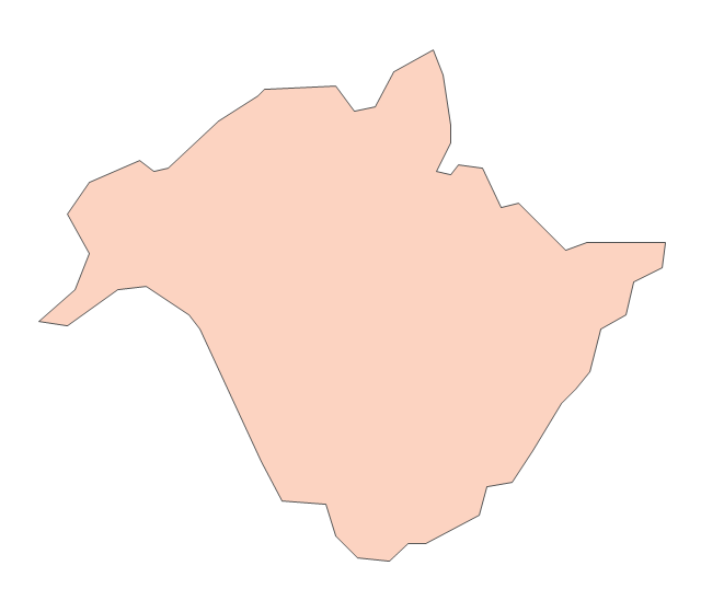
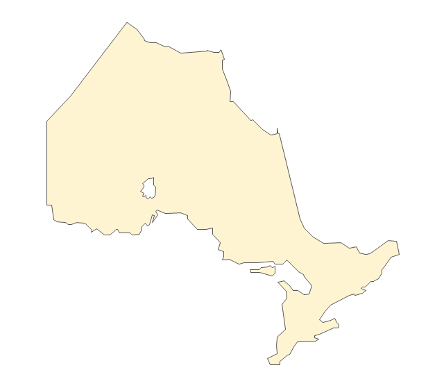
Ontario
Prince Edward Island
Quebec
Saskatchewan
Yukon
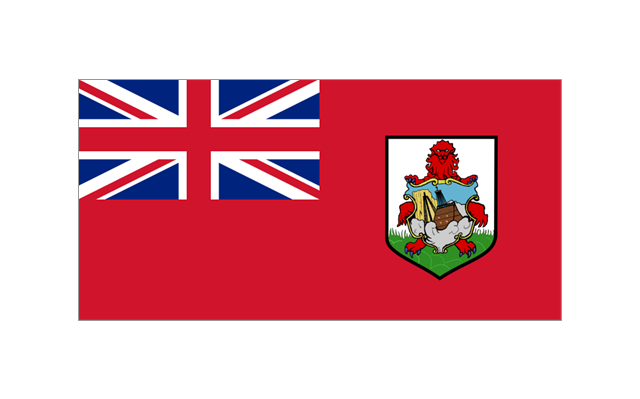
The stencils library "North and Central America flags" contains 35 clipart images of North and Central American countries state flags.
"Flags of North America.
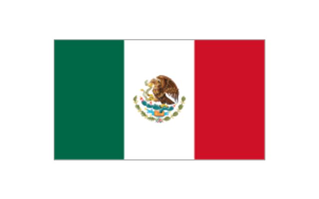
North America: Flag of Canada, Flag of Mexico, Flag of the United States.
Central America: Flag of Belize, Flag of Costa Rica, Flag of El Salvador, Flag of Guatemala, Flag of Honduras, Flag of Nicaragua, Flag of Panama.
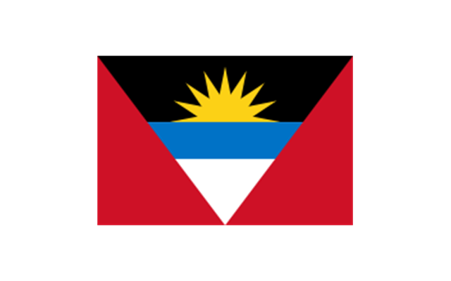
Caribbean: Flag of Anguilla (United Kingdom), Flag of Antigua and Barbuda, Flag of Aruba (Netherlands), Flag of the Bahamas, Flag of Barbados, Flag of Bonaire (Netherlands), Flag of the British Virgin Islands (United Kingdom), Flag of the Cayman Islands (United Kingdom), Flag of Cuba, Flag of Curacao (Netherlands), Flag of Dominica, Flag of the Dominican Republic, Flag of Grenada, Unofficial Flag of Guadeloupe (France), Flag of Haiti, Flag of Jamaica, Unofficial Flag of Martinique (France), Flag of Montserrat (United Kingdom), Unofficial Flag of Navassa Island (United States), Flag of Puerto Rico (United States), Flag of Saba (Netherlands), Unofficial Flag of Saint Barthelemy (France), Flag of Saint Kitts and Nevis, Flag of Saint Lucia, Unofficial Flag of Saint Martin (France), Flag of Saint Vincent and the Grenadines, Flag of Sint Eustatius (Netherlands), Flag of Sint Maarten (Netherlands), Flag of Trinidad and Tobago, Flag of the Turks and Caicos Islands (United Kingdom), Flag of the United States Virgin Islands (United States)." [Flags of North America. Wikipedia]
The clip art example "North and Central America flags - Stencils library" was created using the ConceptDraw PRO diagramming and vector drawing software extended with the Continent Maps solution from the Maps area of ConceptDraw Solution Park.
www.conceptdraw.com/ solution-park/ maps-continent
"Flags of North America.
North America: Flag of Canada, Flag of Mexico, Flag of the United States.
Central America: Flag of Belize, Flag of Costa Rica, Flag of El Salvador, Flag of Guatemala, Flag of Honduras, Flag of Nicaragua, Flag of Panama.
Caribbean: Flag of Anguilla (United Kingdom), Flag of Antigua and Barbuda, Flag of Aruba (Netherlands), Flag of the Bahamas, Flag of Barbados, Flag of Bonaire (Netherlands), Flag of the British Virgin Islands (United Kingdom), Flag of the Cayman Islands (United Kingdom), Flag of Cuba, Flag of Curacao (Netherlands), Flag of Dominica, Flag of the Dominican Republic, Flag of Grenada, Unofficial Flag of Guadeloupe (France), Flag of Haiti, Flag of Jamaica, Unofficial Flag of Martinique (France), Flag of Montserrat (United Kingdom), Unofficial Flag of Navassa Island (United States), Flag of Puerto Rico (United States), Flag of Saba (Netherlands), Unofficial Flag of Saint Barthelemy (France), Flag of Saint Kitts and Nevis, Flag of Saint Lucia, Unofficial Flag of Saint Martin (France), Flag of Saint Vincent and the Grenadines, Flag of Sint Eustatius (Netherlands), Flag of Sint Maarten (Netherlands), Flag of Trinidad and Tobago, Flag of the Turks and Caicos Islands (United Kingdom), Flag of the United States Virgin Islands (United States)." [Flags of North America. Wikipedia]
The clip art example "North and Central America flags - Stencils library" was created using the ConceptDraw PRO diagramming and vector drawing software extended with the Continent Maps solution from the Maps area of ConceptDraw Solution Park.
www.conceptdraw.com/ solution-park/ maps-continent
Bermuda
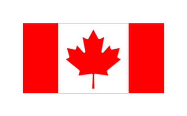
Canada
Greenland (Denmark)
-north-and-central-america-flags---stencils-library.png--diagram-flowchart-example.png)
Mexico
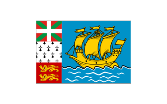
St. Pierre and Miquelon
United States

Anguilla (UK)
-north-and-central-america-flags---stencils-library.png--diagram-flowchart-example.png)
Antigua and Barbuda
Aruba (Netherlands)
-north-and-central-america-flags---stencils-library.png--diagram-flowchart-example.png)
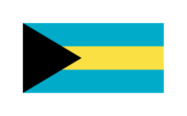
Bahamas
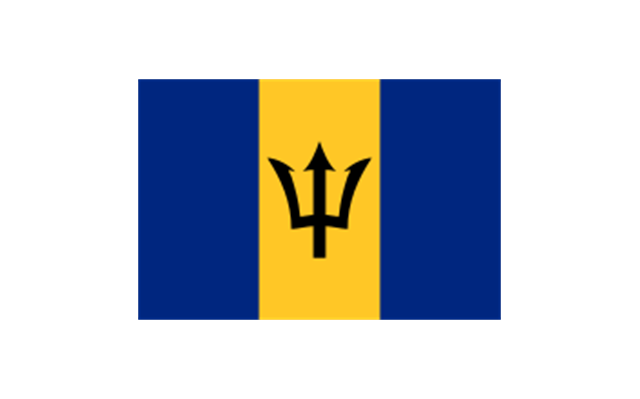
Barbados
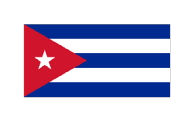
Cuba
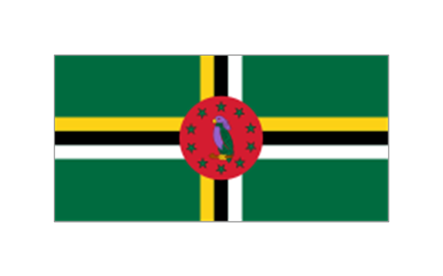
Dominica
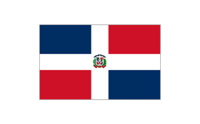
Dominican Republic
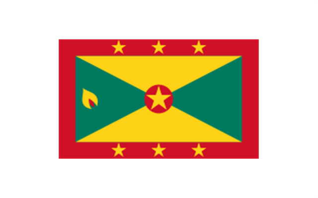
Grenada
Guadeloupe (France)
-north-and-central-america-flags---stencils-library.png--diagram-flowchart-example.png)
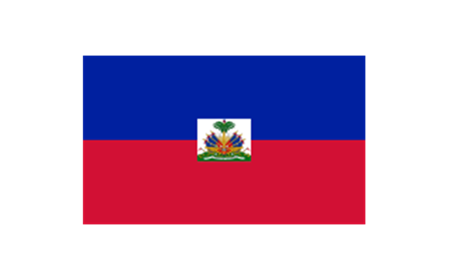
Haiti
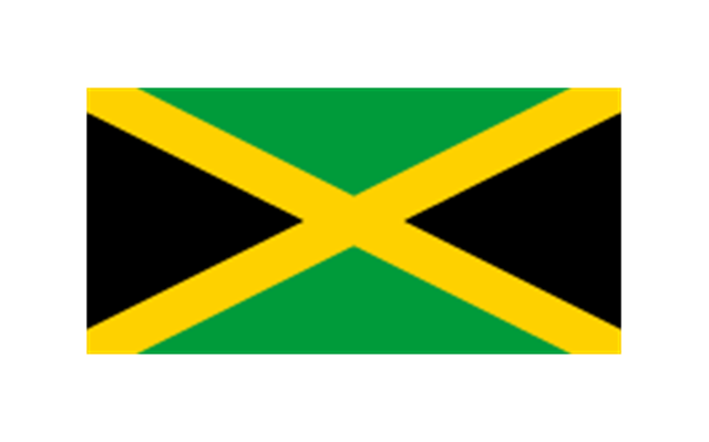
Jamaica
Martinique (France)
-north-and-central-america-flags---stencils-library.png--diagram-flowchart-example.png)
Navassa Island (US)
-north-and-central-america-flags---stencils-library.png--diagram-flowchart-example.png)
Puerto Rico (US)
-north-and-central-america-flags---stencils-library.png--diagram-flowchart-example.png)
Saint Barth??lemy (France)
-north-and-central-america-flags---stencils-library.png--diagram-flowchart-example.png)
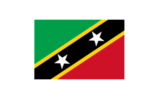
Saint Kitts and Nevis
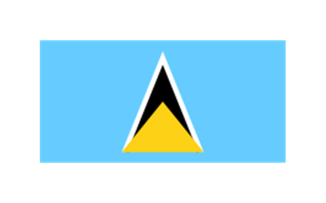
Saint Lucia
Saint Martin (France)
-north-and-central-america-flags---stencils-library.png--diagram-flowchart-example.png)
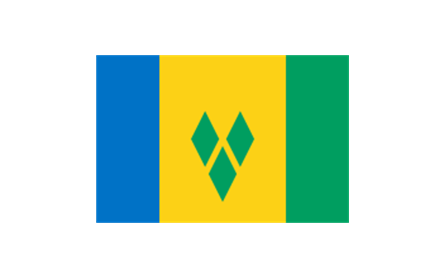
Saint Vincent and the Grenadines
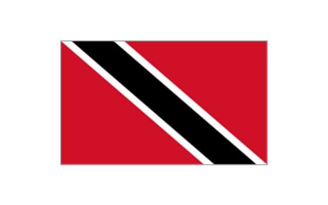
Trinidad and Tobago
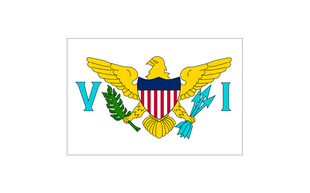
United States Virgin Islands
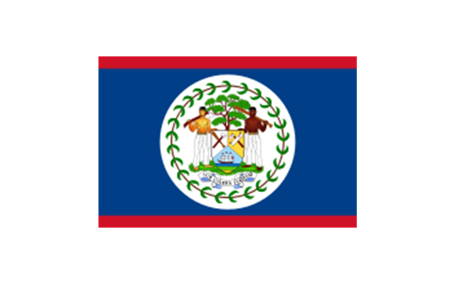
Belize
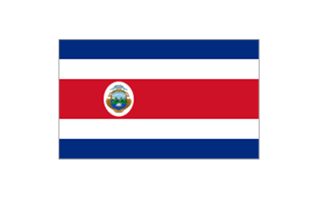
Costa Rica
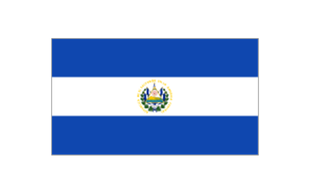
El Salvador
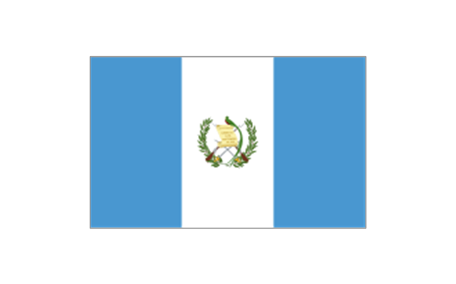
Guatemala
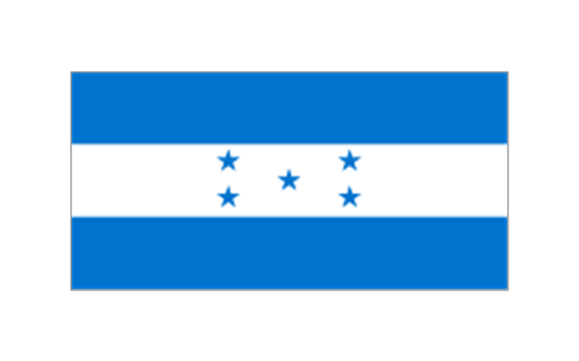
Honduras
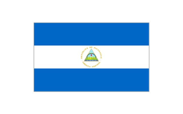
Nicaragua
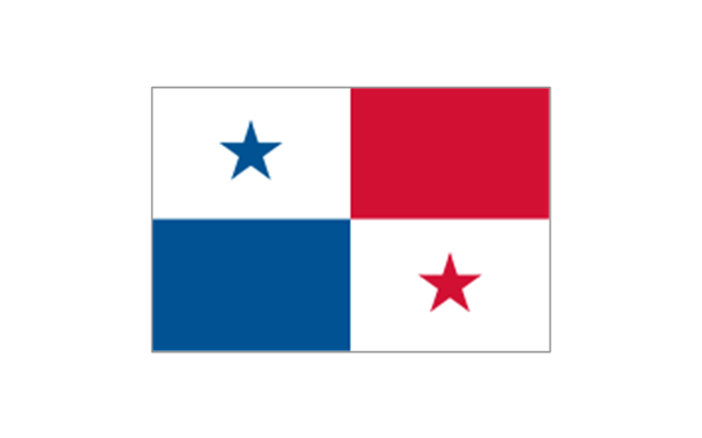
Panama
- French And English In Canada Map
- Dominican Republic And Border In Canada Map
- Map Of Canada
- Geo Map - Canada - Nova Scotia
- Map Provinces Canada
- Vector Map Of Canada's 10 Provinces And 3 Territories
- Geo Map - Canada - Nunavut
- Alberta Canada Map New Brunswick
- Geo Map - Europe - France | Geo Map - South America - French ...
- South America regions - Political map | Canada regions - Political ...