Geo Map — Asia

 Continent Maps
Continent Maps solution extends ConceptDraw DIAGRAM software with templates, samples and libraries of vector stencils for drawing the thematic maps of continents, state maps of USA and Australia.
Geo Map - Asia - Kyrgyzstan

Geo Map - Asia - Bhutan

Geo Map - Asia - India

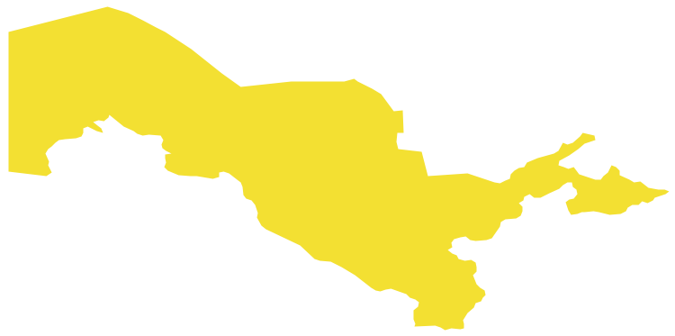
Geo Map - Asia - Uzbekistan
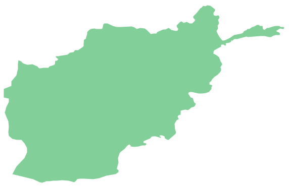
Geo Map - Asia - Afghanistan
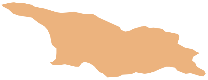
Geo Map - Asia - Georgia
"Central Asia is the core region of the Asian continent and stretches from the Caspian Sea in the west to China in the east and from Afghanistan in the south to Russia in the north. It is also sometimes referred to as Middle Asia, and, colloquially, "the 'stans" (as the five countries generally considered to be within the region all have names ending with the Persian suffix "-stan", meaning "land of") and is within the scope of the wider Eurasian continent.
In modern contexts, all definitions of Central Asia include these five republics of the former Soviet Union: Kazakhstan ..., Kyrgyzstan ..., Tajikistan ..., Turkmenistan ..., and Uzbekistan ... Other areas sometimes included are Afghanistan, Mongolia, eastern Iran, and northwestern Pakistan, and sometimes Xinjiang and Tibet in western China, the Kashmir region of northern India and northern Pakistan, and southern Siberia in southern Russia." [Central Asia. Wikipedia]
This Central Asia political map was redesigned from Wikimedia Commons file: Central Asia - political map - 2000.svg.
[commons.wikimedia.org/ wiki/ File:Central_ Asia_ -_ political_ map_ -_ 2000.svg]
This file is licensed under the Creative Commons Attribution-Share Alike 3.0 Unported license. [creativecommons.org/ licenses/ by-sa/ 3.0/ deed.en]
The political map example "Central Asia" was drawn using the ConceptDraw PRO diagramming and vector drawing software extended with the design elements library Asia.
The political map example "Central Asia" is included in the Continent Maps solution from the Maps area of ConceptDraw Solution Park.
Political map - Central Asia

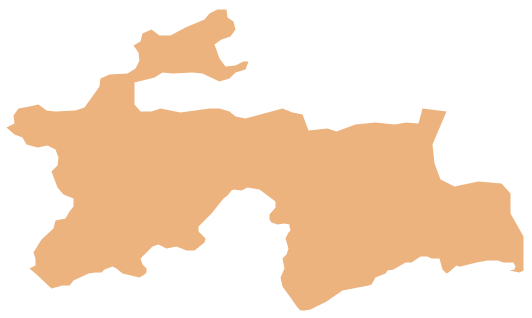
Geo Map - Asia - Tajikistan
- Asian Countries Maps
- Asian Continent Countries
- Names Of Asian Countries
- Geo Map - Asia | Central Asia - Political map | Continent Maps ...
- Continent Maps | Geo Map - Asia | Central Asia - Political map ...
- Geo Map - Asia - India | Asia map with capitals - Template ...
- Political map of Asia | Continent Maps | Spatial infographics Design ...
- Central Asia - Political map | Geo Map — Asia | South Asia - Political ...
- Asian Continents Countries
- Name The Asian Countries