Map of Scotland
“Scotland is a country that is part of the United Kingdom and covers the northern third of the island of Great Britain. It shares a border with England to the south, and is otherwise surrounded by the Atlantic Ocean, with the North Sea to the east and the North Channel and Irish Sea to the south-west. In addition to the mainland, the country is made up of more than 790 islands, including the Northern Isles and the Hebrides.
Edinburgh, the country's capital and second-largest city, was the hub of the Scottish Enlightenment of the 18th century, which transformed Scotland into one of the commercial, intellectual, and industrial powerhouses of Europe. Glasgow, Scotland's largest city, was once one of the world's leading industrial cities and now lies at the centre of the Greater Glasgow conurbation. Scottish waters consist of a large sector of the North Atlantic and the North Sea, containing the largest oil reserves in the European Union. This has given Aberdeen, the third-largest city in Scotland, the title of Europe's oil capital.”
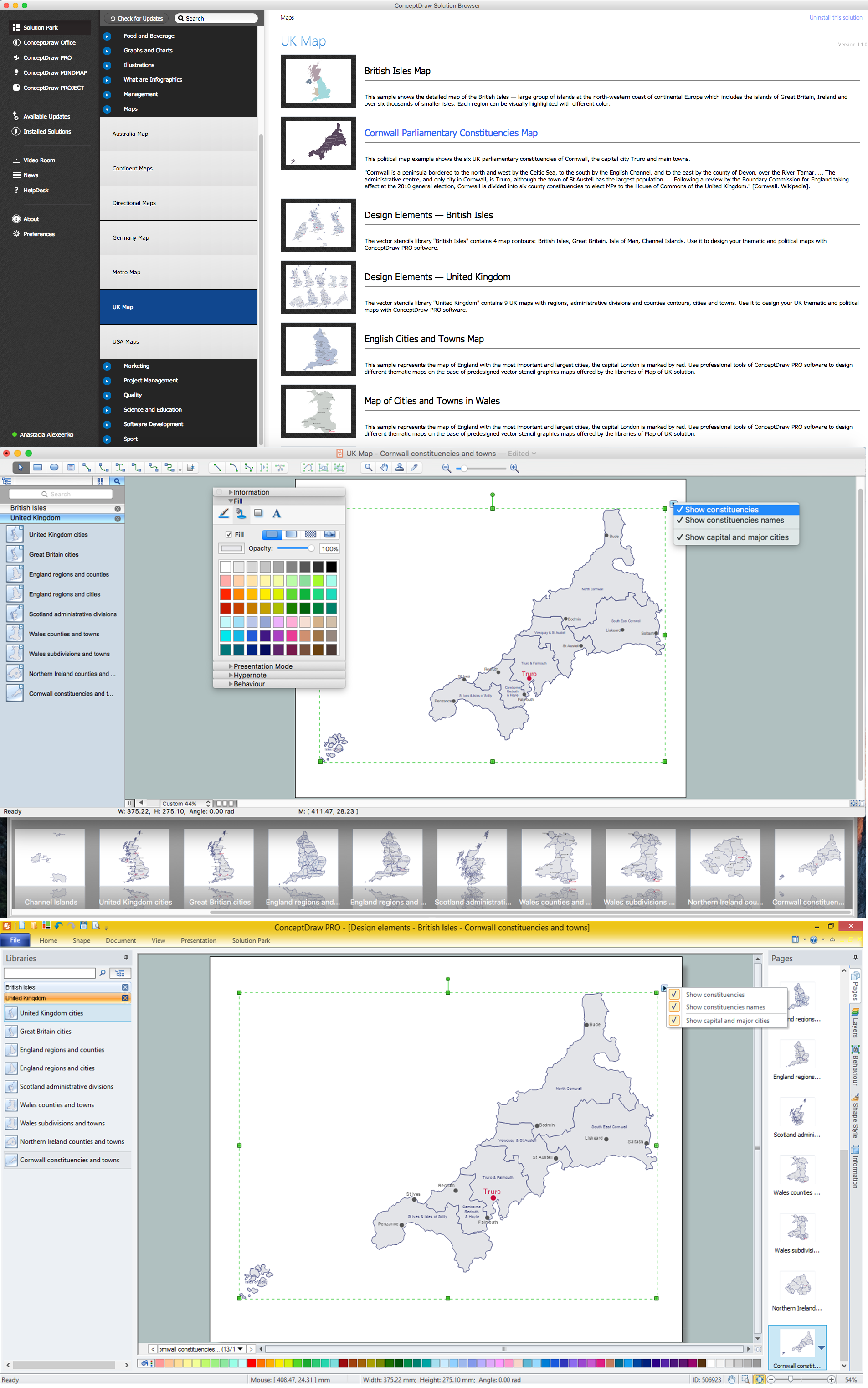
ConceptDraw DIAGRAM diagramming and vector drawing software extended with powerful Map of UK Solution from the Maps Area of ConceptDraw Solution Park is the best for drawing various kinds of:
- United Kingdom maps,
- map of Scotland,
- map of England,
- map of Wales,
- Northern Ireland map,
- thematic UK maps
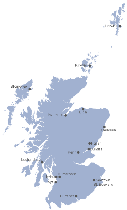
Example 1. Map of Scotland
Use of ready objects is a fastest way of drawing professional-looking, vivid and attractive UK Maps, maps of islands and countries included in UK, and various kinds of thematic maps on their base - geographic, topography, political, and many other maps. Map of UK Solution offers at your disposal two libraries with predesigned vector objects:
- British Isles
- United Kingdom

Example 2. United Kingdom Library Design Elements
To design the map of Scotland in ConceptDraw DIAGRAM easy drag the Scotland map object from the United Kingdom library. It is ready professional-looking map, but the ConceptDraw DIAGRAM lets you additionally make the color style changes according to your taste and use the action menu of this object to show/hide the administrative divisions borders and names.

Example 3. Map of the British Isles Counties
The samples you see on this page were created in ConceptDraw DIAGRAM software using the tools of the Map of UK solution. They show the whole map of British Isles and the Map of Scotland separately. An experienced user spent 10 minutes creating each of these maps.
Use the Map of UK solution for ConceptDraw DIAGRAM software to design your own Map of Scotland and thematic maps on its base fast, easy and effective.
All source documents are vector graphic documents. They are available for reviewing, modifying, or converting to a variety of formats (PDF file, MS PowerPoint, MS Visio, and many other graphic formats) from the ConceptDraw STORE. The Map of UK Solution is available for all ConceptDraw DIAGRAM users.