Metro Map
This is the Samples section of the Maps area at ConceptDraw Solution Park.
The Maps area at ConceptDraw Solution Park integrates solutions for designing different types of maps:
Thematic maps visualize geospatial data from specific subject areas.
Locator maps depict location of particular buildings, sites, commercial or natural objects, or places of interest on the map of urban or rural area.
Directional maps show how to get to the particular object through the streets, roads, and by public transport.
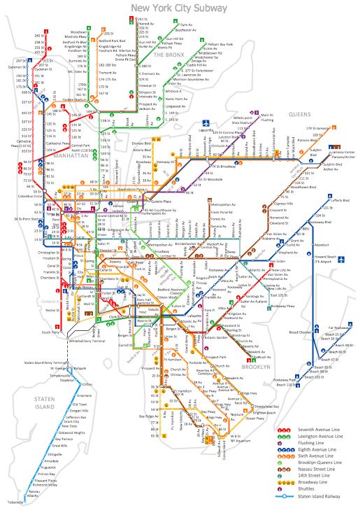
Transit maps represent schemes of public transport like bus routes and stops, subway lines and stations.
This web page navigates you to the samples of all these map types from the Maps area solutions.


