Aerospace - Design Elements

The vector stencils library "Aerospace" contains 38 clip art images for creating aerospace illustrations, presentation slides, infographics and webpages using the ConceptDraw PRO diagramming and vector drawing software.
"Aerospace describes the human effort in science, engineering and business to fly in the atmosphere of Earth (aeronautics) and surrounding space (astronautics). Aerospace organisations research, design, manufacture, operate, or maintain aircraft and/ or spacecraft. Aerospace activity is very diverse, with a multitude of commercial, industrial and military applications.
Aerospace is not the same as airspace, which is the physical air space directly above a location on the ground." [Aerospace. Wikipedia]
The vector stencils library "Aerospace" is included in the Aerospace and Transport solution from the Illustrations area of ConceptDraw Solution Park.
www.conceptdraw.com/ solution-park/ illustrations-aerospace-transport
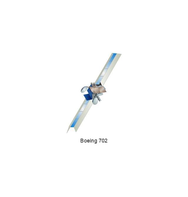
Boeing 702
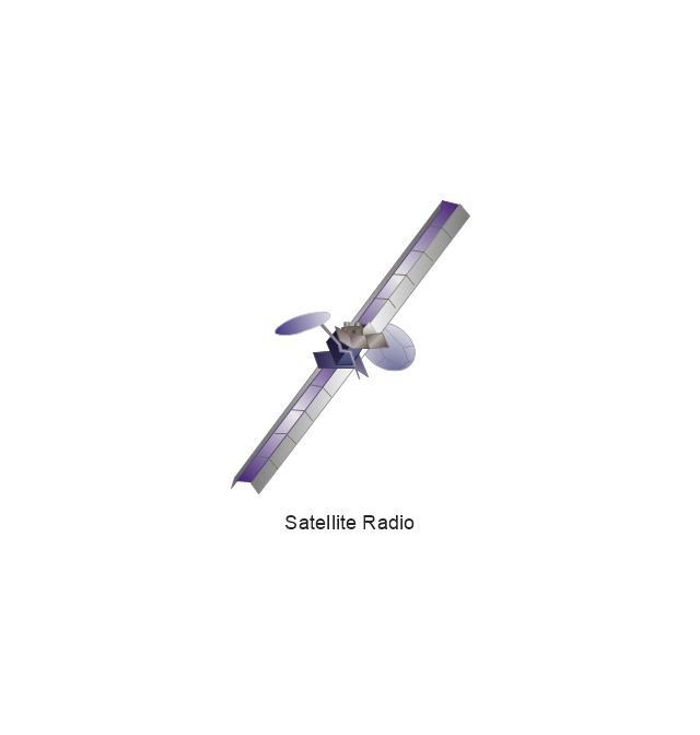
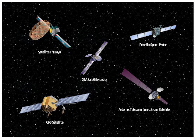
Satellite Radio
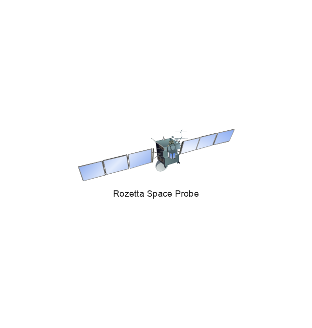
Rosetta Space Probe
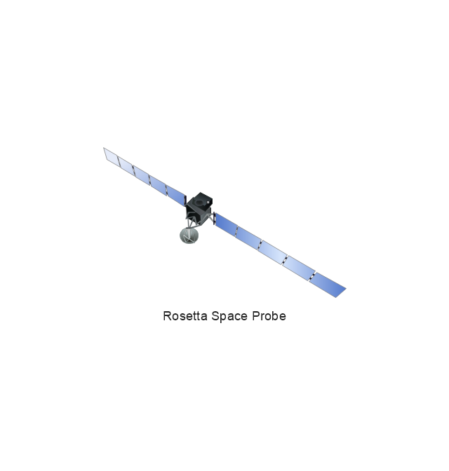
Rosetta Space Probe
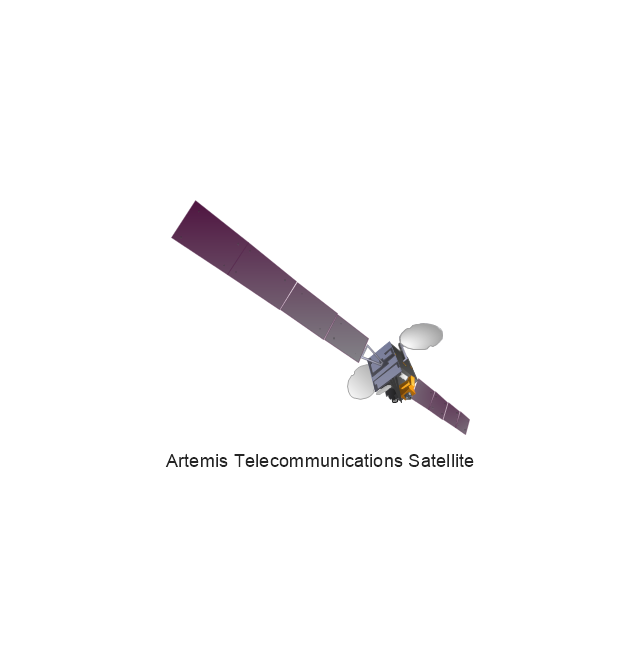
Artemis Telecommunications Satellite
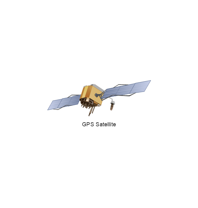
GPS Satellite
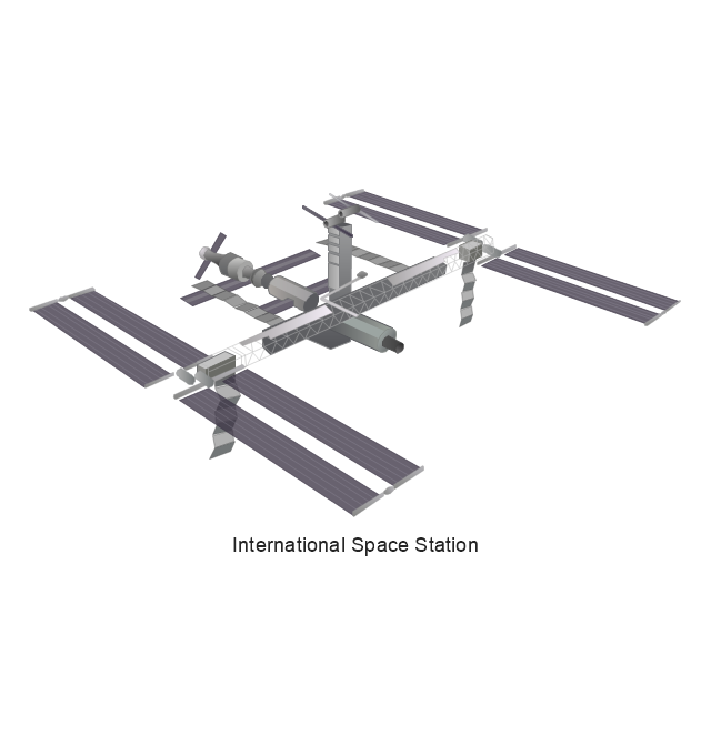
International Space Station
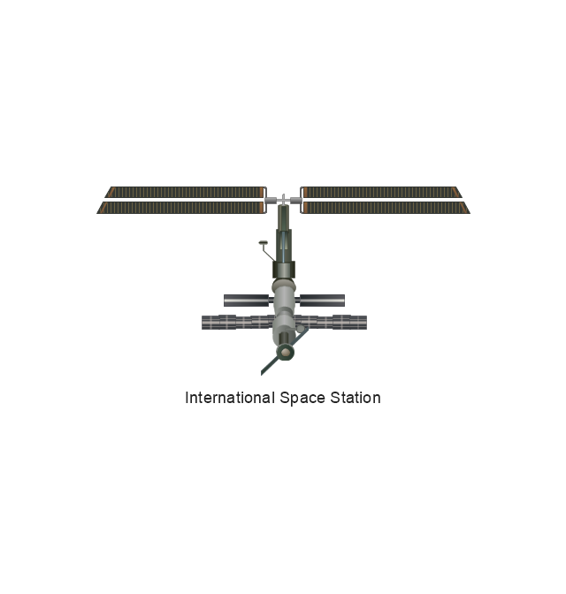
International Space Station
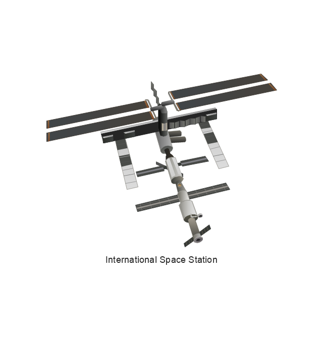
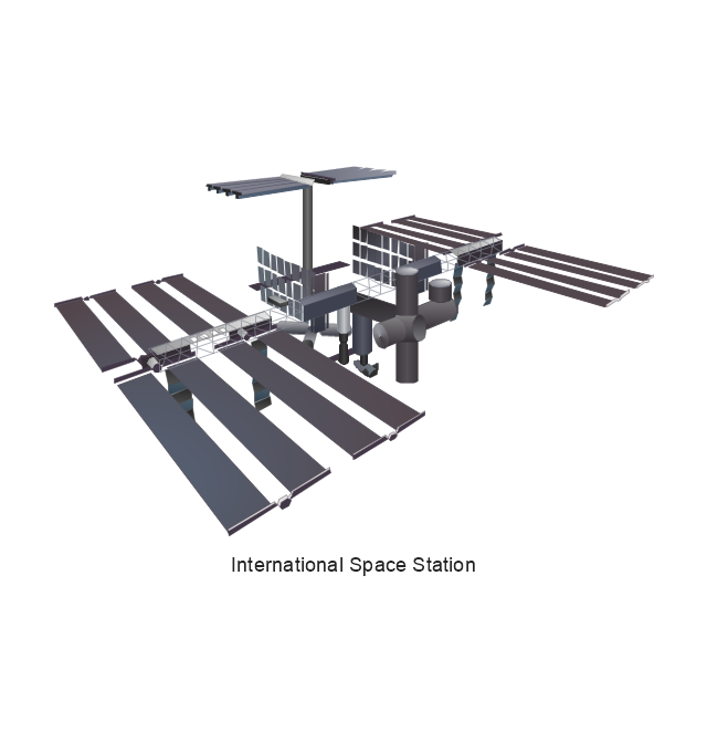
International Space Station
International Space Station
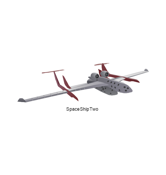
SpaceShipTwo
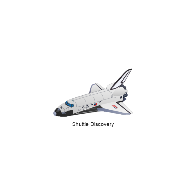
Shuttle Discovery
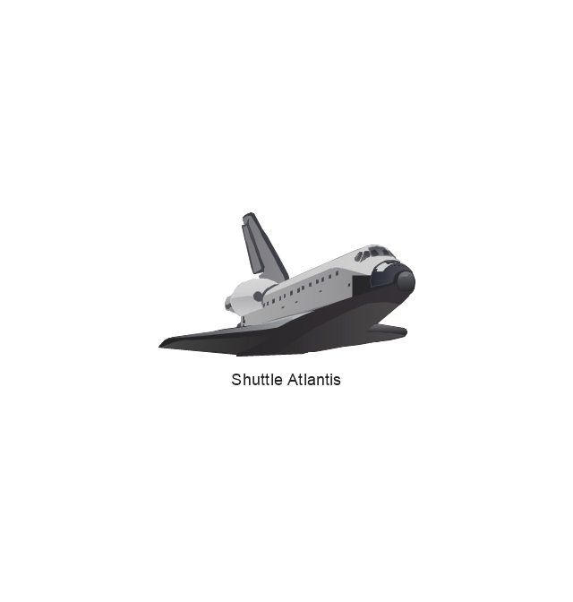
Shuttle Atlantis
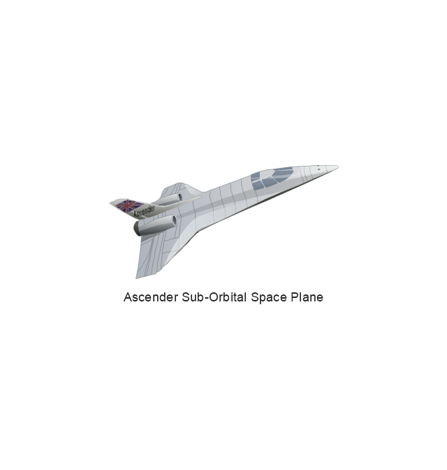
Ascender Sub-Orbital Space Plane
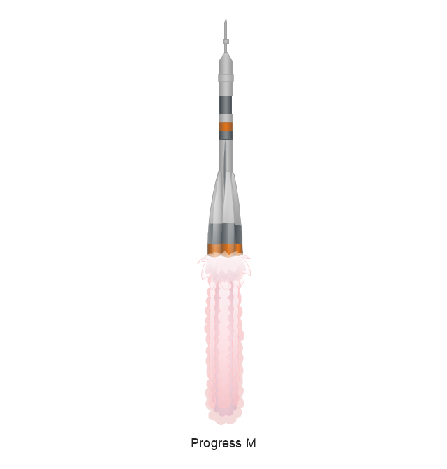
Progress M
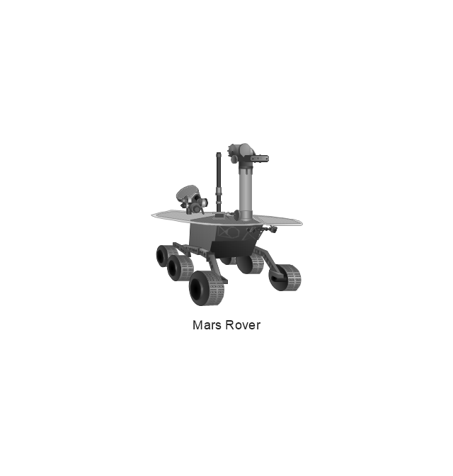
Mars Rover
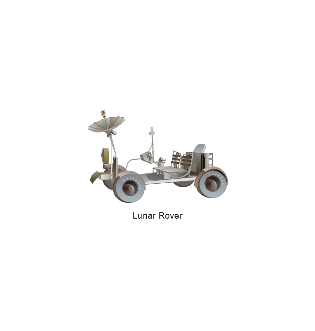
Lunar Rover
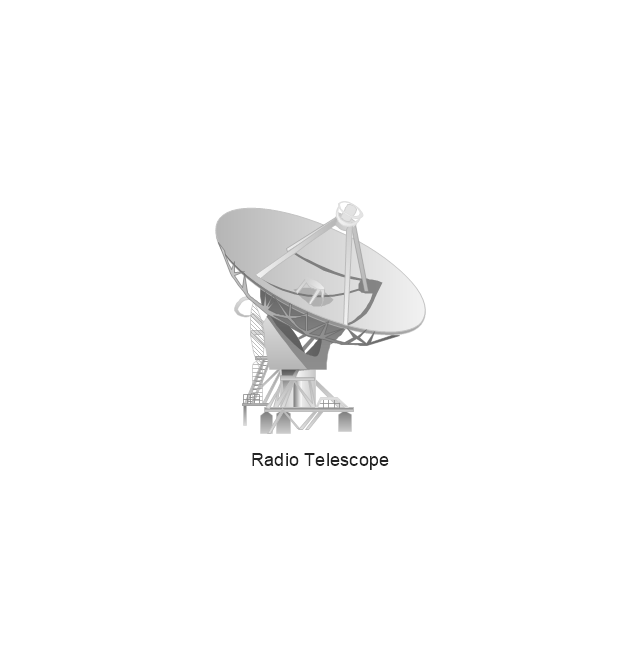
Radio Telescope
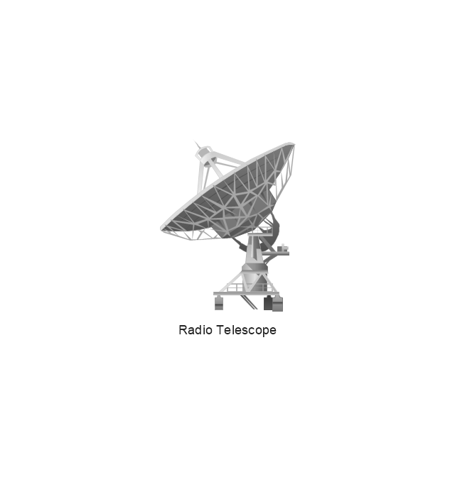
Radio Telescope
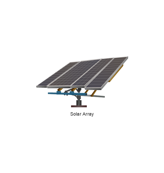
Solar Array
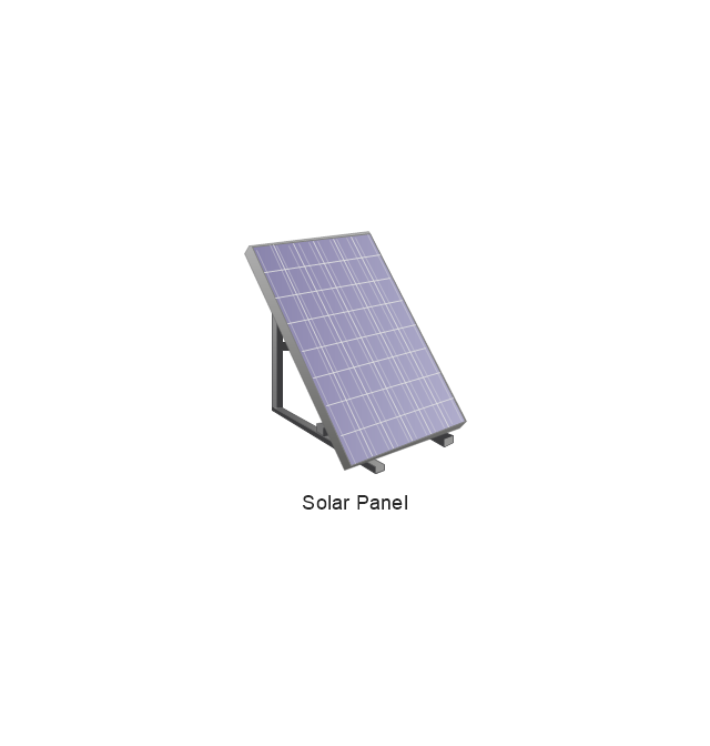
Solar Panel
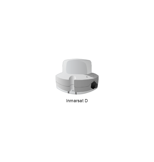
Inmarsat D
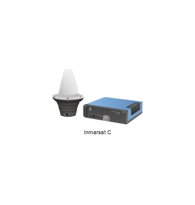
Inmarsat C
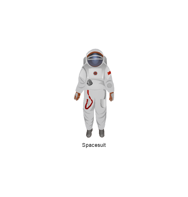
Spacesuit
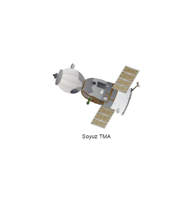
Soyuz TMA
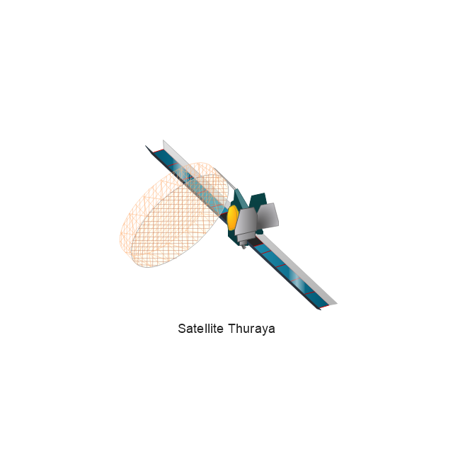
Satellite Thuraya
Tracking Headquarters
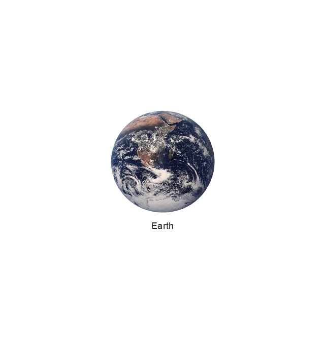
Earth
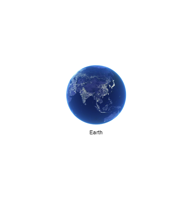
Earth
Earth
Earth
Moon
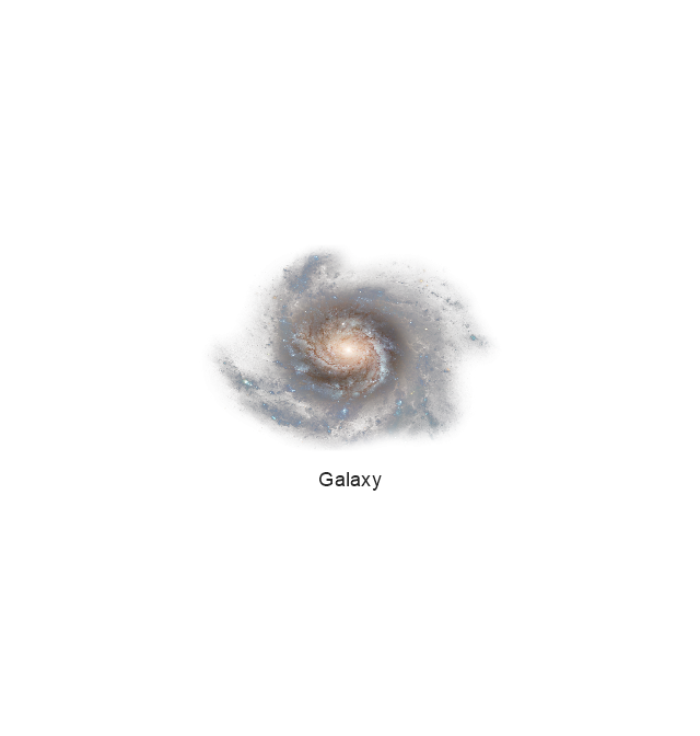
Galaxy
Galaxy
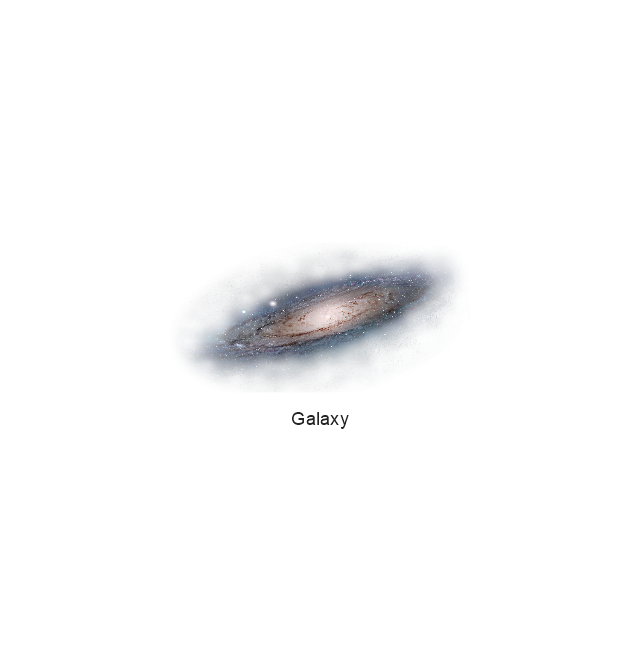
Galaxy
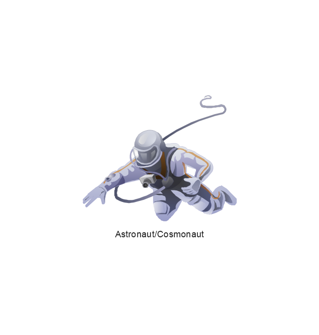
Astronaut/Cosmonaut
Tracking Headquarters
Night Sky

Use vector clipart library Aerospace to illustrate your documents, infographics, presentations and websites with images of satellites, space vehicles and objects using ConceptDraw PRO diagramming and vector drawing software.
"In the context of spaceflight, a satellite is an artificial object which has been intentionally placed into orbit.
Some satellites, notably space stations, have been launched in parts and assembled in orbit. A few hundred satellites are currently operational, whereas thousands of unused satellites and satellite fragments orbit the Earth as space debris. A few space probes have been placed into orbit around other bodies and become artificial satellites to the Moon, Mercury, Venus, Mars, Jupiter, Saturn, Vesta, Eros, and the Sun.
Common types include military and civilian Earth observation satellites, communications satellites, navigation satellites, weather satellites, and research satellites. Space stations and human spacecraft in orbit are also satellites. Satellite orbits ... include low Earth orbit, polar orbit, and geostationary orbit.
Satellites are propelled by rockets to their orbits.
Satellites are usually semi-independent computer-controlled systems. Satellite subsystems attend many tasks, such as power generation, thermal control, telemetry, attitude control and orbit control." [Satellite. Wikipedia]
The vector stencils library Aerospace is included in the Aerospace and Transport solution from Illustration area of ConceptDraw Solution Park.
Vector illustration
This work flow chart sample was redesigned from the picture "Weather Forecast" from the article "Simulation Workflows".
[iaas.uni-stuttgart.de/ forschung/ projects/ simtech/ sim-workflows.php]
"(1) The weather is predicted for a particular geological area. Hence, the workflow is fed with a model of the geophysical environment of ground, air and water for a requested area.
(2) Over a specified period of time (e.g. 6 hours) several different variables are measured and observed. Ground stations, ships, airplanes, weather balloons, satellites and buoys measure the air pressure, air/ water temperature, wind velocity, air humidity, vertical temperature profiles, cloud velocity, rain fall, and more.
(3) This data needs to be collected from the different sources and stored for later access.
(4) The collected data is analyzed and transformed into a common format (e.g. Fahrenheit to Celsius scale). The normalized values are used to create the current state of the atmosphere.
(5) Then, a numerical weather forecast is made based on mathematical-physical models (e.g. GFS - Global Forecast System, UKMO - United Kingdom MOdel, GME - global model of Deutscher Wetterdienst). The environmental area needs to be discretized beforehand using grid cells. The physical parameters measured in Step 2 are exposed in 3D space as timely function. This leads to a system of partial differential equations reflecting the physical relations that is solved numerically.
(6) The results of the numerical models are complemented with a statistical interpretation (e.g. with MOS - Model-Output-Statistics). That means the forecast result of the numerical models is compared to statistical weather data. Known forecast failures are corrected.
(7) The numerical post-processing is done with DMO (Direct Model Output): the numerical results are interpolated for specific geological locations.
(8) Additionally, a statistical post-processing step removes failures of measuring devices (e.g. using KALMAN filters).
(9) The statistical interpretation and the numerical results are then observed and interpreted by meteorologists based on their subjective experiences.
(10) Finally, the weather forecast is visualized and presented to interested people." [iaas.uni-stuttgart.de/ forschung/ projects/ simtech/ sim-workflows.php]
The example "Workflow diagram - Weather forecast" was drawn using the ConceptDraw PRO diagramming and vector drawing software extended with the Workflow Diagrams solution from the Business Processes area of ConceptDraw Solution Park.
Work flow chart

- Earth Vector Png
- Wind speed histogram | Resources and energy - Vector stencils ...
- Geography - Vector stencils library | Water cycle diagram | Building ...
- Diagram Of Airplane Png Format
- Resources and energy - Vector stencils library | Energy resources ...
- Weather - Vector stencils library
- Water Flow Vector Png
- Buildings and green spaces - Vector stencils library | Design ...
- Resources and energy - Vector stencils library | Resources and ...
- Design elements - Weather | Nature Clipart and Illustrations ...
- Vector Mountain Png
- Workflow diagram - Weather forecast | Weather - Vector stencils ...
- Mountain Vector Png
- How can you illustrate the weather condition | Nature | Illustration ...
- Weather - Vector stencils library | Packaging, loading, customs ...
- Nature | Nature Drawings - How to Draw | Drawing Illustration ...
- Design elements - Advertising, post and mail | Mail and post - Vector ...
- Geo Map - Europe - Iceland | Geography - Vector stencils library ...
- Watercraft - Design Elements | Aerospace and Transport | Watercraft ...
- Door Png
- ERD | Entity Relationship Diagrams, ERD Software for Mac and Win
- Flowchart | Basic Flowchart Symbols and Meaning
- Flowchart | Flowchart Design - Symbols, Shapes, Stencils and Icons
- Flowchart | Flow Chart Symbols
- Electrical | Electrical Drawing - Wiring and Circuits Schematics
- Flowchart | Common Flowchart Symbols
- Flowchart | Common Flowchart Symbols