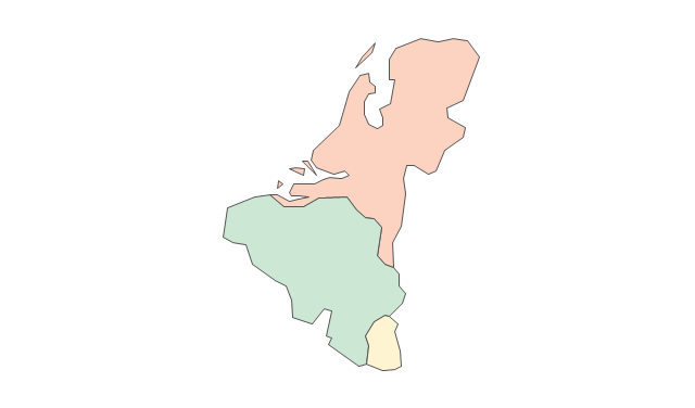
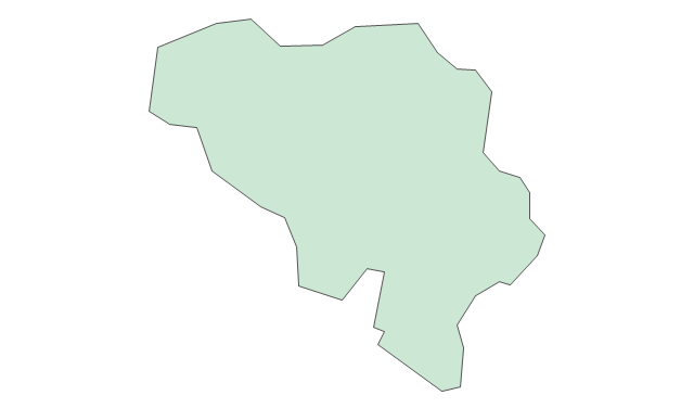
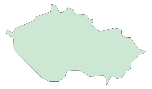
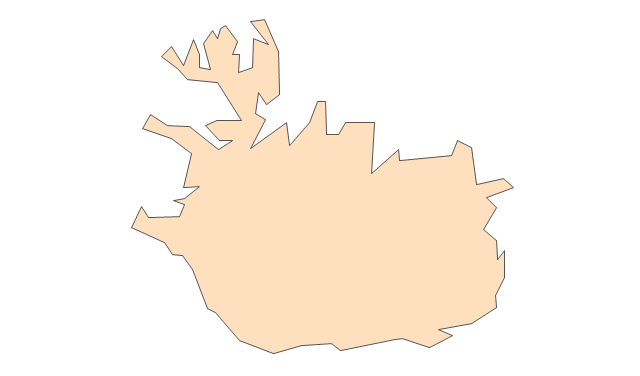
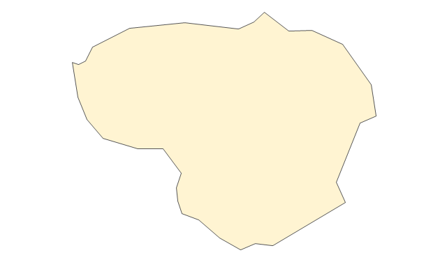
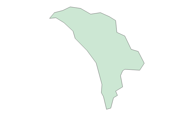
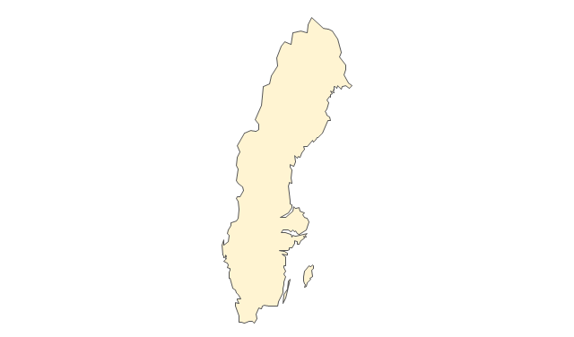
Geo Map - Europe - Greece

The vector stencils library Greece contains contours for ConceptDraw PRO diagramming and vector drawing software. This library is contained in the Continent Maps solution from Maps area of ConceptDraw Solution Park.
"Alphabetical list of subregions in the United Nations geoscheme for Europe.
Eastern Europe: Belarus, Bulgaria, Czech Republic, Hungary, Moldova, Poland, Romania, Russia, Slovakia, Ukraine.
Northern Europe: Åland Islands, Denmark, Estonia, Faroe Islands, Finland, Guernsey, Iceland, Ireland, Isle of Man, Jersey, Latvia, Lithuania, Norway, Svalbard and Jan Mayen, Sweden, United Kingdom.
Southern Europe: Albania, Andorra, Bosnia and Herzegovina, Croatia, Gibraltar, Greece, Italy, Malta, Montenegro, Portugal, Macedonia, San Marino, Serbia, Slovenia, Spain, Vatican City.
Western Europe: Austria, Belgium, France, Germany, Liechtenstein, Luxembourg, Monaco, Netherlands, Switzerland." [United Nations geoscheme for Europe. Wikipedia]
The example "Political map of Europe" illustrated with European state flags was created using the ConceptDraw PRO diagramming and vector drawing software extended with the Continent Maps solution from the Maps area of ConceptDraw Solution Park.
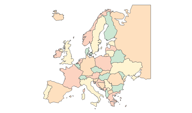
Political map - Europe

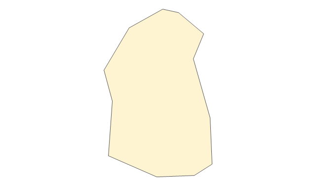
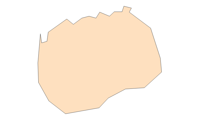
The vector stencils library "Europe" contains 45 state map contours for drawing thematic maps of Europe. Use it in your spatial infographics for visual representation of geospatial information, statistics and quantitative data.
"There are 50 internationally recognised sovereign states with territory located within the common definition of Europe and/ or membership in international European organisations, of which 44 have their capital city within Europe. All except the Vatican City are members of the United Nations (UN), and all except Belarus, Kazakhstan and Vatican City are members of the Council of Europe. Since 2013, 28 of these countries are also member states of the EU, which means they are highly integrated with each other and share their sovereignty with EU institutions." [List of sovereign states and dependent territories in Europe. Wikipedia]
The state map contours example "Europe - Vector stencils library" was created using the ConceptDraw PRO diagramming and vector drawing software extended with the Continent Maps solution from the Maps area of ConceptDraw Solution Park.
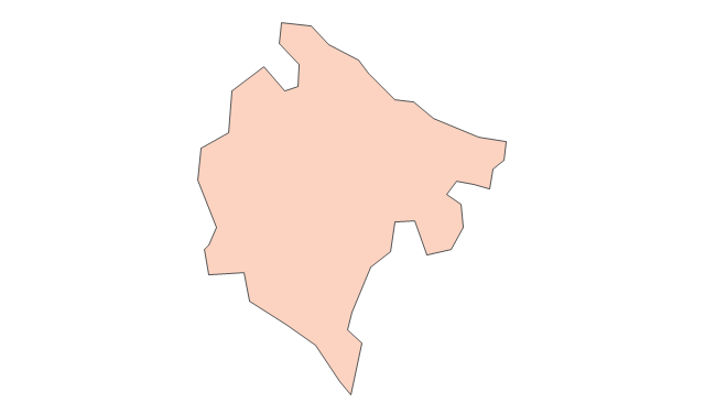
Europe
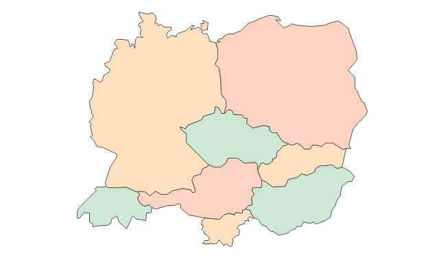
Central Europe
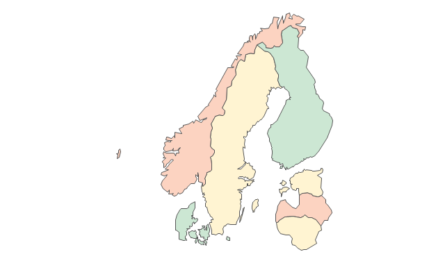
Scandanavia
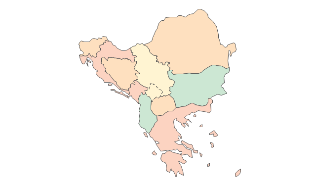
Balkans
Benelux
Albania
Austria
Belarus
Belgium
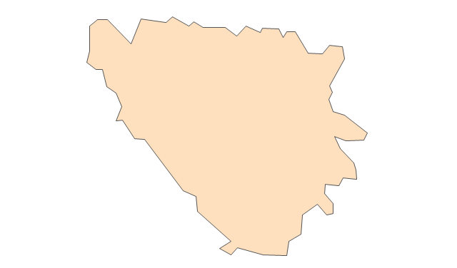
Bosnia and Herzegovina
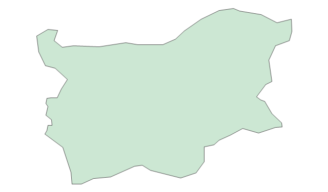
Bulgaria
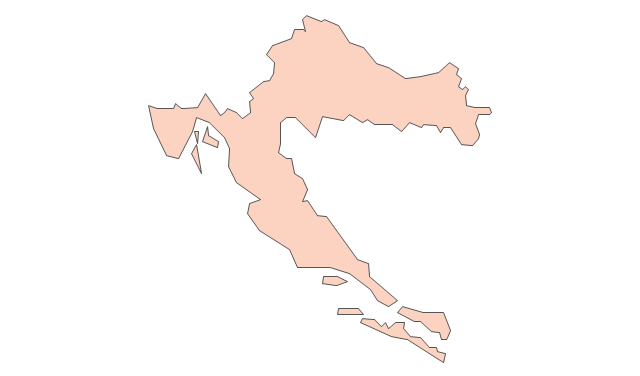
Croatia
Czech Republic
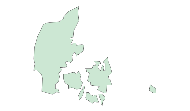
Denmark
Estonia
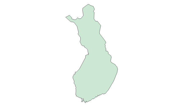
Finland
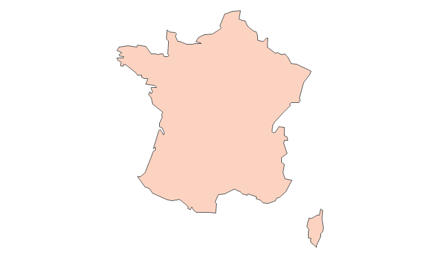
France
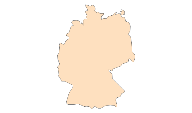
Germany
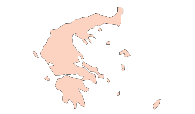
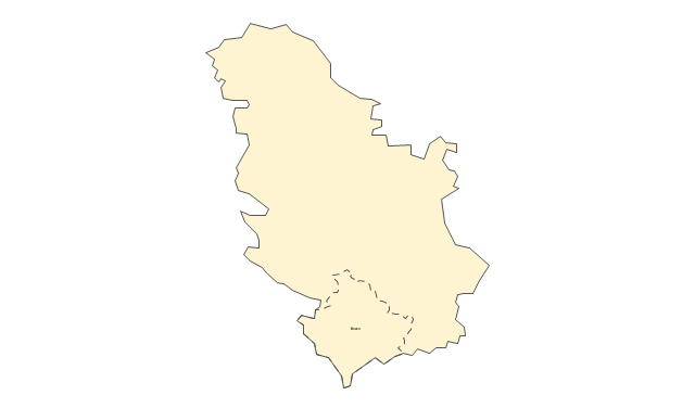
Greece
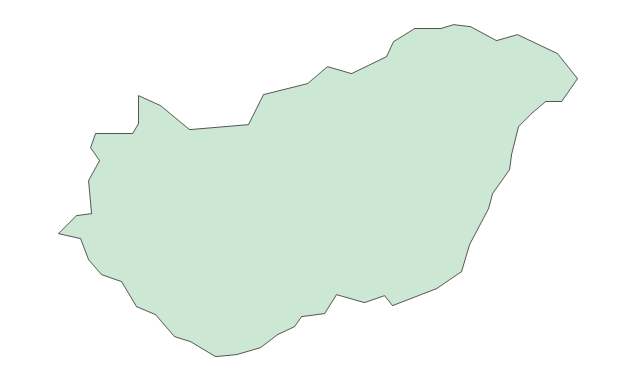
Hungary
Iceland
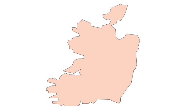
Ireland
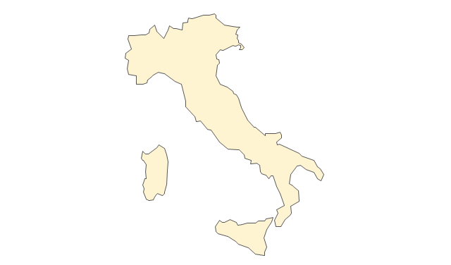
Italy
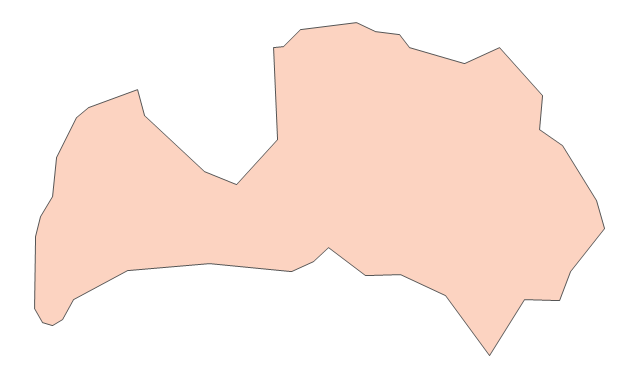
Latvia
Lithuania
Luxembourg
Macedonia
Malta
Moldova
Montenegro
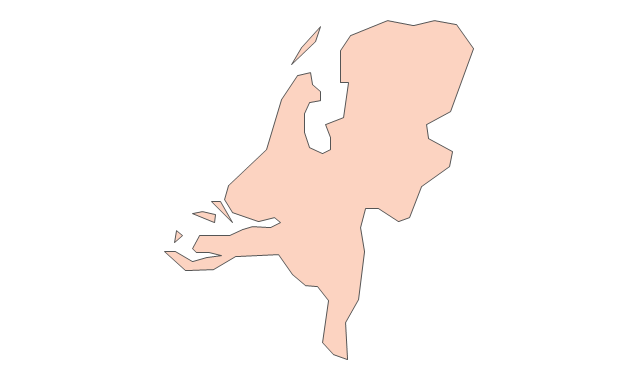
Netherlands
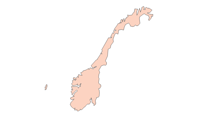
Norway
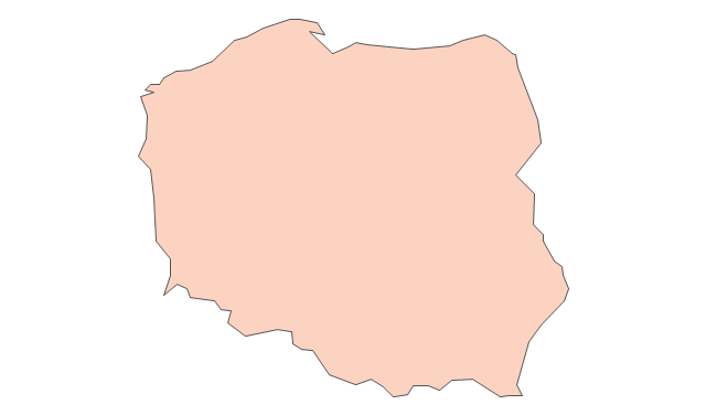
Poland
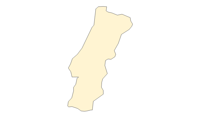
Portugal
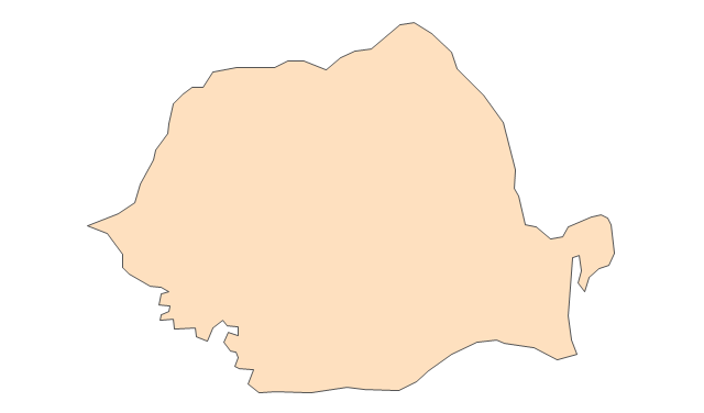
Romania
Russia
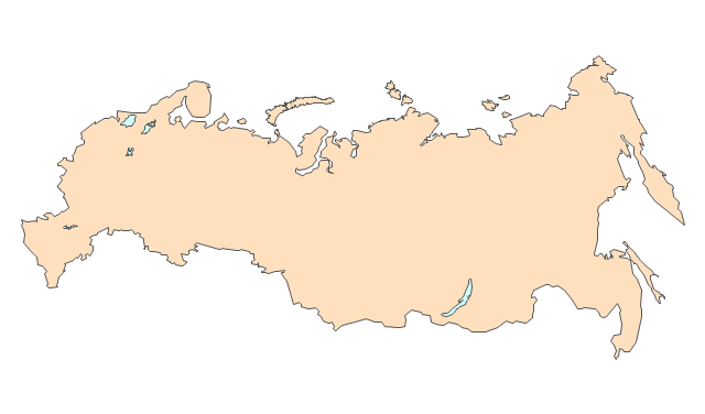
Russia (European)
-europe---vector-stencils-library.png--diagram-flowchart-example.png)
Serbia
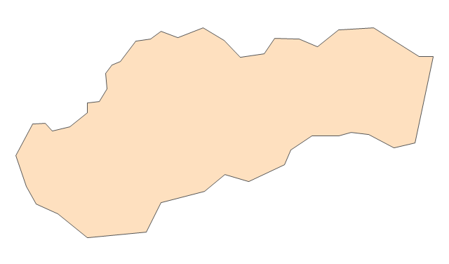
Slovakia
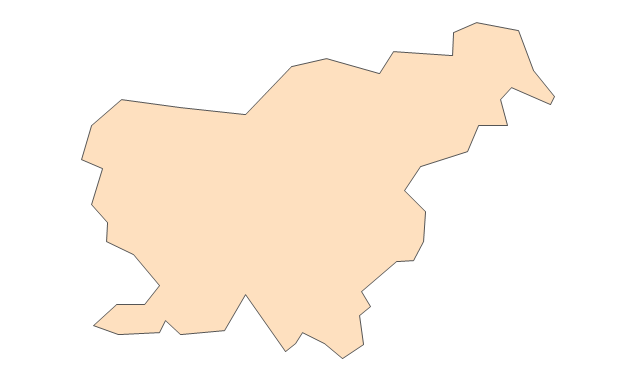
Slovenia
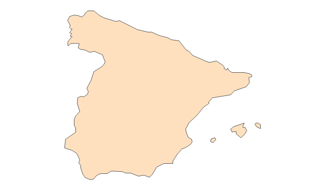
Spain
Sweden
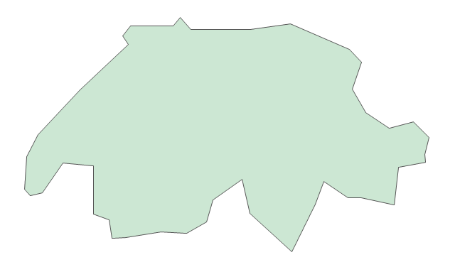
Switzerland
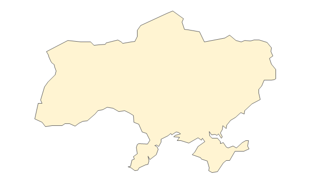
Ukraine
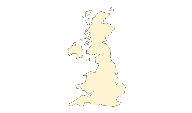
United Kingdom
Map of Germany

Geo Map - Africa

Vector design elements library Africa contains country map contours, geographical maps, cartograms and thematic maps for ConceptDraw PRO diagramming and vector drawing software. To help visualize the business and thematic information connected with geographic areas, locations or customs.
All ConceptDraw PRO documents are vector graphic files and are available for reviewing, modifying, and converting to a variety of formats: image, HTML, PDF file, MS PowerPoint Presentation, Adobe Flash, MS Visio (.VDX, .VSDX).
 Business Package for Management
Package intended for professional who designing and documenting business processes, preparing business reports, plan projects and manage projects, manage organizational changes, prepare operational instructions, supervising specific department of an organization, workout customer service processes and prepare trainings for customer service personal, carry out a variety of duties to organize business workflow.
- Continent And List Of Countries
- Geo Map - Europe - United Kingdom
- Geo Map - Europe - United Kingdom | Europe - Vector stencils ...
- Geo Map - Europe - Greece | Geo Map - United States of America ...
- Map of UK — Isle of Man
- Design elements - Europe
- Political map of Europe | European membership of the EU and ...
- European membership of the EU and NATO map | Geo Map ...
- Map Of Europe With Flags
- Map of UK — Great Britain | Map of UK | Geo Map - Europe - United ...
- West Africa countries | Geo Map - Africa | Middle East and North ...
- Spain Germany And France In Map Of Europe
- Political map of Europe | Continent Maps | European membership of ...
- Geo Map - Europe - Switzerland
- Geo Map - Europe - Ireland | Map of UK — Northern Ireland ...
- Geo Map - Europe - Finland
- Slovenia In The Map Of Europe
- Political Map Of Spain
- Europe France On Map
- Design elements - Continental map | European membership of the ...
- ERD | Entity Relationship Diagrams, ERD Software for Mac and Win
- Flowchart | Basic Flowchart Symbols and Meaning
- Flowchart | Flowchart Design - Symbols, Shapes, Stencils and Icons
- Flowchart | Flow Chart Symbols
- Electrical | Electrical Drawing - Wiring and Circuits Schematics
- Flowchart | Common Flowchart Symbols
- Flowchart | Common Flowchart Symbols