Spatial Infographics

Geo Map - Africa - Central African Republic
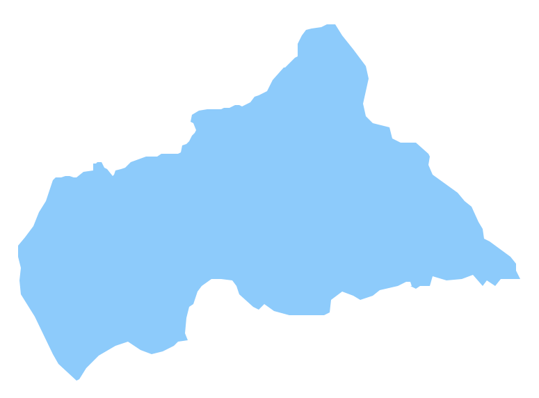
The vector stencils library Central African Republic contains contours for ConceptDraw DIAGRAM diagramming and vector drawing software. This library is contained in the Continent Maps solution from Maps area of ConceptDraw Solution Park.
Geo Map - Europe - Montenegro

Geo Map - Africa - Morocco

The vector stencils library Morocco contains contours for ConceptDraw DIAGRAM diagramming and vector drawing software. This library is contained in the Continent Maps solution from Maps area of ConceptDraw Solution Park.
Geo Map - South America - Jamaica

The vector stencils library Jamaica contains contours for ConceptDraw DIAGRAM diagramming and vector drawing software. This library is contained in the Continent Maps solution from Maps area of ConceptDraw Solution Park.
Geo Map — South America — Peru

The history of Peru goes back to the distant past and its divided into several main stages. Geography of Peru is also diverse - there is a desert, as well as the ocean coast, and of course the mountain ranges.
The Continent Maps solution from Maps area of ConceptDraw Solution Park provides stencil library Peru, which is made up of well-designed vector shapes delivering easy experience in creating diagrams with ConceptDraw DIAGRAM software.
All ConceptDraw DIAGRAM documents are vector graphic files and are available for reviewing, modifying, and converting to a variety of formats: image, HTML, PDF file, MS PowerPoint Presentation, Adobe Flash, MS Visio (.VDX,.VSDX).
Geo Map - USA - Kansas

The vector stencils library Kansas contains contours for ConceptDraw DIAGRAM diagramming and vector drawing software. This library is contained in the Continent Maps solution from Maps area of ConceptDraw Solution Park.
Geo Map - Asia - Kuwait

The vector stencils library Kuwait contains contours for ConceptDraw DIAGRAM diagramming and vector drawing software. This library is contained in the Continent Maps solution from Maps area of ConceptDraw Solution Park.
Transportation Infographics
Map of England

Design of various maps, including the Map of England is usually complex and labor-intensive process. But now we have a possibility to create UK maps fast and easy thanks to the ConceptDraw DIAGRAM diagramming and vector drawing software enhanced with Map of UK Solution from the Maps Area of ConceptDraw Solution Park.
- Australia states time zones - Thematic map | Australia map ...
- Languages of South America - Thematic map | Geo Map - South ...
- North America Thematic Map
- Languages of South America - Thematic map | South America ...
- Australia states time zones - Thematic map | Design elements ...
- Broadcast Area for Movie Central - Thematic map | Geo Map ...
- Languages of South America - Thematic map | Design elements ...
- Benefit Corporation legislation - Thematic map | United States ...
- Languages of South America - Thematic map | Geo Map - South ...
- Design elements - Thematic maps | Design elements - Continental ...
- ERD | Entity Relationship Diagrams, ERD Software for Mac and Win
- Flowchart | Basic Flowchart Symbols and Meaning
- Flowchart | Flowchart Design - Symbols, Shapes, Stencils and Icons
- Flowchart | Flow Chart Symbols
- Electrical | Electrical Drawing - Wiring and Circuits Schematics
- Flowchart | Common Flowchart Symbols
- Flowchart | Common Flowchart Symbols