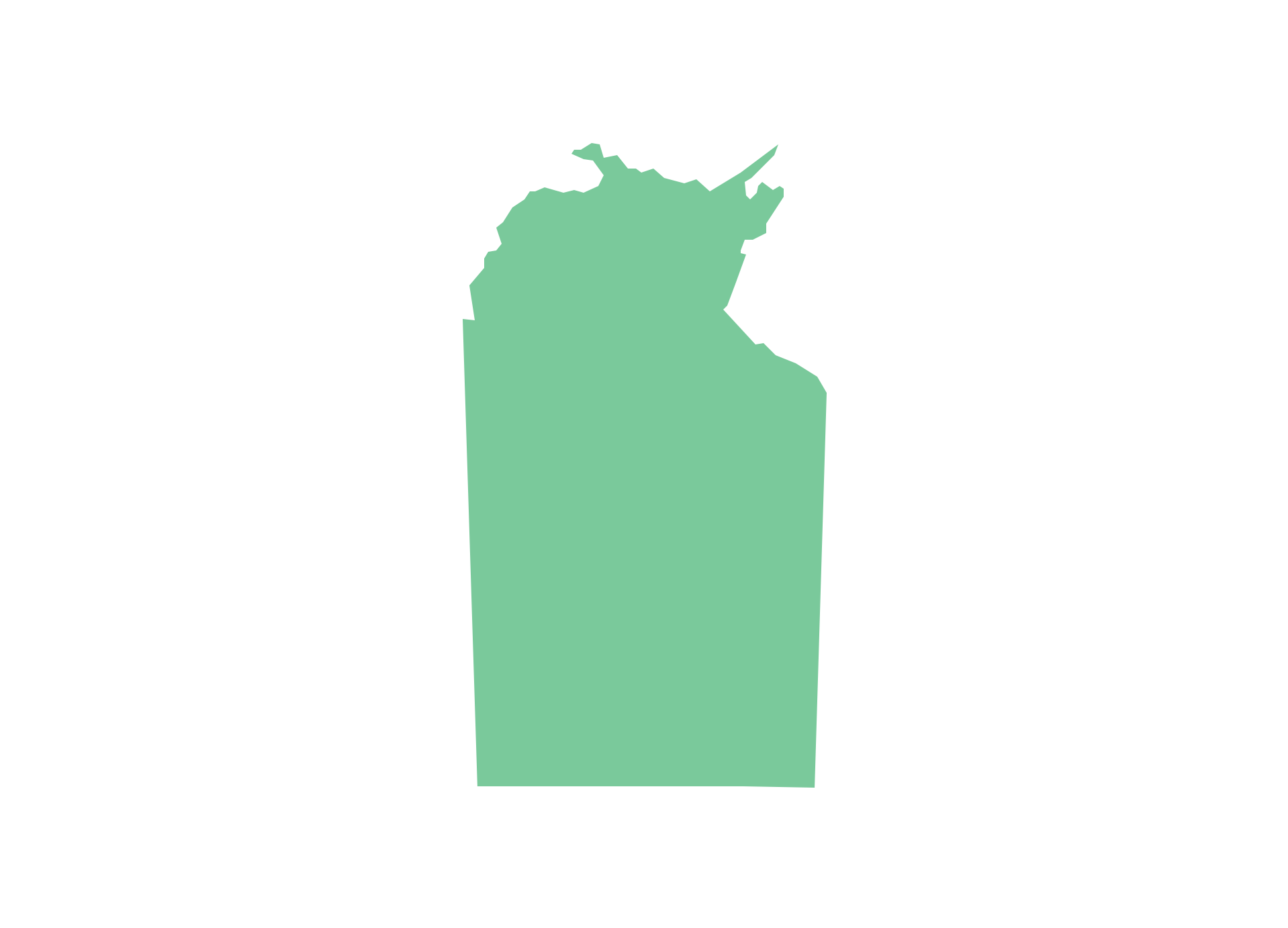
Geo Map - Australia - Nothern Territory
Use the Australia library to draw thematic maps, geospatial infographics and vector illustrations for your business documents, presentations and websites.Geo Map - Canada - Northwest Territories
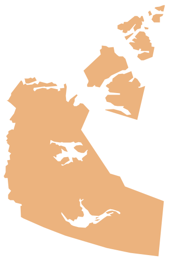
The Northwest Territories (NWT; French: les Territoires du Nord-Ouest, TNO) is one of three federal territories of Canada.The vector stencils library Northwest Territories contains contours for ConceptDraw PRO diagramming and vector drawing software. This library is contained in the Continent Maps solution from Maps area of ConceptDraw Solution Park.
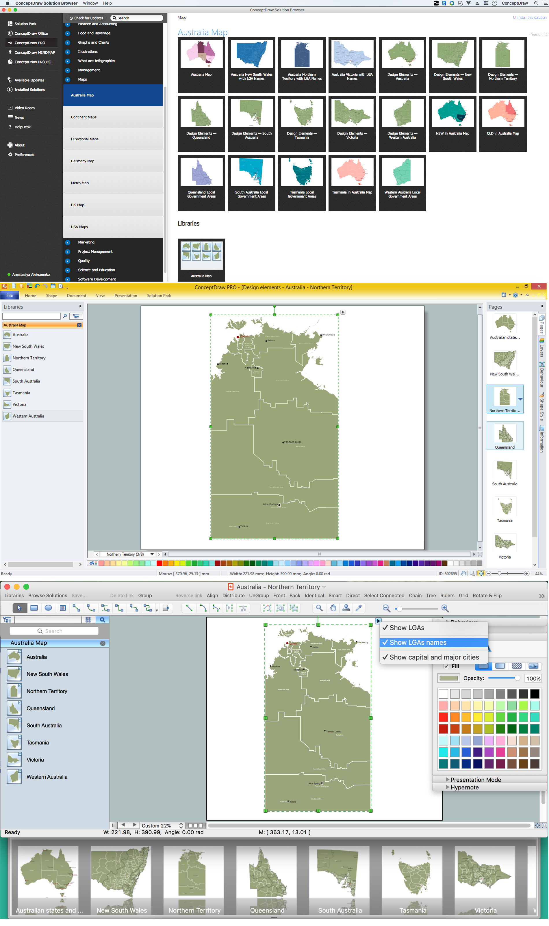
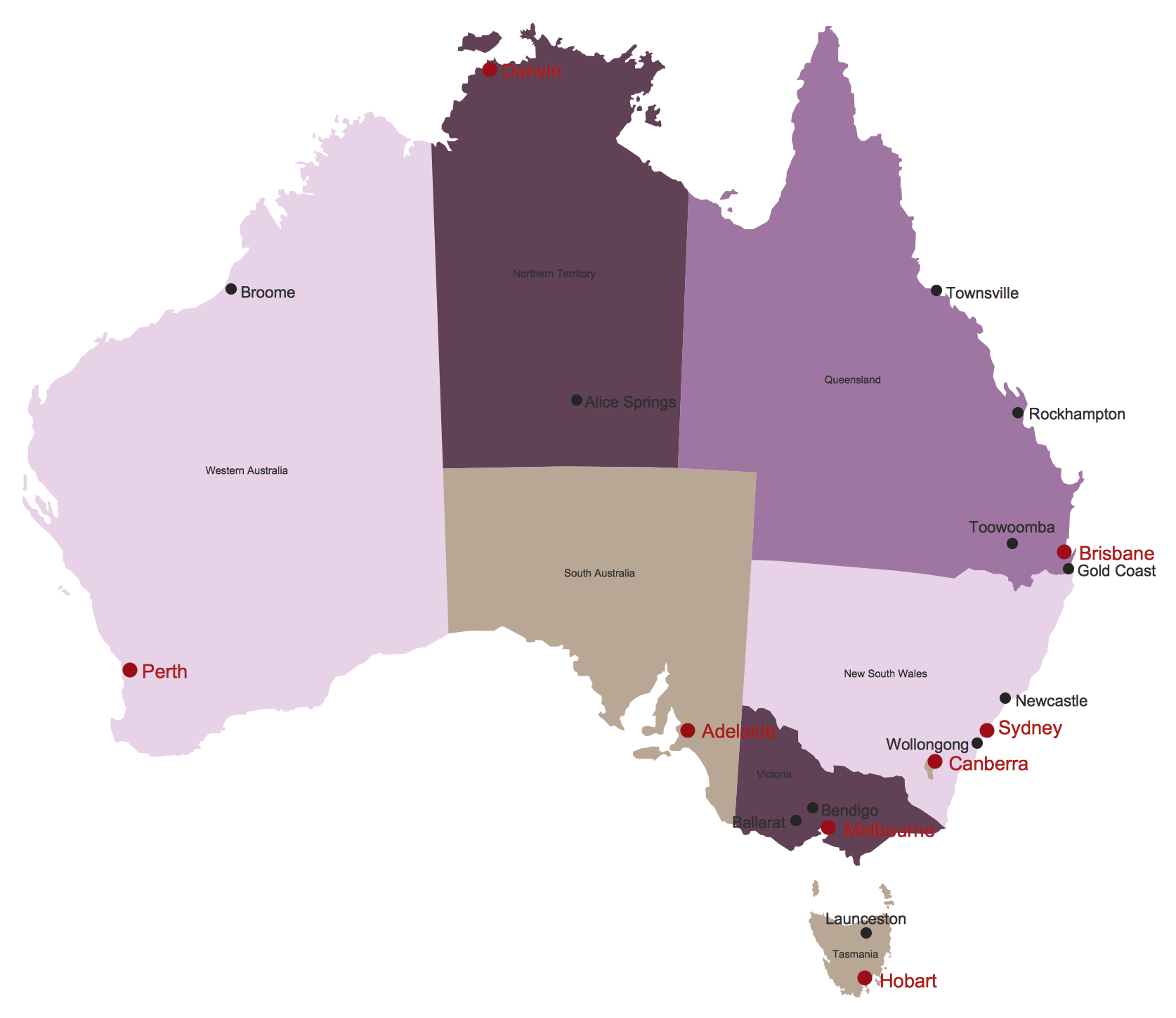
Australia Map — Northern Territory
The Northern Territory (abbreviated as NT) is a federal Australian territory in the centre and central northern regions.Maps surround us everywhere in our life, study, work, traveling, they are widely used in geography, history, politics, economics, and many other fields of science and life activity. But designing of maps is usually complex and labor-intensive process. Now we have the possibility to make easier this process - ConceptDraw PRO diagramming and vector drawing software extended with Australia Map Solution from the Maps Area of ConceptDraw Solution Park will help us in easy drawing detailed Australia map.
Geo Map - Canada - Yukon
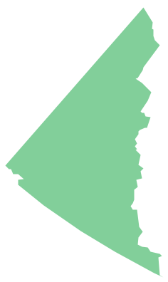
Yukon is the westernmost and smallest of Canada's three federal territories. Whitehorse is the territorial capital.The vector stencils library Yukon contains contours for ConceptDraw PRO diagramming and vector drawing software. This library is contained in the Continent Maps solution from Maps area of ConceptDraw Solution Park.
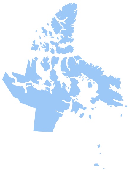
Geo Map - Canada - Nunavut
Nunavut is the largest, northernmost and newest territory of Canada.The vector stencils library Nunavut contains contours for ConceptDraw PRO diagramming and vector drawing software. This library is contained in the Continent Maps solution from Maps area of ConceptDraw Solution Park.
Types of Map - Overview
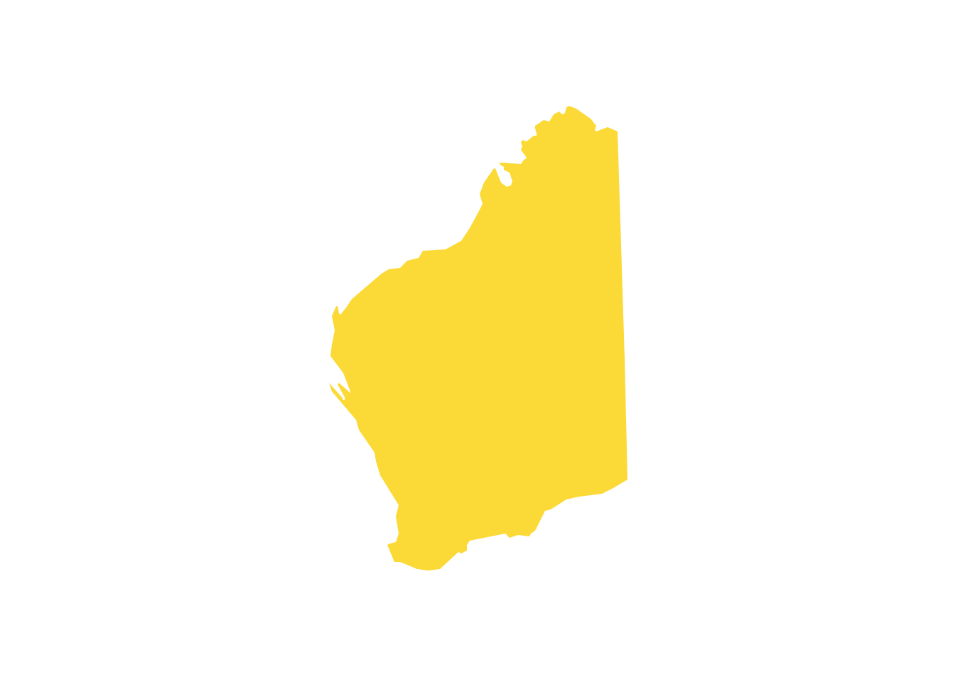
ConceptDraw defines some map types, divided into three categories. Every map type has specific shapes and examples.Geo Map - Australia - Western Australia
Western Australia (abbreviated as WA) is a state occupying the entire western third of Australia.Australia Map
Maps surround us everywhere in our life, study, work, traveling, they are widely used in geography, history, politics, economics, and many other fields of science and life activity. But designing of maps is usually complex and labor-intensive process. Now we have the possibility to make easier this process - ConceptDraw PRO diagramming and vector drawing software extended with Australia Map Solution from the Maps Area of ConceptDraw Solution Park will help us in easy drawing detailed Australia map.Geo Map - Canada - Prince Edward Island
Prince Edward Island is a Canadian province consisting of the island itself, as well as other islands.The vector stencils library Prince Edward Island contains contours for ConceptDraw PRO diagramming and vector drawing software. This library is contained in the Continent Maps solution from Maps area of ConceptDraw Solution Park.
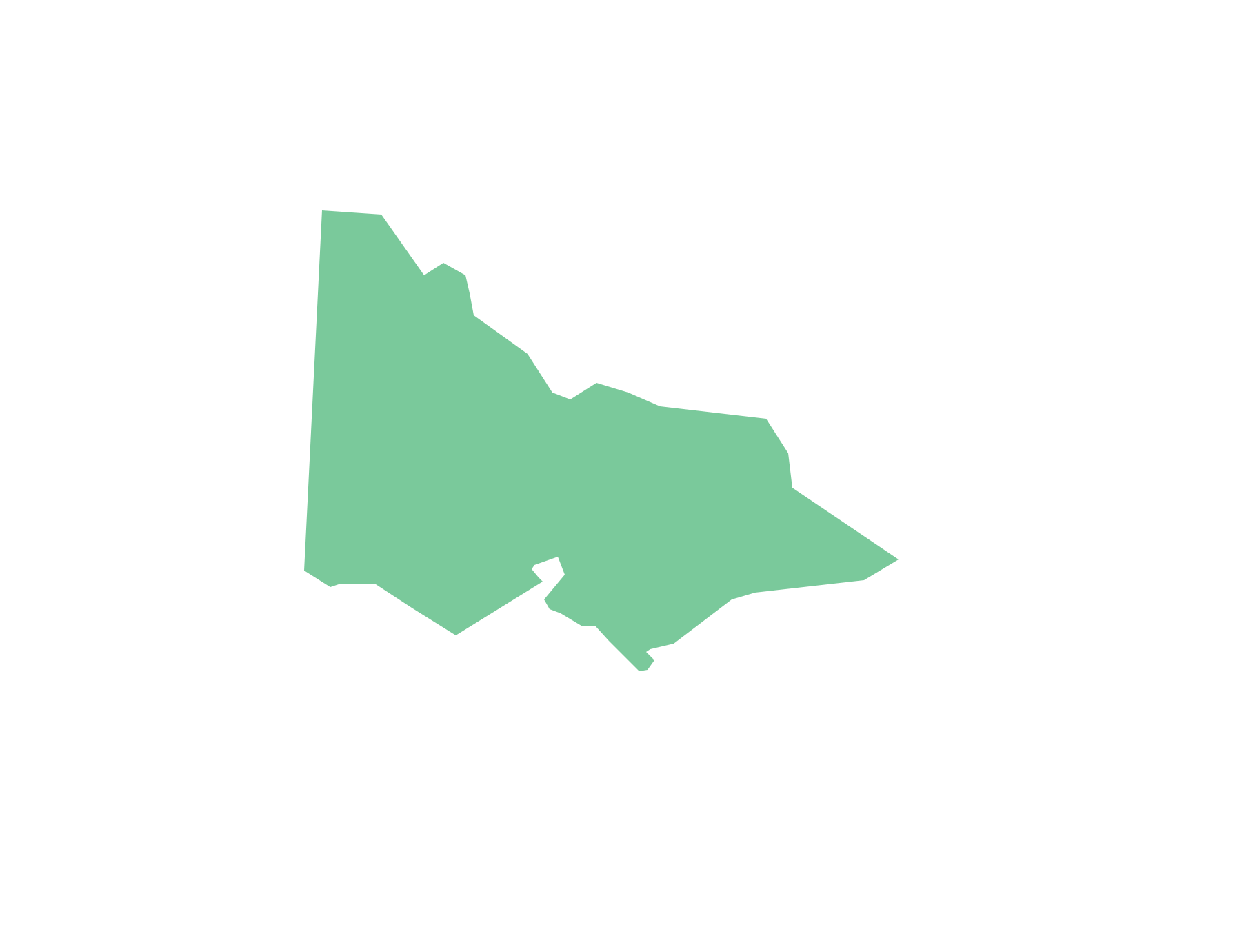
Geo Map - Australia - Victoria
Victoria (abbreviated as Vic.) is a state in the south-east of Australia. Victoria is Australia's most densely populated state and its second-most populous state overall.- Territory Mapping Software Free Australia
- Continent Maps | Canada Sales Territories Map
- Australia Map | Network Diagram Software Logical Network Diagram ...
- Swot Analysis Sales Territory
- Free Territory Sales Map Software
- Mapping Software For Territories
- Geo Map - Australia - Nothern Territory | How to Draw Maps of ...
- Northern Territory
- Canada Provinces And Territories Map Contour
- Map Territory Creator
- ERD | Entity Relationship Diagrams, ERD Software for Mac and Win
- Flowchart | Basic Flowchart Symbols and Meaning
- Flowchart | Flowchart Design - Symbols, Shapes, Stencils and Icons
- Flowchart | Flow Chart Symbols
- Electrical | Electrical Drawing - Wiring and Circuits Schematics
- Flowchart | Common Flowchart Symbols
- Flowchart | Common Flowchart Symbols
