The vector stencils library "Geography" contains 14 clipart images of natural landscapes and water features for drawing illustrations.
"A natural landscape is a landscape that is unaffected by human activity. A natural landscape is intact when all living and nonliving elements are free to move and change. The nonliving elements distinguish a natural landscape from a wilderness. A wilderness includes areas within which natural processes operate without human interference, but a wilderness must contain life. As implied, a natural landscape may contain either the living or nonliving or both." [Natural landscape. Wikipedia]
The clip art example "Geography - Vector stencils library" was created using the ConceptDraw PRO diagramming and vector drawing software extended with the Nature solution from the Illustration area of ConceptDraw Solution Park.
www.conceptdraw.com/ solution-park/ illustrations-nature
Ocean

Forest

River

Lake

Waterfall

Mountains

Mountain

Ravine

Volcano

Desert

Hills

Iceberg

Conifer tree

Tree

Landscape Plan

The vector clipart library Geography contains 14 images of geographical features: ocean, forest, river, lake, waterfall, mountains, ravine, volcano, desert, hills, iceberg, trees.
Use the design elements library Geography to draw illustrations with landform images using the ConceptDraw PRO diagramming and vector drawing software.
"A landform in the earth sciences comprises a geomorphological unit, and is largely defined by its surface form and location in the landscape. As part of the terrain a landform is an element of topography. Landform elements also include land such as hills, mountains, plateaus,canyons,valleys, seascape and oceanic waterbody interface features such as bays, peninsulas, seas and so forth, including sub-aqueous terrain features such as mid-ocean ridges, volcanoes,and the great ocean basins." [Landform. Wikipedia]
This landscape illustration example is included in the Nature solution from the Illustration area of ConceptDraw Solution Park.
Vector illustration

Geo Map - Africa - Ghana

The vector stencils library Ghana contains contours for ConceptDraw PRO diagramming and vector drawing software. This library is contained in the Continent Maps solution from Maps area of ConceptDraw Solution Park.
Geo Map - Europe - Austria

Geo Map - Asia - Kazakhstan

The vector stencils library Kazakhstan contains contours for ConceptDraw PRO diagramming and vector drawing software. This library is contained in the Continent Maps solution from Maps area of ConceptDraw Solution Park.
Geo Map - Africa - Somalia

The vector stencils library Somalia contains contours for ConceptDraw PRO diagramming and vector drawing software. This library is contained in the Continent Maps solution from Maps area of ConceptDraw Solution Park.
Geo Map - Asia - South Korea

The vector stencils library South Korea contains contours for ConceptDraw PRO diagramming and vector drawing software. This library is contained in the Continent Maps solution from Maps area of ConceptDraw Solution Park.
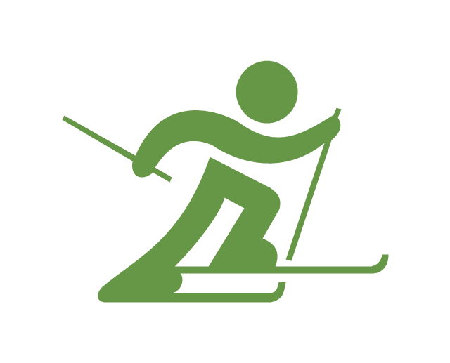
"Cross-country skiing (or XC skiing) is a form of ski touring in which participants propel themselves across snow-covered terrain using skis and poles. The activity is popular in many places with large snowfields, primarily Northern Europe, Canada, and Alaska.
Cross-country skiing is part of the Nordic skiing sport family, which includes ski jumping, Nordic combined (cross-country skiing and ski jumping), Biathlon (skiing and rifle marksmanship) and ski-orienteering (which includes map navigation along snow trails and tracks). Cross-country skiing is the modern style of skiing that most resembles prehistoric skiing, particularly when done in the backcountry. It is also related to Telemark skiing." [Cross-country skiing. Wikipedia]
The vector icon example "Cross-country skiing" represents one of 20 symbols from the Winter sports pictograms library for the ConceptDraw PRO diagramming and vector drawing software.
The design elements library Winter sports pictograms is included in the Winter Sports solution from the Sport area of ConceptDraw Solution Park.
Cross-country skiing
Geo Map — USA — Colorado

The vector stencils library Colorado contains contours for ConceptDraw PRO diagramming and vector drawing software. This library is contained in the Continent Maps solution from Maps area of ConceptDraw Solution Park.
- Design elements - Geography | Desert Terrain Clipart Png
- Design elements - Geography | Geography - Vector stencils library ...
- Vector Map Terrain Symbols
- Geo Map - Asia - Kazakhstan
- Icon Terrain
- Geography - Vector stencils library
- Geography - Vector stencils library
- Terrain Icon
- Geography - Vector stencils library | How to Draw a Natural ...
- Landscape Plan | Geography - Vector stencils library | Design ...
- Design elements - Android system icons (maps) | Android Terrain ...
- Geography - Vector stencils library
- Design elements - Geography | Valley Landform Clipart
- Waterfall Bar Chart | SSADM Diagram | Best Program to Make ...
- Map Software | Design elements - Geography | Beauty in nature ...
- Winter sports pictograms - Vector stencils library | Design elements ...
- Design elements - Geography | How to Draw a Natural Landscape ...
- Design elements - Geography | Rail transport - Design elements ...
- Png Mountain River
- Waterfall Bar Chart | Geography - Vector stencils library | SSADM ...
- ERD | Entity Relationship Diagrams, ERD Software for Mac and Win
- Flowchart | Basic Flowchart Symbols and Meaning
- Flowchart | Flowchart Design - Symbols, Shapes, Stencils and Icons
- Flowchart | Flow Chart Symbols
- Electrical | Electrical Drawing - Wiring and Circuits Schematics
- Flowchart | Common Flowchart Symbols
- Flowchart | Common Flowchart Symbols