Geo Map — South America Continent

ConceptDraw DIAGRAM is idea to draw the geological maps of South America continent from the pre-designed vector geo map shapes.
Use Continent Maps solution from the Maps area of ConceptDraw Solution Park to draw thematic maps, geospatial infographics and vector illustrations for your business documents, presentations and websites.
Geo Map - South America - Brazil

The vector stencils library Brazil contains contours for ConceptDraw DIAGRAM diagramming and vector drawing software. This library is contained in the Continent Maps solution from Maps area of ConceptDraw Solution Park.
Use this template of South America map with contours of South American countries, capitals and main cities to design your political or thematic map. This South America map template for the ConceptDraw PRO diagramming and vector drawing software is included in the Continent Maps solution from the Maps area of ConceptDraw Solution Park.
South America map

Geo Map — South America — Peru

The history of Peru goes back to the distant past and its divided into several main stages. Geography of Peru is also diverse - there is a desert, as well as the ocean coast, and of course the mountain ranges.
The Continent Maps solution from Maps area of ConceptDraw Solution Park provides stencil library Peru, which is made up of well-designed vector shapes delivering easy experience in creating diagrams with ConceptDraw DIAGRAM software.
All ConceptDraw DIAGRAM documents are vector graphic files and are available for reviewing, modifying, and converting to a variety of formats: image, HTML, PDF file, MS PowerPoint Presentation, Adobe Flash, MS Visio (.VDX,.VSDX).
Geo Map - South America - Suriname

The vector stencils library Suriname contains contours for ConceptDraw DIAGRAM diagramming and vector drawing software. This library is contained in the Continent Maps solution from Maps area of ConceptDraw Solution Park.
Geo Map - South America - El Salvador

The vector stencils library El Salvador contains contours for ConceptDraw DIAGRAM diagramming and vector drawing software. This library is contained in the Continent Maps solution from Maps area of ConceptDraw Solution Park.
Geo Map - South America - Honduras

The vector stencils library Honduras contains contours for ConceptDraw DIAGRAM diagramming and vector drawing software. This library is contained in the Continent Maps solution from Maps area of ConceptDraw Solution Park.
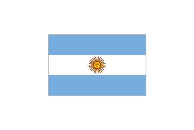
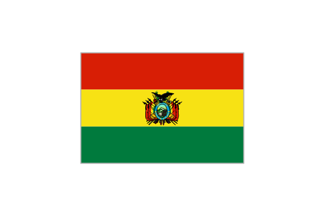
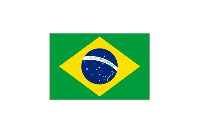
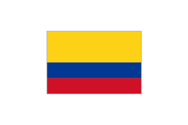
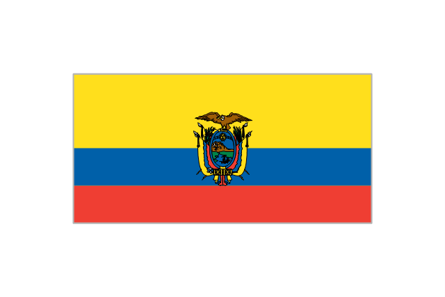
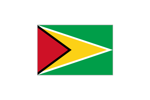
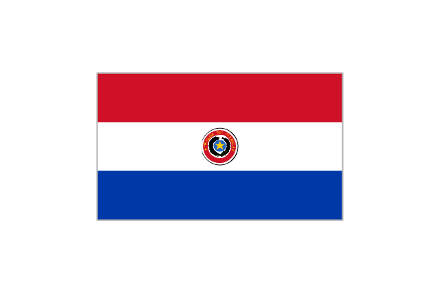
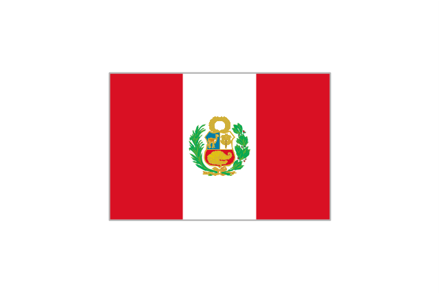
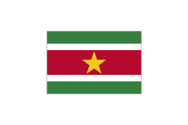
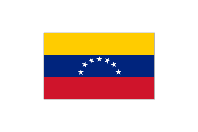
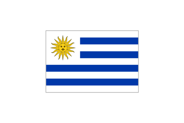
The vector stencils library "South America country flags" contains 13 clipart images of South American state flags. Use the South America country flags clip art to illustrate your business documents, presentation slides, web pages, geo maps and infographics. The clip art example "South America country flags - Vector stencils library" was created using the ConceptDraw PRO diagramming and vector drawing software extended with the Artwork solution from the Illustration area of ConceptDraw Solution Park.
Argentina
Bolivia
Brazil
Chile

Colombia
Ecuador
Guyana
Paraguay
Peru
Suriname
Trinidad and Tobago

Venezuela
Uruguay
Geo Map - South America - Guyana

The vector stencils library Guyana contains contours for ConceptDraw DIAGRAM diagramming and vector drawing software. This library is contained in the Continent Maps solution from Maps area of ConceptDraw Solution Park.
Geo Map - South America - Chile

The vector stencils library Chile contains contours for ConceptDraw DIAGRAM diagramming and vector drawing software. This library is contained in the Continent Maps solution from Maps area of ConceptDraw Solution Park.
- South America country flags - Vector stencils library | South America ...
- Southern Cone - Political map | South America regions - Political ...
- Geo Map - South America Continent | Countries Of North America In ...
- South America flags - Stencils library | South America country flags ...
- Geo Map - South America Continent | North American Countries In ...
- Geo Map - South America Continent | North America Country In Hindi
- South America Capitals By Countries In Hindi
- North America map with capitals - Template | South America map ...
- South America map with capitals - Template | Geo Map - South ...
- Geo Map - South America Continent | Geo Map - South America ...
- ERD | Entity Relationship Diagrams, ERD Software for Mac and Win
- Flowchart | Basic Flowchart Symbols and Meaning
- Flowchart | Flowchart Design - Symbols, Shapes, Stencils and Icons
- Flowchart | Flow Chart Symbols
- Electrical | Electrical Drawing - Wiring and Circuits Schematics
- Flowchart | Common Flowchart Symbols
- Flowchart | Common Flowchart Symbols