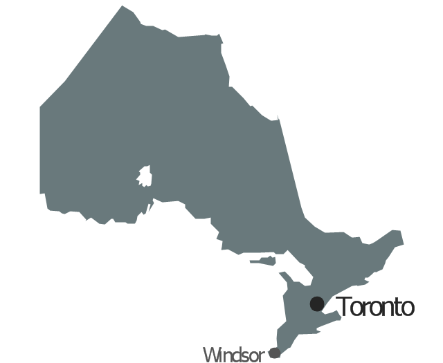
Geo Map - Canada - Ontario

The vector stencils library Ontario contains contours for ConceptDraw PRO diagramming and vector drawing software. This library is contained in the Continent Maps solution from Maps area of ConceptDraw Solution Park.
The vector stencils library "Management map Canada" contains 14 state map contours of Canada.
Use it to create your management infogram in the ConceptDraw PRO diagramming and vector drawing software.
The state map contours example "Management map Canada - Vector stencils library" is included in the solution "Marketing infographics" from the "Business infographics" area of ConceptDraw Solution Park.
Canada
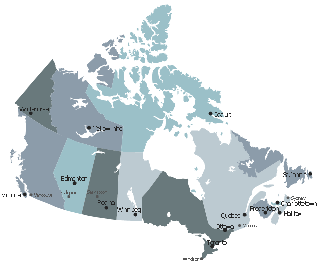
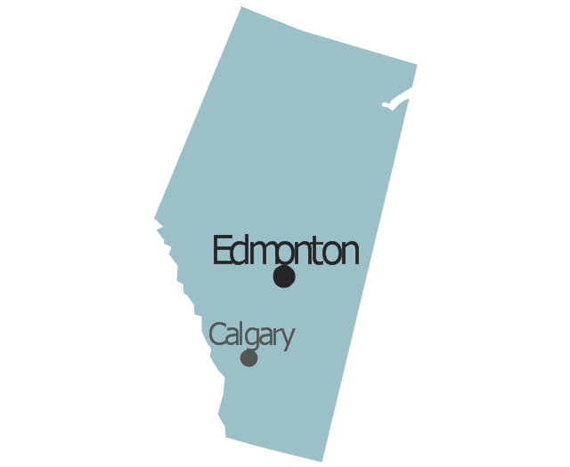
Alberta
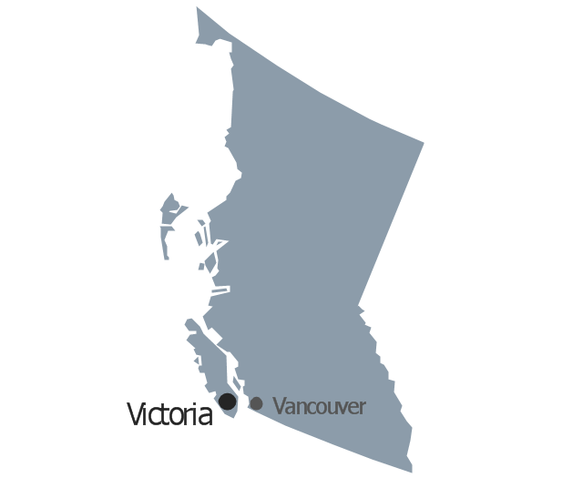
British Columbia
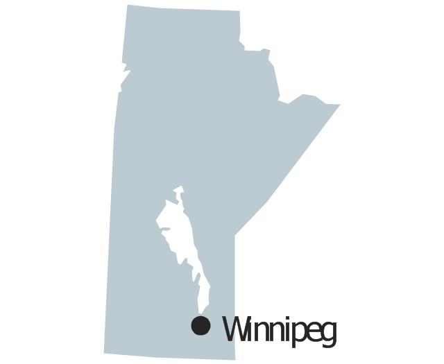
Manitoba
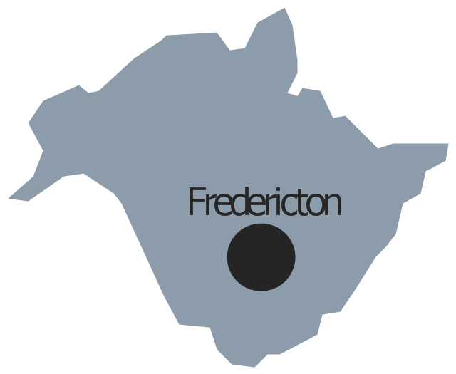
New Brunswick
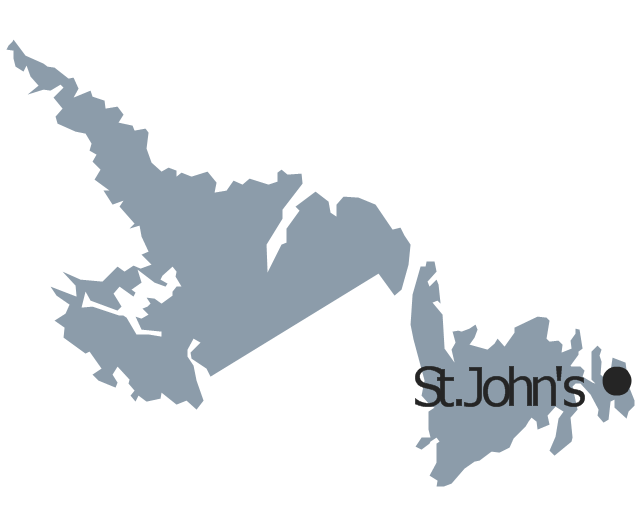
Newfoundland and Labrador
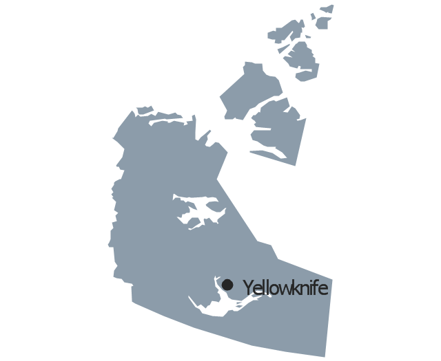
Northwest Territories
Nova Scotia

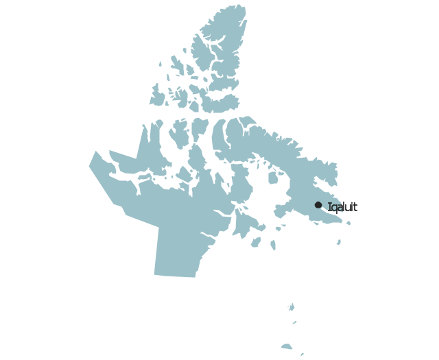
Nunavut
Ontario
Prince Edward Island

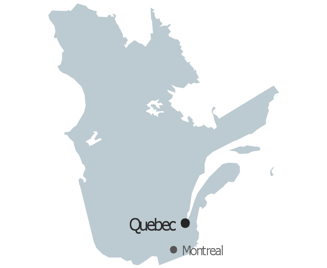
Quebec
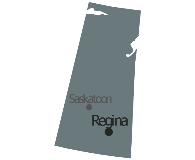
Saskatchewan
Yukon

Geo Map - Asia

Use Geo Map Asia to draw thematic maps, geospatial infographics and vector illustrations for your business documents, presentations and websites.
Geo Map - Africa

Vector design elements library Africa contains country map contours, geographical maps, cartograms and thematic maps for ConceptDraw PRO diagramming and vector drawing software. To help visualize the business and thematic information connected with geographic areas, locations or customs.
All ConceptDraw PRO documents are vector graphic files and are available for reviewing, modifying, and converting to a variety of formats: image, HTML, PDF file, MS PowerPoint Presentation, Adobe Flash, MS Visio (.VDX, .VSDX).
Geo Map - Africa - Morocco

The vector stencils library Morocco contains contours for ConceptDraw PRO diagramming and vector drawing software. This library is contained in the Continent Maps solution from Maps area of ConceptDraw Solution Park.
Continents Map

 Continent Maps
Continent Maps solution extends ConceptDraw PRO software with templates, samples and libraries of vector stencils for drawing the thematic maps of continents, state maps of USA and Australia.
- Geo Map - Canada - Ontario | Canada - Vector stencils library | Ice ...
- Geo Map - Canada - Ontario | Canada - Vector stencils library ...
- Canada Province Capital
- Geo Map - Canada - Nunavut | Canada - Vector stencils library | Geo ...
- Canada - Vector stencils library | Geo Map - Canada - Prince ...
- Geo Map - Canada - Northwest Territories | Canada - Vector stencils ...
- Geo Map - Canada - Ontario | Geo Map - Canada - British Columbia ...
- Geo Map - Canada - Ontario | Vector Map of Germany | Geo Map ...
- Geo Map - Canada - Saskatchewan | Canada - Vector stencils ...
- Geo Map - Canada - Ontario | Toronto Ontario Map Vector
- Vector Map Of Canada's 10 Provinces And 3 Territories
- Alberta Canada Map New Brunswick
- Geo Map - Canada - Newfoundland and Labrador | North America ...
- Where Are The Capitals In The Ten Provinces And Three Territories
- Geo Map - Canada - Prince Edward Island
- Vector Saskatchewan Parks Logo
- Geo Map - Canada | Canada political map | Canada regions ...
- North America map with capitals - Template | Geo Map - United ...
- Continents Map | Spatial infographics Design Elements: Continental ...
- North America map with capitals - Template | How to Draw a Map of ...
- ERD | Entity Relationship Diagrams, ERD Software for Mac and Win
- Flowchart | Basic Flowchart Symbols and Meaning
- Flowchart | Flowchart Design - Symbols, Shapes, Stencils and Icons
- Flowchart | Flow Chart Symbols
- Electrical | Electrical Drawing - Wiring and Circuits Schematics
- Flowchart | Common Flowchart Symbols
- Flowchart | Common Flowchart Symbols