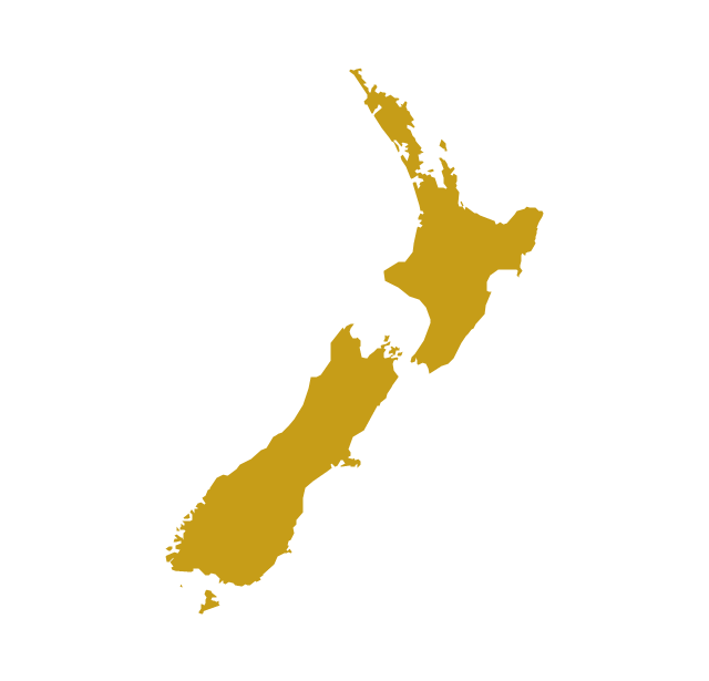
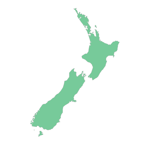
Geo Map - Australia - New Zealand

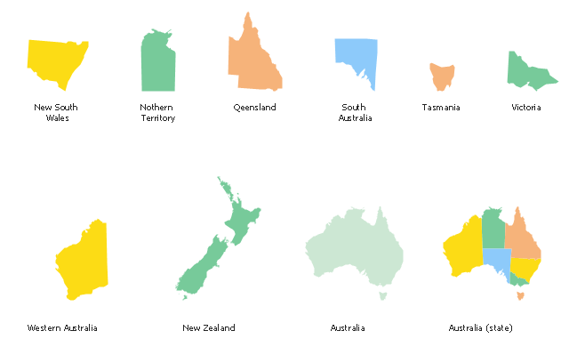
The vector stencils library "Australia and New Zealand" contains 10 contours for drawing thematic maps of Australia and New Zealand.
Use it in your spatial infographics for visual representation of geospatial information, statistics and quantitative data in the ConceptDraw PRO diagramming and vector drawing software extended with the Spatial Infographics solution from the area "What is Infographics" of ConceptDraw Solution Park.
Use it in your spatial infographics for visual representation of geospatial information, statistics and quantitative data in the ConceptDraw PRO diagramming and vector drawing software extended with the Spatial Infographics solution from the area "What is Infographics" of ConceptDraw Solution Park.
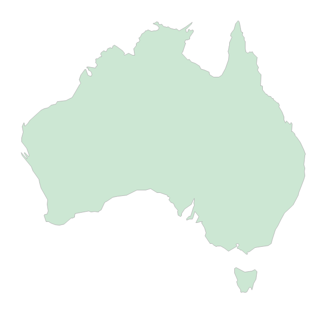
Australia

Australia (states)
-australia-and-new-zealand---vector-stencils-library.png--diagram-flowchart-example.png)
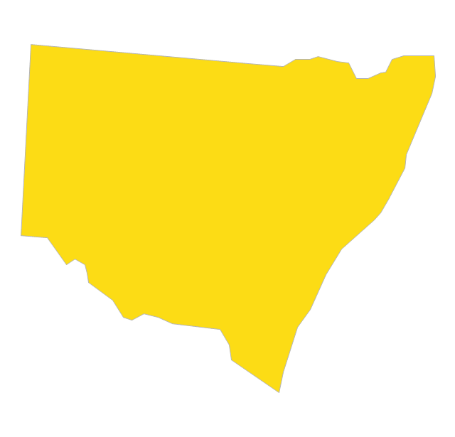
New South Wales

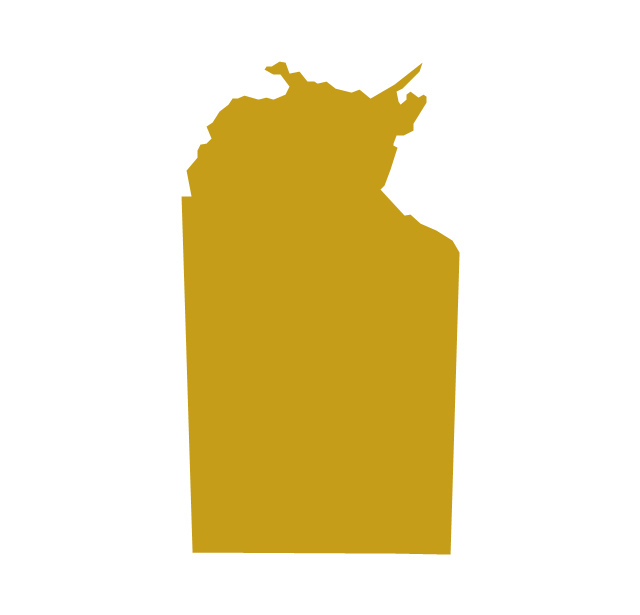
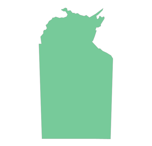
Northern Territory
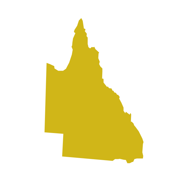
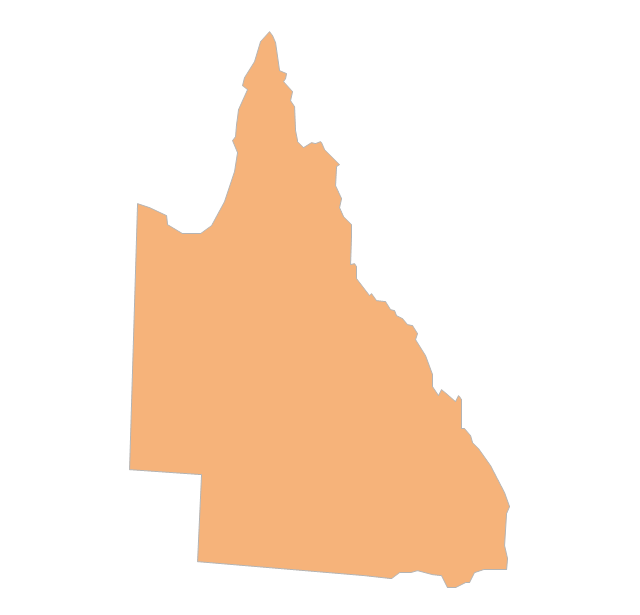
Queensland
South Australia

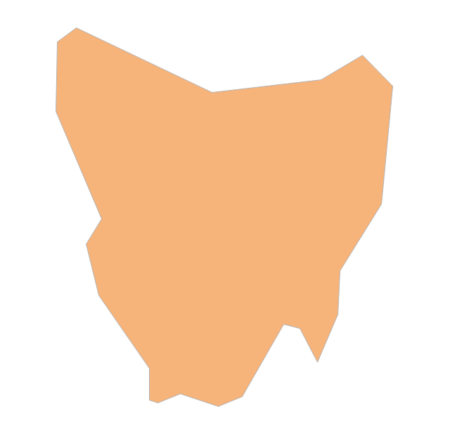
Tasmania

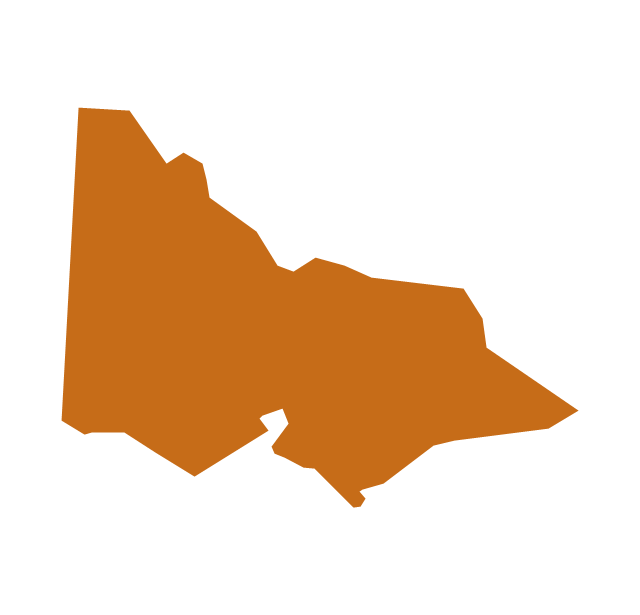
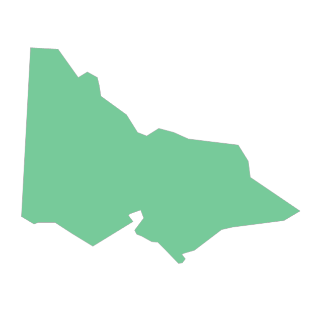
Victoria
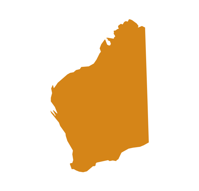
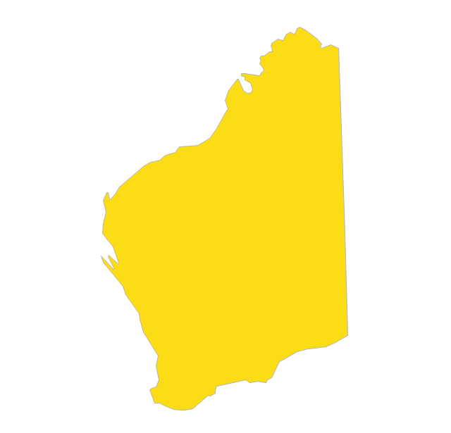
Western Australia
New Zealand
The vector stencils library "Australia" contains 10 Australian states and territories, and New Zealand map contours for drawing thematic maps of Australia and New Zealand. Use it for visual representation of geospatial information, statistics and quantitative data.
"Australia has six states - New South Wales (NSW), Queensland (QLD), South Australia (SA), Tasmania (TAS), Victoria (VIC) and Western Australia (WA) - and two major mainland territories - the Australian Capital Territory (ACT) and the Northern Territory (NT)." [Australia. Wikipedia]
The map contours example "Australia and New Zealand - Vector stencils library" was created using the ConceptDraw PRO diagramming and vector drawing software extended with the Continent Maps solution from the Maps area of ConceptDraw Solution Park.
Australia
Australia (state)
-australia-and-new-zealand---vector-stencils-library.png--diagram-flowchart-example.png)
New South Wales
Northern Territory
Queensland
South Australia

Tasmania
Victoria
Western Australia
New Zealand
Geo Map - Australia

Geo Map - Australia - Western Australia

Geo Map - Australia - Nothern Territory

Geo Map - Australia - Victoria

Geo Map - Australia - Queensland

Geo Map - Australia - Tasmania

Geo Map - Australia - South Australia

Geo Map - Australia - New South Wales

Use the map contours library "Australia" to design thematic maps using the ConceptDraw PRO diagramming and vector drawing software.
The vector stencils library "Australia" contains 10 map contours: Australia continent contour, Australia political maps, map contours of New Zealand and Australian states and mainland territories: New South Wales, Nothern Territory, Qeensland, Tasmania, Victoria, Western Australia.
The map contours example "Design elements - Australia" is included in the Continent Maps solution from the Maps area of ConceptDraw Solution Park.
Australia and New Zealand map contours
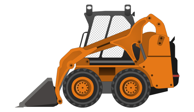
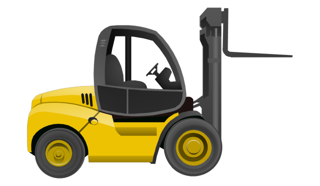
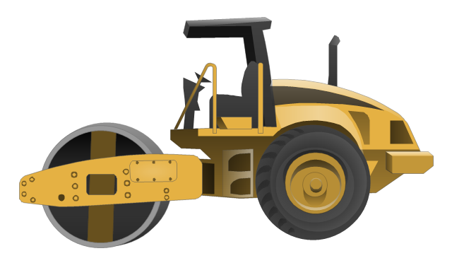
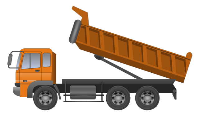
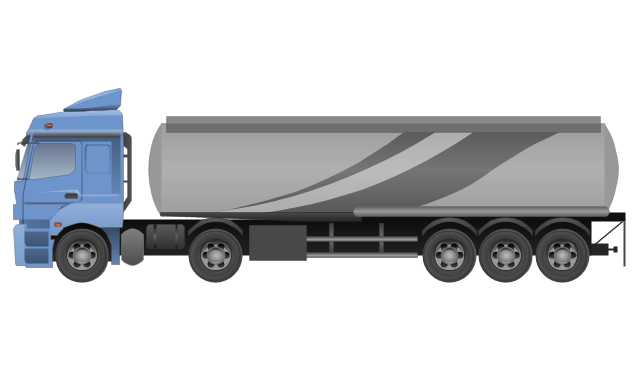
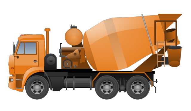
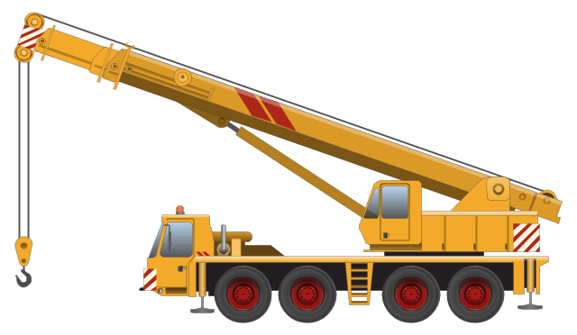
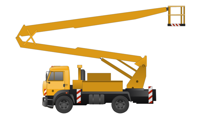
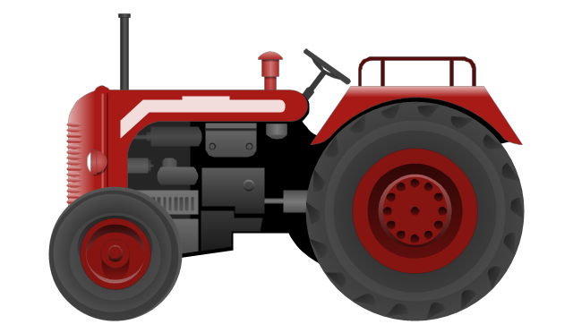
The vector stencils library "Industrial vehicles" contains 14 clipart images of industrial and building vehicles for drawing illustrations.
"A truck (US, CA, AU, NZ) or lorry (UK and Ireland) is a motor vehicle designed to transport cargo. Trucks vary greatly in size, power, and configuration, with the smallest being mechanically similar to an automobile. Commercial trucks can be very large and powerful, and may be configured to mount specialized equipment, such as in the case of fire trucks and concrete mixers and suction excavators. Modern trucks are largely powered by diesel engines exclusively, although small to medium size trucks with gasoline engines exist in America. In the European Union vehicles with a gross combination mass of less than 3,500 kilograms (7,716 lb) are known as light commercial vehicles and those over as large goods vehicles." [Truck. Wikipedia]
The clip art example "Industrial vehicles - Vector stencils library" was created in the ConceptDraw PRO diagramming and vector drawing software using the Manufacturing and Maintenance solution from the Illustration area of ConceptDraw Solution Park.
Excavator
Bucket loader
Forklift truck
Road roller
Dumper truck
Tank truck
Concrete mixing transport truck
Truck-mounted crane
Aerial work platform
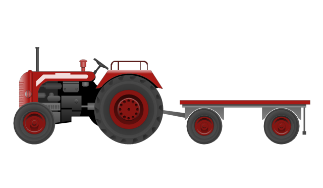
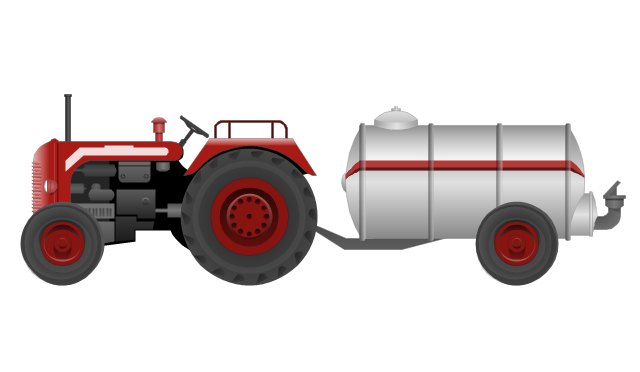
Tractor
Tractor with a trailer
Tractor with a petrol tanker
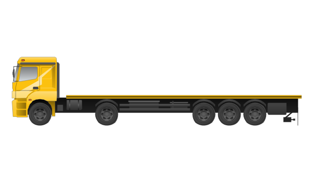
Full trailer truck
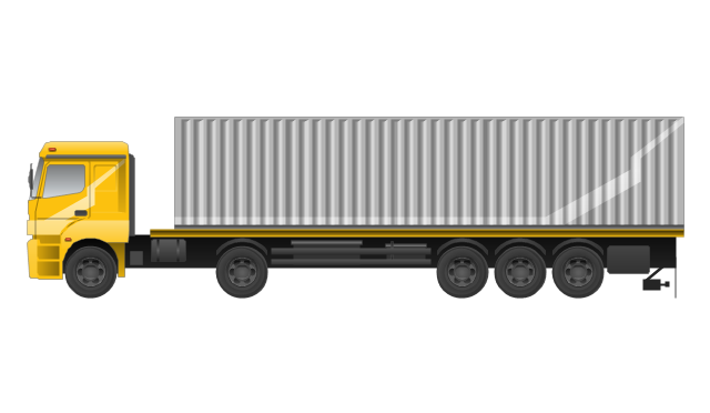
Trailer with container
The vector stencils library "Road transport" contains 43 clip art images for creating vehicles and transportation illustrations, presentation slides, infographics and webpages using the ConceptDraw PRO diagramming and vector drawing software.
"Road transport (British English) or road transportation (American English) is the transport of passengers or goods on roads. ...
Transportation.
Transport on roads can be roughly grouped into the transportation of goods and transportation of people. In many countries licencing requirements and safety regulations ensure a separation of the two industries.
The nature of road transportation of goods depends, apart from the degree of development of the local infrastructure, on the distance the goods are transported by road, the weight and volume of the individual shipment, and the type of goods transported. For short distances and light, small shipments a van or pickup truck may be used. For large shipments even if less than a full truckload a truck is more appropriate. In some countries cargo is transported by road in horse-drawn carriages, donkey carts or other non-motorized mode. Delivery services are sometimes considered a separate category from cargo transport. In many places fast food is transported on roads by various types of vehicles. For inner city delivery of small packages and documents bike couriers are quite common.
People are transported on roads either in individual cars or automobiles, or in mass transit by bus or coach. Special modes of individual transport by road like rickshaws or velotaxis may also be locally available." [Road transport. Wikipedia]
The vector stencils library "Road transport" is included in the Aerospace and Transport solution from the Illustrations area of ConceptDraw Solution Park.
www.conceptdraw.com/ solution-park/ illustrations-aerospace-transport
Bicycle

Motorcycle

Race car

Car

Taxi

Sedan

Hatchback

Estate car

4x4

Limousine

Police car

Ambulance

Fire apparatus

Wrecker

Semi truck

Truck

Trailer

Refrigeration Truck

Petrol Tanker

Truck

Minibus

City Bus

Bus

Sightseeing Bus

Double-decker Bus

Trolleybus

Military Ambulance

Armored police vehicle

First Aid Tent

Catering Vehicle

Semi-trailer

Fuel Tank

Fire Station

Signal Light

Walkie-Talkie

Lorry

B-Train

Taxi

Armored cash transport car

Car isometric

Car isometric

Box truck isometric

Bus isometric

How To Create Onion Diagram

But how to create Onion Diagram? Now, it's very easy thanks to the ConceptDraw PRO diagramming and vector drawing software extended with Stakeholder Onion Diagrams Solution from the Management Area of ConceptDraw Solution Park.
- Lighting Plan Symbols Nz
- Geo Map - Australia - New Zealand
- Nz Map Png
- Australia and New Zealand - Vector stencils library | Australia and ...
- Geo Map - Australia
- Geo Map - Australia - Nothern Territory | Australia and New Zealand ...
- Australia Map | Geo Map - Australia - New Zealand | Geo Map ...
- Australia map template | Australia map template | New Zealand Map
- Australia and New Zealand - Vector stencils library
- Australia Map Clip Art
- Geo Map - Australia - Tasmania | | | Tasmania
- Continent Map Australia
- Geo Map - Australia - Western Australia | Australia Map | | Western ...
- Geo Map - Australia - Nothern Territory | Geo Map - Canada - Yukon ...
- Australia states time zones - Thematic map | How to Draw Maps of ...
- Design elements - Industrial vehicles | Industrial vehicles - Vector ...
- Geo Map
- Industrial vehicles - Vector stencils library | Design elements ...
- Australia map - Template | Australia management infogram ...
- Fiji Islands On The Globe
- ERD | Entity Relationship Diagrams, ERD Software for Mac and Win
- Flowchart | Basic Flowchart Symbols and Meaning
- Flowchart | Flowchart Design - Symbols, Shapes, Stencils and Icons
- Flowchart | Flow Chart Symbols
- Electrical | Electrical Drawing - Wiring and Circuits Schematics
- Flowchart | Common Flowchart Symbols
- Flowchart | Common Flowchart Symbols