The vector stencils library "Geography" contains 14 clipart images of natural landscapes and water features for drawing illustrations.
"A natural landscape is a landscape that is unaffected by human activity. A natural landscape is intact when all living and nonliving elements are free to move and change. The nonliving elements distinguish a natural landscape from a wilderness. A wilderness includes areas within which natural processes operate without human interference, but a wilderness must contain life. As implied, a natural landscape may contain either the living or nonliving or both." [Natural landscape. Wikipedia]
The clip art example "Geography - Vector stencils library" was created using the ConceptDraw PRO diagramming and vector drawing software extended with the Nature solution from the Illustration area of ConceptDraw Solution Park.
www.conceptdraw.com/ solution-park/ illustrations-nature
Geo Map - Africa - Cameroon
Cameroon, officially the Republic of Cameroon, is a country in the west Central Africa region.The vector stencils library Cameroon contains contours for ConceptDraw PRO diagramming and vector drawing software. This library is contained in the Continent Maps solution from Maps area of ConceptDraw Solution Park.
ConceptDraw Arrows10 Technology
You can see that when you rotate a group, connectors change their angle, keeping their position inside of the grouped objects. If you decide to ungroup the objects, the connectors will adjust to keep lines parallel to the edges of the sheet.The magic of ConceptDraw Arrows10’s rotating group containing connectors, makes complex diagramming simple and easy.
The way to connect objects has never been easier.
ConceptDraw Arrows10 Technology
With ConceptDraw Arrows10 Technology - You can delete a single connector, by using the Delete key. If you need to delete more than a single connector in a complex diagram that contains many relations there is a special Delete Links tool which deletes the connectors only, no other drawing objects are deleted.Create Block Diagram
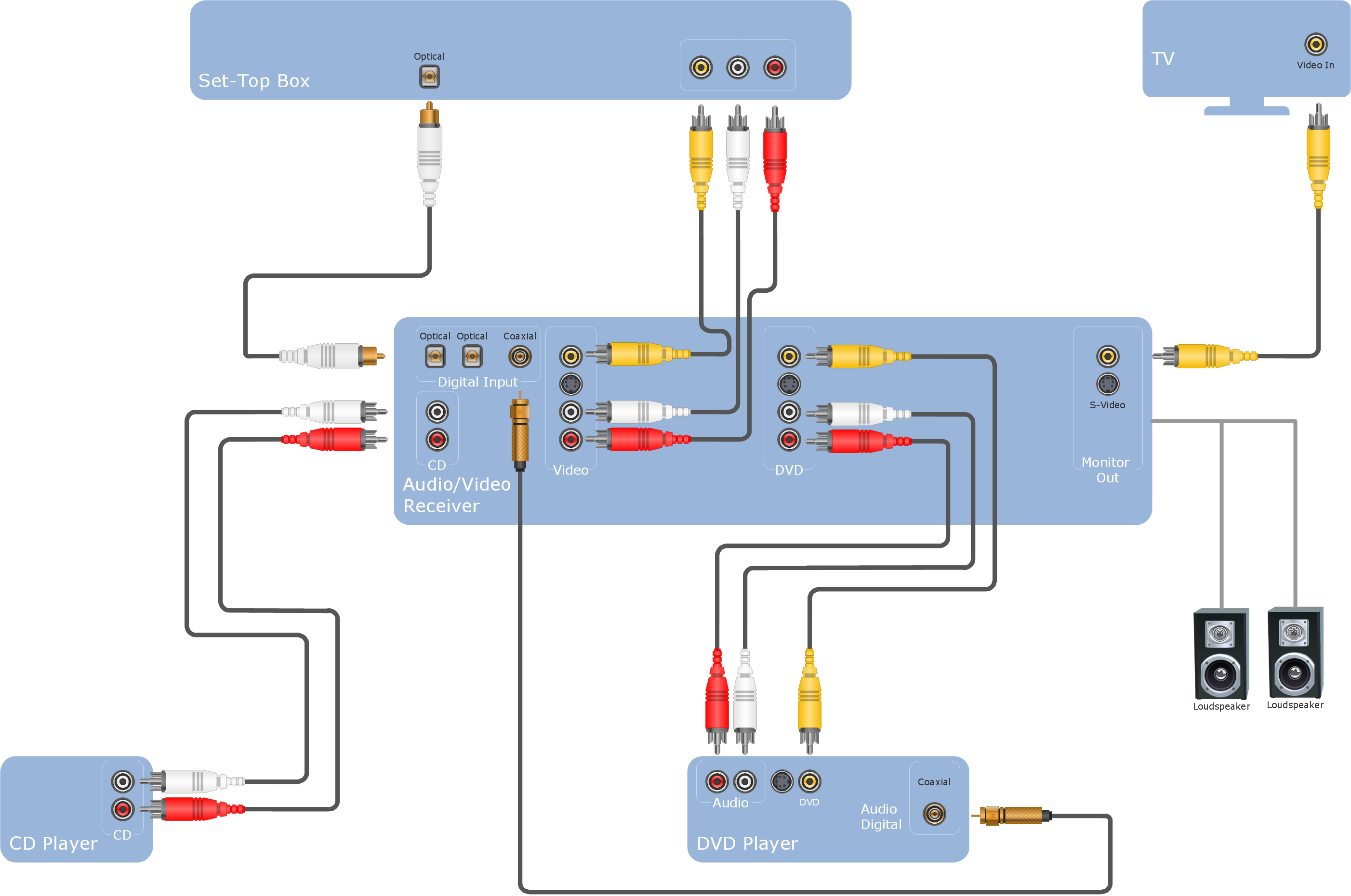
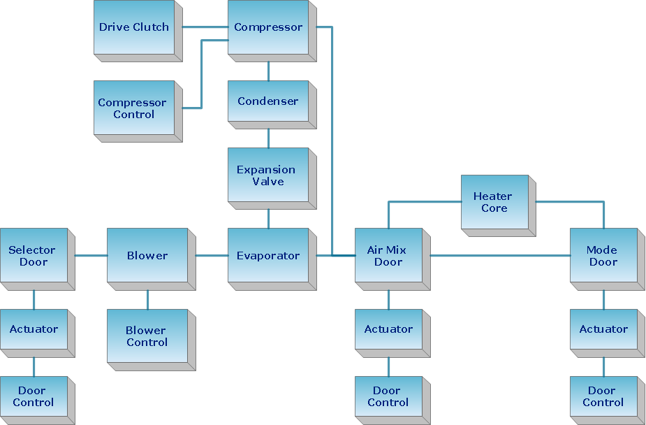
Block diagrams solution extends ConceptDraw PRO software with templates, samples and libraries of vector stencils for creating the block diagram.Create block diagrams, electrical circuit diagrams, schematics, and more in minutes with ConceptDraw PRO.
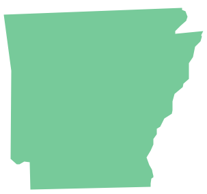
Geo Map - USA - Arkansas
Arkansas is a state located in the Southern region of the United States.The vector stencils library Arkansas contains contours for ConceptDraw PRO diagramming and vector drawing software. This library is contained in the Continent Maps solution from Maps area of ConceptDraw Solution Park.
Geo Map - South America - Haiti
Haiti, officially the Republic of Haiti, is a Caribbean country.The vector stencils library Haiti contains contours for ConceptDraw PRO diagramming and vector drawing software. This library is contained in the Continent Maps solution from Maps area of ConceptDraw Solution Park.
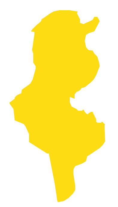
Geo Map - Africa - Tunisia
Tunisia, officially the Tunisian Republic, is a country in the Maghreb region of North Africa.The vector stencils library Tunisia contains contours for ConceptDraw PRO diagramming and vector drawing software. This library is contained in the Continent Maps solution from Maps area of ConceptDraw Solution Park.
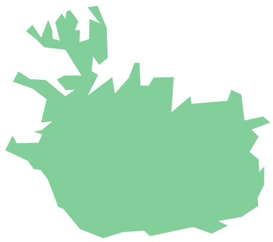
Geo Map - Europe - Iceland
The vector stencils library Iceland contains contours for ConceptDraw PRO diagramming and vector drawing software. This library is contained in the Continent Maps solution from Maps area of ConceptDraw Solution Park.Geo Map - Europe - Russia
The vector stencils library Russia contains contours for ConceptDraw PRO diagramming and vector drawing software. This library is contained in the Continent Maps solution from Maps area of ConceptDraw Solution Park.Geo Map - Europe
Europe is a continent that comprises the westernmost part of Eurasia.ConceptDraw PRO is idea to draw the geological maps of Europe from the pre-designed vector geo map shapes.
Use it to draw thematic maps, geospatial infographics and vector illustrations for your business documents, presentations and websites.
Geo Map - Europe - Bulgaria
Bulgaria, officially the Republic of Bulgaria, is a country located in Southeastern Europe.Use the Continent Maps solution to create Bulgaria geographical map, cartograms and thematic map, to help visualize the business and thematic information connected with geographic areas, locations or customs.
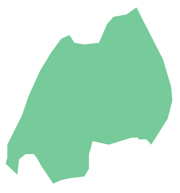
Geo Map - Africa - Rwanda
Rwanda, officially the Republic of Rwanda, is a sovereign state in central and east Africa.The vector stencils library Rwanda contains contours for ConceptDraw PRO diagramming and vector drawing software. This library is contained in the Continent Maps solution from Maps area of ConceptDraw Solution Park.
Geo Map - Asia
ConceptDraw is idea to draw the geological maps of Asia from the pre-designed vector geo map shapes.Use Geo Map Asia to draw thematic maps, geospatial infographics and vector illustrations for your business documents, presentations and websites.
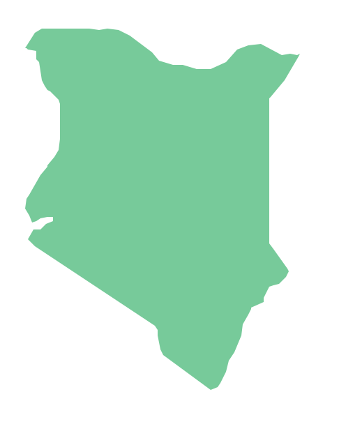
Geo Map - Africa - Kenya
Kenya, officially the Republic of Kenya, is a sovereign state in the African Great Lakes region of East Africa.The vector stencils library Kenya contains contours for ConceptDraw PRO diagramming and vector drawing software. This library is contained in the Continent Maps solution from Maps area of ConceptDraw Solution Park.
- Map Software | How to Draw a Natural Landscape | Beautiful Nature ...
- Drawing Of Mountains Rivers Forests Seas
- Features Of A Mountain Drawing
- Draw Hill Mountain River Forest
- Geography - Vector stencils library | How to Draw a Natural ...
- Geography - Vector stencils library | How to Draw a Natural ...
- Design elements - Geography | How to Draw a Natural Landscape ...
- Drawing Illustration | Nature Drawings - How to Draw | How to Draw ...
- Mountain To River Illustration
- Nature | How to Draw a Natural Landscape | Map Software | Solution ...
- How to Draw a Natural Landscape | Geography - Vector stencils ...
- How to Draw a Natural Landscape | Geography - Vector stencils ...
- Hills Drawing
- Design elements - Geography | Geography - Vector stencils library ...
- Drawing Of River Lake And Waterfall
- How to Draw a Natural Landscape | Geography - Vector stencils ...
- Drawings Of Mountains And Sea
- How to Draw a Natural Landscape | Geography - Vector stencils ...
- Geography - Vector stencils library | How to Draw a Natural ...
- Draw A Mountain Valley River Lake
- ERD | Entity Relationship Diagrams, ERD Software for Mac and Win
- Flowchart | Basic Flowchart Symbols and Meaning
- Flowchart | Flowchart Design - Symbols, Shapes, Stencils and Icons
- Flowchart | Flow Chart Symbols
- Electrical | Electrical Drawing - Wiring and Circuits Schematics
- Flowchart | Common Flowchart Symbols
- Flowchart | Common Flowchart Symbols


