Spatial infographics Design Elements: Location Map

Brilliant Examples of Infographics Map, Transport, Road

This location map sample was created on the base on the map "Location of the Migration Health Assessment Center (MHAC)" from the website of the U.S. Embassy in Nepal. "Applicants for U.S. immigrant visas and transportation letters are required to have medical examinations performed by IOM (International Organization for Migration) Embassy panel physicians. ... Health assessments for the immigrants to the US are conducted by the International Organization for Migration (IOM) at the Migration Health Assessment Center."
[nepal.usembassy.gov/ visas/ immigrant-visas/ medical-exams.html]
The location map example "Location of the Migration Health Assessment Center (MHAC)" was created using the ConceptDraw PRO diagramming and vector drawing software extended with the Directional Maps solution from the Maps area of ConceptDraw Solution Park.
Location map
.png--diagram-flowchart-example.png)
Geospatial Data

 Directional Maps
Directional Maps solution extends ConceptDraw PRO software with templates, samples and libraries of vector stencils for drawing the directional, location, site, transit, road and route maps, plans and schemes.
Spatial infographics Design Elements: Continental Map

The vector stencils library "Landmarks" contains 34 signs and pictograms for drawing road and transit maps.
The vector stencils library "Map symbols" contains 10 signs and pictograms for drawing road and transit maps.
"A landmark is a recognizable natural or man-made feature used for navigation, a feature that stands out from its near environment and is often visible from long distances.
In modern use, the term can also be applied to smaller structures or features, that have become local or national symbols." [Landmark. Wikipedia]
The pictograms example "Design elements - Location map" was created using the ConceptDraw PRO diagramming and vector drawing software extended with the Spatial Infographics solution from the Maps area of ConceptDraw Solution Park.
Landmarks and Map symbols

Spatial infographics Design Elements: Transport Map

Subway infographic design elements - software tools

How tо Represent Information Graphically

 Spatial Infographics
Spatial infographics solution extends ConceptDraw PRO software with infographic samples, map templates and vector stencils libraries with design elements for drawing spatial information graphics.
Map Infographic Design

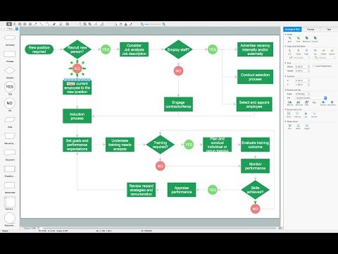
Flow chart Example. Warehouse Flowchart

Standard warehousing process flow diagram and standard workflow diagram used for process identification for further evaluating effectiveness and profitability of overall business process. Use the ConceptDraw PRO diagramming and vector drawing software extended with the Flowcharts solution from the Diagrams area of ConceptDraw Solution Park to design your own workflow diagrams, process flow diagram and flow charts. Need to use Process Flow Diagram for designing Warehouse packages flow.
Map Infographic Tool

Map Directions

- Example Of A Location Map
- Location Plan And Vicinity Map Sample
- Brilliant Examples of Infographics Map , Transport, Road | Directional ...
- Location Map Sample
- Spatial infographics Design Elements: Location Map | Conference ...
- Example Of Vicinity Map Of The House Wityh Landmark
- Example Of Railway Station Symbols In Maps
- Location of the Migration Health Assessment Center (MHAC) | Mhac ...
- Road Maps Location
- Spatial infographics Design Elements: Location Map | Design ...
- House Map
- Sample Map Of The Continent
- Spatial infographics Design Elements: Location Map | Directional ...
- Directional Maps | Directions Maps | Conference centre location ...
- Location of the Migration Health Assessment Center (MHAC) | 2D ...
- Conference centre location map | Directional Maps | 2D Directional ...
- Spatial infographics Design Elements: Continental Map | Superb ...
- Spatial infographics Design Elements: Location Map | Process ...
- Www Example Of Geographical Location
- Location of the Migration Health Assessment Center (MHAC) | Map ...
- ERD | Entity Relationship Diagrams, ERD Software for Mac and Win
- Flowchart | Basic Flowchart Symbols and Meaning
- Flowchart | Flowchart Design - Symbols, Shapes, Stencils and Icons
- Flowchart | Flow Chart Symbols
- Electrical | Electrical Drawing - Wiring and Circuits Schematics
- Flowchart | Common Flowchart Symbols
- Flowchart | Common Flowchart Symbols