Geo Map - Africa - Egypt

The vector stencils library Egypt contains contours for ConceptDraw DIAGRAM diagramming and vector drawing software. This library is contained in the Continent Maps solution from Maps area of ConceptDraw Solution Park.
Geo Map - Africa - Sudan

The vector stencils library Sudan contains contours for ConceptDraw DIAGRAM diagramming and vector drawing software. This library is contained in the Continent Maps solution from Maps area of ConceptDraw Solution Park.
Geo Map - Africa - Gambia

The vector stencils library Gambia contains contours for ConceptDraw DIAGRAM diagramming and vector drawing software. This library is contained in the Continent Maps solution from Maps area of ConceptDraw Solution Park.
Geo Map — Europe — Sweden

Geo Map - Africa - South Sudan
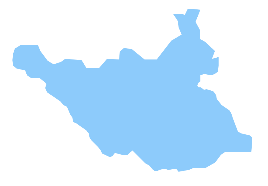
The vector stencils library South Sudan contains contours for ConceptDraw DIAGRAM diagramming and vector drawing software. This library is contained in the Continent Maps solution from Maps area of ConceptDraw Solution Park.
Geo Map — South America Continent

ConceptDraw DIAGRAM is idea to draw the geological maps of South America continent from the pre-designed vector geo map shapes.
Use Continent Maps solution from the Maps area of ConceptDraw Solution Park to draw thematic maps, geospatial infographics and vector illustrations for your business documents, presentations and websites.
Geo Map — Asia

There are 116 vector shapes illustrating the Asia countries flags in colours as they are and you can always use some of them or all of them.
Geo Map - Asia - Israel

The vector stencils library Israel contains contours for ConceptDraw DIAGRAM diagramming and vector drawing software. This library is contained in the Continent Maps solution from Maps area of ConceptDraw Solution Park.
Geo Map - Africa - Eritrea
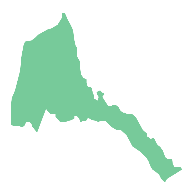
The vector stencils library Eritrea contains contours for ConceptDraw DIAGRAM diagramming and vector drawing software. This library is contained in the Continent Maps solution from Maps area of ConceptDraw Solution Park.
Geo Map - Africa - Algeria
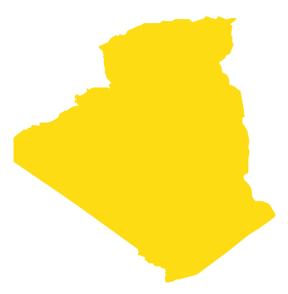
The vector stencils library Algeria contains contours for ConceptDraw DIAGRAM diagramming and vector drawing software. This library is contained in the Continent Maps solution from Maps area of ConceptDraw Solution Park.
- How To Draw Map Of Nigeria With Steps
- Draw The Map Of East And Central Africa
- Drawing Of A Map Of East Africa
- A Video On How To Draw The Map Of Nigeria
- South Sudan Map Draw
- Steps To Draw South African Map
- Geo Map - Africa - Egypt | Egypt timeline of communication ...
- Geo Map - Africa | Local area network (LAN). Computer and Network ...
- Geo Map — Africa — Tanzania | Draw A Local Government Of Liberia
- Geo Map - Africa - Egypt
- ERD | Entity Relationship Diagrams, ERD Software for Mac and Win
- Flowchart | Basic Flowchart Symbols and Meaning
- Flowchart | Flowchart Design - Symbols, Shapes, Stencils and Icons
- Flowchart | Flow Chart Symbols
- Electrical | Electrical Drawing - Wiring and Circuits Schematics
- Flowchart | Common Flowchart Symbols
- Flowchart | Common Flowchart Symbols