Basic Flowchart Symbols and Meaning
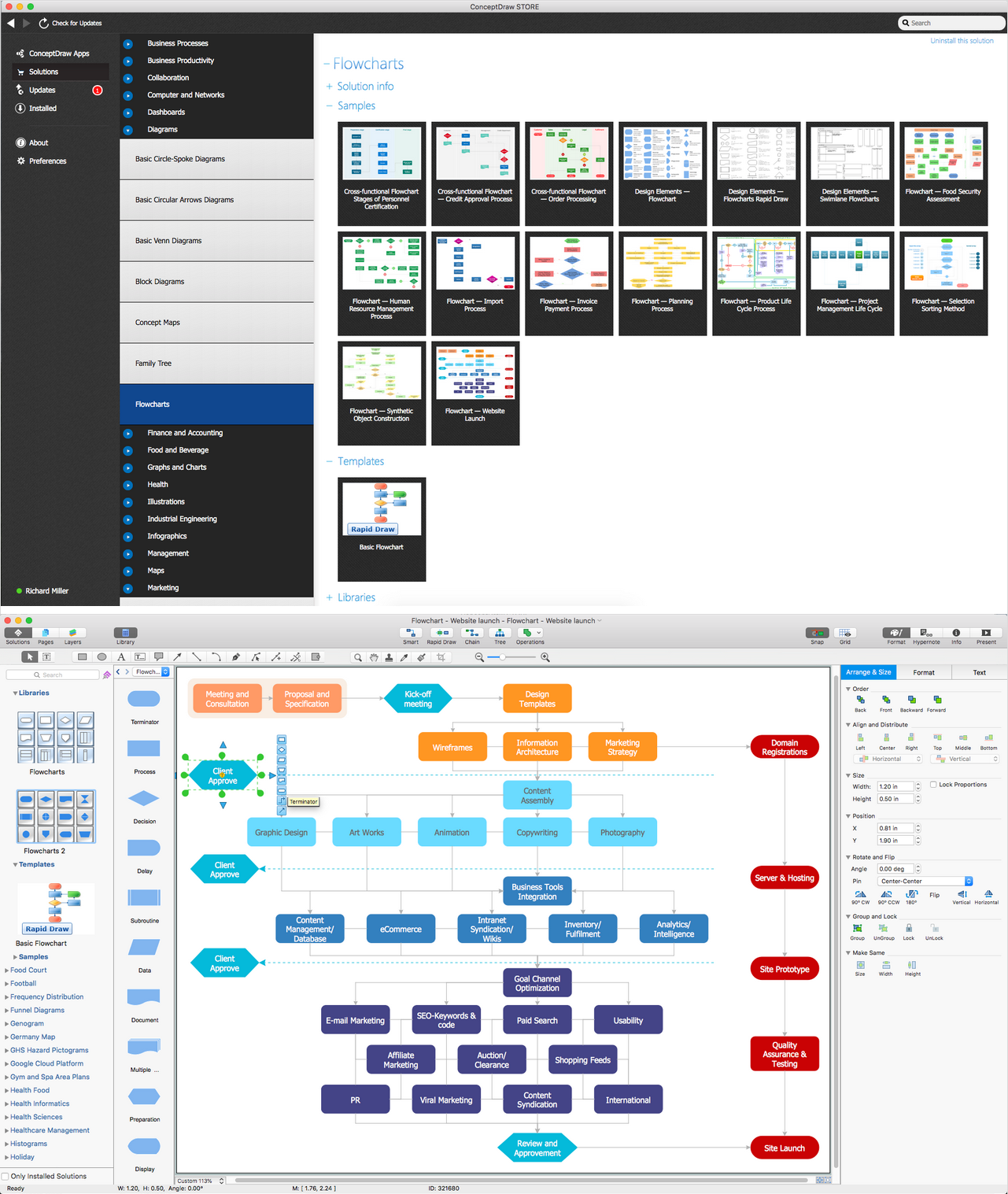
Flowchart Symbols and Meaning - Provides a visual representation of basic flowchart symbols and their proposed use in professional workflow diagram, standard process flow diagram and communicating the structure of a well-developed web site, as well as their correlation in developing on-line instructional projects. See flowchart's symbols by specifics of process flow diagram symbols and workflow diagram symbols.
Flow Map
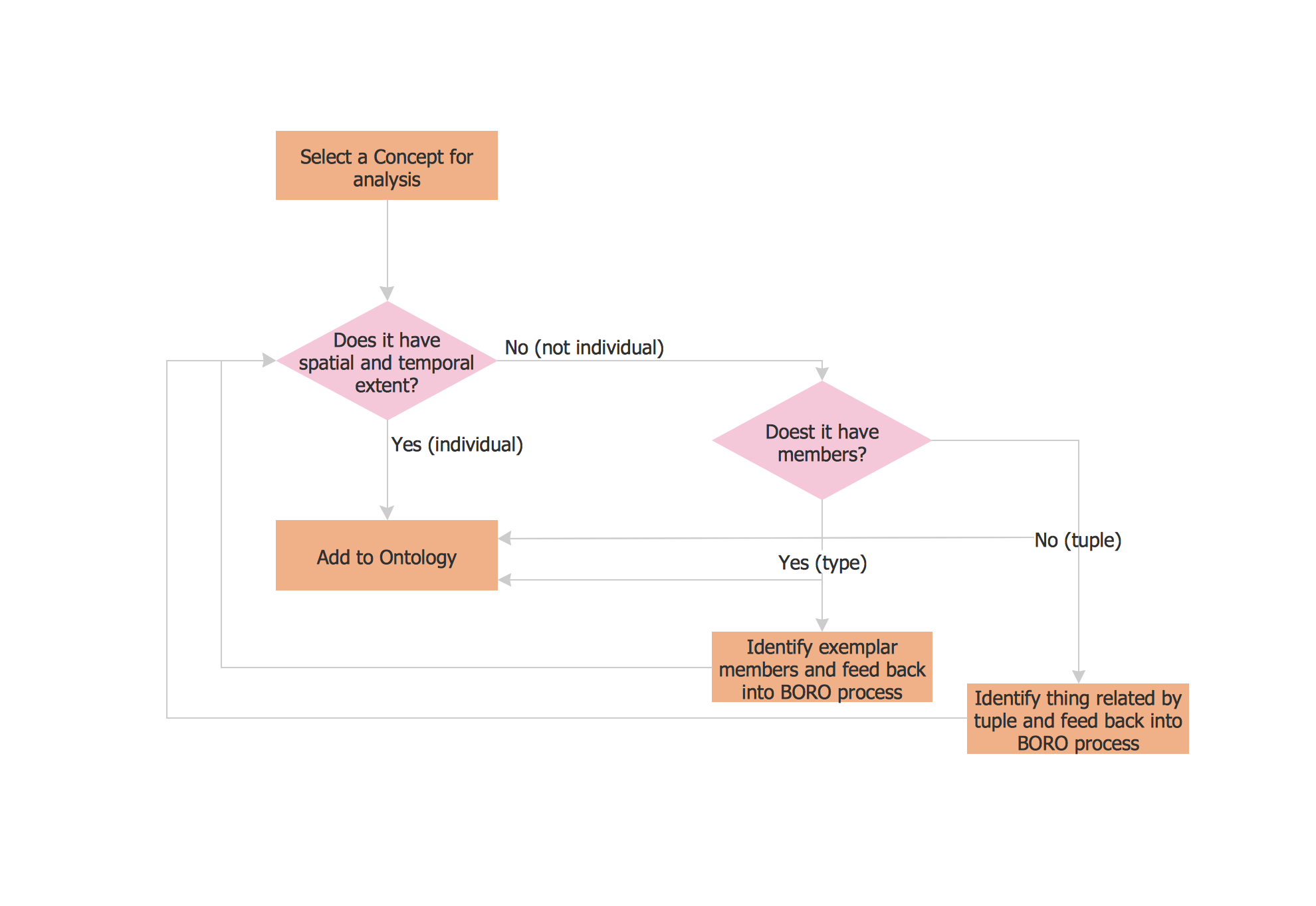
A Flow Map is a type of thinking maps which help easy organize and understand information. It consists of the set of boxes and arrows, and visually displays a sequence of events.ConceptDraw PRO diagramming and vector drawing software extended with Flowcharts Solution from the "Diagrams" Area of ConceptDraw Solution Park allows you to draw in a few minutes the Flow Map of any degree of complexity.
Geo Map - USA - Maryland
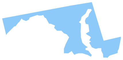
Maryland is a U.S. state located in the Mid-Atlantic region of the United States, bordering Virginia, West Virginia, and Washington, D.C. to its south and west; Pennsylvania to its north; and Delaware to its east.The vector stencils library Maryland contains contours for ConceptDraw PRO diagramming and vector drawing software. This library is contained in the Continent Maps solution from Maps area of ConceptDraw Solution Park.
USA Map
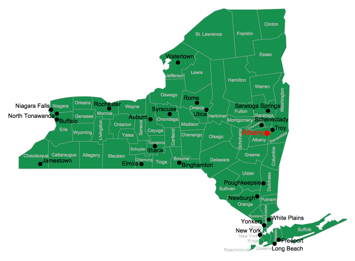
Usually designing of maps, including the USA Map is a quite complex, long and labour-intensive process. But now we have an excellent possibility to make it easier with ConceptDraw PRO diagramming and vector drawing software extended with powerful USA Maps Solution from the Maps Area of ConceptDraw Solution Park.
 USA Maps
Use the USA Maps solution to create a map of USA, a US interstate map, printable US maps, US maps with cities and US maps with capitals. Create a complete USA states map.
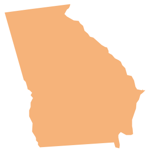
Geo Map - USA - Georgia
Georgia is a state located in the southeastern United States.The vector stencils library Georgia contains contours for ConceptDraw PRO diagramming and vector drawing software. This library is contained in the Continent Maps solution from Maps area of ConceptDraw Solution Park.
Geo Map — USA — Oklahoma
Oklahom is a state located in the South Central United States.The vector stencils library Oklahoma contains contours for ConceptDraw PRO diagramming and vector drawing software. This library is contained in the Continent Maps solution from Maps area of ConceptDraw Solution Park.
 Germany Map
The Germany Map solution contains collection of samples, templates and scalable vector stencil graphic maps, representing map of Germany and all 16 states of Germany. Use the Germany Map solution from ConceptDraw Solution Park as the base for various them
- Basic Flowchart Symbols and Meaning | Design elements - 3D ...
- Design elements - 3D directional maps | Basic Flowchart Symbols ...
- Process Flowchart | Basic Flowchart Symbols and Meaning ...
- Design elements - Subway map, Map symbols | Basic Flowchart ...
- Basic Flowchart Symbols and Meaning | Value Stream Mapping ...
- Bar Diagrams for Problem Solving. Create economics and financial ...
- Process Flowchart | Basic Diagramming | Sample Pictorial Chart ...
- Directional Map Software Examples
- Transport Flowchart
- Simple Diagramming | Process Flowchart | Basic Flowchart Symbols ...
- Basic Flowchart Symbols and Meaning | Value Stream Mapping ...
- 3D pictorial street map | Design elements - Marketing charts | Map of ...
- Design Pictorial Infographics. Design Infographics | How to Draw a ...
- Map Directions | 2D Directional map - Template | Directional Maps ...
- Directional Maps | 3D pictorial street map | Design elements - 3D ...
- Map of Germany | Subway infographic design elements - software ...
- 3D Network Diagram Software | Basic Diagramming | Directional ...
- How to Draw a Landscape Design Plan | Building Drawing Software ...
- Process Flowchart | Functional Block Diagram | Block Diagram | The ...
- Design elements - 3D directional maps | Directions Map | Directional ...
- ERD | Entity Relationship Diagrams, ERD Software for Mac and Win
- Flowchart | Basic Flowchart Symbols and Meaning
- Flowchart | Flowchart Design - Symbols, Shapes, Stencils and Icons
- Flowchart | Flow Chart Symbols
- Electrical | Electrical Drawing - Wiring and Circuits Schematics
- Flowchart | Common Flowchart Symbols
- Flowchart | Common Flowchart Symbols
